Pete's Walks - Cadmore End, Horsleys Green, Twigside Bottom (page 1 of 4)
If you are considering walking this route yourself, please see my disclaimer. You may also like to see these notes about the maps and GPX files.
I did this walk of about 7.7 miles on Saturday, 30th September, 2023. It was a new route for me though it was almost all on paths I'd walked many times before, with just two short sections I'd not walked before.
I parked along the start of Church Road in Cadmore End, near the school, and started walking at about 9.45am (Grid Reference SU 783927). I went back to the main road through the village and turned right. After going past the school on my left I took a path on that side (just after a bus stop), which passed a metal barrier and then followed a roughly surfaced track that soon went under the M40 motorway. After another hundred yards or so I took a path forking right from the track, which ran through part of Pound Wood for a short distance only to bring me back to the same track. I turned right, but very soon (100-200 yards) came to a waymark post on the left, where I turned left (another path went more sharply left here). This path soon left Pound Wood and crossed a field to reach Leygrove's Wood, where it continued northwards through the wood for about a third of a mile.
The footpath along a track from near Cadmore End school
The footpath that cuts a corner off the track
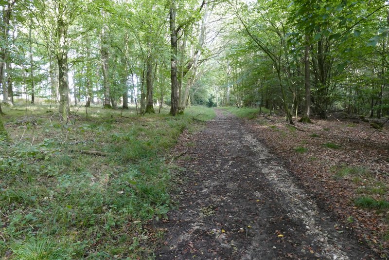
Back on the same track
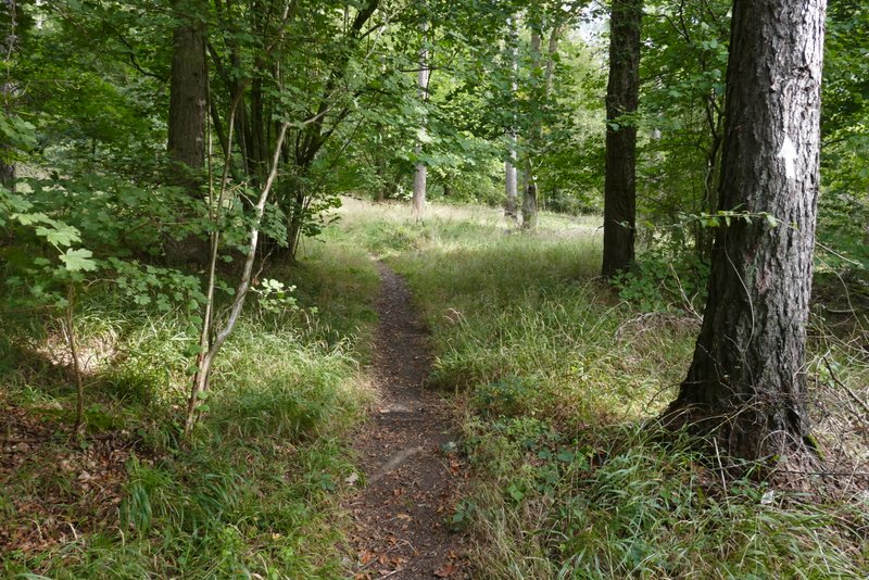
The path after turning left from the track, heading to Leygrove's Wood
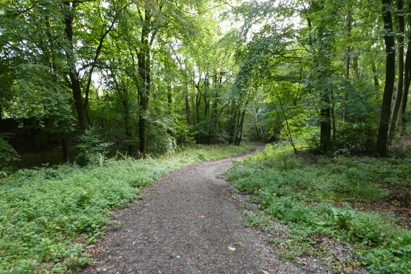
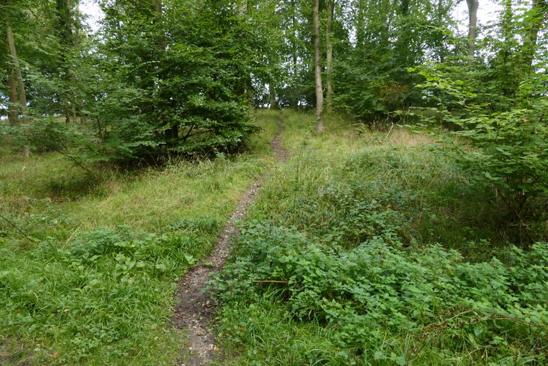
The path continuing north through Leygrove's Wood
The path continuing north through Leygrove's Wood
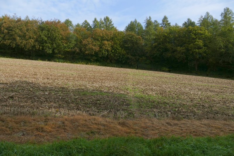
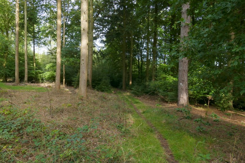
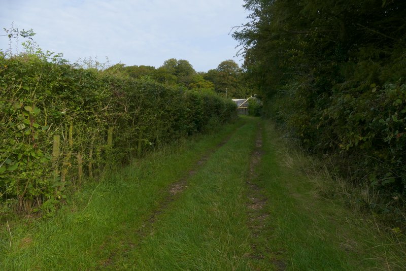
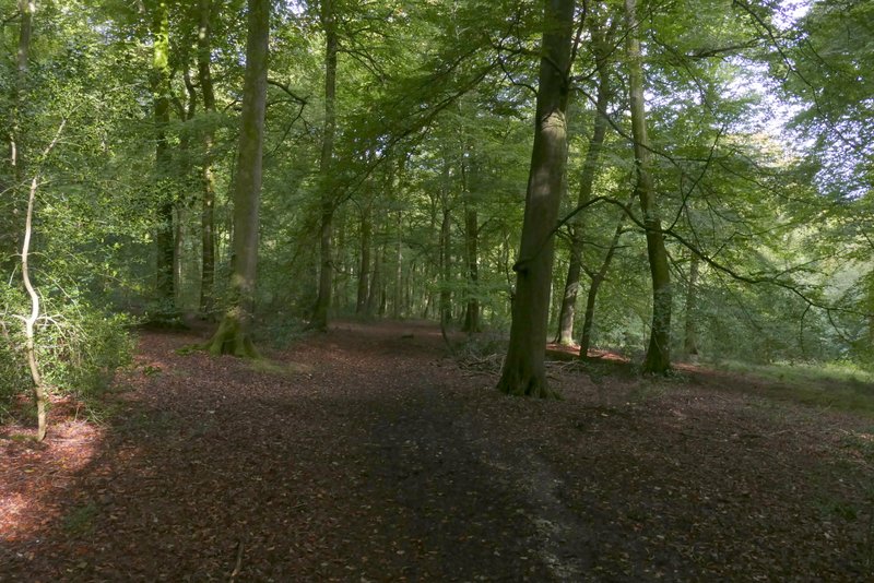
From Dell's Farm, the path continued half-right across a paddock and entered Dell's Wood. The path headed roughly north through the wood for about a quarter of a mile, following several white arrows painted on trees, soon dropping downhill into a valley.
The same path after it goes half-left after crossing another footpath
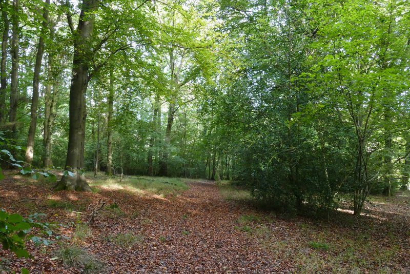
The same path continuing through Leygrove's Wood
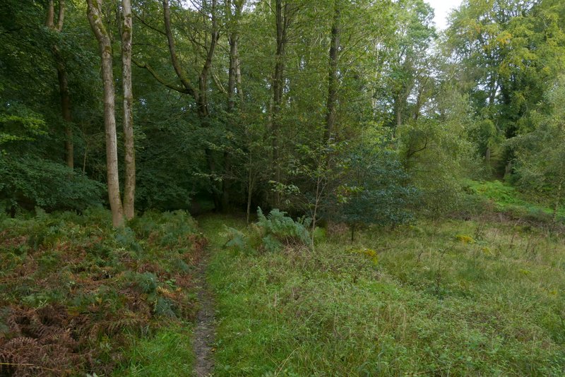
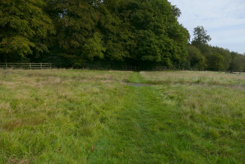
The same path just before it leaves Leygrove's Wood
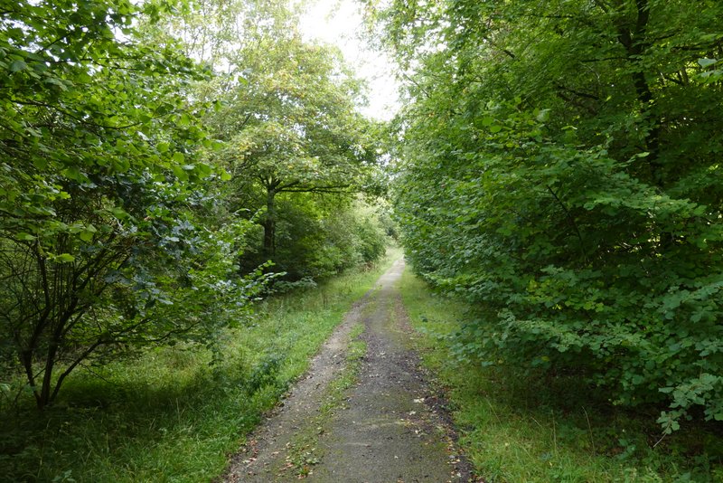
The path continuing from Leygrove's Wood
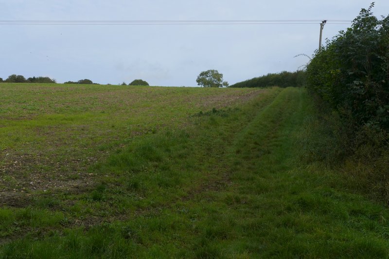
Where the path turns left in a field corner
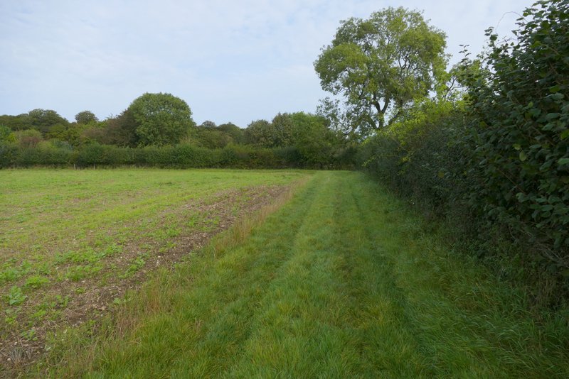
Approaching Dell's Farm, after turning right
From Dell's Farm, the path continued half-right across a paddock and entered Dell's Wood. The path headed roughly north through the wood for about a quarter of a mile, soon dropping downhill into a valley.
Crossing a paddock at Dell's Farm to reach Dell's Wood
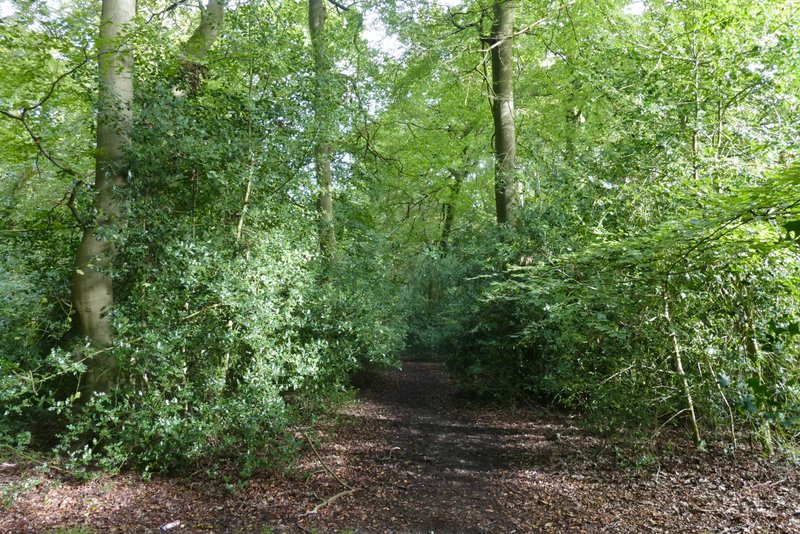
The footpath continuing through Dell's Wood
The footpath continuing through Dell's Wood