Pete's Walks - Nuffield and Hailey (page 1 of 4)
If you are considering walking this route yourself, please see my disclaimer. You may also like to see these notes about the maps and GPX files.
I did this walk of about 7.7 miles on Saturday, 28th October, 2023. It was a new route for me though it was almost all on paths I'd walked many times before, with just one path I'd not walked before.
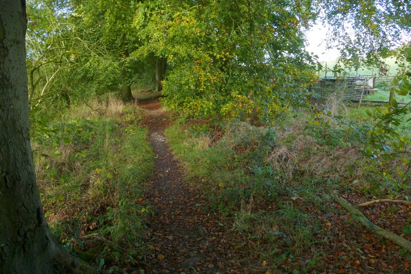
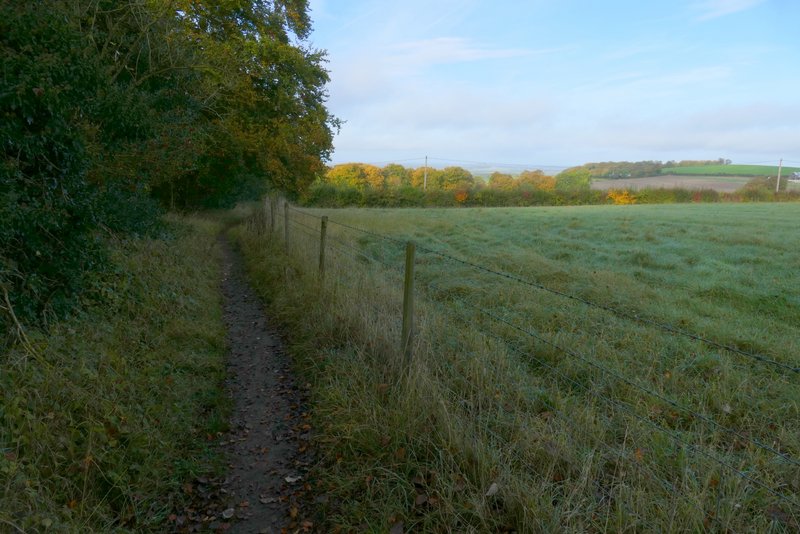
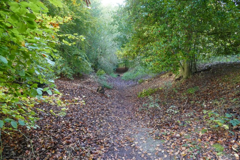
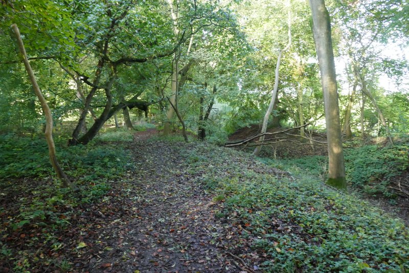
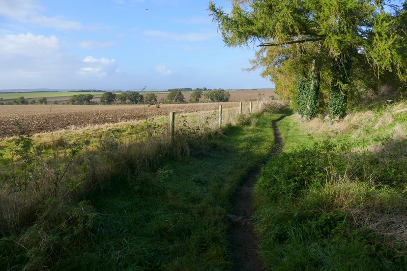
I've walked through Nuffield many times on my walks, but this was the first time I'd started a walk there. I parked near the church (Grid reference SU667873) - there were spaces for about 3 or 4 cars to park just a few yards along the lane from the church, and I found when I later returned past the church that it is possible to pay to park in the church car park (£5 for a long stay). I started waling about 10.10am, taking a footpath on the same side of the lane as the church, which is part of the Ridgeway national trail. The path started along the left edge of a field - the slightly misty conditions meant the far reaching views over the Oxfordshire Plain from here weren't at their best. The path continued through a tree belt for a little way, then I turned right onto another path, still following the sign for the Ridgeway. I would now follow this path gently downhill in a dead straight line (heading just north of west) for almost two miles, as it followed a tree belt containing an ancient earthwork called Grim's Ditch. There was a very clear section of the earthwork on my right almost straight away, then the path crossed the earthwork and continued on its right.
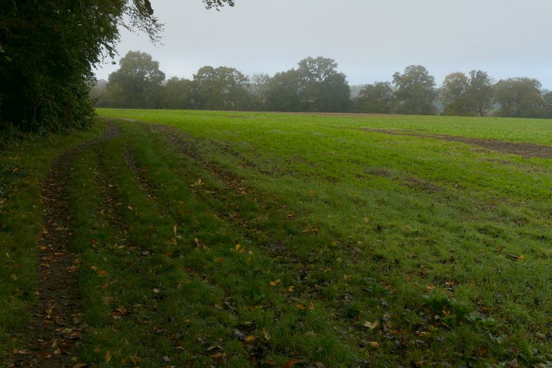
The footpath from near Nuffield church
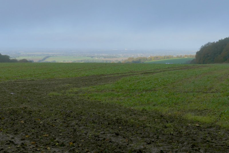
A slightly misty view out to the Oxfordshire Plain
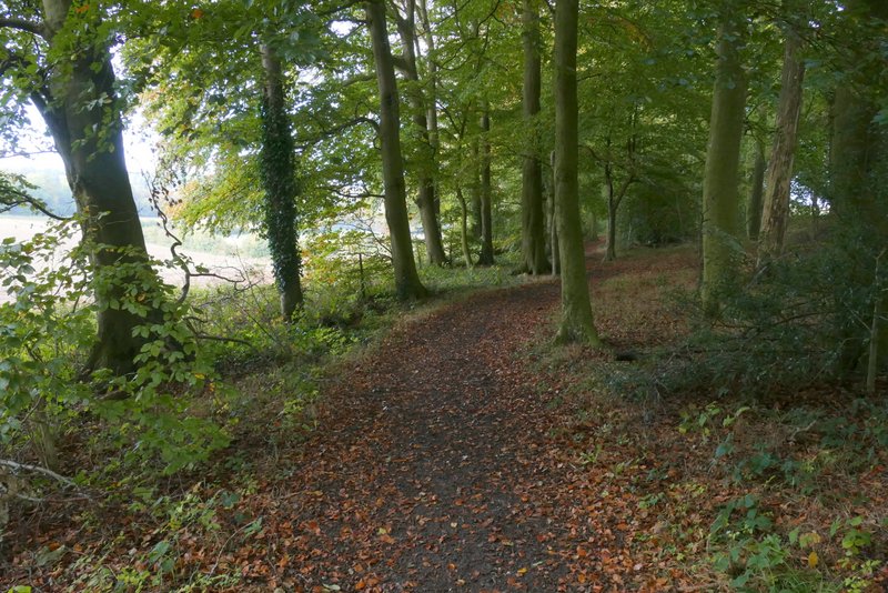
The start of the path along Grim's Ditch
Grim's Ditch
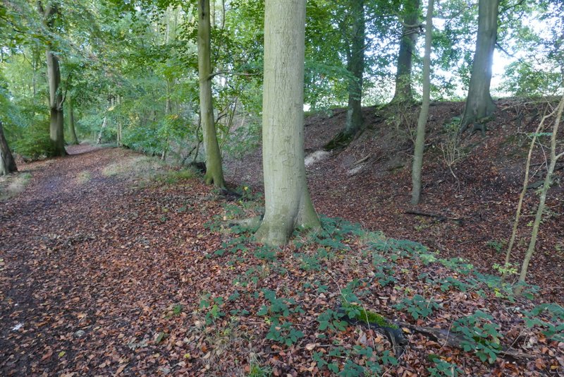
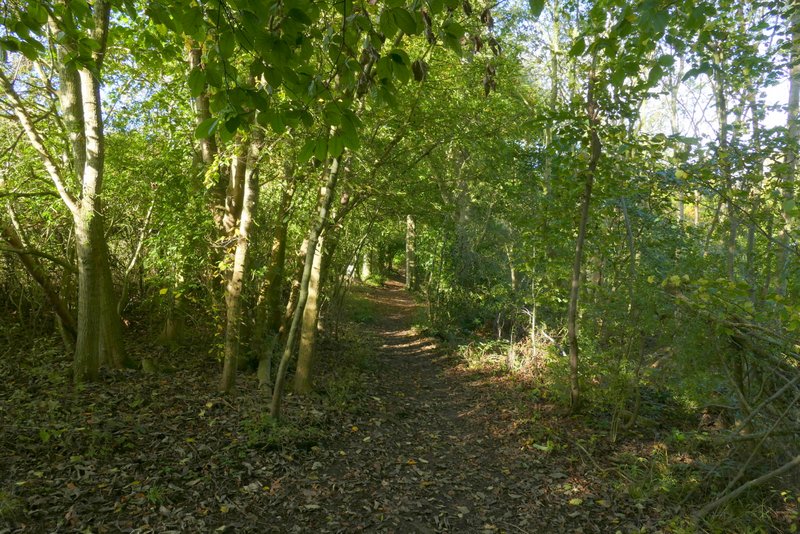
The path along Grim's Ditch
The path along Grim's Ditch
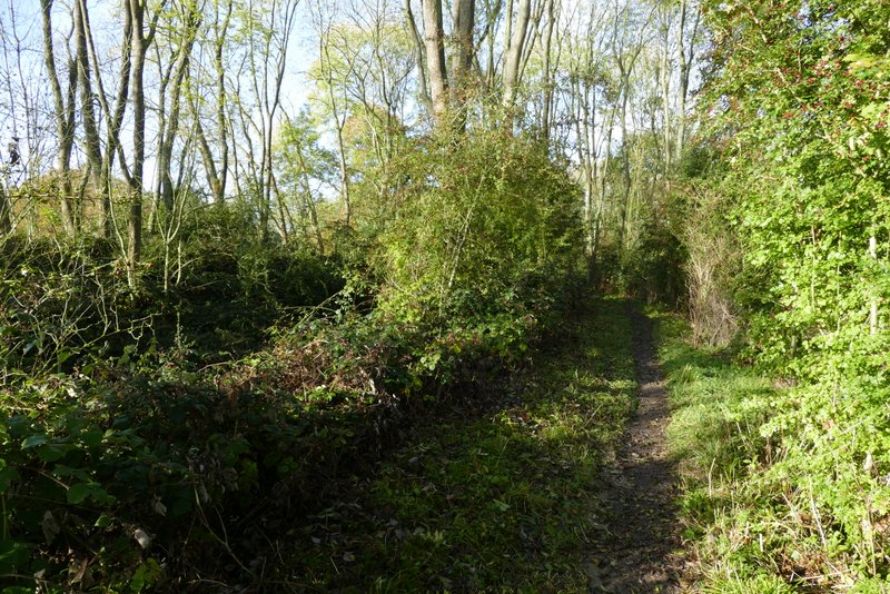
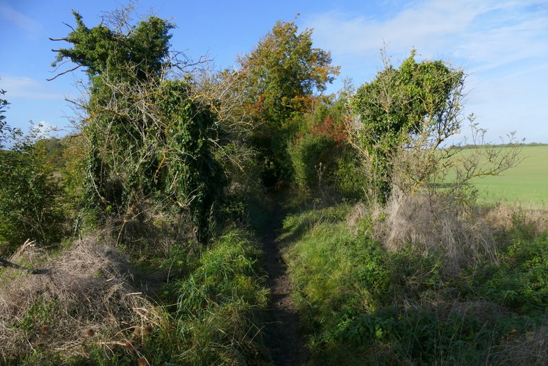
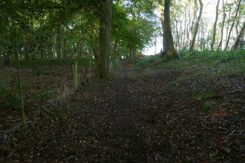
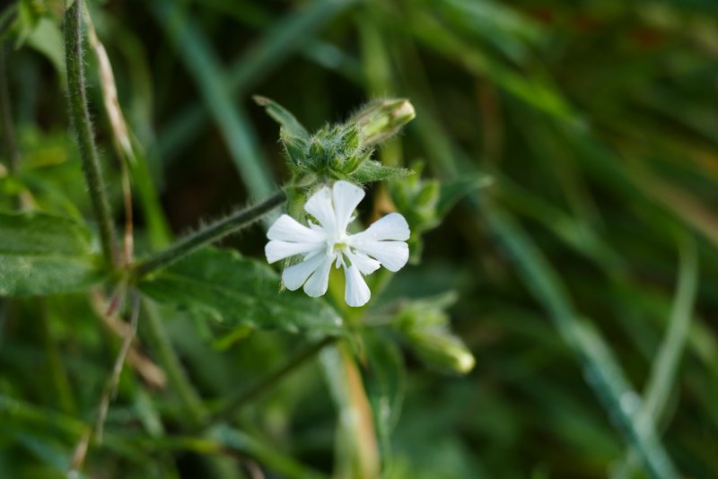
After a while I passed close to a house (named Woodlands on the OS map) - I didn't notice it today but there is usually a tap here where walkers can get water, there was another one at Nuffield church. The path then ran along the bottom of the ditch for a while, before switching to the left of the ditch - I went through two metal kissing-gates along here, and also noticed a permissive path going off to the left. At one point there was an unexpected bit of uphill, quite steep but very short. Eventually the tree belt ended and the path continued between tall hedges that occasionally had gaps in them. It then ran through Oaken Copse, before continuing beside a line of tall conifers, where I was very surprised to see some White Campion still in flower.
The path along Grim's Ditch
The path along Grim's Ditch
The path along Grim's Ditch
The path along Grim's Ditch
The path along Grim's Ditch
The path along Grim's Ditch in Oaken Copse
The path along Grim's Ditch, now running along a line of conifers
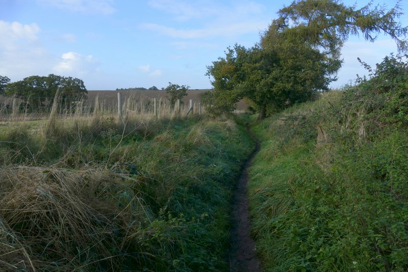
The path along Grim's Ditch, approaching the lane
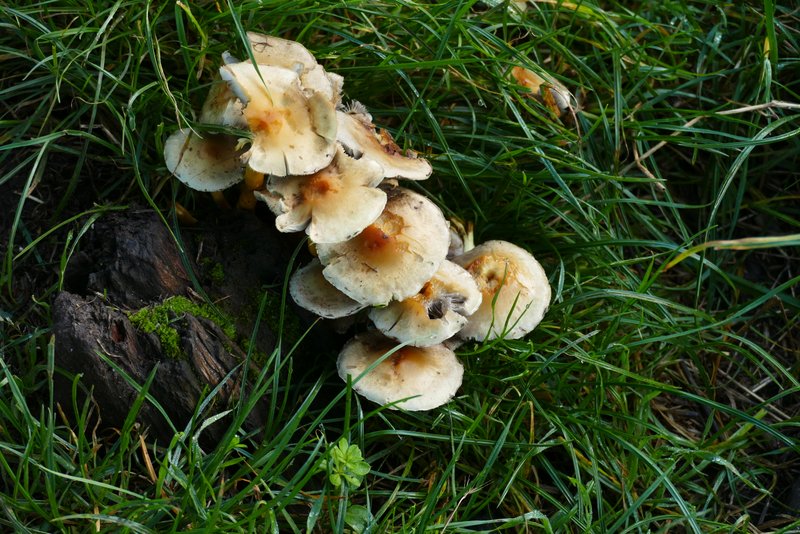
Some fungi