Pete's Walks- Ashridge and Berkhamsted Common (page 3 of 5)
If you are considering walking this route yourself, please see my disclaimer. You may also like to see these notes about the maps and GPX files.
Beyond the last paddock I re-entered the woods again - the woods to my left are named Berkhamstead (two 'a's) Common on the OS Map, those to my right are named Berkhamsted (one 'a') Common. I turned right onto a bridleway and headed into the woods of Berkhamsted Common. Again, it had been many years since I last walked this bridleway, which is odd as I used to walk it quite regularly and always thought it one of the nicest (and quietest) paths in the Ashridge area. I soon came to a drive or track, which the bridleway followed to the left, but I went straight on along an obvious path just inside the woods with fields nearby on my right (this path isn't shown on the OS map, but this is an Open Access area). I soon came to the point where the path I usually take in this area came in on the right (curiously the OS map shows it becomes a bridleway to my left). I went straight on, still following a delightful path just inside the woods with fields to the right - I'm pretty sure that after the path crossroads this was a public footpath, although the OS map seems to show it running along the edge of the fields rather than in the wood. A third of a mile or so after that path crossroads, a second footpath came in on the right (and again the OS map shows it becomes a bridleway to the left). Again I went straight on, the path just inside the wood still being very clear though again it was not on the OS map (but still in an open Access area). Eventually I reached a crossing bridleway (close to Well Farm on my right, and with a road a short distance ahead of me), where I turned left.
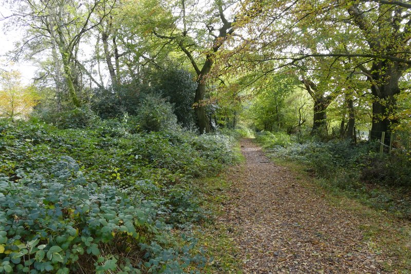
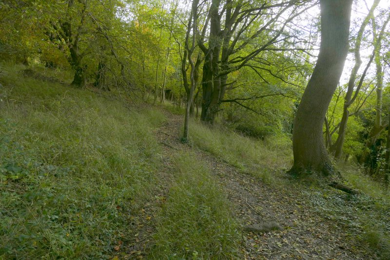
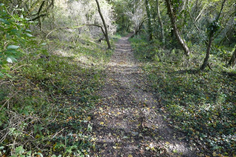
The bridleway after I turned right, along the southern edge of the woods on Berkhamstead Common
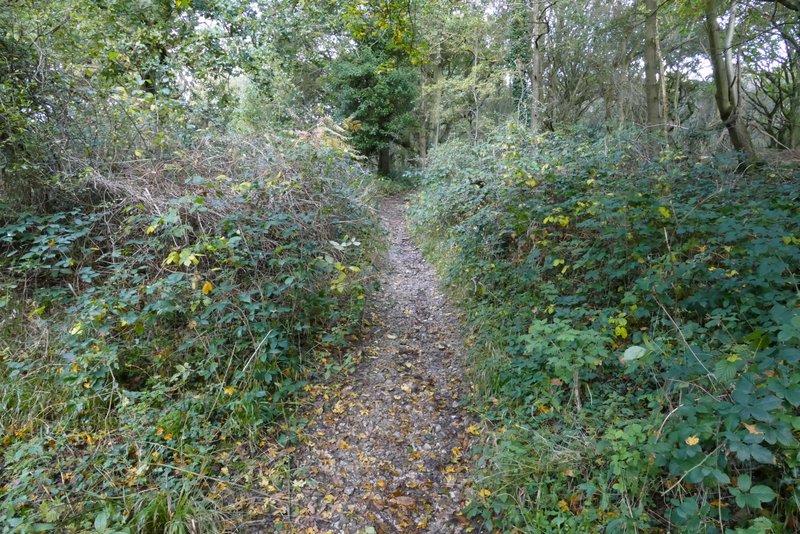
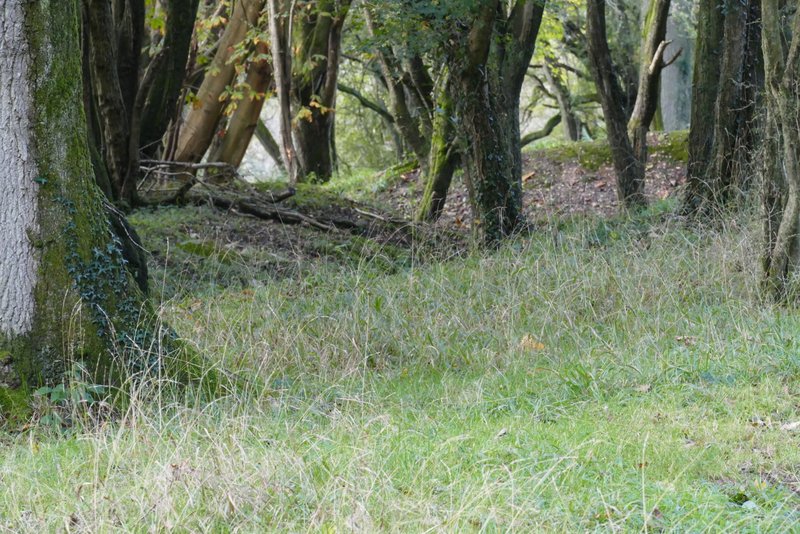
The path continuing along the southern edge of the woods on Berkhamsted Common
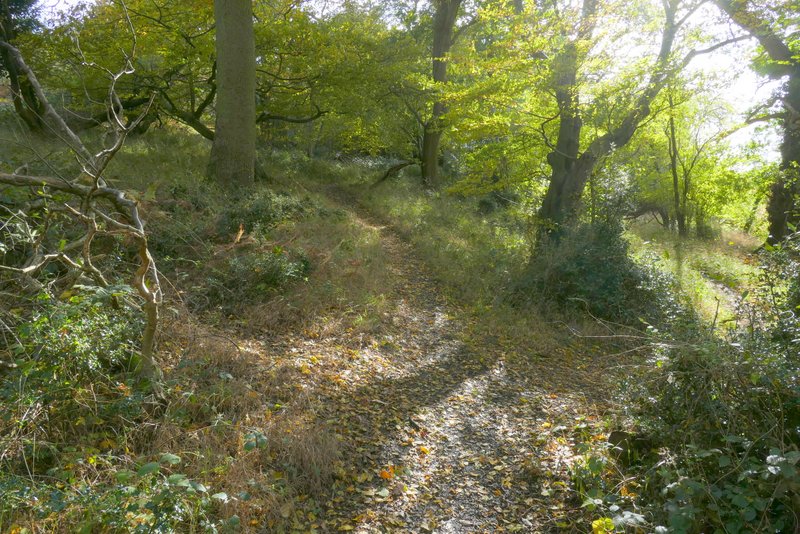
The same path
The same path
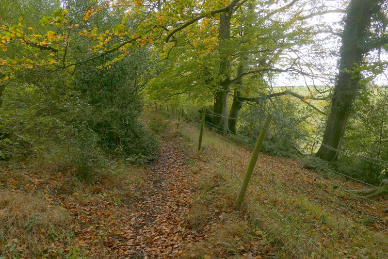
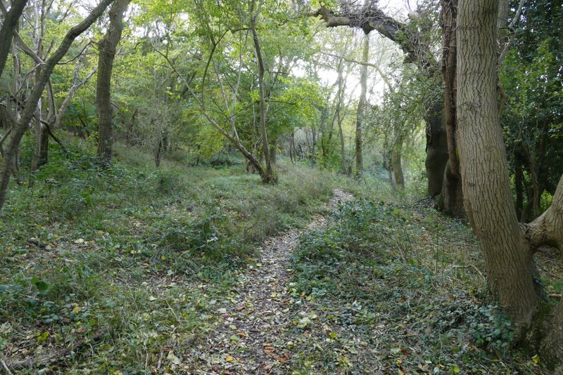
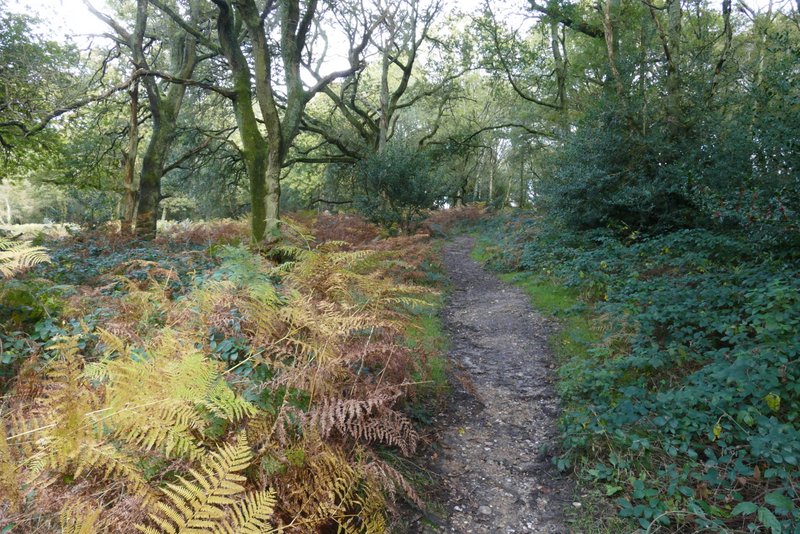
The same path, after it crosses a footpath
The same path
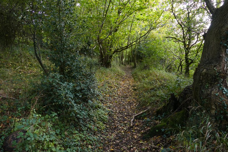
The same path
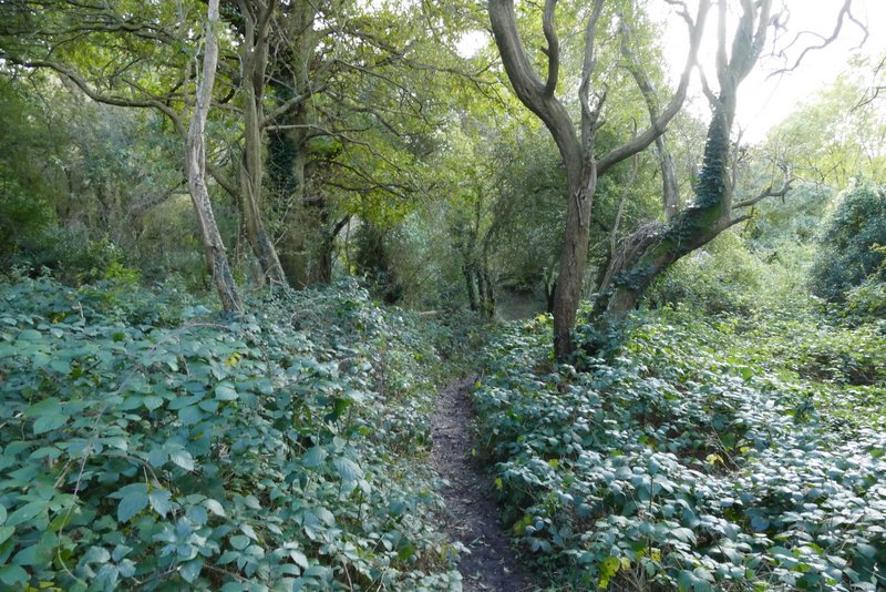
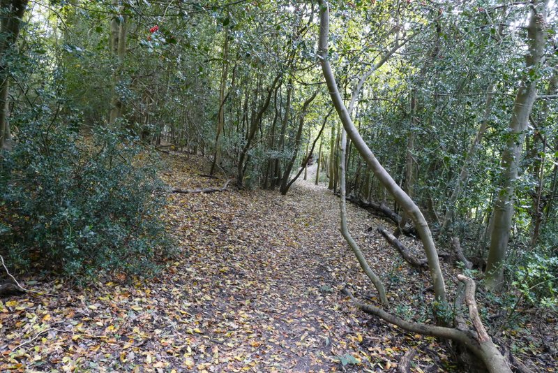
The same path
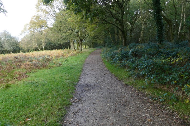
The bridleway after I turned left, near Well Farm
I soon came to a path crossroads, where I turned left - a sign indicated this was the way to some World War I practice trenches (the path is shown as a dotted black line on the OS map). After two or three hundred yards the path ended at a junction with a bridleway, where I went half-left. I soon spotted the World War I practice trenches and an information board about them on my left. As I stopped to take photos of the trenches, a man arrived by bike from the opposite direction. We got talking, first about the two other sets of such trenches in the Chilterns, and then about wildlife - he'd mentioned that the other thing he was hoping to see today were Parrot Waxcap mushrooms. We ended up spending about 20 minutes exchanging information on where to see orchids in the Chilterns.
The path after I turned left, signposted 'WW1 trenches'
Further along the same path
The bridleway after I turned half-left at the end of the path
World War I practice trenches
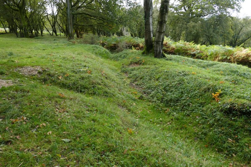
World War I practice trenches
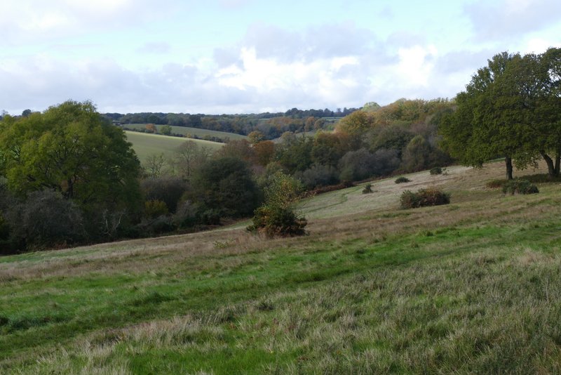
View from near the World War I practice trenches