Pete's Walks - Hambleden, Marlow Common, Moorend Common (page 1 of 5)
If you are considering walking this route yourself, please see my disclaimer. You may also like to see these notes about the maps and GPX files.
NOTE: You now have to pay to use the car park in Hambleden. I usually manage to park along the village street to the west of the church (looking at the church from the village centre, take the street on the left and follow it round to the right).
I did this circular walk of about 10 miles on Saturday, 11th November 2023. It was a repeat of a walk I did in June 2017 (which I'd also repeated in June 2018). On those occasions I did the walk in order to visit Homefield Wood and Moorend Common to look for Orchids, but it was such a good walk I was quite happy to do it again without that incentive.
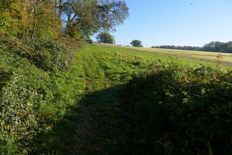
As you now have to pay to use the car park at Hambleden I parked along the village street to the west of Hambleden church instead. I started walking shortly before 10am, going back through the village centre and on to the car park. I walked through the car park and then turned left along the edge of a playing field. I turned right for a few yards when I reached a hedge, then went through a gap in the hedge and continued along a track for a few yards. I then turned left, onto a path that climbed steadily uphill beside a field on my right. Towards the top of the slope the path continued through a wood. Where another field appeared on the right, I went through a metal kissing-gate, the path continuing beside the wood for a short while before carrying on along a track between or across fields.
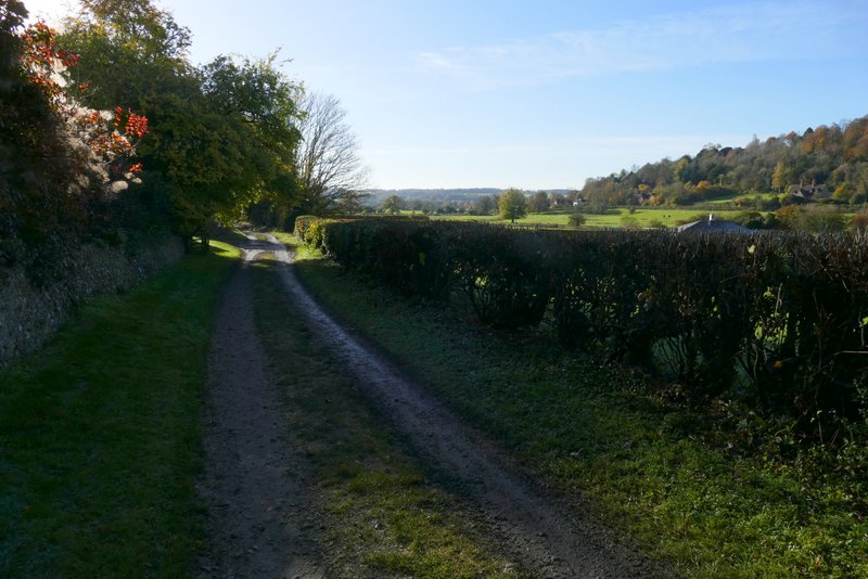
The track next to the sports ground at Hambleden
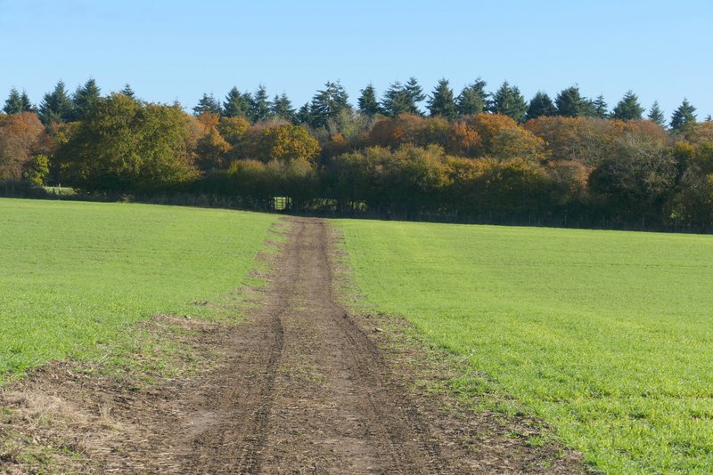
The start of the path from Hambleden to Rotten Row

A view back right across the Thames Valley near Hambleden
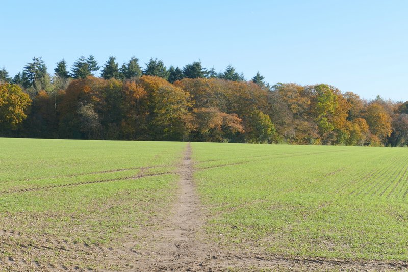
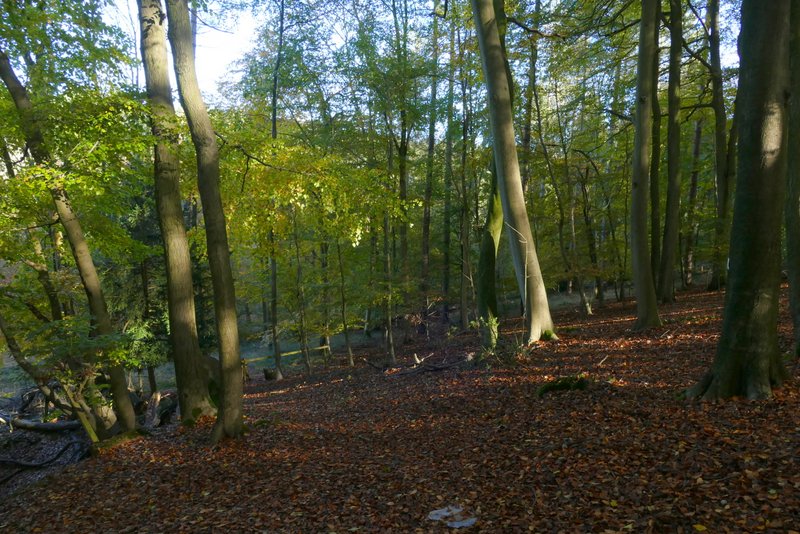
The path from Hambleden to Rotten Row, continuing uphill through the wood
The path from Hambleden to Rotten Row, about to leave the wood at the kissing-gate on the right
The path from Hambleden to Rotten Row, continuing from the wood
The path from Hambleden to Rotten Row
The path from Hambleden to Rotten Row
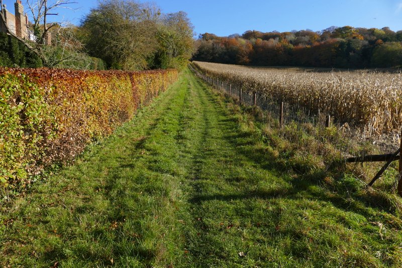
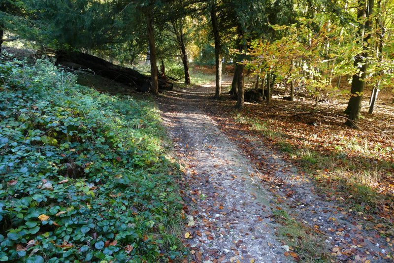
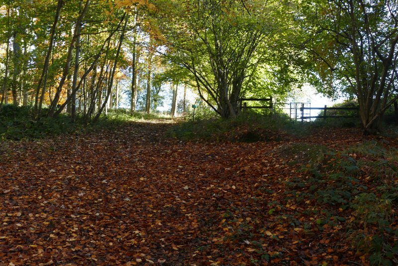
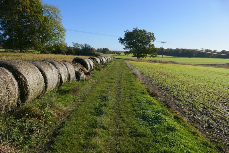
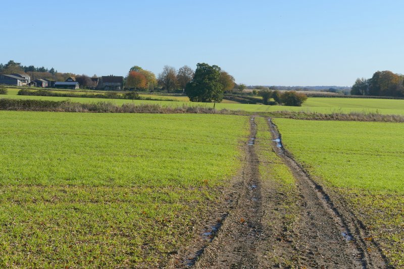
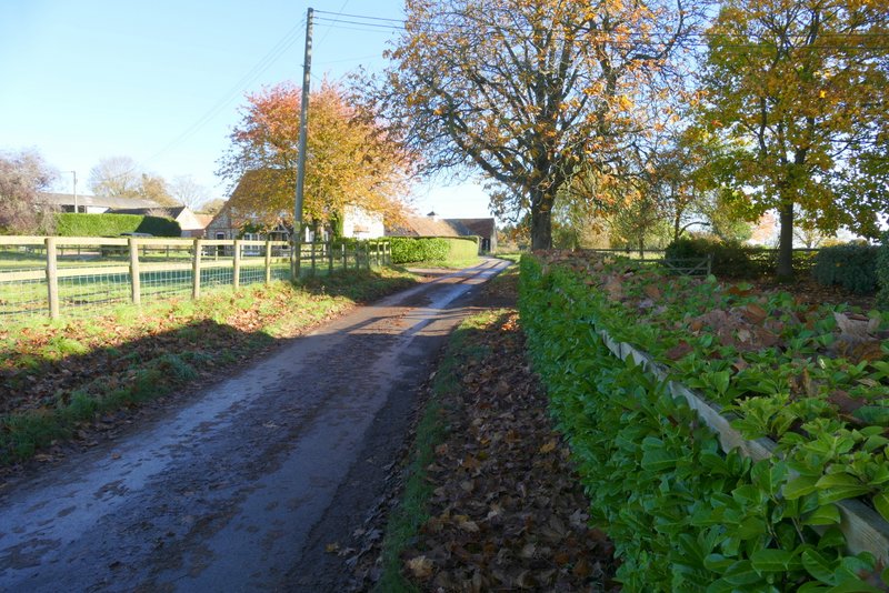
At the end of the track I turned left along a lane, following it the short distance to the hamlet of Rotten Row. Where the lane turned left, I took a path going straight on across an arable field. The path then carried on across a larger arable field to reach another lane, which ran along the edge of Heath Wood. Here I turned right and followed the lane for about a quarter of a mile before taking the SECOND footpath on the left (the first path is part of the Chiltern Way and is the way I normally go here). The path I took starts down a gravel driveway for a few yards then enters Homefield Wood on the left. After staying close to a property on the right, it turned right and then left, dropping down through the wood to a valley bottom where I turned right onto a path along a broad track. I followed the track for a quarter of a mile or so, until it ended at a lane.
The lane through Rotten Row
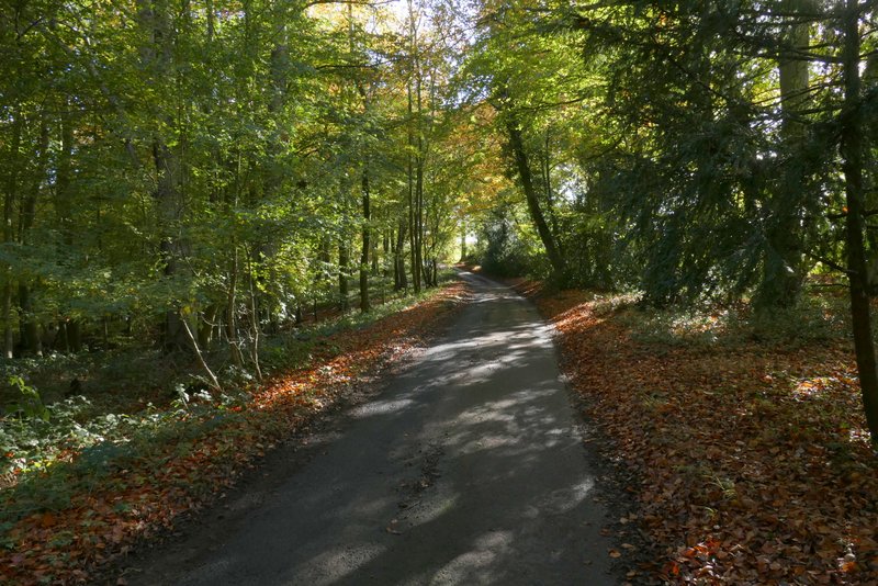
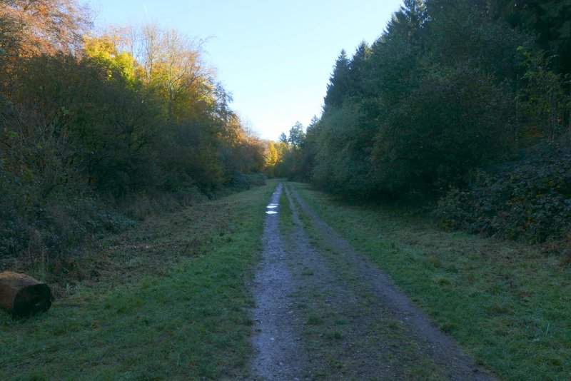
The path from Rotten Row to Heath Wood
The path from Rotten Row to Heath Wood
The lane along the edge of Heath Wood
The path descending into Homefield Wood
The path descending into Homefield Wood
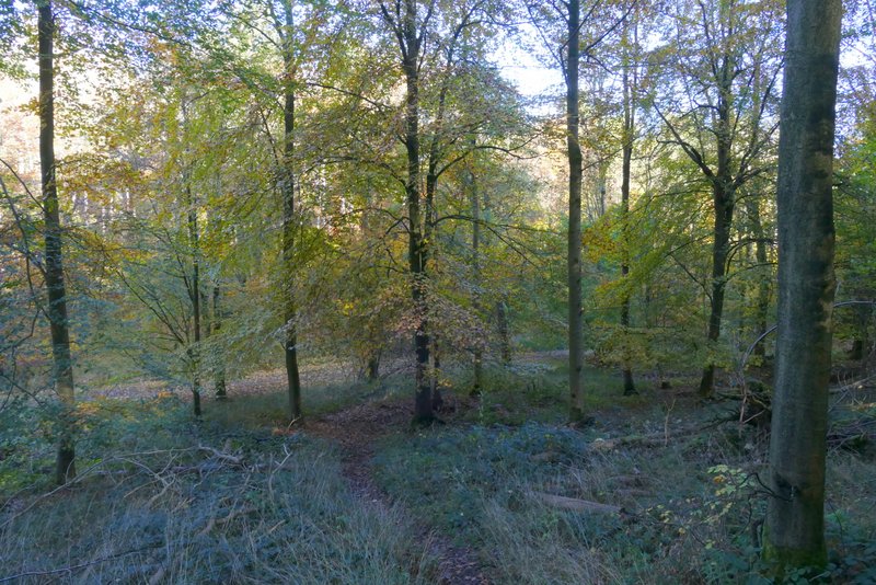
The path descending into Homefield Wood
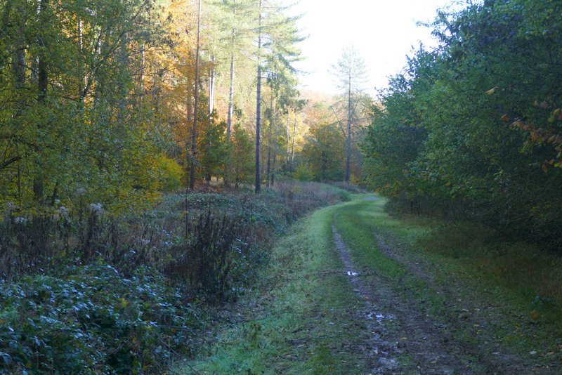
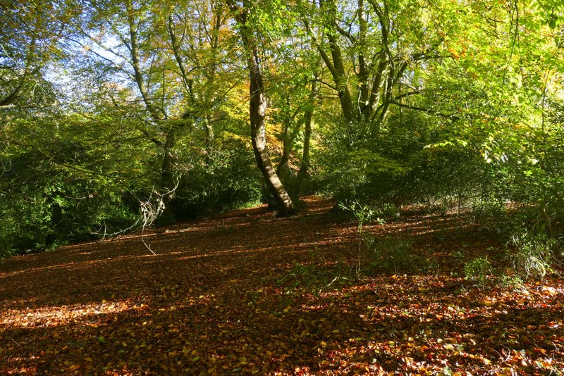
The path along the valley bottom in Homefield Wood
The path along the valley bottom in Homefield Wood