Pete's Walks - Hambleden, Marlow Common, Moorend Common (page 3 of 5)
If you are considering walking this route yourself, please see my disclaimer. You may also like to see these notes about the maps and GPX files.
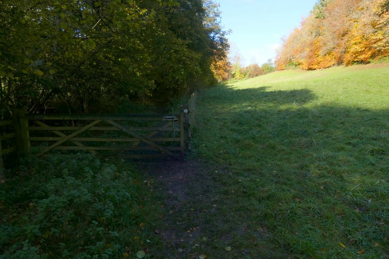
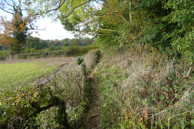
After almost half a mile the path reached a nice area of beech trees, where it went straight on where a track went right. It left the wood at a gate, going right in the steeply sloping corner of a meadow or paddock, then continuing between a fence and a tall hedgerow on my right. At a junction (near Bluey's farm, according to the OS map) I turned left and then immediately right, now on a bridleway with a line of tall conifers on my left. Shortly after this bridleway turned half-right and started uphill, I turned left onto another bridleway. This entered a meadow, crossing it and following its left edge. It went through another gate into a second meadow, and followed its left edge until it came to a gate. Through the gate it continued next to the meadow and soon entered Moor Wood
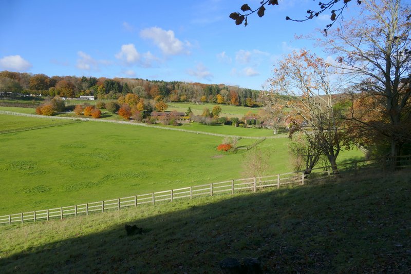
The path from Shillingridge Wood towards Bluey's Farm
The path from Shillingridge Wood towards Bluey's Farm
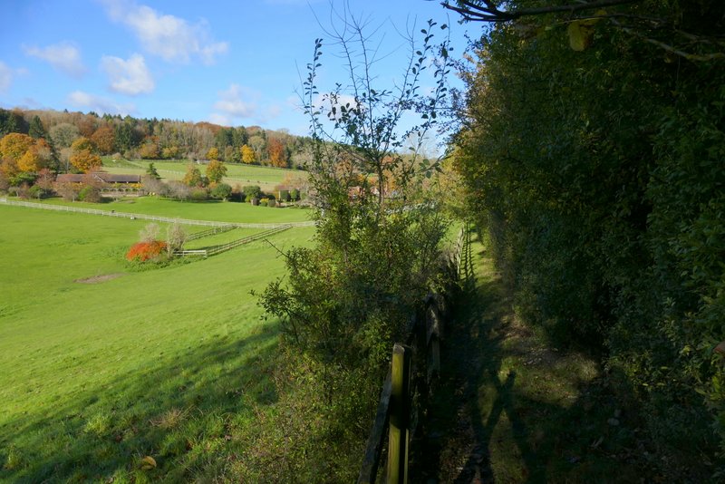
The bridleway near Bluey's Farm
The next bridleway, after going through a gate on the left
Where the bridleway goes through a gate in the second meadow
The same bridleway after going through the gate
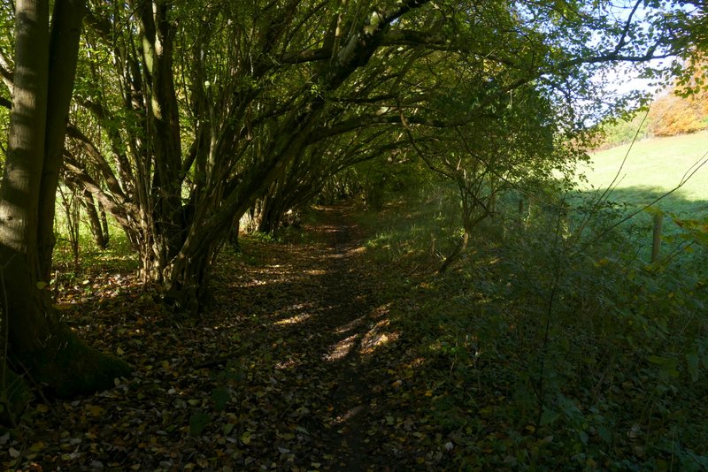
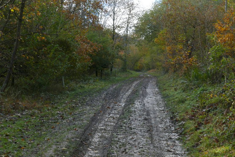
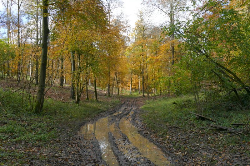
I followed the bridleway through Moor Wood for about half a mile until a footpath crossed it (I misremembered this section as being much longer, and was surprised how quickly I got here). I turned left here, the path following a track - the large puddle at the start was a clue as to how muddy this section would be. After about a third of a mile, the path left the wood and crossed part of a meadow before entering Bottom Wood and continuing through it for another quarter of a mile or so.
The bridleway continuing through Moor Wood
The bridleway continuing through Moor Wood
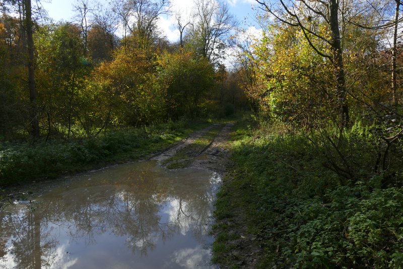
Moor Wood, immediately after I turned left along a footpath
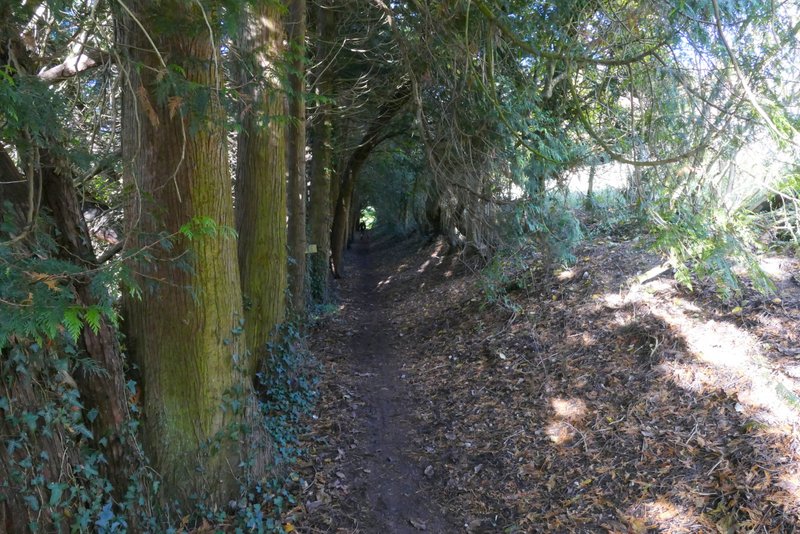
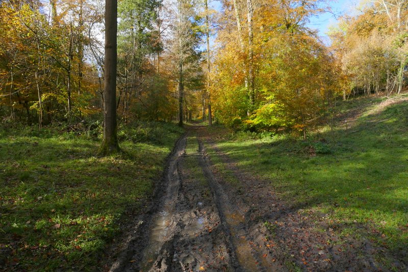
The footpath through Moor Wood
The footpath through Moor Wood
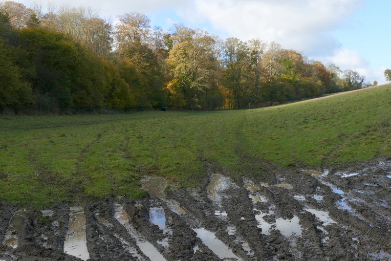
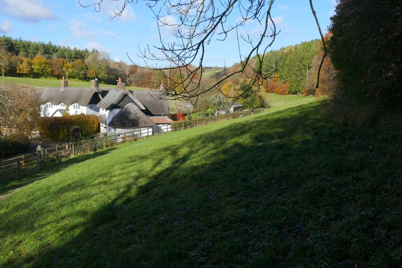
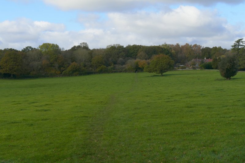
The meadow cutting between Moor Wood and Bottom Wood
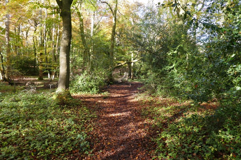
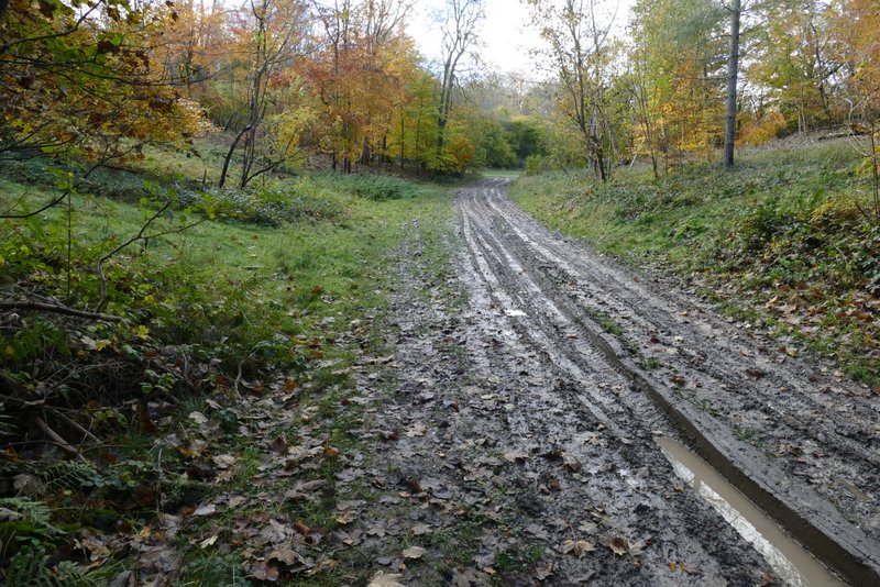
The footpath through Bottom Wood
The footpath through Bottom Wood
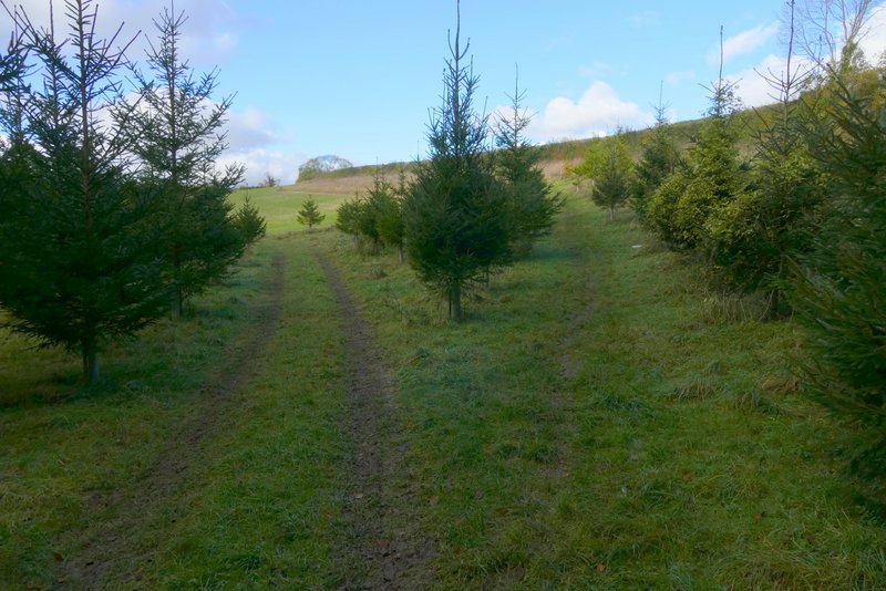
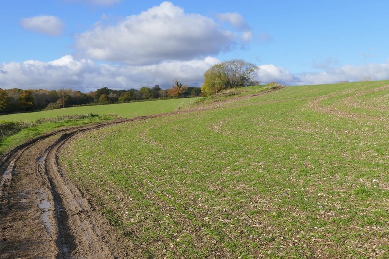
On eventually leaving Moor Wood the path went slightly right through some small conifers in the corner of a field to where wooden railings and steps took me to the other side of a hedge. The path continued alongside the hedge, then passed a spot where the OS map indicates there is a ruined chapel though there's nothing really to see. Across a track, the path continued across a large meadow to reach the wooded section of Moorend Common.
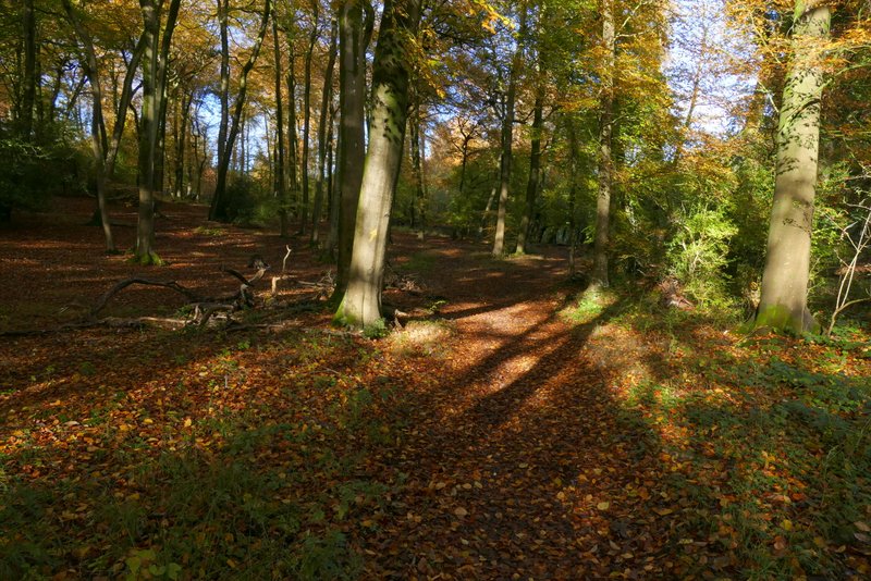
The footpath after it leaves Bottom Wood - it takes the right fork here
The footpath continuing towards Moor Common
The footpath continuing towards Moor Common, as it passes the remains of a chapel on the right (nothing really to see)
The footpath continuing towards Moor Common