Pete's Walks- Cholesbury, Great Hivings, Chartridge End (page 4 of 4)
If you are considering walking this route yourself, please see my disclaimer. You may also like to see these notes about the maps and GPX files.
After the bridleway levelled out at the top of the hill, it switched back to the right of the hedgerow. After passing a field of sheep, I soon came to a junction where a path went left through Newsets Wood. The path led through the wood and then crossed an arable field. It continued along a broad grassy track with young plantations either side (the OS map shows this as fields). The trees overlapped the first part of the path, but at such a low height that I had to continually duck under them. I was confused when I reached a crossing track on the far side of the plantation, as there was no sign of the path continuing straight on into a wood (called Widow Croft) as I'd expected. In fact I had to follow the track left and round a corner of the wood for a few yards, to where the path forked right into the wood. Beyond the wood the path then followed a hedge on the left past another arable field, and ended when it reached the drive to a property named Dundridge Manor.
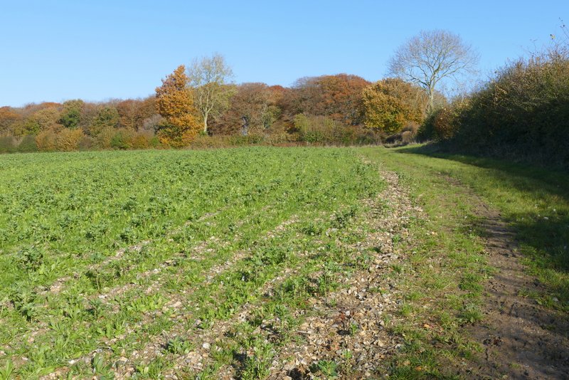
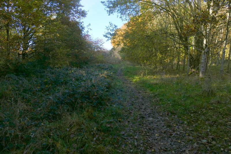
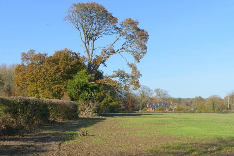
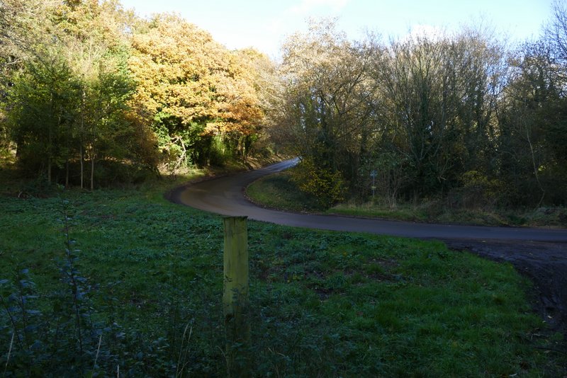
The bridleway continuing from the bend in Arrewig Lane
The bridleway continuing from the bend in Arrewig Lane
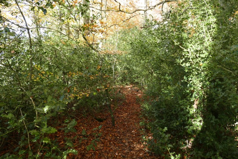
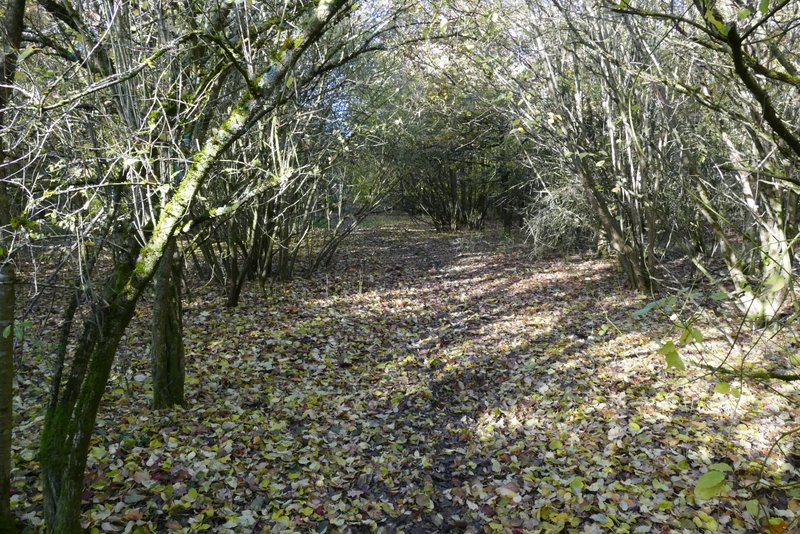
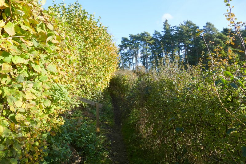
Newsets Wood
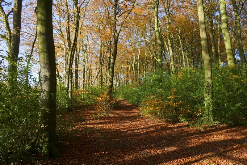
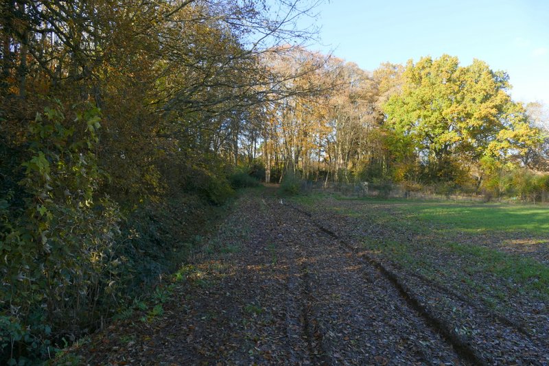
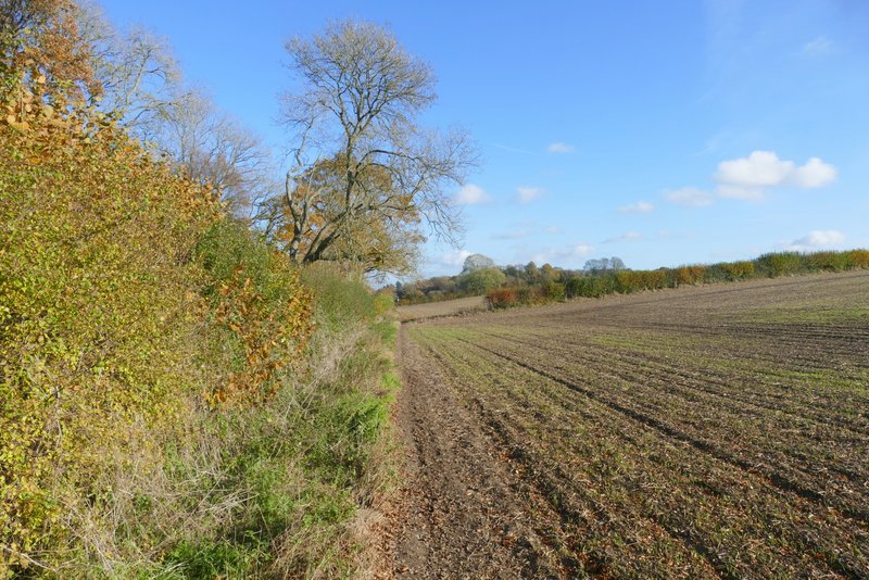
The path continuing from Newsets Wood
The path continuing from Newsets Wood
The path continuing from Newsets Wood
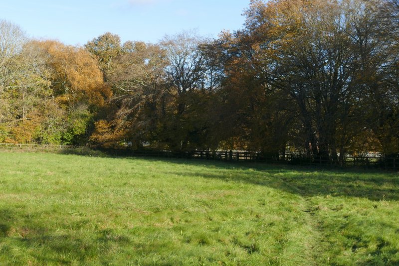
Widow Croft (that's the name of the wood)
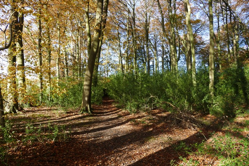
Widow Croft
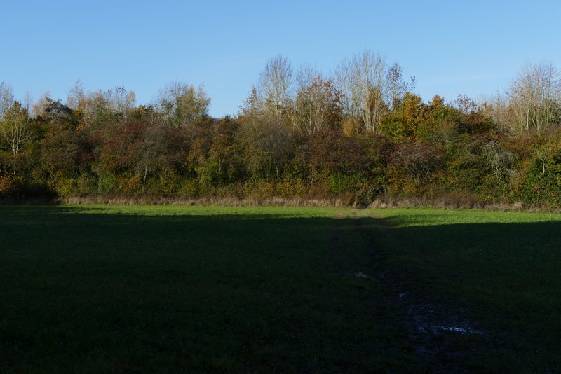
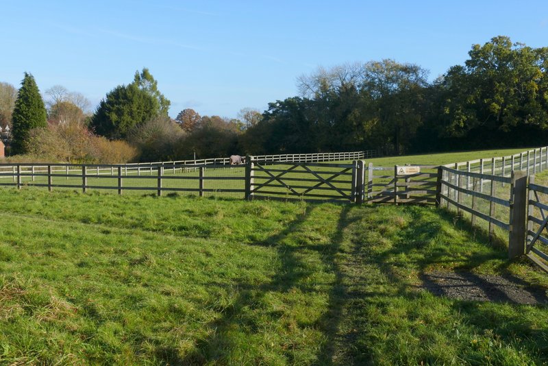
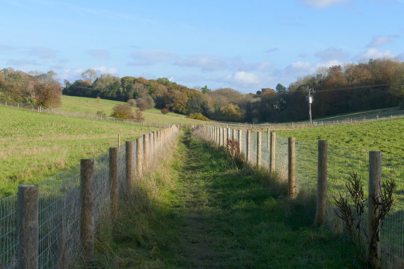
The path continuing from Widow Croft
The path continuing from Widow Croft (I think the large ditch on the left is part of the moat round Dundridge Manor - the OS map says there is a moat here
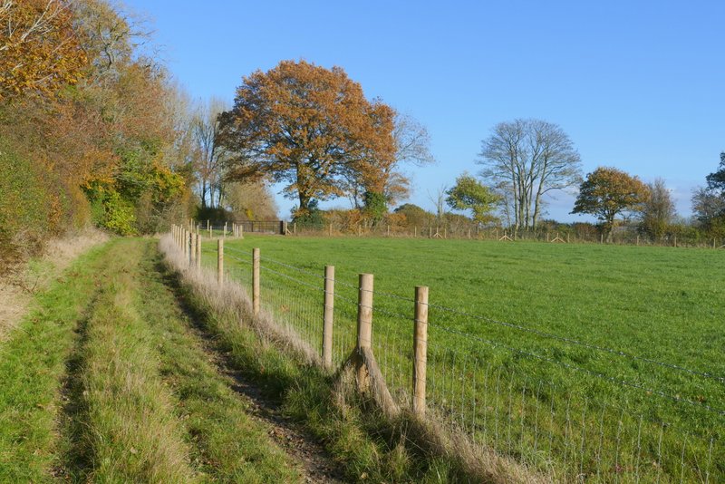
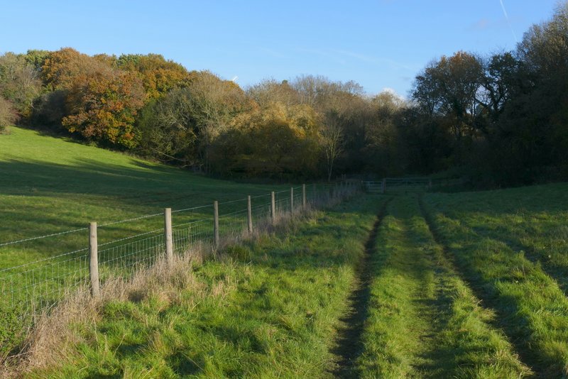
I turned right and followed the drive the short distance to its end (I should have taken the right fork, but didn't). I went a few yards right along the minor road here, then took a footpath on the other side. This went half-right across a meadow, then followed a fence on the right, before going half-left across a paddock (to a stile in a wooden fence) and continuing in the same direction to the far corner of a second paddock. The path then ran along the bottom of a valley, initially with garden boundaries on the left, for a distance of about three-quarters of a mile. When it eventually reached a road (named Ray's Hill), I turned left and followed it uphill back to Cholesbury Common (I could have taken a path starting to the left of the road in the valley bottom, but I know it can get dreadfully muddy at this time of year). I then just had to turn left and follow the edge of the common back to my car.
The start of the path back to Cholesbury
The path back to Cholesbury
The path back to Cholesbury
The path back to Cholesbury (I've walked this section many times before)
The path back to Cholesbury
The path back to Cholesbury, with the sails of Cholesbury Windmill just visible over the trees
Ray's Hill, the road back to Hawridge
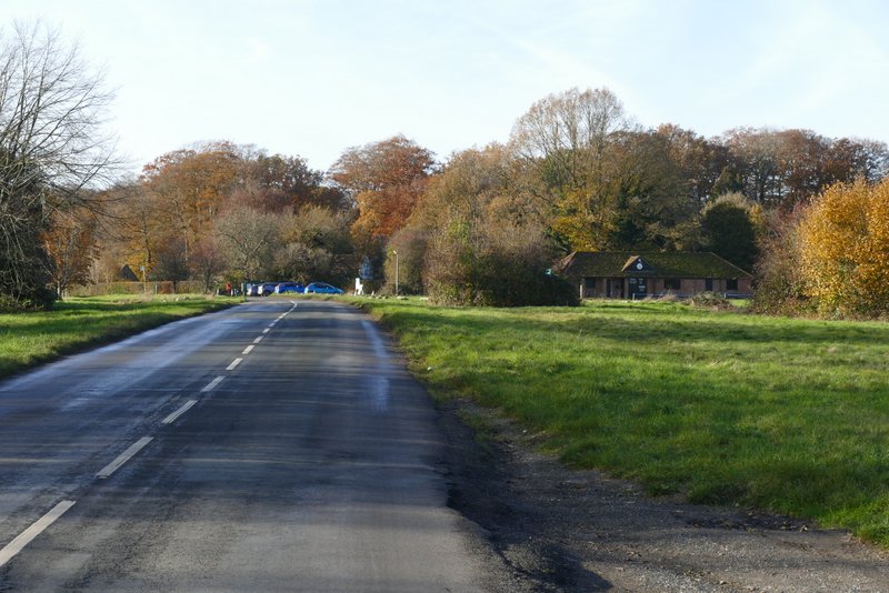
The road back to Cholesbury
I had a lovely Autumn day again on which to enjoy this walk. And it was very enjoyable, with nice views along valleys for much of the route, interspersed with occasional short woodland sections. I walk this route most years now, but it made a change for me to walk it in this clockwise direction. One reason I preferred it anti-clockwise was because I thought the views were better walking towards Captain's Wood that way, but actually they're just as good this way round, walking away from the wood. The only downside to doing it clockwise is that the majority of the uphills come towards the end of the walk, whereas I prefer to get them done nearer the start of the walk. But that's a very minor quibble, and certainly didn't affect my enjoyment of the walk today.