Pete's Walks- Cholesbury, Kingsash, Chartridge (page 1 of 5)
If you are considering walking this route yourself, please see my disclaimer. You may also like to see these notes about the maps and GPX files.
I did this (almost) circular walk of about 10.6 miles on Wednesday, 29th November 2023. It was a new route for me, linking up a few paths I'd never walked before and including the path from Kingsash to The Lee which is a favourite of mine.
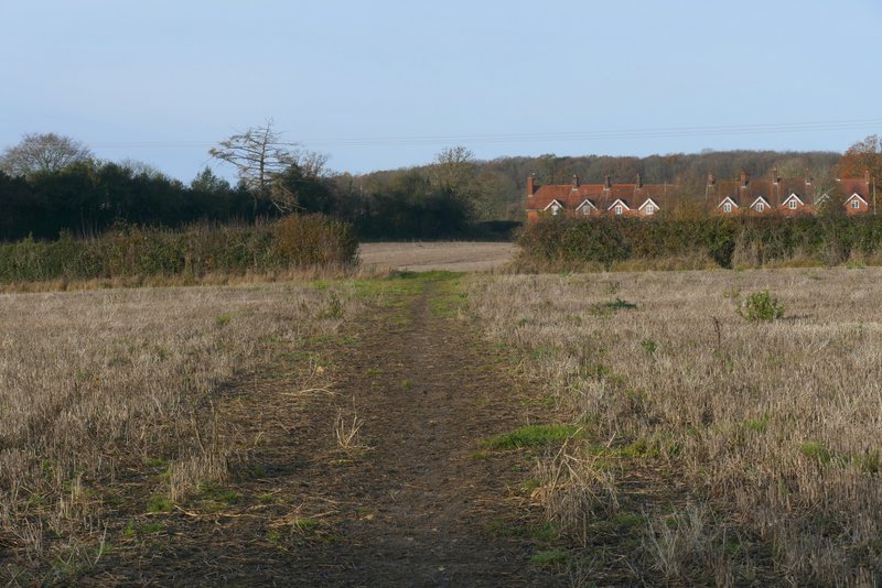
For the third time in under two weeks, I parked by the cricket ground in Cholesbury (Grid Reference SP933071). I started walking about 9:30am, heading along the road away from the cricket ground. I continued on past the village hall on my right, and across a junction where Parrott's Lane goes right. Where the road turned half-left, I took a footpath on the right, through a meadow. I'd never walked this path before, and I stupidly went wrong straight away - at a fork in the grass towards the end of the meadow I went left instead of right. I wasted 10 minutes here, only realising my mistake when I reached a road and recognised where I was. Having rectified my mistake (at least I got to walk another path I'd never walked before) and got back to the meadow, my intended path continued at a gate or stile a few yards to my left. It continued through a small meadow, crossing it to a stile in a hedge, then turned left along the edge of a small sheep pasture, before continuing between tall garden fences to reach a lane (I was confused when I saw on my map that this was Parrott's Lane again, but then I saw it actually forms two sides of a roughly equilateral triangle, hence I had to cross it twice). Across the lane, a muddy path continued through two flat arable fields to reach Little Twye Road (it looks like a lane).
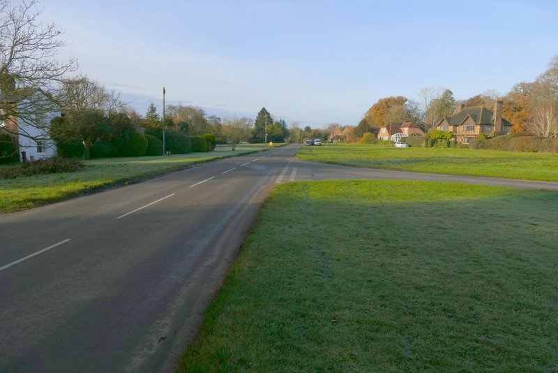
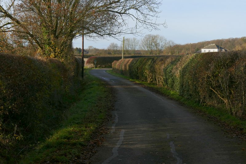
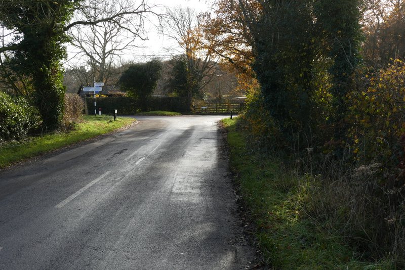
The road through Cholesbury

The road through Cholesbury - I took the footpath starting at a gate where the road goes out of view in this shot
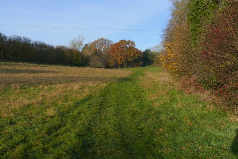
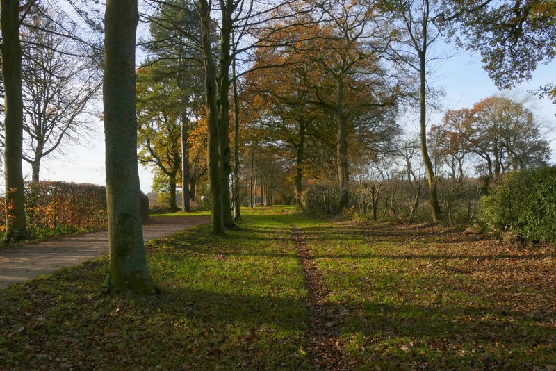
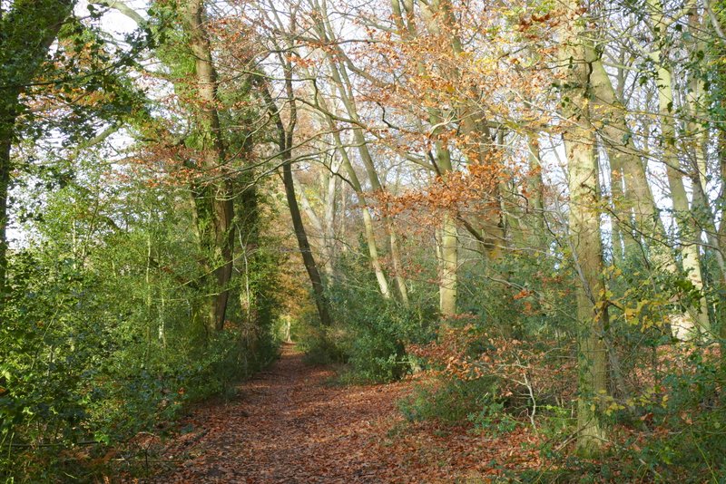
The footpath after I left the road through Cholesbury - where it forks near the end of this meadow, I needed to take the right fork
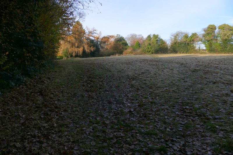
The footpath continuing through the next field - it crosses to a stile in the hedge
The footpath continuing through the next field
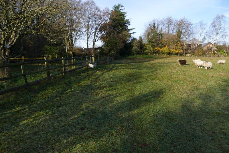
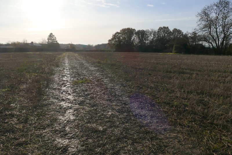
The path after crossing Parrott's Lane
Across Little Twye Road I continued down the drive to Bucklandwood Farm. After a short distance I turned left onto a footpath - I was now back on familiar territory as this path is part of the Chiltern Way (which I'd now follow for about a mile). The path crossed another flat arable field and brought me back to Little Twye Road, where I turned right to enter Buckland Common (I could obviously have turned left when I first met this lane, but I was just ticking off another section of path I'd not walked before). After a short distance two paths went off to the right very close together, and I took the second one. This crossed an empty pasture to reach Bottom Road, then went slightly uphill beside a paddock fence on my right to reach another road by the White Horse Pub. I turned left along the road, then turned right at a junction. This road soon turned left, and just a short way further on I turned right onto a bridleway along the drive to Dundridge Manor.
The drive to Bucklandwood Farm
The path after I turned left from the drive to Bucklandwood Farm (part of the Chiltern Way )
The path after I turned right from Little Twye Road (the furthest of two paths going right from almost the same point)
Approaching the road junction where I turned right
I went straight on where the drive turned left (and crossed the dry moat around Dundridge Manor). I soon met a lady coming the other way, walking her dog. She stopped and asked how far I was going, and we ended up chatting for five minutes or so. Her dog kept dropping its ball at my feet, obviously expecting me to throw it for him - the lady explained it thought everyone it met wanted to play ball with it. I threw the ball for him two or three times, then when I forgot to do so as I was deep in conversation, the dog nudged my knee to remind me! I continued down the bridleway which soon reached a wood called Ashen Grove, where it turned right along the far side (the Chiltern Way went straight on here). I hadn't walked this part of the bridleway since 2016, and when I reached Stonehill Wood on my right I was again on new territory (I didn't actually see the junction where a path goes left and goes diagonally through the wood). The bridleway carried on just inside the northern edge of the wood until I came to a lane.

The bridleway along the drive to Dundridge Manor
The bridleway continuing from Dundridge Manor
The bridleway continuing from Dundridge Manor
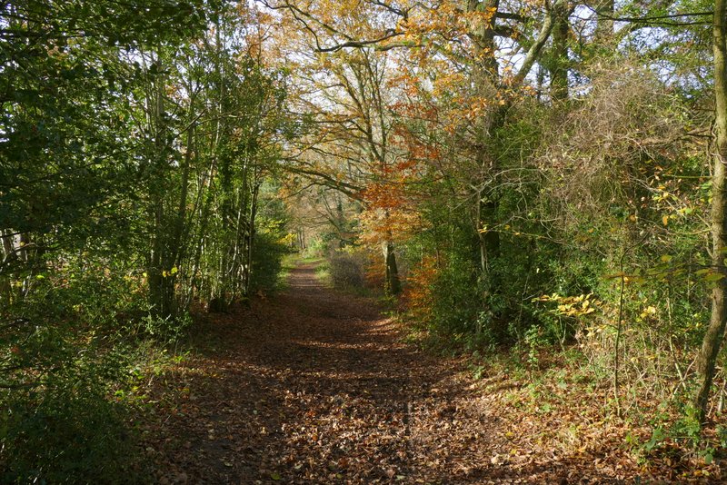
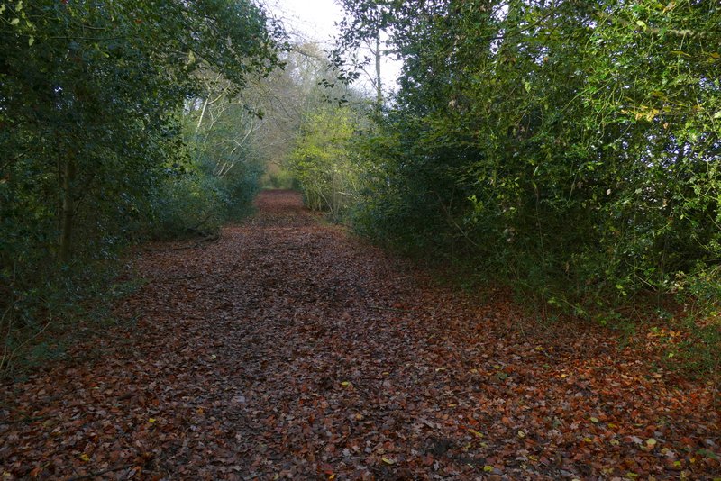
The bridleway continuing from Dundridge Manor, after turning left through Ashen Grove
The bridleway continuing through Ashen Grove
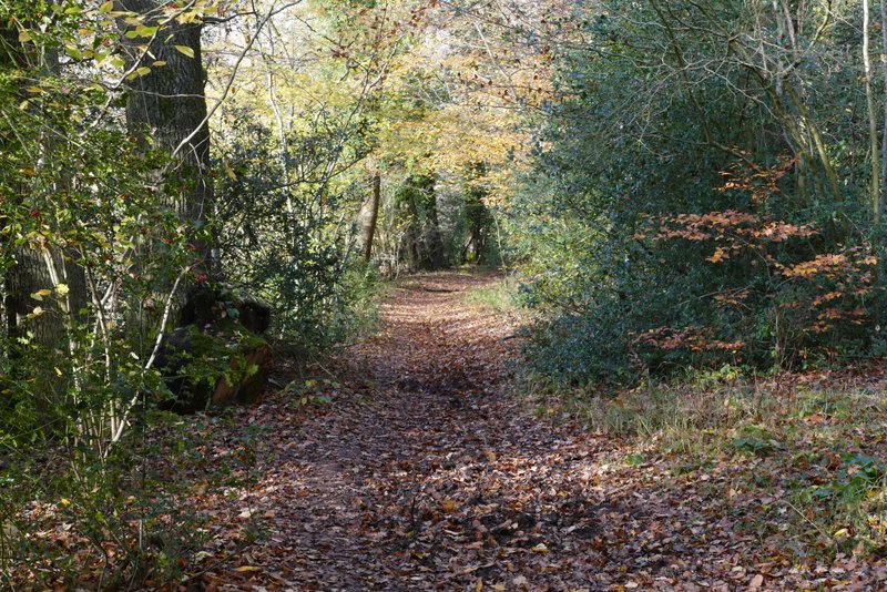
The bridleway continuing through Stonehill Wood
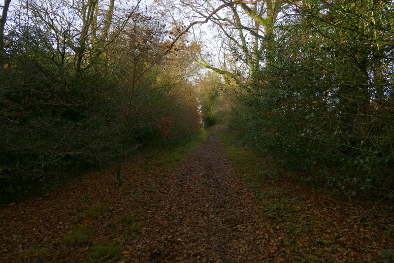
The bridleway continuing through Stonehill Wood