Pete's Walks- Pitstone Hill, Cow Roast, Aldbury (page 4 of 4)
If you are considering walking this route yourself, please see my disclaimer. You may also like to see these notes about the maps and GPX files.
At the foot of the slope, the bridleway left the woods and continued onwards between hedges. Shortly after the hedge on the right ended, I turned right on a path that crossed a ploughed field. Through a hedge gap, the path went half-left across another ploughed field, to reach the drive to Duncombe Farm. I went left along the drive for one or two hundred yards, then took a path on the right that started along a track. After going through a gate at the end of the track, the path went half-left and then curved right as it rose up the slopes of Clipper Down. This was a very pleasant path, with views to my left towards Aldbury Nowers and Pitstone Hill, and looking back towards Aldbury.
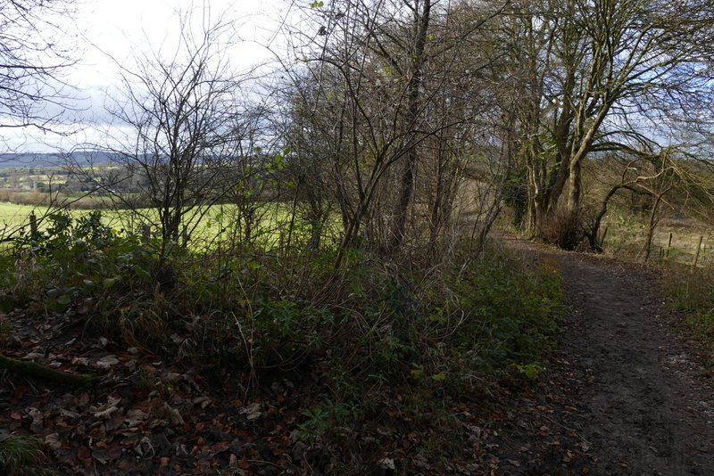
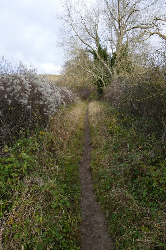
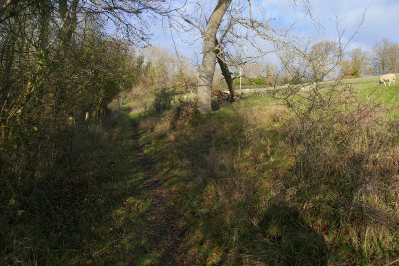
The bridleway continuing at the foot of the slope
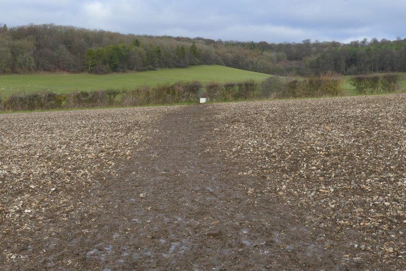
The path crossing the first field
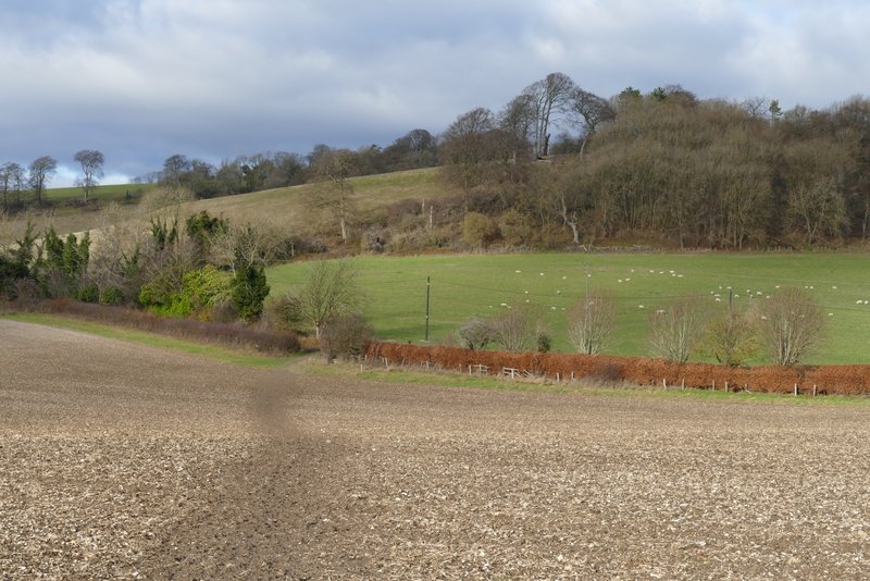
The path crossing the next field, to reach the drive to Duncombe Farm
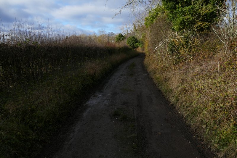
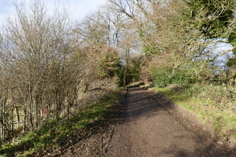
The drive from Duncombe Farm
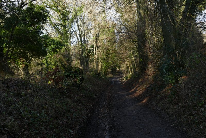
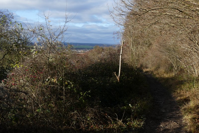
The footpath starting from a little way along the drive from Duncombe Farm
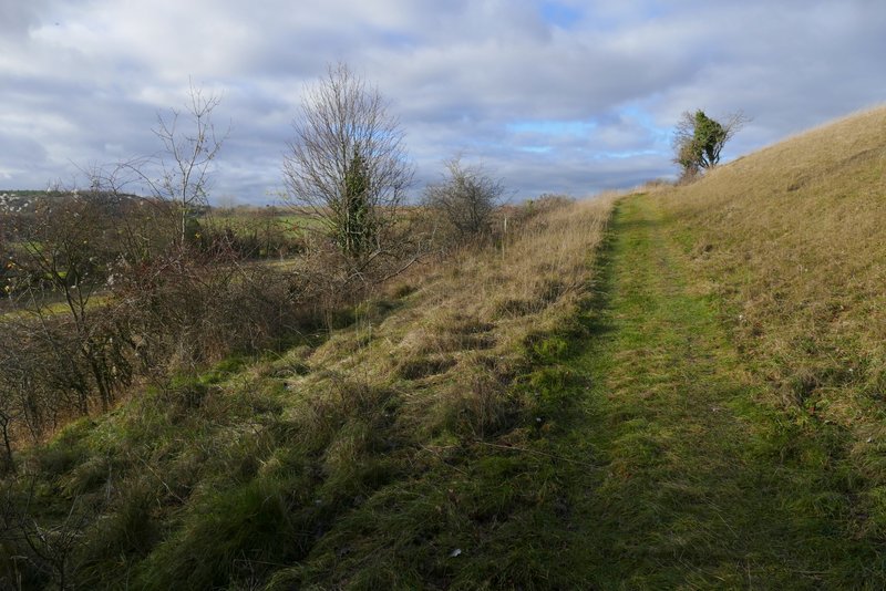
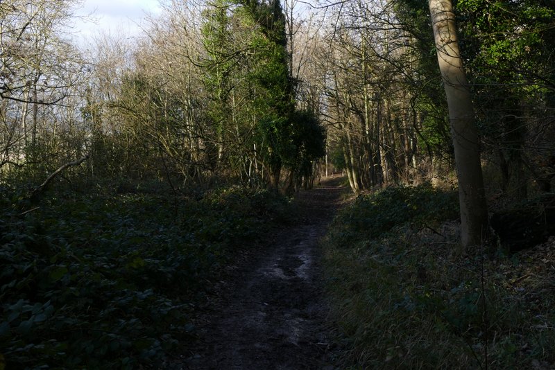
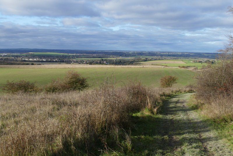
The path up Clipper Down
The path up Clipper Down
The path up Clipper Down
The path up Clipper Down
At the top of the hill, the path brought me to the main track from the Bridgewater Monument to Ivinghoe Beacon (the kennels on Clipper Down were just to my right). I turned left and followed it for maybe a quarter of a mile until a path forked left and dropped downhill. After going over a stile I left the woods of Ashridge, as the path continued through bushes and went slightly right. When it levelled off, it followed a fence on my left to reach a path crossroads at the foot of the Steps Hill, where I turned left and followed another section of the Ridgeway back to the Pitstone Hill Car Park.
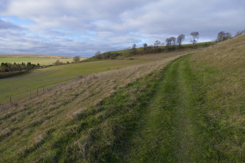
The track from the Bridgewater Monument to Ivinghoe Beacon, at Clipper Down
The track from the Bridgewater Monument to Ivinghoe Beacon
The path after I forked left from the track from the Monument
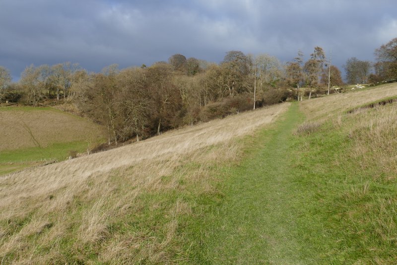
The path continuing towards the foot of Steps Hill
The path continuing towards the foot of Steps Hill
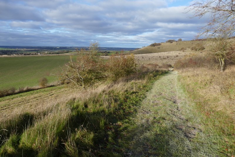
The path continuing towards the foot of Steps Hill
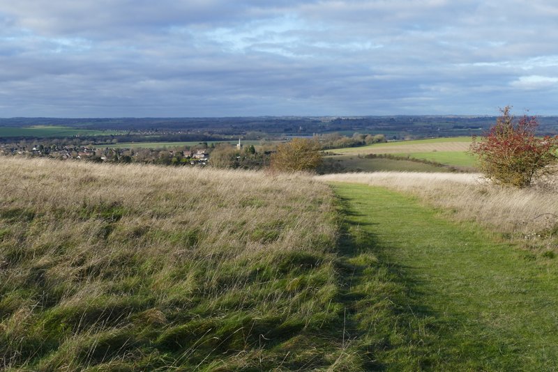
View ahead to the vale of Aylesbury, from the path crossroads where I turned left
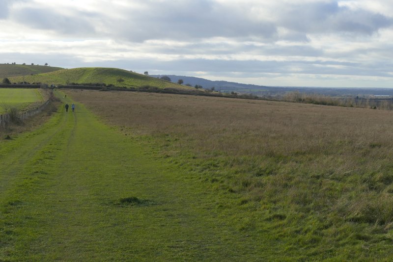
Back on the Ridgeway, heading towards the Pitstone Hill car park
This 8.9 mile local route suited my purposes today, as I had something to do in the afternoon. I really enjoyed it, despite some of the paths being muddy - the last part of the path into Aldbury was worst bit, with a lot of standing water. I was pleased with many of the photos I took today, the light was really good for photography (when I wasn't facing straight into the sun). I'd be quite happy to do this walk again sometime - I should try it in the opposite (clockwise) direction, as there are some paths near Aldbury that I've not yet walked in that direction.