Pete's Walks - Wigginton and Wendover Woods (page 3 of 4)
The path eventually levelled out, and I followed it straight on for several hundred yards. There were many other people about now, as I gradually drew nearer to the visitor centre in Wendover Woods.
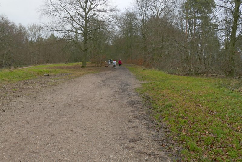
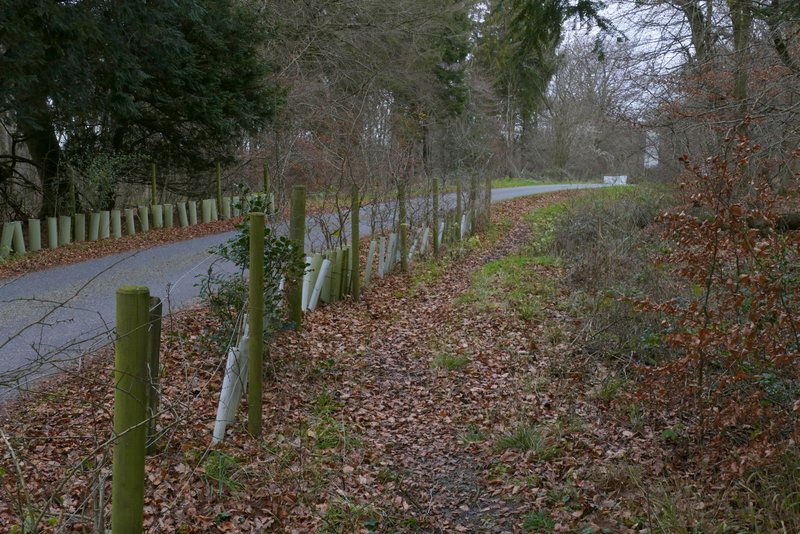
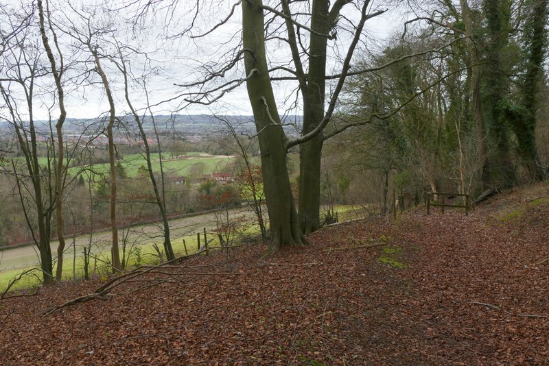
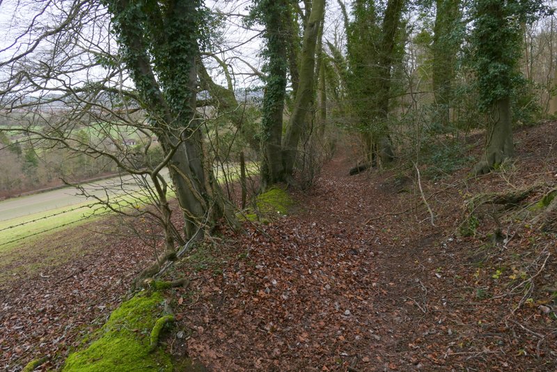
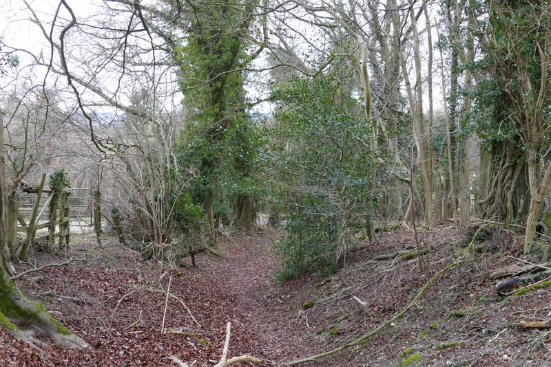
The path continuing from Boddington Hill to the visitor centre at Wendover Woods
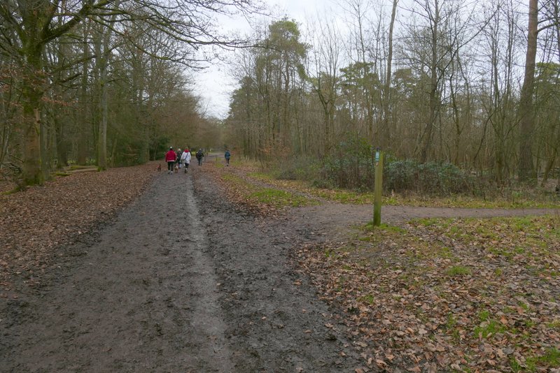
The path continuing from Boddington Hill to the visitor centre at Wendover Woods
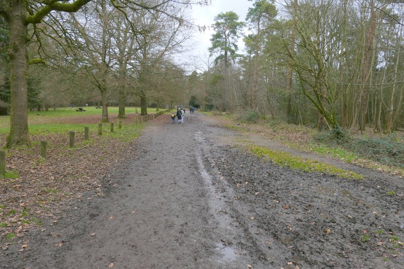
The path continuing from Boddington Hill to the visitor centre at Wendover Woods
On reaching the car park at the visitor centre, I followed the signs on the ground saying 'Exit' around the left of the car park, but then turned left at a crossroads. I followed this drive, walking against the flow of traffic, for about a quarter of a mile, when a broad path started at a slight bend to the left. After a few hundred yards I made a mistake, by taking a path going through a pedestrian gate on the right, and going diagonally across the top of Aston Hill, passing a trig point - to stay on my Chiltern Chain Walk route I should have just continued straight on. But both paths ended at the same point, a minor road close to the top of Aston Hill.
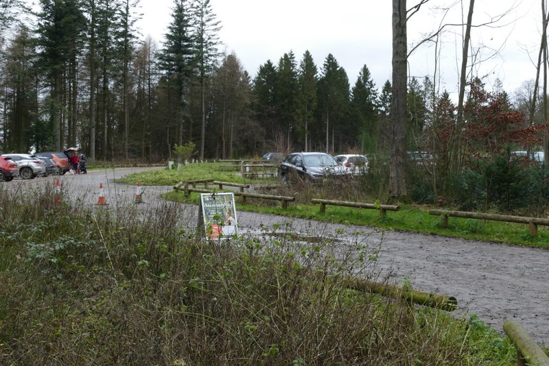
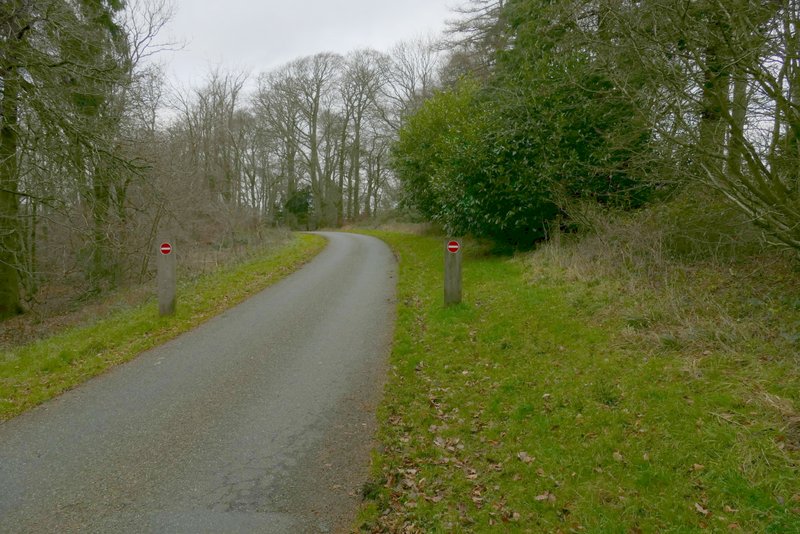
Where I turned left into the car park at the Wendover Woods visitor centre
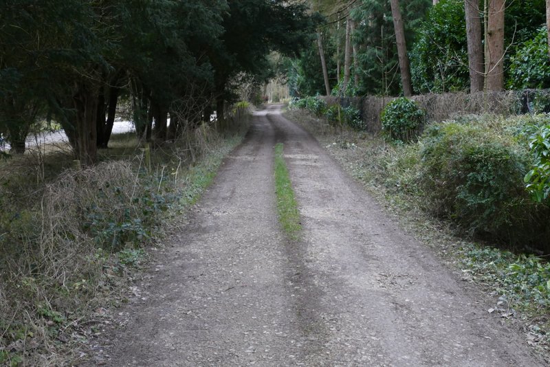
The drive from the visitor centre
The drive from the visitor centre
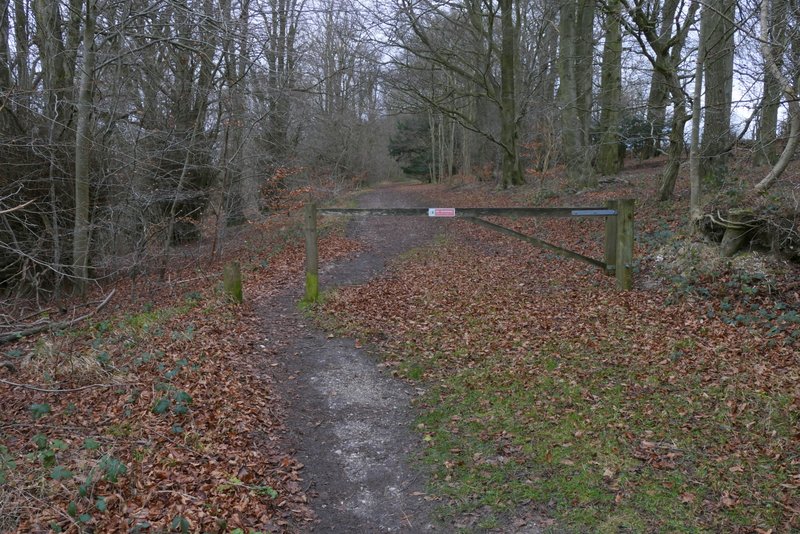
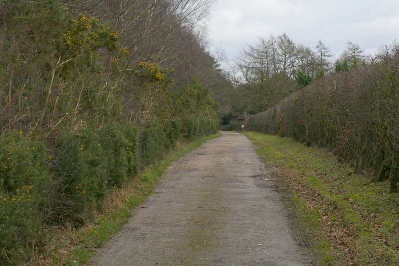
The path to Aston Hill
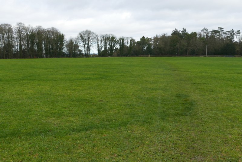
The path across the top of Aston Hill (I shouldn't have gone this way)
Over the road and just to the left, I set off down a track (the Mountain Biking centre that used to be behind the fence on my left is now closed). The track led towards Aston Hill Farm (that's the name on the OS map, but I think I saw a sign giving a different name), from where it continued beside a wooden fence on the right. Soon the path was dropping downhill through woods, and a little further on there was a field on my left - occasionally I could see out towards the Vale Of Aylesbury or to Ivinghoe Beacon.
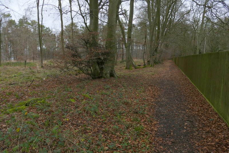
The path to Aston Hill Farm
The path to Aston Hill Farm
The path continuing past Aston Hill Farm
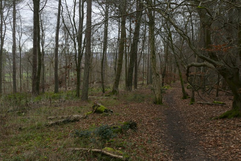
The path descending Aston Hill
The path descending Aston Hill
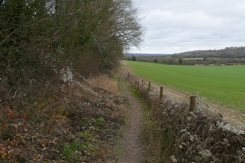
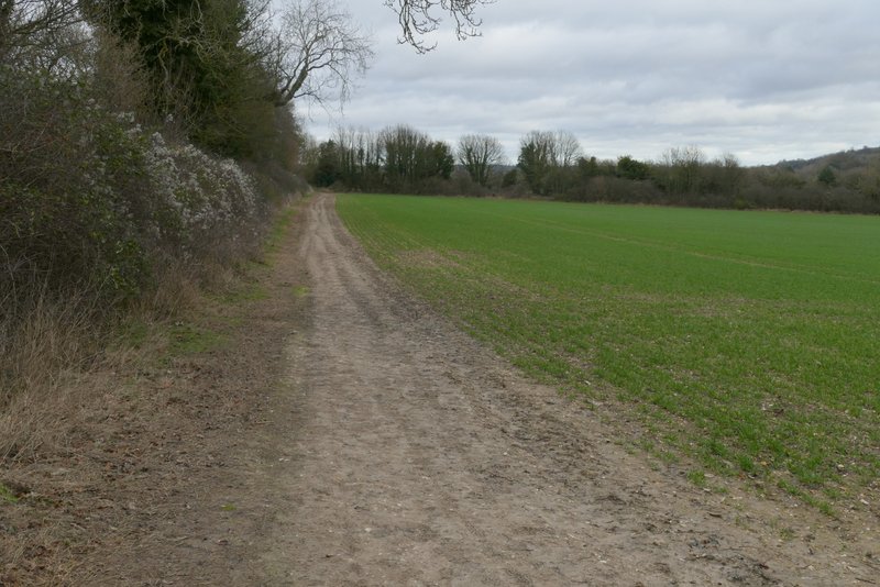
At the bottom of the hill I turned right along Dancers End Lane, but after a hundred yards or so I turned left onto a footpath. This was soon running along the edge of a large arable field on my right, with views over it to the wooded slopes below Hastoe, where I was now headed. I continued through the next, much smaller, arable field, then turned right along a hedge-lined track (a byway named Fox Lane on the OS map).
The path descending Aston Hill
The path descending Aston Hill, approaching Dancers End Lane
The path from Dancers End Lane
The path from Dancers End Lane

Fox Lane