Pete's Walks- Amersham Old Town and Knotty Green (page 4 of 4)
If you are considering walking this route yourself, please see my disclaimer. You may also like to see these notes about the maps and GPX files.
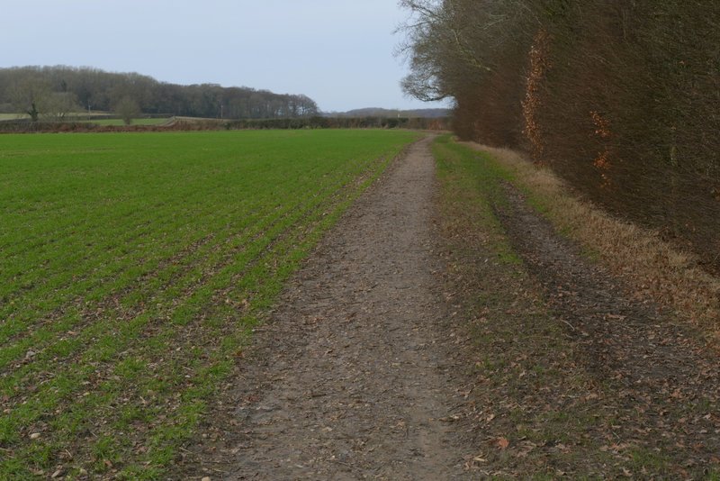
The path then turned left along another side of the paddock and then continued through a stable yard before re-entering Hodgemoor Woods, heading north again with the edge of the wood close by on my right. I continued on through the wood for about half a mile, the footpath becoming a bridleway at some point. The OS map shows a couple of places where the path or bridleway splits only to come back together further on - I didn't really notice these, I generally just stuck to the path closest to the edge of the wood. Eventually I reached a lane, Botterells Lane.
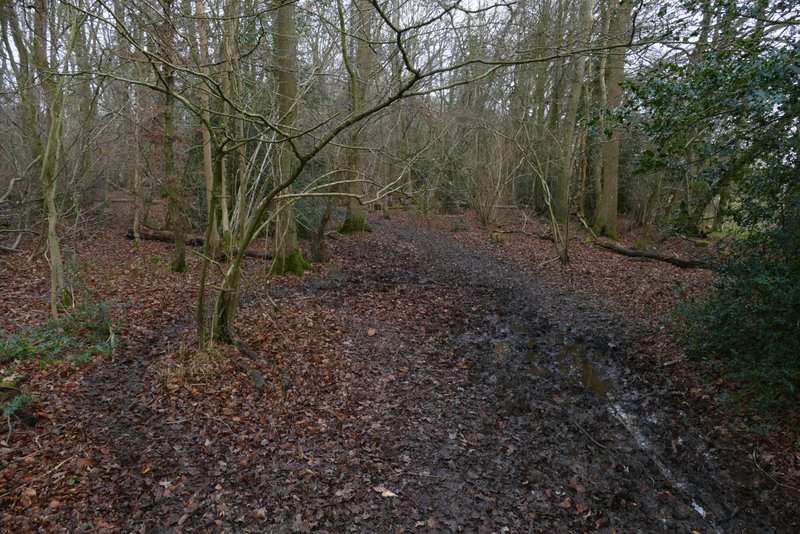
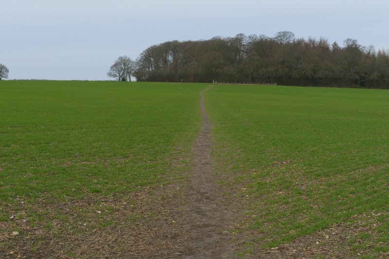
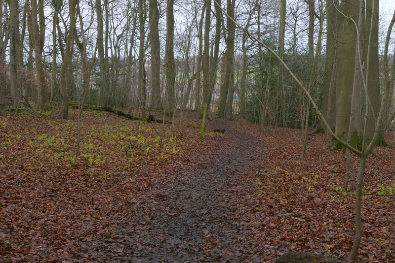
The second path north or northeast through Hodgemoor Woods
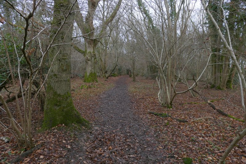
The second path north or northeast through Hodgemoor Woods
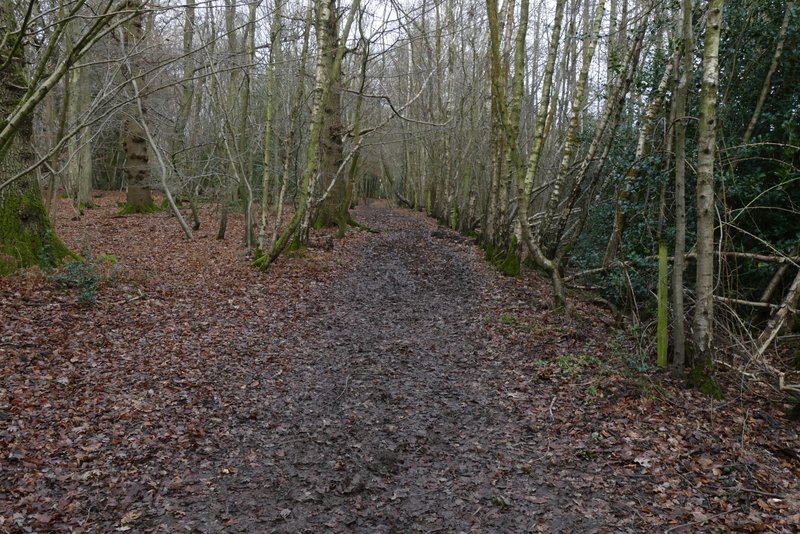
The second path north or northeast through Hodgemoor Woods
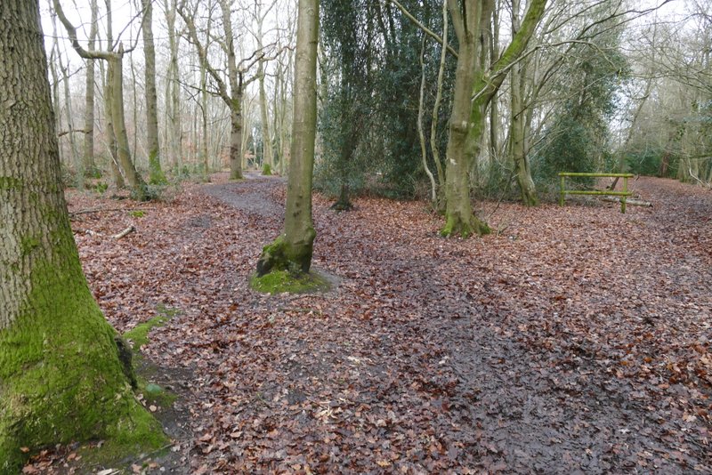
The second path north or northeast through Hodgemoor Woods
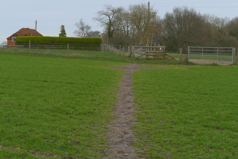
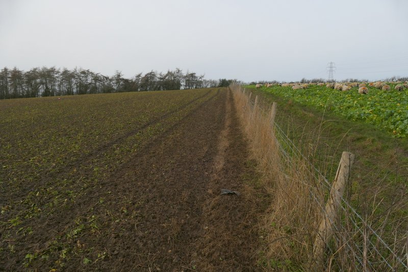
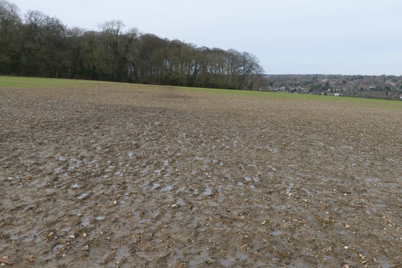
Across the lane a footpath continued across a meadow to a gate (this was the muddiest part of the whole route), continuing straight on along a farm track. This was soon heading slowly downhill, the gradient steepening slightly after the track turned slightly left - there was now a pleasant view on my right, towards part of the Misbourne Valley. In the valley bottom I reached the stables at Upper Bottom House Farm, where I turned right for a few yards along Bottom House Farm Lane before turning right to follow a footpath through the farmyard. Through an open gate I turned left and then right in a field corner, then followed the path uphill along the edge of a field. At the top of the slope I had to wait a few minutes as a farmer was moving his sheep between fields. I then followed a fence to reach a crossing hedgerow, where I went a few yards right to a stile.
The path on the other side of Botterells Lane
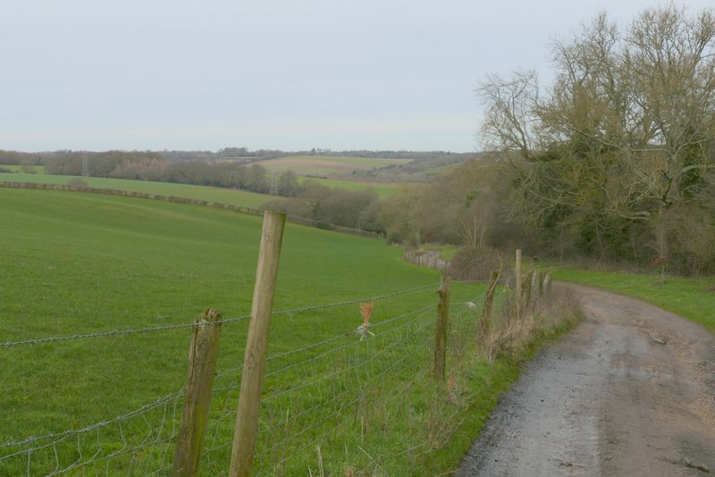
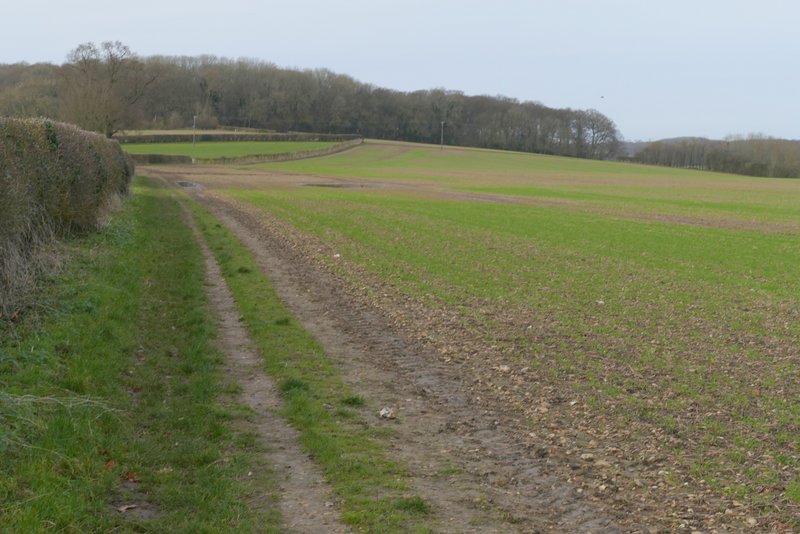
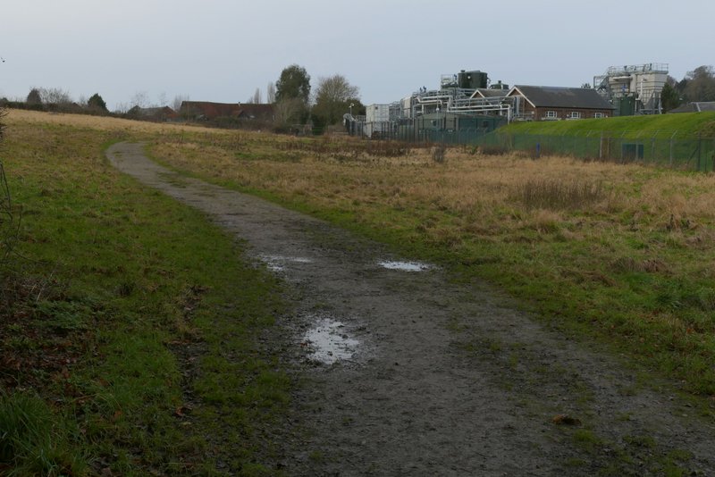
The track to Upper Bottom House Farm
The track to Upper Bottom House Farm
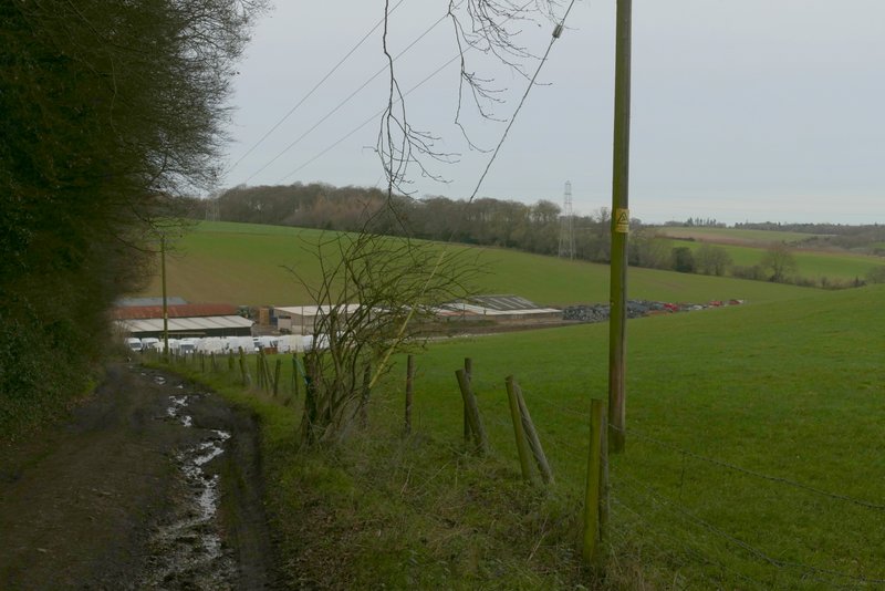
The path from Upper Bottom House Farm
The path from Upper Bottom House Farm
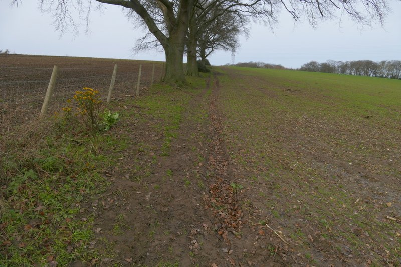
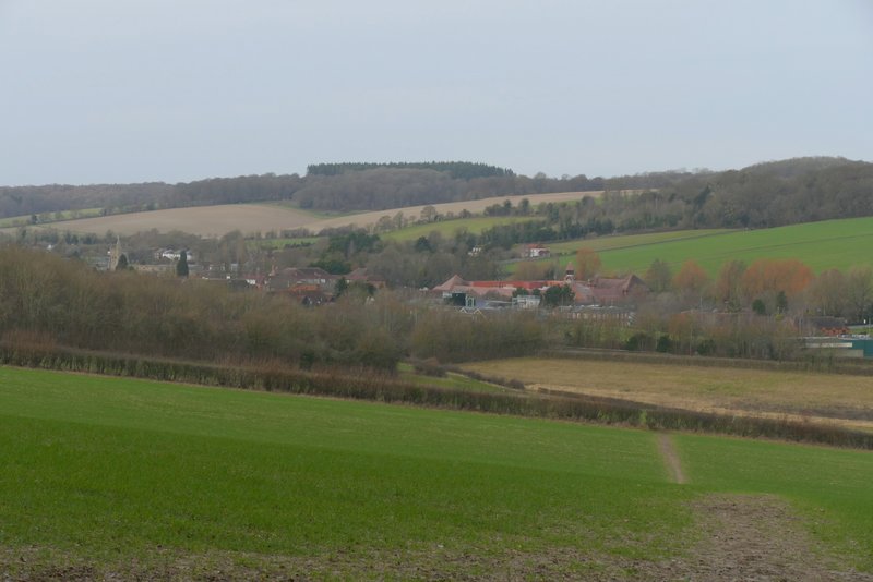
Beyond the stile, the path continued across a field, heading towards Day's Wood. It then turned left alongside the wood, and then continued beside a hedgerow. In the field corner, the path switched to the right of the hedgerow. The very large field on my right was now sloping down into the Misbourne Valley, and I could see parts of Amersham and Little Chalfont on top of the opposite slope. When the hedge turned left, I continued straight on to reach Rodger's Wood
The path from Upper Bottom House Farm, approaching Day's Wood
The path from Upper Bottom House Farm, beside Day's Wood
The path from Upper Bottom House Farm, heading towards Rodger's Wood
Approaching Rodger's Wood
The path continued through a corner of Rodger's Wood, then carried on downhill through a couple of fields. There was a nice view ahead towards Amersham Old Town here. In the valley bottom I turned left along a track. This soon went under the A413 and continued on to join a gravel drive past a cottage in Old Amersham. It was then just a matter of turning left to follow the road through the town back to the car park.
Rodger's Wood
The path from Rodger's Wood, heading to Amersham Old Town
The path back to Amersham Old Town, after going under the bridge
In January 2016 I described this as "a pleasant enough walk, but not really one of the best I've done. It's hard really to judge it, though, as the paths were all dreadfully muddy today ... I'm sure I'd have formed a higher opinion of the route if I'd walked it on a sunny summer day!". Having walked it again in very muddy conditions, it's not surprising that I still feel the same way about it.