Pete's Walks - Gaddesden Row and Piccotts End (page 2 of 6)
If you are considering walking this route yourself, please see my disclaimer. You may also like to see these notes about the maps and GPX files.
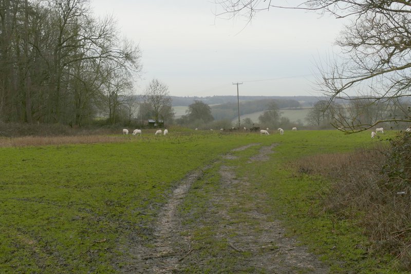
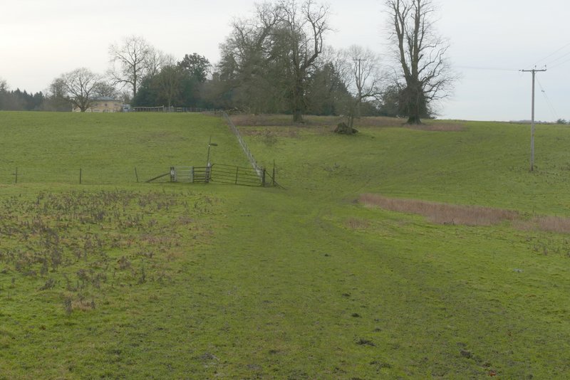
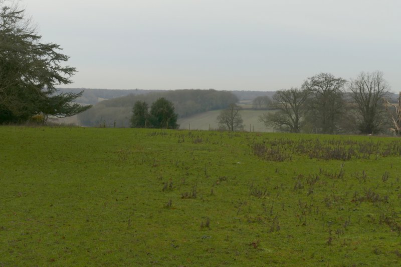
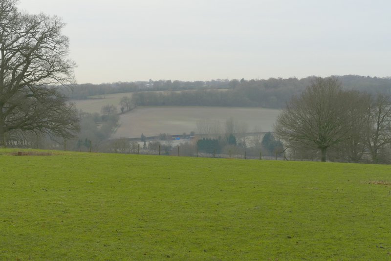
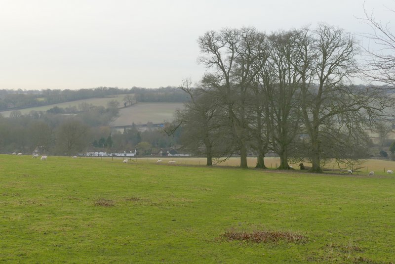
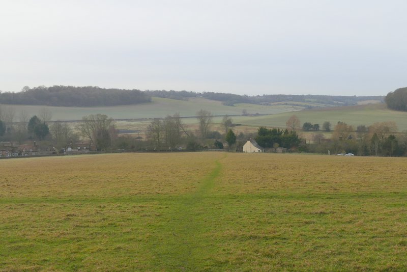
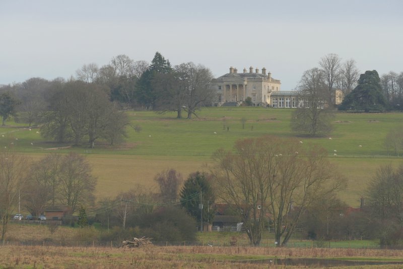
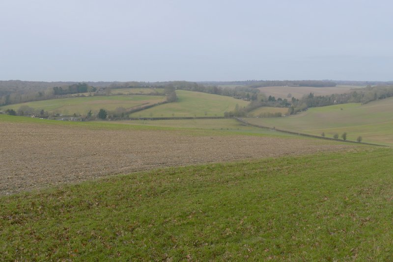
The path left the wood at a gate, where I continued straight on into a large irregularly shaped field, with a view ahead of me over the Gade Valley around Great Gaddesden. At a telephone pole the path went left, almost parallel to a line of such poles but then going further left to the corner of another field - all the time there were fine views over the valley and especially down to Great Gaddesden. The path followed the right edge of this next field (with the large house of Gaddesden Place coming into view ahead as I rose up a slight slope) as far as a gate (in the fence on my right). I turned half-right at the path junction here, re-entering the previous large field, and headed across a corner to a gate in another wire fence. The path continued in roughly the same direction across another field, with sheep in, to a gate in another fence. In the next field (another large sheep pasture) the path aimed for a small group of trees, just beyond which it went through another gate in another fence. It then continued steadily downhill, to join the road through Water End via two gates just in front of a cottage garden (I had to be careful, the second gate is right on the road with tall hedges blocking the view).
The path just after leaving Marsh Wood
Further along the path (it gos to a gate in the corner of the green field on the left)
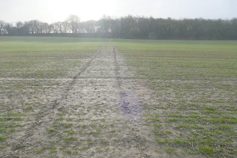
Further along the path

View towards Great Gaddesden, in the Gade Valley
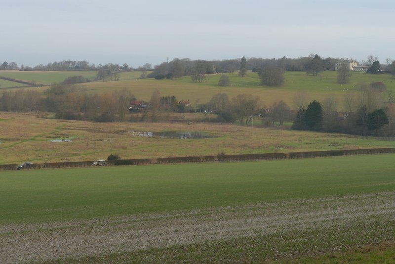
View along the Gade Valley
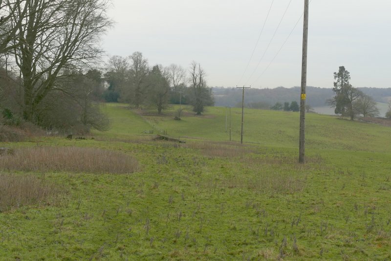
The path continuing to Water End, after I turned half-right near Gaddesden Place
The path continuing to Water End
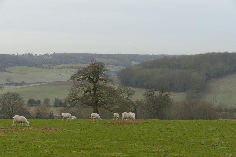
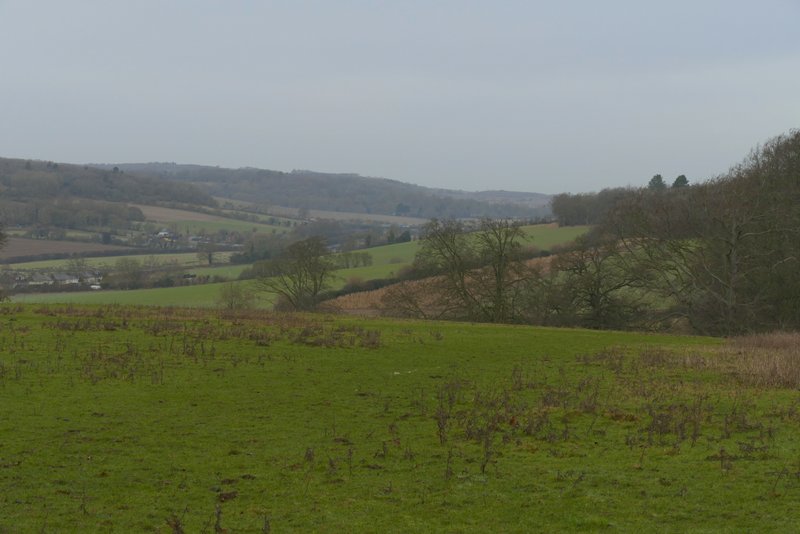
View across the Gade Valley, to a side valley heading towards Nttleden
The path continuing to Water End
The path descending to Water End (it goes through two gates just left of the cottage whose gable-end can be seen in the photo)
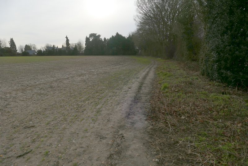
Safely across the road (rather nasty crossing) I went a few yards to the right and then took a path that went down an alley between houses and through a gate into a water meadow. I followed a path close to the boundary on the right here, to reach a footbridge over the river Gade (where I met five walkers coming the other way, , who kindly let me cross the bridge before they did). On the other side of the bridge I turned left, the path gradually moving further away from the river and heading towards a telephone pole. From there it continued to the fence along the other side of the water meadow, and then followed the edge of the water meadow for several hundred yards to reach a gate in the far corner. Here I went a short way right along Nettleden Road, before taking a path on the left that rose gently uphill across a field to reach Heizdin's Wood.

Approaching the bridge in the water meadow at Water End (apart from the five walkers here, I only saw one other walker throughout the walk)
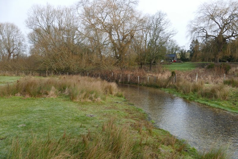
The river Gade
The path through the water meadow
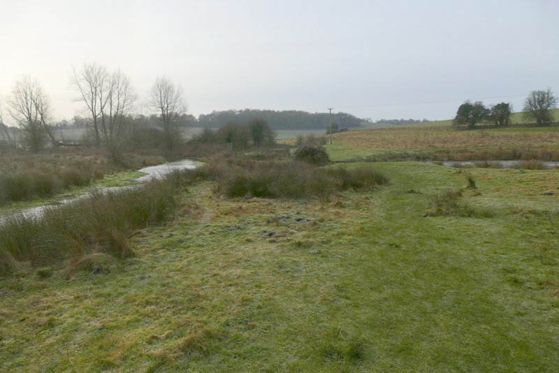
The path continuing along the edge of the water meadow
View back to Gaddesden Place from near the end of the water meadow
The footpath going left from Nettleden Road, going to Heizdin's Wood
View back over the water meadow to Water End, from the edge of Heizdin's Wood
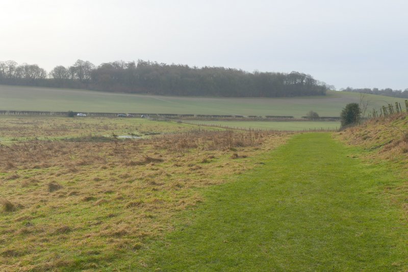
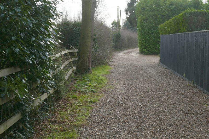
The path turned half-right and continued gently uphill through the wood (another path went right at one point). On leaving the wood the path turned right, crossing a large field towards a couple of trees - there was now a nice view on my right towards Nettlebed, a favourite view of mine since I first walked the Chiltern Way in 2005. From the trees the path continued to a waymark post at the end of a hedge, turning left along the near side of the hedge and then following a gravel driveway to reach a road at Potten End.
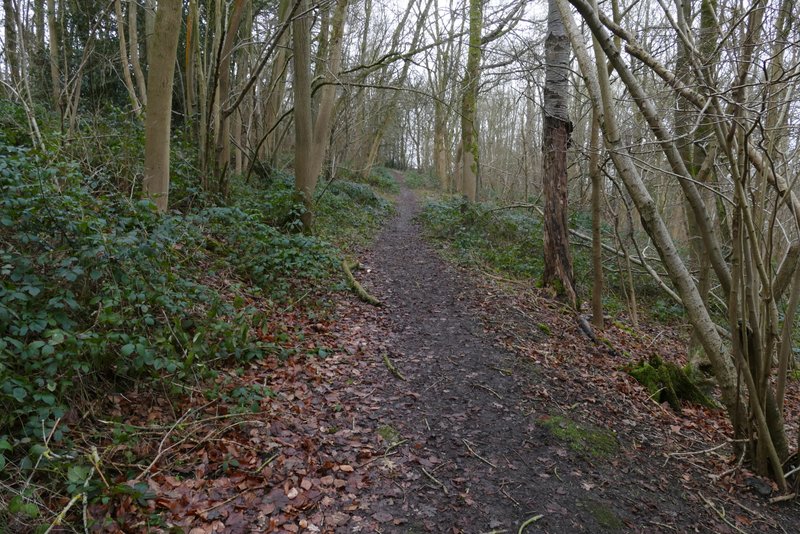
The path continuing through Heizdin's Wood
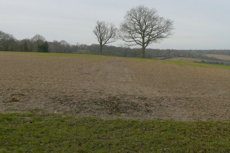
The path continues past these two trees to a waymark post, where it turns left along the near side of the hedge
View right, towards Nettlebed
The path continuing to the road in Potten End
The path continuing to the road in Potten End