Pete's Walks - Bledlow Ridge, Stokenchurch, Sprig's Alley (page 5 of 5)
If you are considering walking this route yourself, please see my disclaimer. You may also like to see these notes about the maps and GPX files.
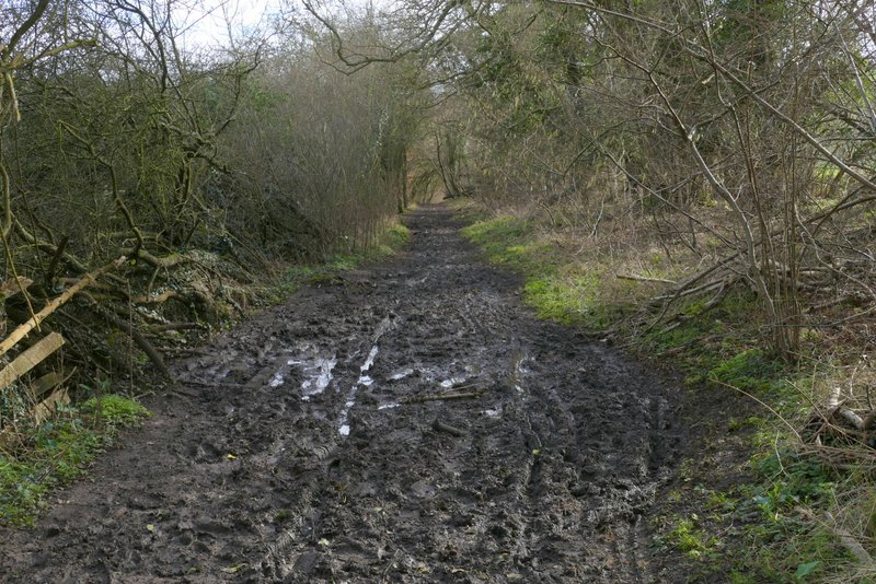
I'm not sure if I've walked this section of the bridleway before, it's certainly not on any walk I've documented on this website. Though when another bridleway came in from the left, just before I reached the end of the wood, I was definitely back on familiar territory. The bridleway continued along the valley bottom between hedgerows, turning right, then left and then right again. It was very muddy in places (as were many paths and bridleways today). About three-quarters of a mile after leaving the wood the bridleway joined a drive (it looks like a lane) coming from Daws Hill Farm, continuing in the same direction. After a few hundred yards, the drive ended at a bend in a lane, where I again went straight on.
The same bridleway, continuing towards Radnage
View from the bridleway (where it turns half-right)
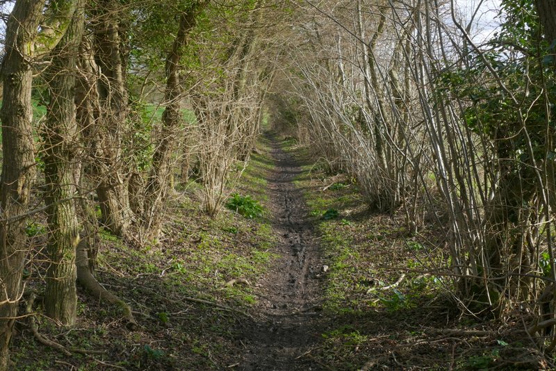
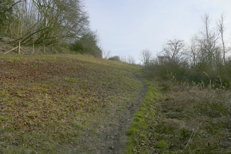
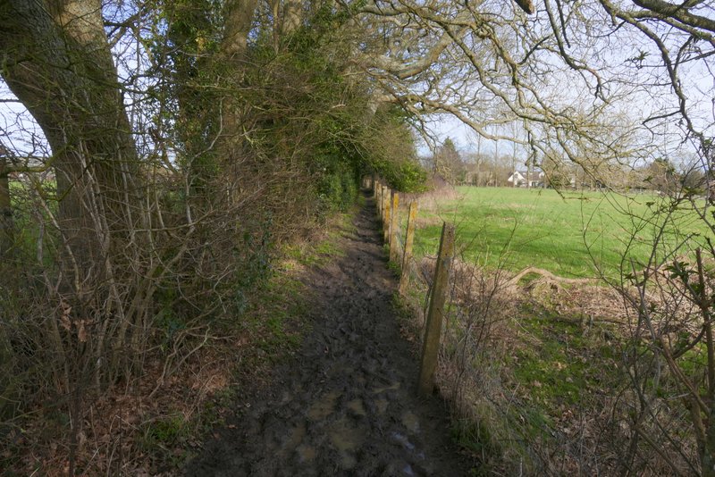
Further along the bridleway
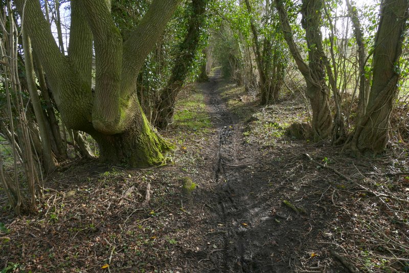
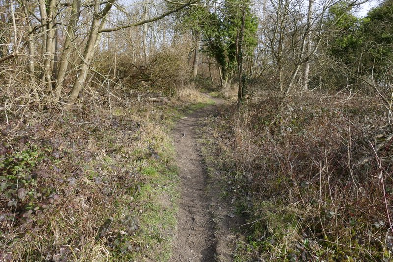
Further along the bridleway
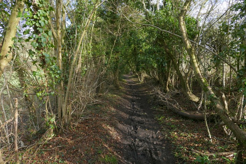
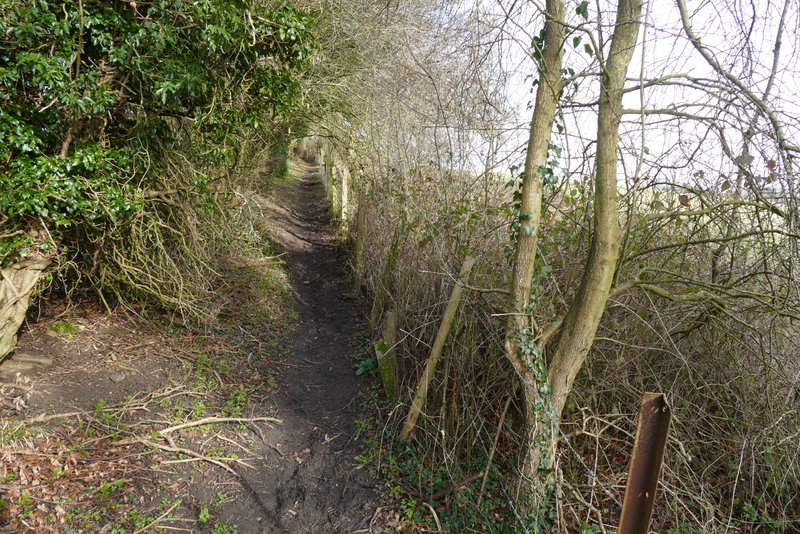
Further along the bridleway
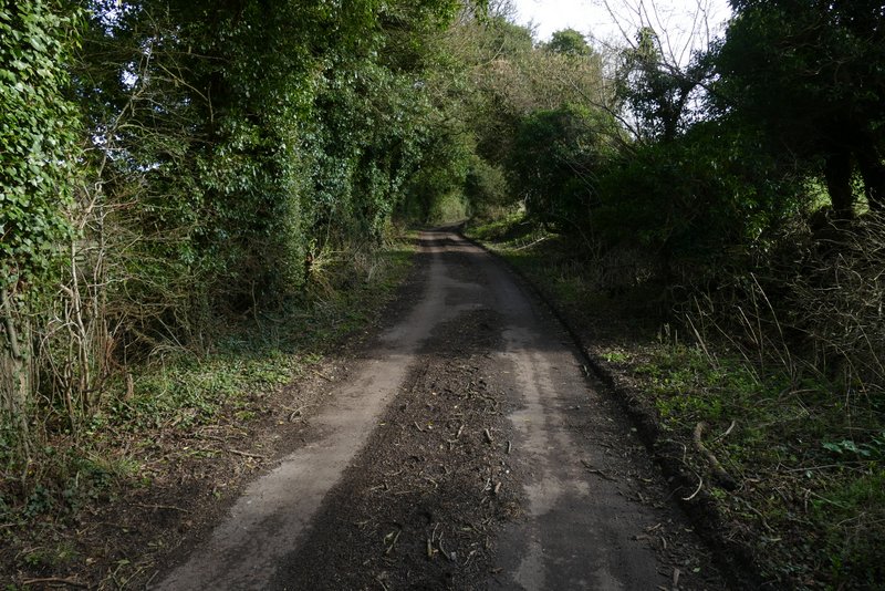
The drive from Daws Hill Farm
The drive from Daws Hill Farm
After two or three hundred yards I took a footpath on the left that crossed some grass, went over a drive, and entered an empty pasture or meadow. The path dropped gently downhill through the field, then rose (much steeper than I remembered) for a very short distance, before it reached a lane. Across the lane I reached Radnage church (probably my third favourite church in the Chilterns, after the ones at Little Missenden and Fingest). I followed a faint path through the churchyard, initially walking parallel to the church on my left. Beyond the churchyard, the path went half-right across an empty pasture, and then continued in the same direction across another empty pasture. After going through a gate I took the left fork at a path junction, heading uphill towards the corner of a field of rough grass.
The path to Radnage church
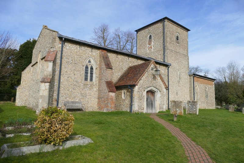
Radnage church - I've known for a long time that this church is unusual because the tower is in the centre, but I've just seen on Wikipedia that it's more unusual than that, due to the tower being narrower than both the nave and chancel (you can't really tell from this photo that its narrower than the nave)
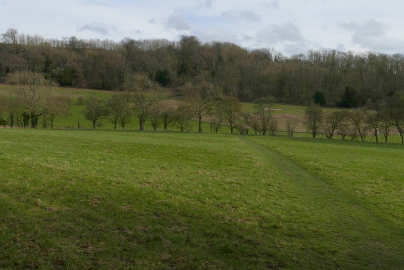
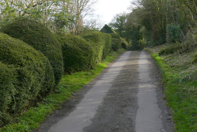
The path from Radnage church to Bledlow Ridge
The path from Radnage church to Bledlow Ridge
Through a gate, with the main part of Yoesden Bank nature reserve to my left, the path steepened, soon turning slightly right and then turning left as it rose up through an area of scrub with woods either side. Through a gate the path levelled off for a bit, but when it then turned left and ran between a tall hedgerow and a fence on my right, it was gently uphill for a while. This section of the path was very muddy, the worst of this walk and one of the muddiest paths I've come across this winter. The path brought me back to the road through Bledlow Ridge, where I turned right and made my way back to my parked car.
Yoesden Bank nature reserve
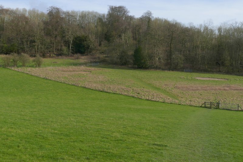
The path from Radnage church to Bledlow Ridge
The path from Radnage church to Bledlow Ridge
The path from Radnage church to Bledlow Ridge
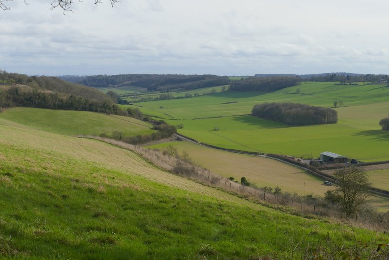
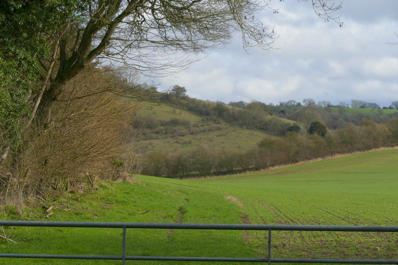
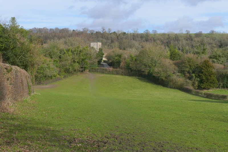
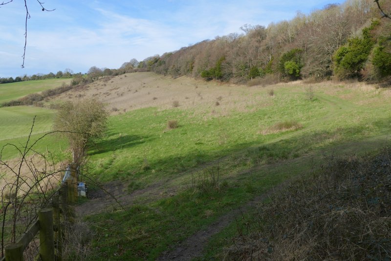
View right over the valley southwest of Bledlow Ridge (my outward route crosses from left to right in the middle of the shot)
The path from Radnage church to Bledlow Ridge
I didn't have particularly high hopes for this walk, as the forecast was for yet another grey day, though I knew I'd at least have the pleasure of trying a few paths I'd not walked before. In the event the sun came out halfway through the walk, and that made it much more pleasurable - I think I've had my fill of plodding through muddy paths under leaden skies for this winter. I'm not sure I'll use the new paths again, though. The path to Radnage was OK, but entailed a lengthy road walk afterwards (it doesn't link with any nearer paths, unless I wanted to go straight back to Bledlow Ridge). The long path from Radnage towards Stokenchurch was easy to follow, but very flat and not very scenic - the road noise didn't improve things. The path through Pophley's Wood was fine, but again I can't see how I could link it to any other paths (unless I wanted a three-quarter mile walk through Stokenchurch, which is most unlikely). Having said that it wasn't too bad a walk at all, from the edge of Stokenchurch onwards it was fine - a nice mixture of woods and fields, fairly up and down with only one steepish uphill right at the end. Perhaps I'll give it another chance, on a sunny day when the paths are dry.