Pete's Walks- Little Missenden, Holmer Green and Mop End (page 1 of 4)
If you are considering walking this route yourself, please see my disclaimer. You may also like to see these notes about the maps and GPX files.
I did this 6.1 mile walk on Thursday, 14th March 2024. It was another repeat of a walk I first did in April 2022.
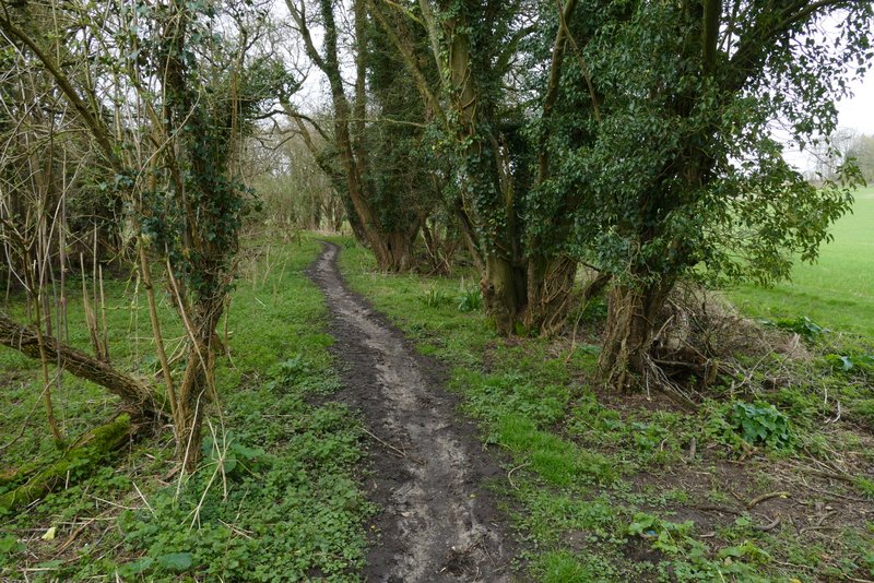
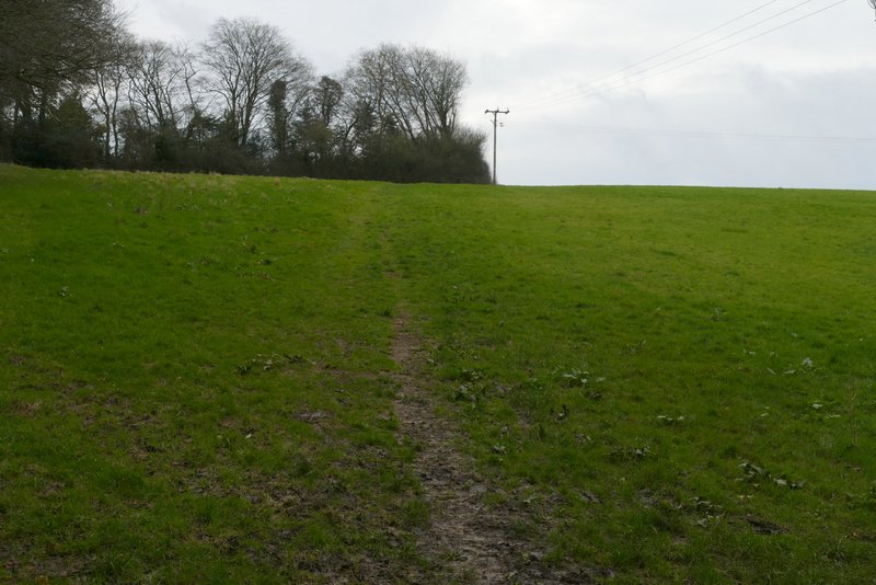
I parked outside the church at Little Missenden, and started walking about 9:50am. With the church on my left I went a short way along the road to a junction, where I turned right. I followed the lane when it went right (now Penfold Lane, a bridleway called Beamond End Lane went straight on). The lane soon left the village, and after a short distance turned left. Just after this corner I took a footpath on the right, following the right edge of an arable field. I heard Skylarks singing here. On reaching the far side of the field, I turned left onto a hedge-lined bridleway name Kingstreet Lane.
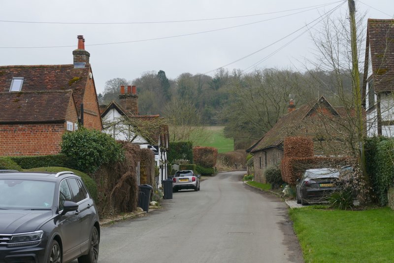
Lane through Little Missenden after I turned right
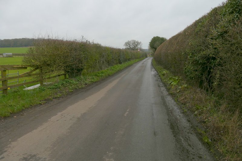
The lane after it turns right
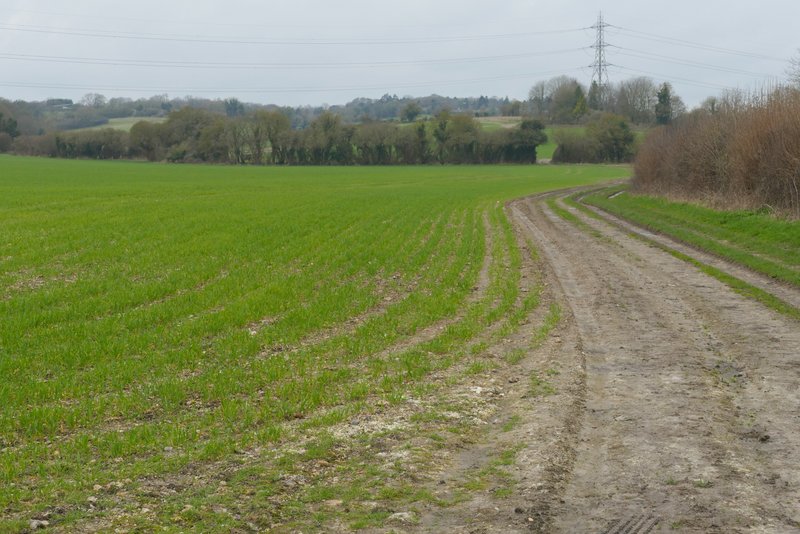
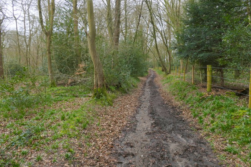
The footpath from Penfold Lane (Kingstreet Lane is in the hedgerow at the end of the field)
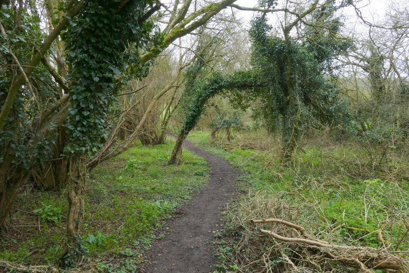
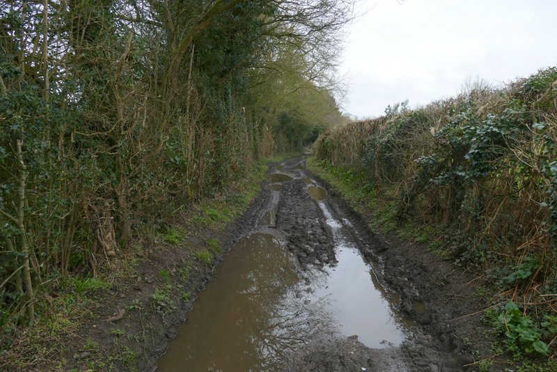
Kingstreet Lane is one of five named 'lanes' running roughly south from in or near Little Missenden that are now just bridleways (the others are Featherbed Lane, Beamond End Lane, Toby's Lane and Mop End Lane, with Penfold Lane being the only actual lane south from Little Missenden that is still open to road traffic). The lane soon turned right and then left. It then gradually climbed uphill to reach some woodland - there was a nice view on the right at this point. The path then levelled off and continued beside a fence on my right (I think this marks the boundary between Haleacre Wood on that side and Coleman's Wood to my left).
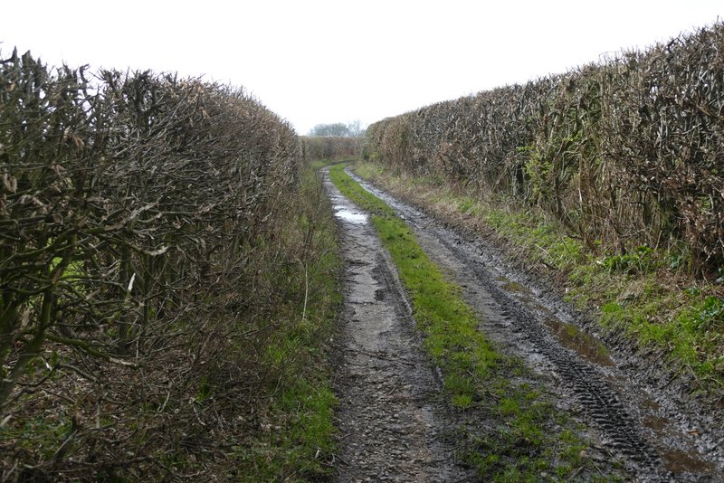
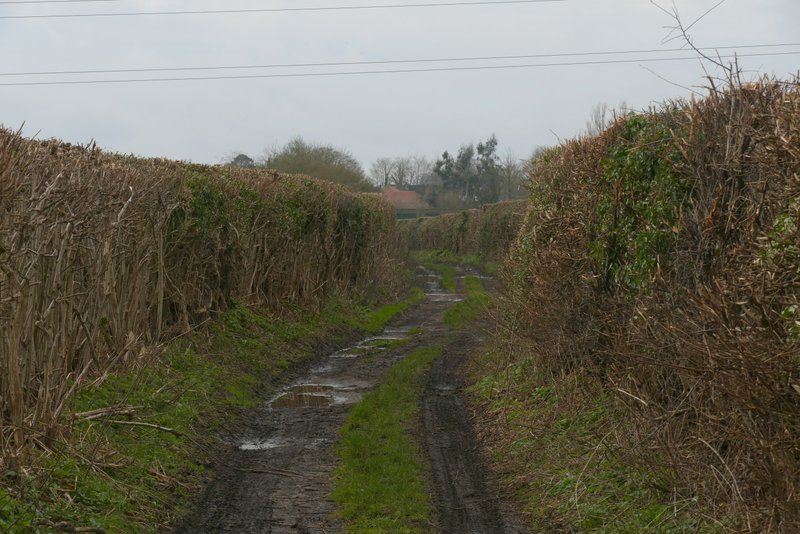
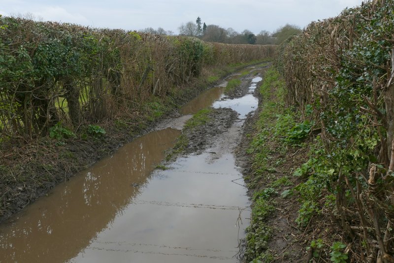
Kingstreet Lane
Kingstreet Lane
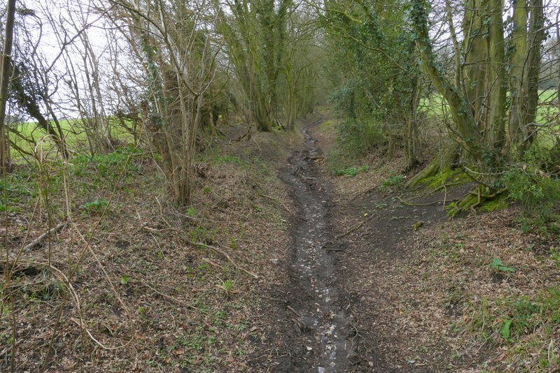
Kingstreet Lane
Kingstreet Lane
Kingstreet Lane
Kingstreet Lane
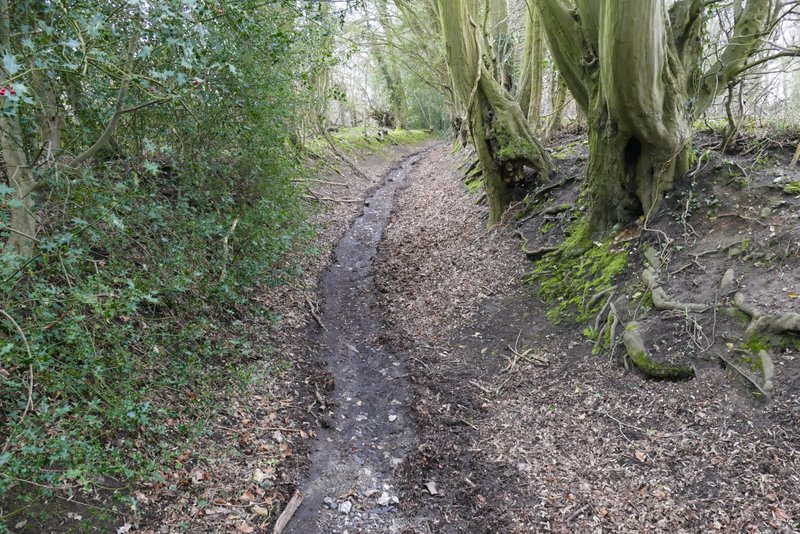
On leaving the wood the lane continued as a track between hedgerows (that completely blocked any views). For much of the way the track alternated between a few yards of mud and then deep puddles that completely covered the track, forcing me to clamber along the hedge bank on one side, clinging on to the hedge for support. After a while I grew tired of this and just tried to plough straight on through the puddles (after all, my boots are waterproof) but then halfway through a particularly long puddle the water came over the top of my boot, so I was back to scrambling along the hedgerow. Eventually, about half a mile after leaving the wood, I reached the village of Holmer Green.
Kingstreet Lane
Kingstreet Lane
Kingstreet Lane
Kingstreet Lane
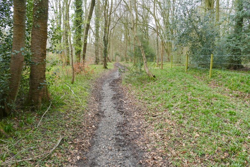
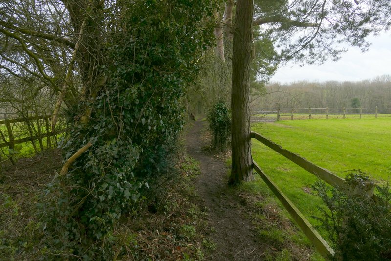
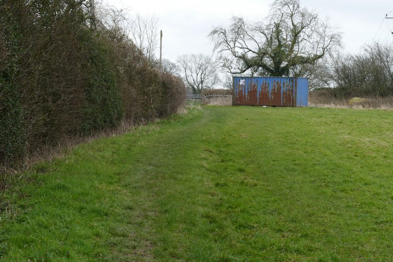
I crossed a road (Penfold Lane again) and went down a street almost opposite. Just after this turned left, I went down a short cul-de-sac on the left and took a footpath starting at its end (on the left). This went down a short alley between houses, turned right for a few yards then turned left. I was now back in the countryside, the path initially running between a fence on my left and a hedgerow on my right. Further on there was a hedge to my left, and paddock fences and an unusual (for the Chilterns) row of Conifers on my right. The path then dropped down into a wood and started up the other side of a valley, soon leaving the wood and crossing part of a meadow to a hedge corner, continuing beside the hedge on my left to reach Beamond End Lane.
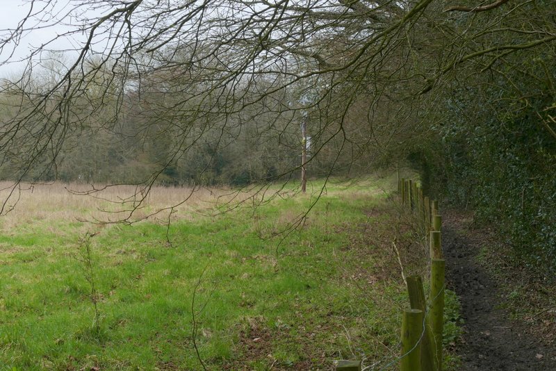
Near the start of the path from Holmer Green to Beamond End
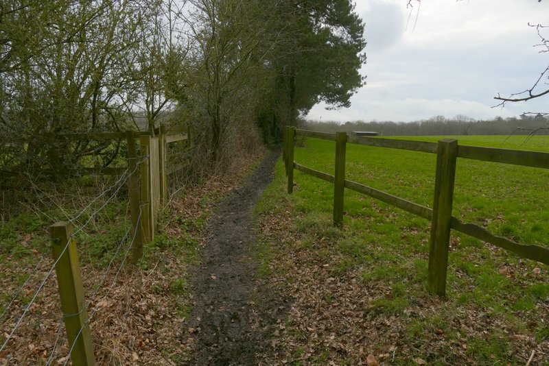
The path from Holmer Green to Beamond End
The path from Holmer Green to Beamond End
The path from Holmer Green to Beamond End
Approaching Beamond End Lane