Pete's Walks - Ashridge and Aldbury (page 1 of 3)
If you are considering walking this route yourself, please see my disclaimer. You may also like to see these notes about the maps and GPX files.
I did this circular walk of about 6.1 miles on Thursday, 21st March 2024. It was a repeat of a route I first walked in March 2014 but today I walked it in the opposite (anti-clockwise) direction (which I first did in March 2019). I managed to go slightly wrong at one point (again!), this is shown as 'Alternative 1' on my Google map of the walk.
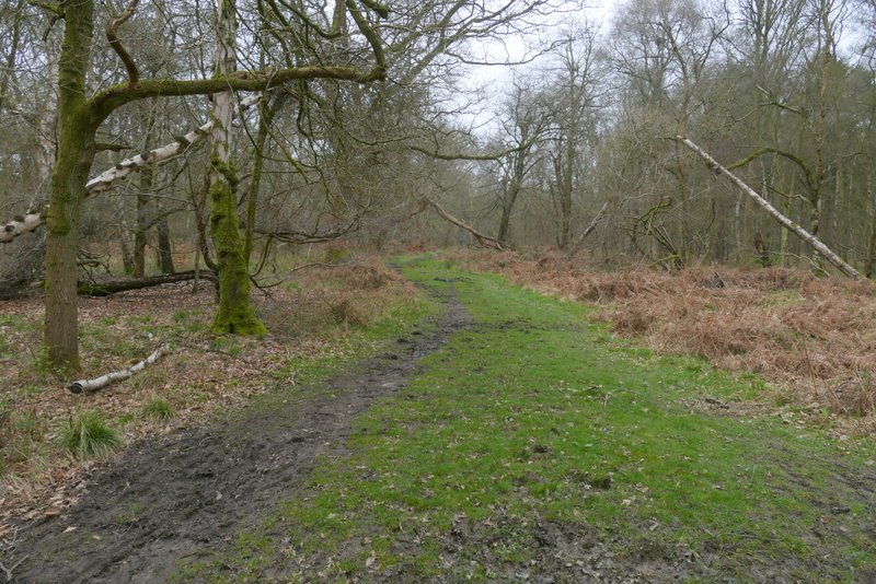
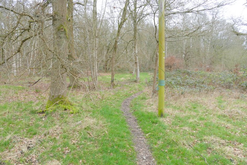
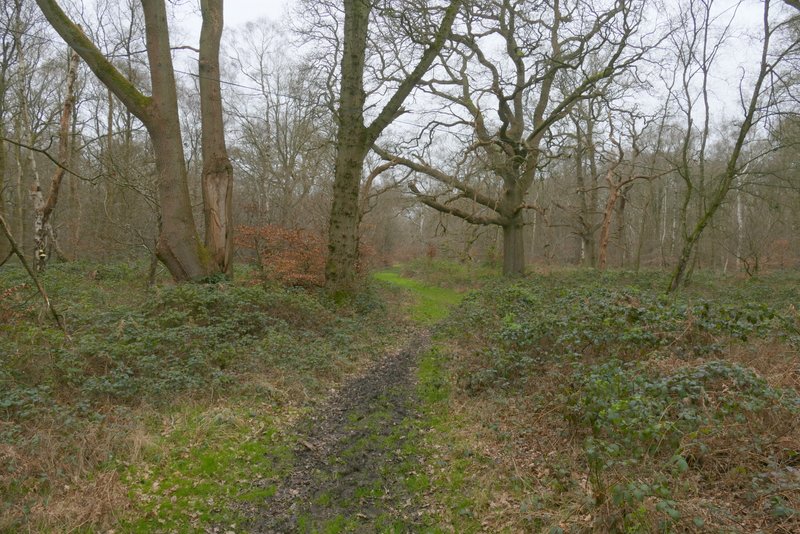
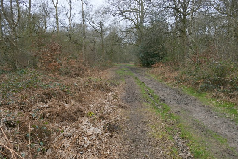
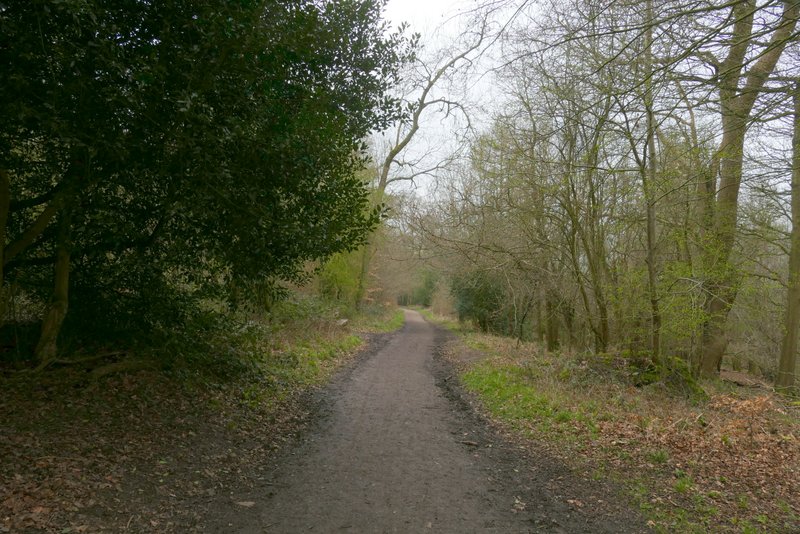
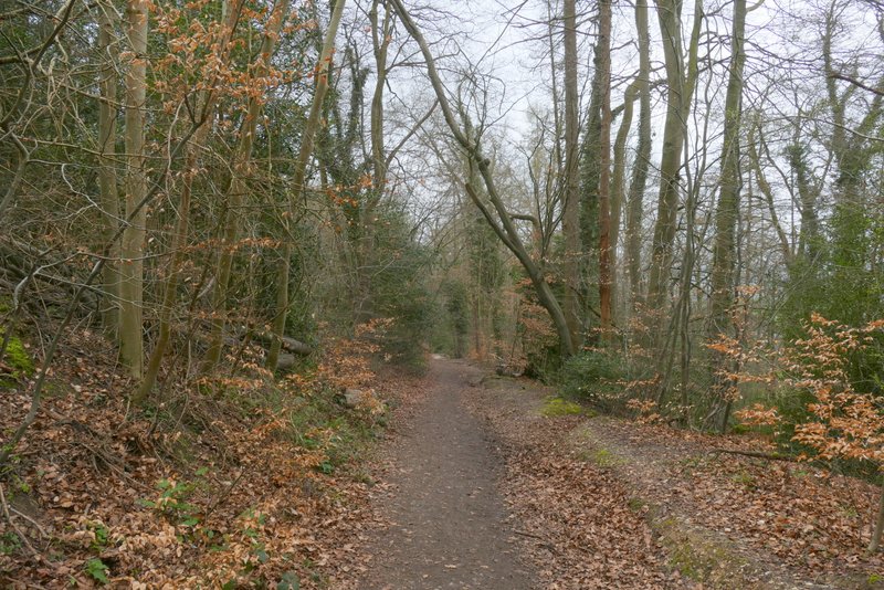
I parked at a car park in Ashridge, along the minor road that leads to Aldbury, quite close to the hamlet of Tom's Hill (Grid Reference SP 972118). Previously when I've done this walk I've just crossed the road and 'bushwhacked' through the trees until I reached a path, but today I turned right along the road for maybe 200 yards to where a fingerpost indicated a footpath crossed the road. I turned left into the trees and after a short while the path turned left. Soon after I came to another path junction where I turned sharp right - I was now back on the route I'd previously used (I have marked the way I went today as 'Alternative 2' on my Google map of the walk). This path ended at a junction with a bridleway where I turned right. I then almost immediately came to a crossing where I turned left onto a broad footpath (for years I assumed it was a bridleway!), which I am very familiar with from many of my walks in Ashridge (it goes to the drive to the Bridgewater monument, but I wasn't going quite that far along it today).
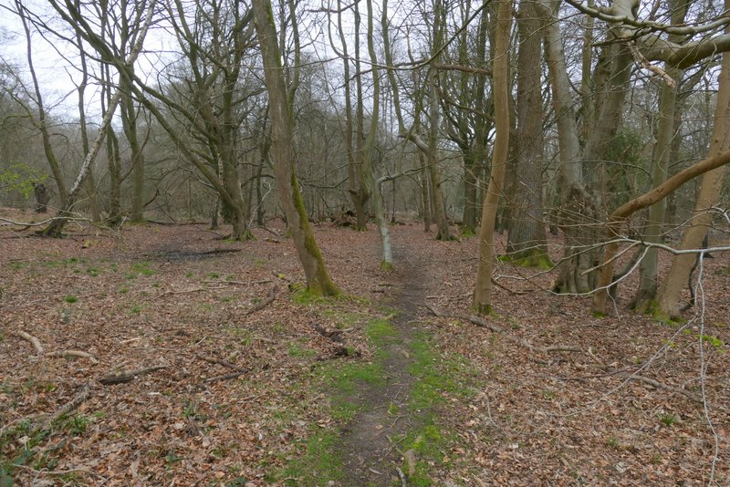
The start of the path after I turned left from the road
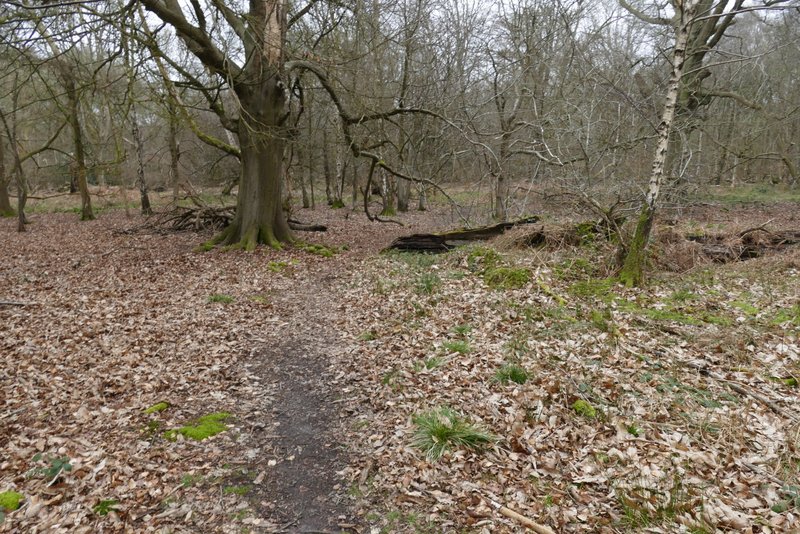
This is the same path after it turns left
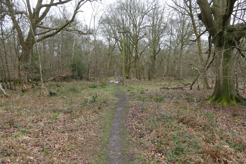
This is the path after I turned sharp right at a path junction
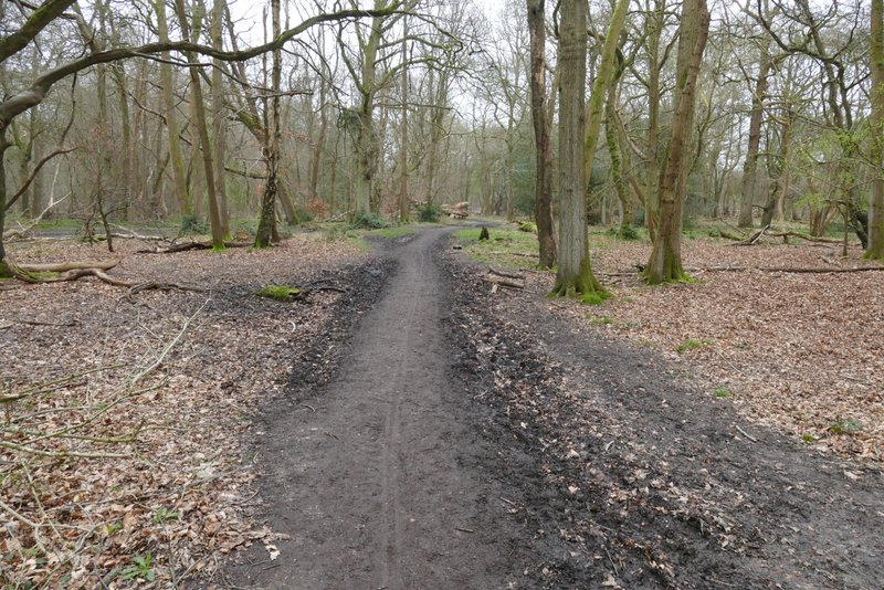
The bridleway after I turned right (I turned left in the middle of this shot)
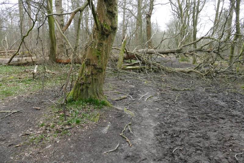
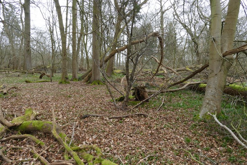
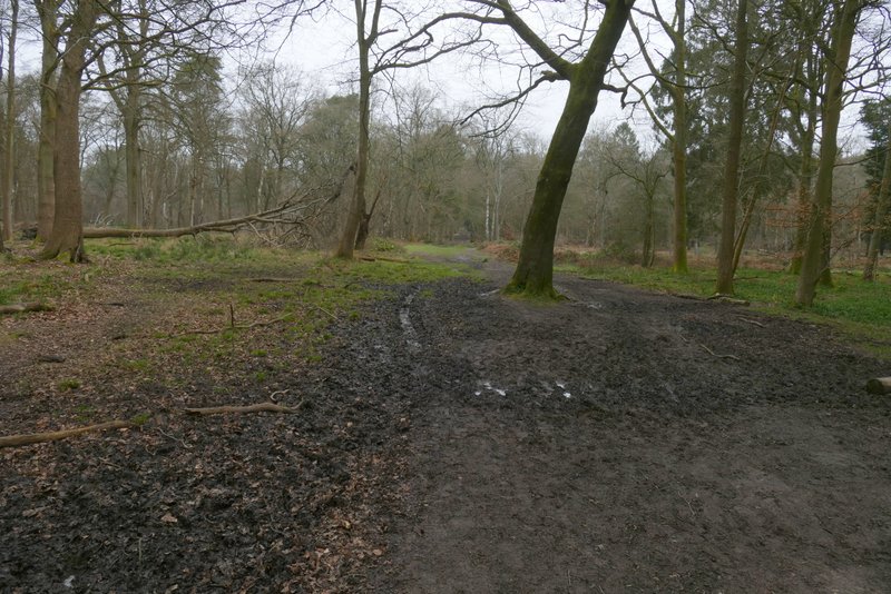
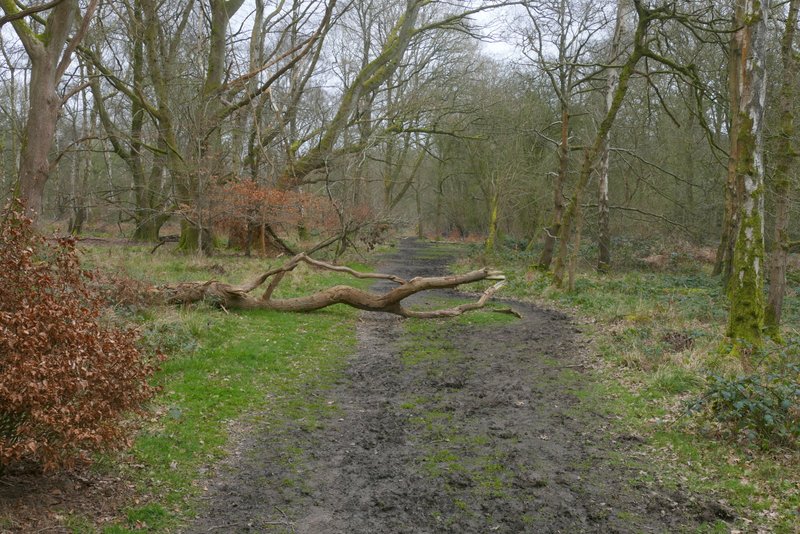
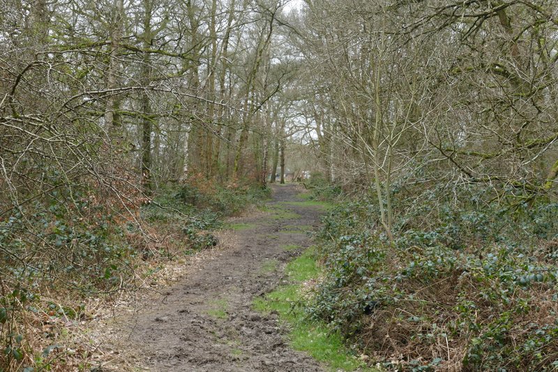
There was soon a fallen tree across the footpath, and just past it I saw that many other trees on both sides of the footpath had been brought down in the winter storms. I continued along the path through the woods, unusually only seeing one or two other people. I soon passed a large pasture on the right (it's bordered by the woods of Ashridge on three sides, the side opposite to me being next to the minor road from Ringshall to Northchurch). I went straight on when a bridleway crossed the path, but when a second one crossed the path I turned right along it. The drive to the Bridgewater monument was now fairly nearby on my left, and as I followed the bridleway it was gradually drawing nearer to the drive.
Fallen tree across the footpath to the Bridgewater Monument
Fallen trees to the right of the footpath
Fallen trees to the left of the footpath
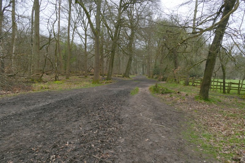
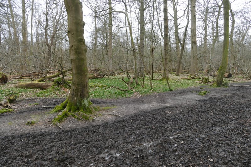
The footpath to the Bridgewater Monument
The footpath to the Bridgewater Monument
The bridleway after I turned right - it gradually gets closer to the drive to the monument
Further along the bridleway
The bridleway ended when it reached the Ringshall-Northchurch road, where I turned left and within a few yards came to where the drive from the monument met the road. I crossed the drive and took a bridleway starting on the other side, which went left and gradually angled away from the drive, still in the woods of Ashridge. I followed the bridleway for several hundred yards until it came to a bridleway T-Junction, where I turned half-left. In a few hundred yards, the new bridleway brought me back to the drive, very close to the Bridgewater monument.
The bridleway on the other side of the drive from the monument, gradually moving further away from the drive (again on my left)
Further along the bridleway
The bridleway after I turned half-left, heading to the drive to the Monument
Approaching the Bridgewater Monument
The Bridgewater monument was erected in 1832 in memory of the third Duke of Bridgewater, who played an important part in the development of canals in this country. At the end of the drive I took the leftmost of two tracks, which soon passed the National Trust tea shop on my left, with the monument to my right. The track continued as a bridleway, dropping gently downhill through the trees towards Aldbury. Another bridleway joined it sharply from the right, then after another hundred yards I came to a fork where I went right, continuing downhill.
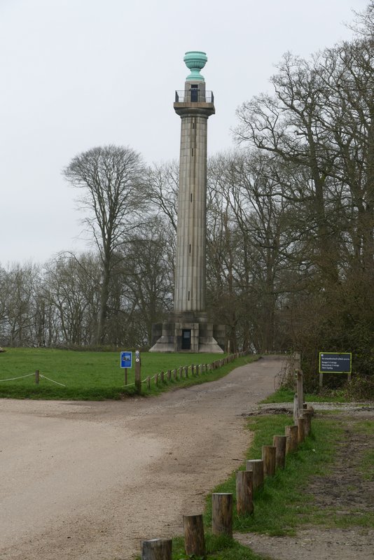
The Bridgewater Monument, Ashridge (I followed a track to the left of the grass)
The bridleway from the monument to Aldbury
The bridleway from the monument to Aldbury, after I forked right