Pete's Walks - Great Kimble, Green Hailey, Buckmoorend (page 3 of 3)
If you are considering walking this route yourself, please see my disclaimer. You may also like to see these notes about the maps and GPX files.
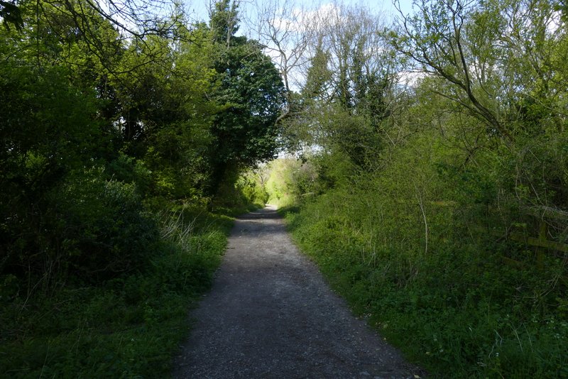
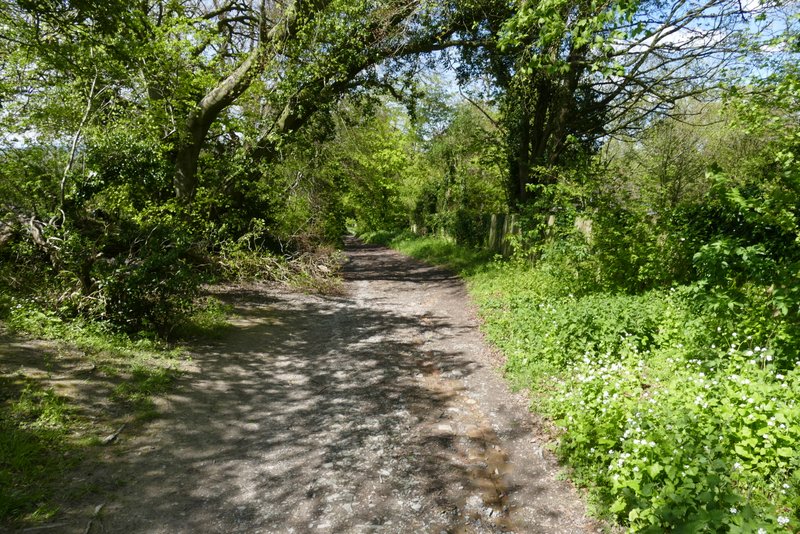
After about a third of a mile I came to a path T-junction where I turned right, now in Hengrove Wood. After a short way, the path turned left. I should have then gone immediately right and after going uphill a short way, turned left at a path junction - but I mistakenly just continued straight on along an unofficial path goes straight on here. My intended and actual routes came together after a few hundred yards, immediately before reaching the lane from Buckmoorend towards Little Hampden (I usually refer this as the 'old' lane as if it's no longer in use, but it's just shown as a lane on the OS map, though you'd probably need a 4-wheel drive vehicle to get along it and it just ends in the middle of a wood - I've always presumed it used to continue on to Little Hampden). I turned left and followed the Lane to Buckmoorend.
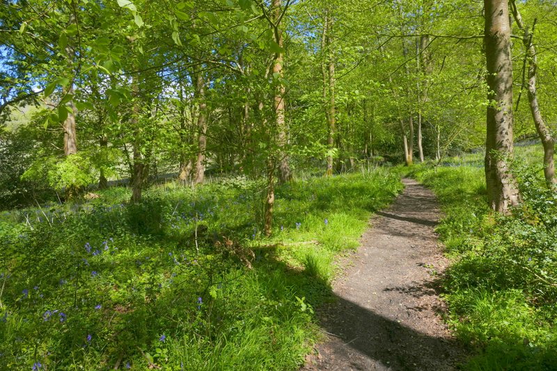
The path after I turned right in Hensgrove Wood
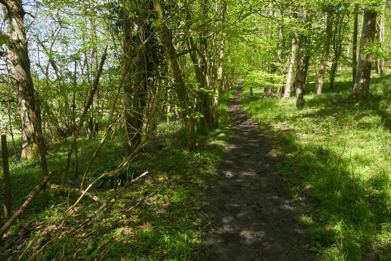
The unofficial path in Hensgrove Wood
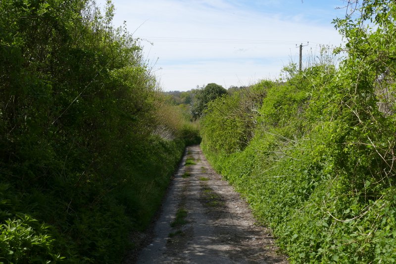
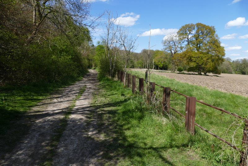
The lane between Little Hampden and Buckmoorend
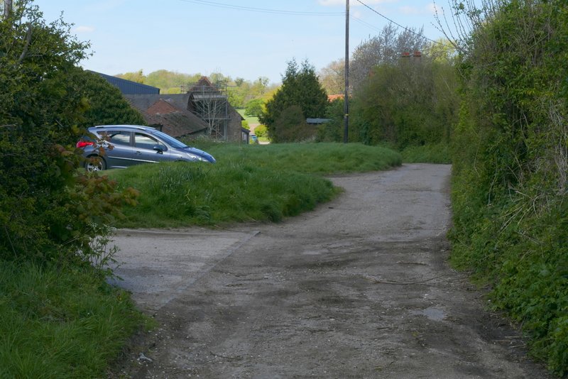
Buckmoorend
At the end of the lane, I crossed a road and joined the route of the Ridgeway national trail as it crossed the grounds of Chequers (the Prime Minister's country retreat). It soon went through gates either side of the drive to the big house. There used to be a fence on the right beyond the second gate, but now there is just a row of warning notices. Through another gate, the path turns right to follow the edge of Maple Wood, with views to the right over Chequers (mainly hidden in trees) with Coombe Hill beyond.
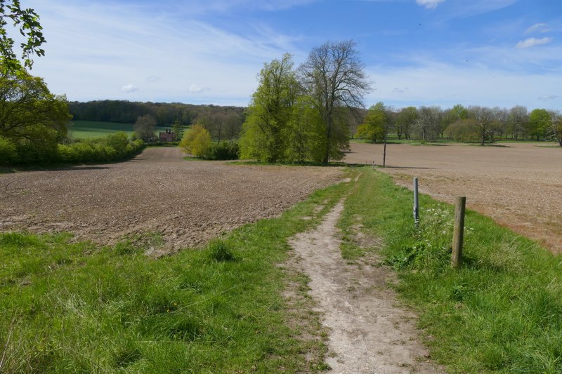
The Ridgeway, crossing the grounds of Chequers
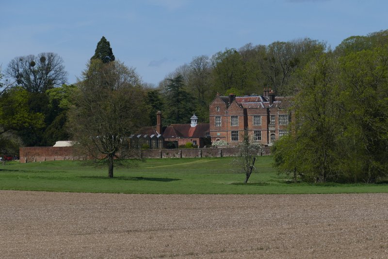
Chequers
The Ridgeway, crossing the grounds of Chequers
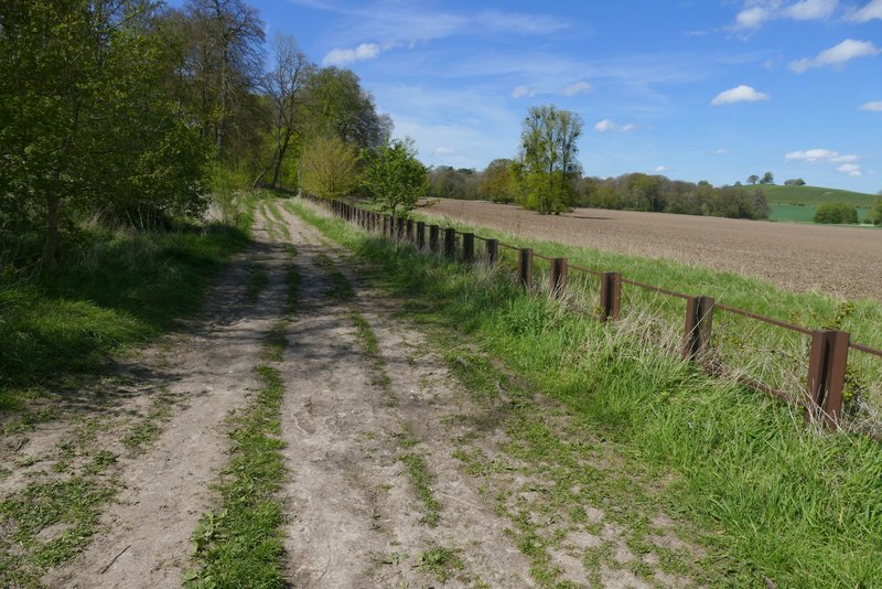
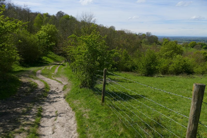
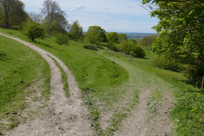
The Ridgeway running beside Maple Wood
The Ridgeway running beside Maple Wood
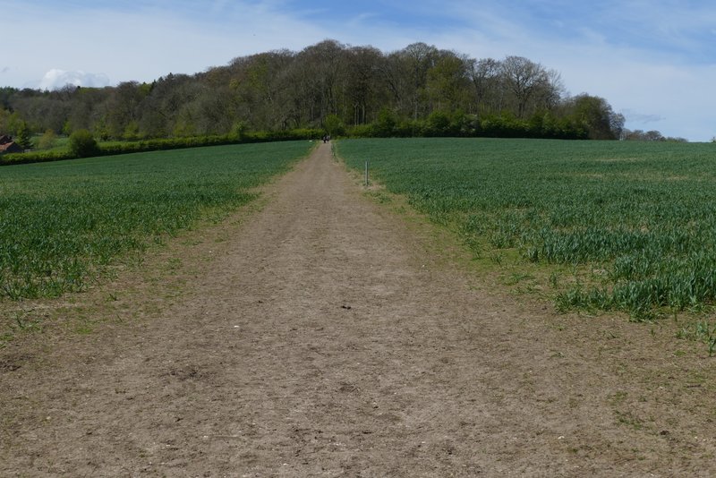
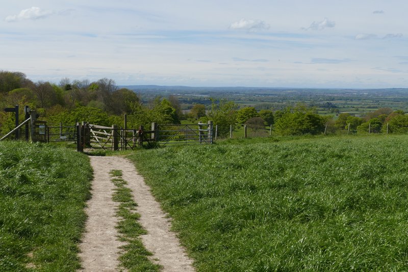
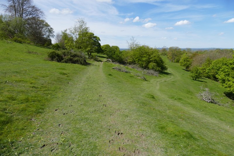
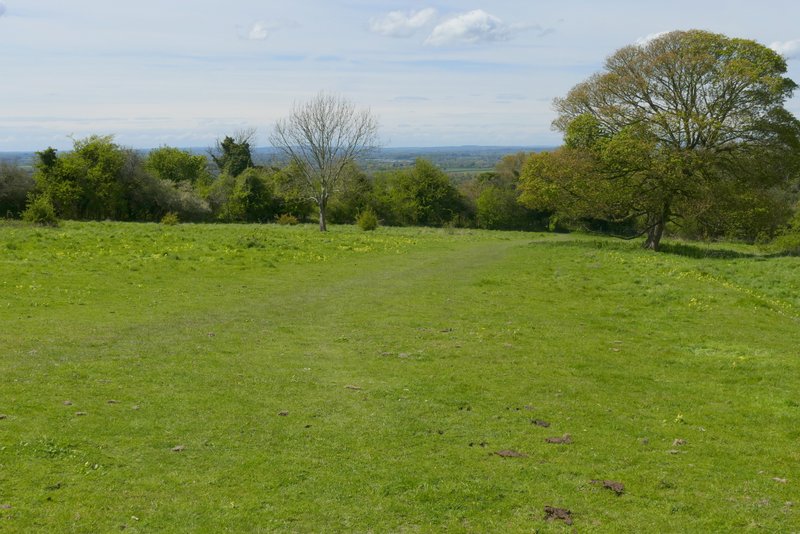
After a few hundred yards, the path went through a gate and continued across an empty pasture (this section is marked Cradle Footpath on the OS map, but I don't know the origin of this name). On the far side, I went through another gate and continued along the clear path through an area of grass and bushes. After two or three hundred yards I forked right where a wooden finger-post indicated a footpath junction (I could have gone on a little further and then turned right to go over the little eminence called Chequers Knap). I soon came to a path fork where I kept left left, going past Chequers Knap up to my left. On eventually reaching the far corner of this area, I turned right onto a bridleway and followed it down to Great Kimble, where the lay-by where I'd started was just to my left.
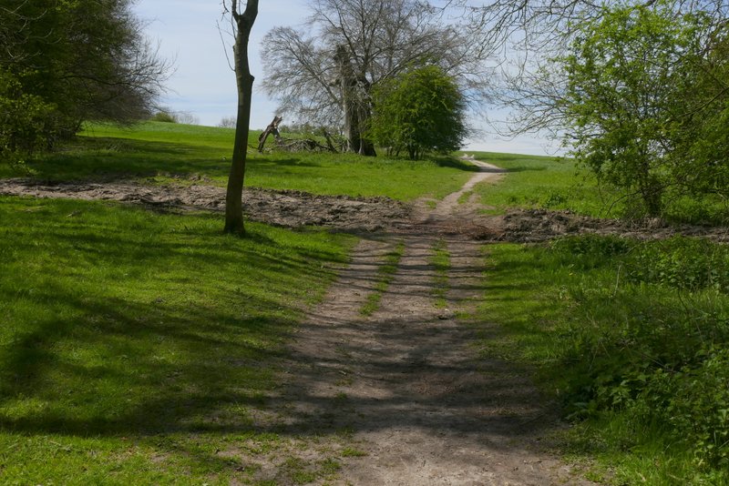
The Cradle footpath (I'd love to know why it's called this)
View ahead from the Cradle footpath
The Cradle footpath
Where I forked right from the Ridgeway
Further along the path
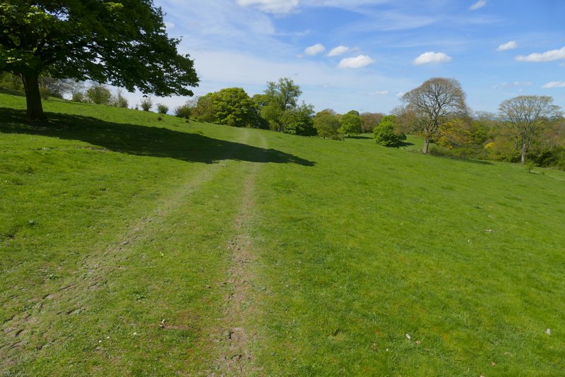
Further along the path
Further along the path
The bridleway back to Great Kimble
The bridleway back to Great Kimble
At last I had a beautiful Spring day for a walk! After months of wet weather the paths were still a bit muddy in places, but were generally dry. The only really bad bit was the waterlogged section of path in Kingsfield Wood - I should have heeded my own advice and left this walk for a drier part of the year! But I'm not complaining, this was a very enjoyable walk on an absolutely gorgeous day, with a profusion of wildflowers on display. I've already mentioned Wood Sorrel and Bugle, but I also saw Lesser Celandine, Greater Stitchwort, Bluebells, Cowslips, Garlic Mustard, Greater Stitchwort, Herb Robert and Yellow Archangel, amongst others.