Pete's Walks- Maidensgrove and Greys Court (page 5 of 5)
I crossed over and went down the lane opposite, which quickly brought me to Catslip. I continued along the lane, which in a quarter of a mile or so brought me to Crocker Green. When the lane forked, I went left and followed this lane across the village green to another lane junction. I continued along a footpath starting by this lane junction, thus joining another part of the route of the Chiltern Way, which I'd now follow for the rest of the walk. It crossed a huge open field dotted with trees (including some impressive conifers just to the right of the path), presumably part of the park around the nearby Soundess House.
The lane to Catslip
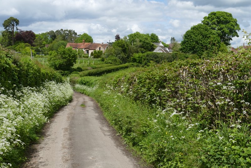
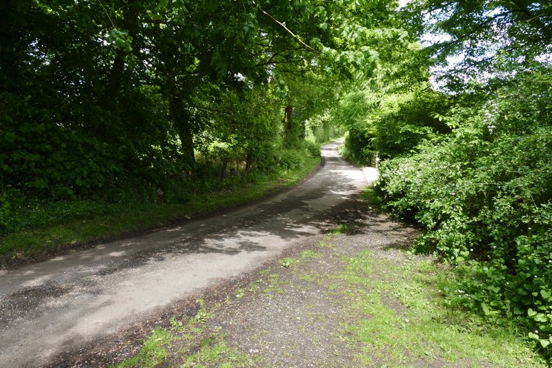
The lane continuing from Catslip to Crocker End
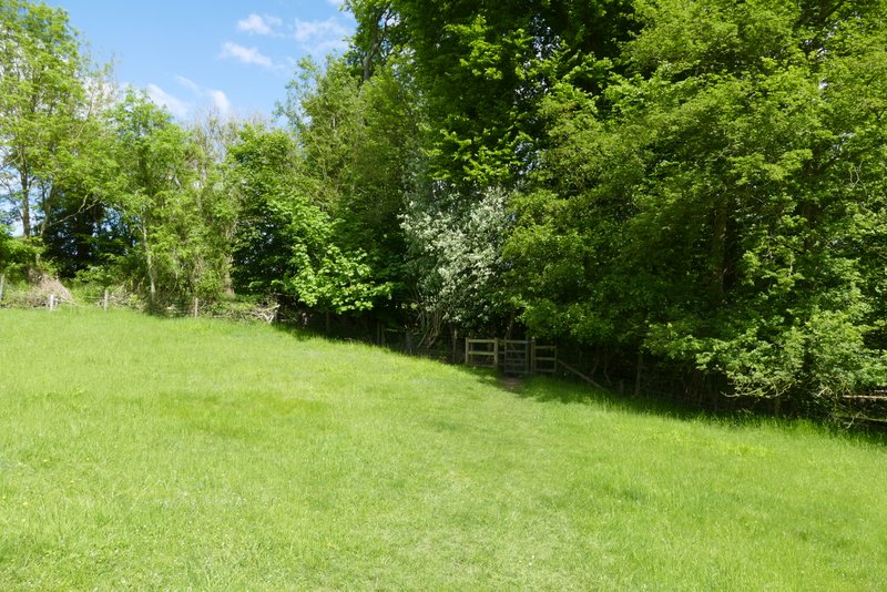
The lane continuing across the green at Crocker End
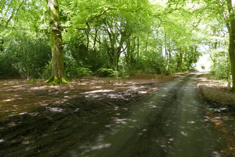
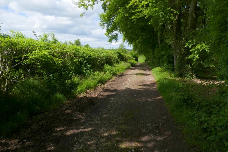
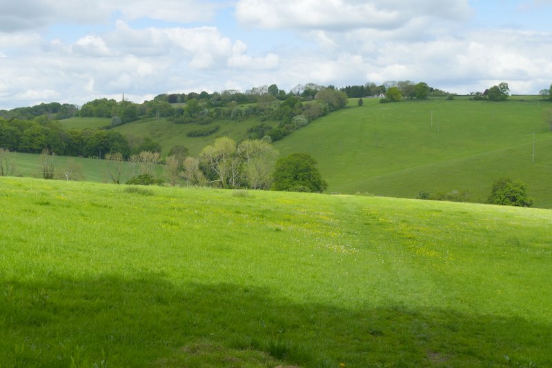
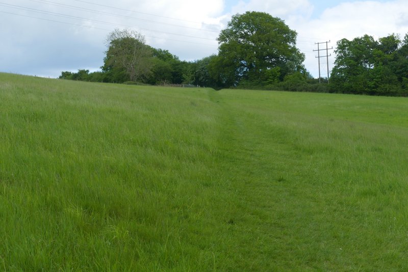
The path going north from Crocker End
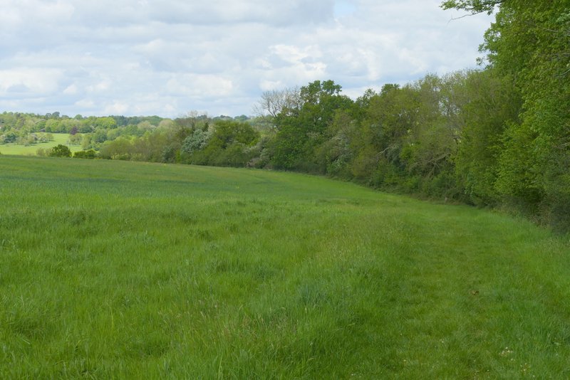
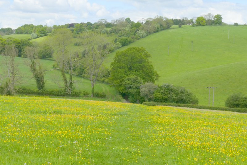
I then turned right along a drive, then turned left at a junction of tracks or drives, to pass Soundess Farm on my left. A wood called Stockings Plantation was on my right, and the path continued with this wood on my right as it next went along the edge of large field. A post with waymarks indicated where the path turned half-right, running between trees on the right of an empty pasture (there is now a fence between the tress and the pasture, I'm fairly sure there didn't use to be one), with the wood still a few yards to my right. Finally the path went half left across an empty pasture, dropping downhill to a major path junction in the valley of Upper Bix Bottom.
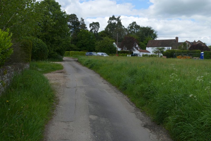
The drive near Soundess Farm
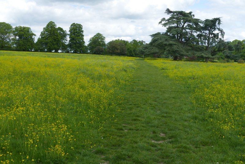
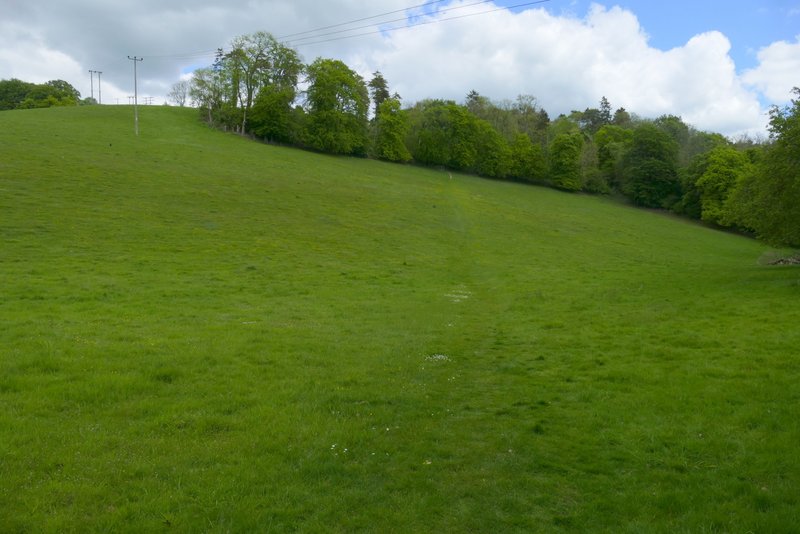
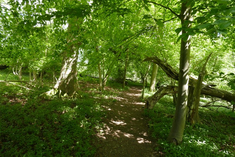
The path going north from near Soundess Farm
The path going north from near Soundess Farm
The path going north from near Soundess Farm
The path going north from near Soundess Farm
The path going north from near Soundess Farm, dropping down to the five-way path junction at Upper Bix Bottom
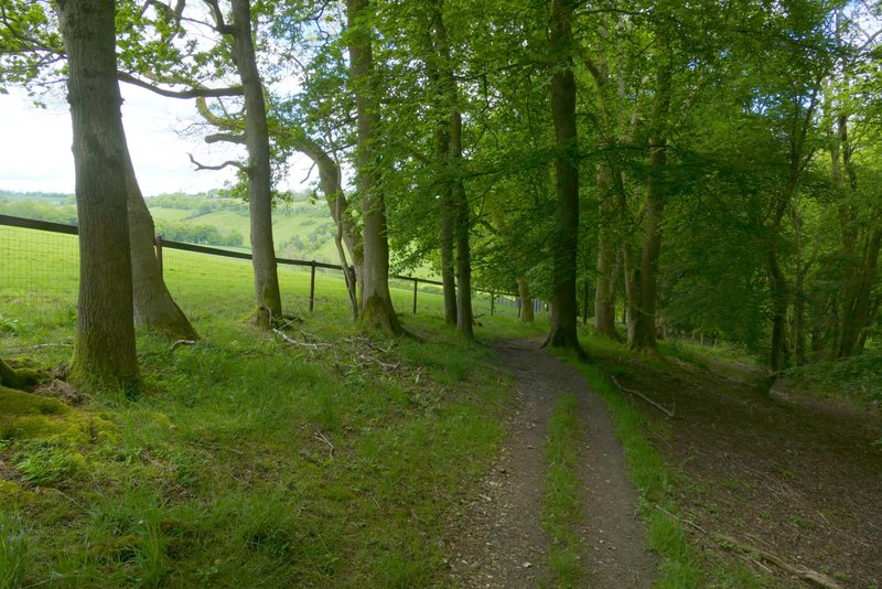
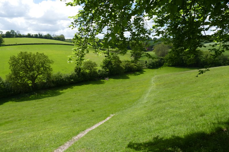
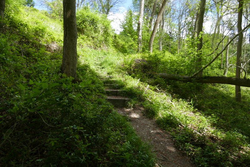
I ignored the three tracks meeting here, and took the other footpath from this junction, which went half-right (from between two of the tracks) and climbed steadily uphill to reach a small piece of woodland. There was a seat here with a great view, where I stopped to eat my lunch. The path continued more steeply up steps through the wood, then continued across a meadow or pasture to enter Big Ashes Plantation. The path continued close to the northern edge of this wood, then crossed another grassy field to reach a track (a public byway), coming up from the Warburg Nature Reserve down to my right. I turned left and followed the track the short distance back to Maidensgrove Common and my parked car.
The start of the path going east from the five-way path junction at Upper Bix Bottom
Looking back to the five-way path junction at Upper Bix Bottom
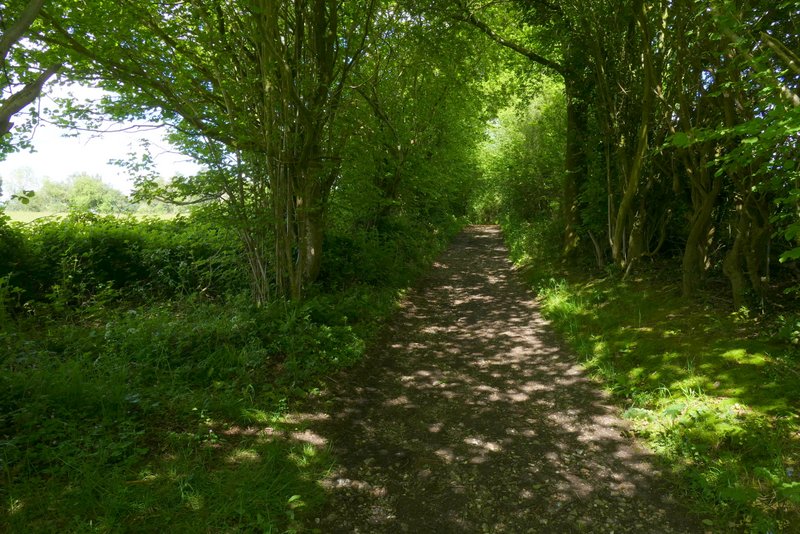
The path going east from the five-way path junction at Upper Bix Bottom, passing through a small bit of woodland
The path continuing towards Big Ashes Plantation
The path continuing through Big Ashes Plantation
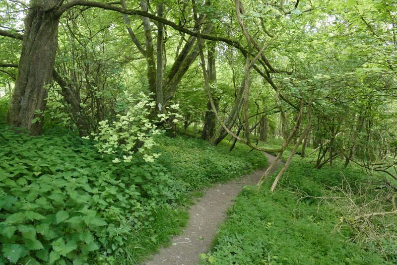
The path continuing through Big Ashes Plantation
The path continuing from Big Ashes Plantation
The public byway from the Warburg Nature Reserve, approaching Maidensgrove Common
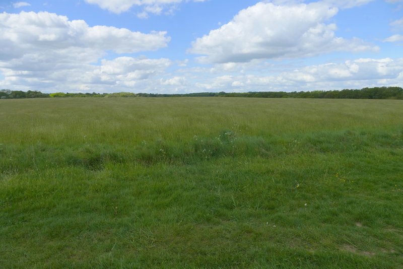
Maidensgrove Common
Having walked this route three times now, I think it's one of my favourite routes of about 10 miles in the Chilterns. It goes through typical Chilterns scenery, with the usual mixture of woods and fields, and several ups and downs (the biggest climb was at the end, from Upper Bix Bottom to Maidensgrove Common). There were several fine views to be enjoyed. Greys Court and the old church at Bix Bottom added some historic interest to the route.