Pete's Walks - Hambleden, Marlow Common, Moorend Common (page 2 of 5)
If you are considering walking this route yourself, please see my disclaimer. You may also like to see these notes about the maps and GPX files.
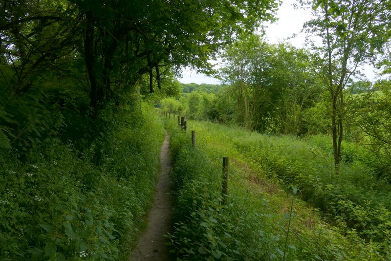
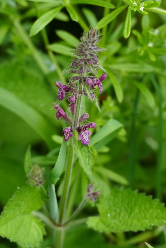
I then continued a short way along the path to reach its end. I then turned right along a lane for a few yards, then took a path on the other side. This ran between a fence on my left and a hedge. After a hundred yards or so it turned right, now between a hedge and a fence on my right - I saw some Hedge Woundwort along here. After a few hundred yards the path entered Pullingshill Wood where it went steeply uphill before levelling out and reaching a lane.
The end of the path along the valley bottom in Homefield Wood
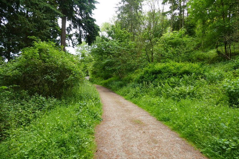
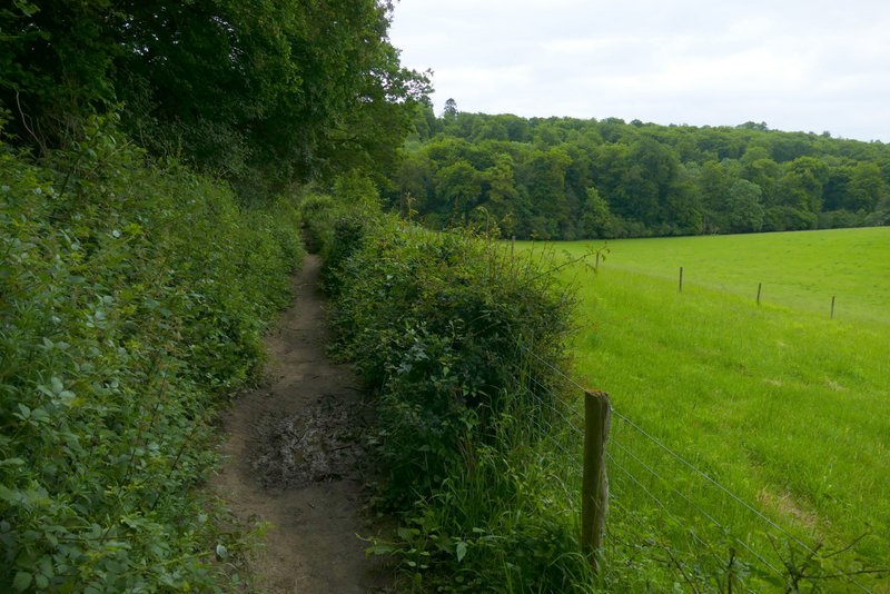
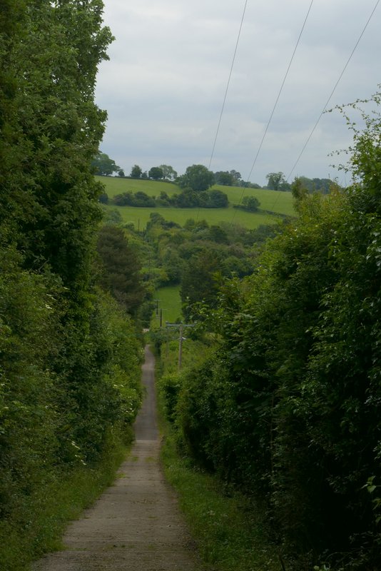
The start of the path from Homefield Wood to Pullingshill Wood
The path from Homefield Wood to Pullingshill Wood
The path from Homefield Wood to Pullingshill Wood
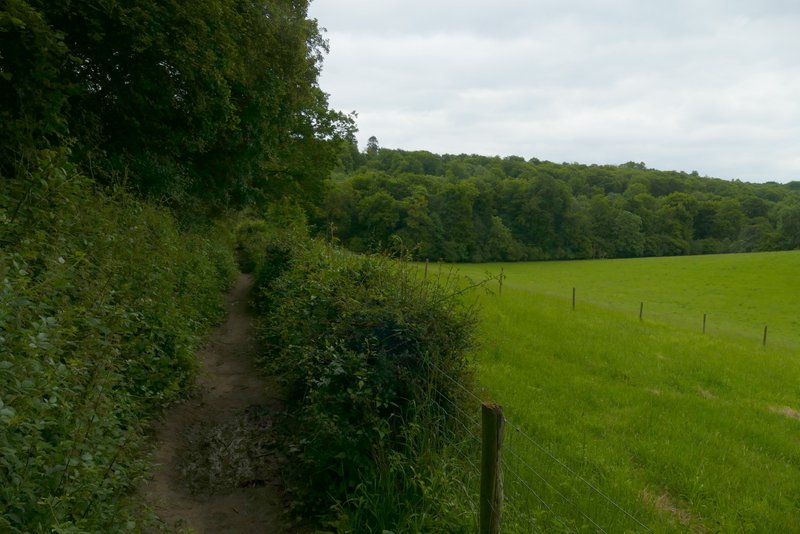
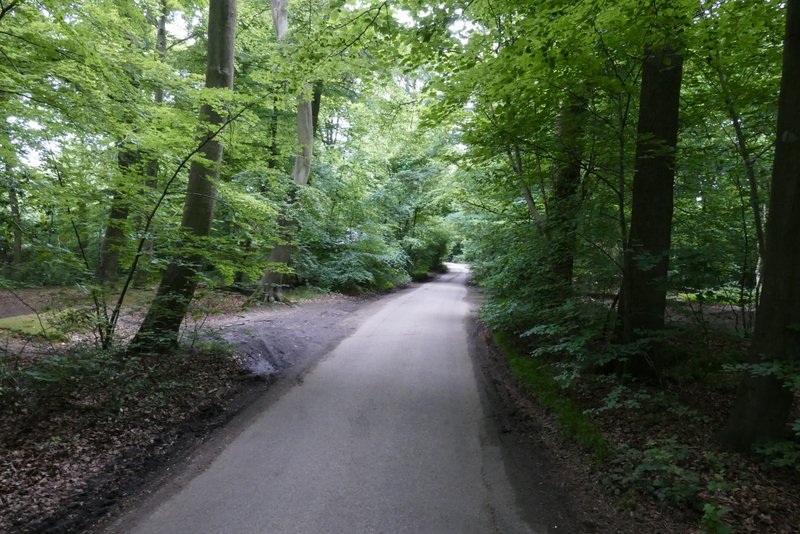
The path from Homefield Wood approaching Pullingshill Wood
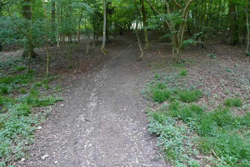
The path continuing up through Pullingshill Wood
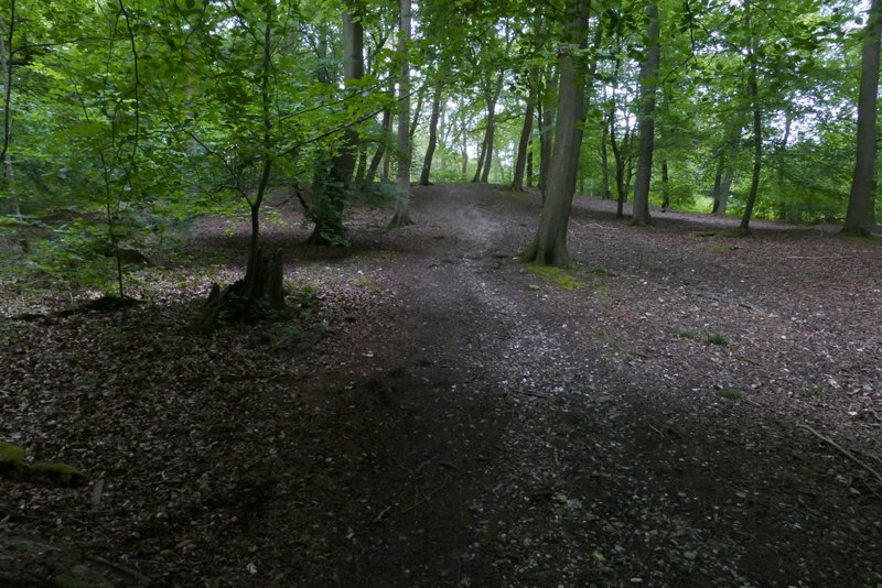
The path continuing up through Pullingshill Wood
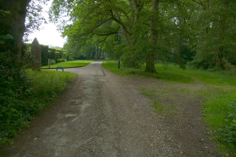
I turned left along the lane, which headed north with the wood on either side. On reaching a T-junction I went straight on along a bridleway that followed the western edge of the wooded Marlow Common. After a few hundred yards, by a large house on the left, the bridleway ran across some short grass just right of what was now a surfaced drive. At the end of the bridleway (and drive) I turned left, and followed Frieth Road for about a third of a mile, before turning right along a bridleway that followed the drive to Sunday Dean Farm. This dropped very steeply downhill into a valley, where I turned left along Mundaydean Lane.
The lane going north to Marlow Common
The bridleway along the western edge of Marlow Common
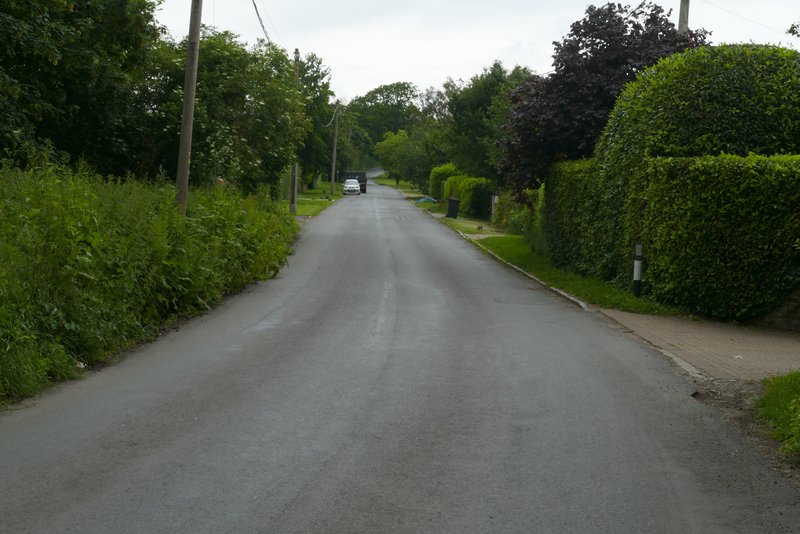
Frieth Road (the bridleway I took on the right is just out of shot, where the road goes slightly right)
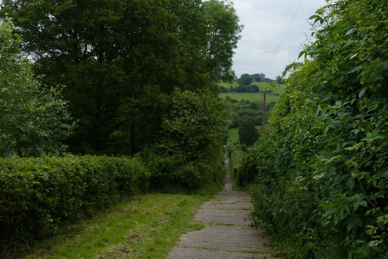
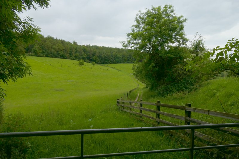
The drive to Munday Dean Farm
The drive to Munday Dean Farm