Pete's Walks - Ashridge and Berkhamsted Common (page 3 of 5)
If you are considering walking this route yourself, please see my disclaimer. You may also like to see these notes about the maps and GPX files.
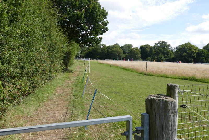
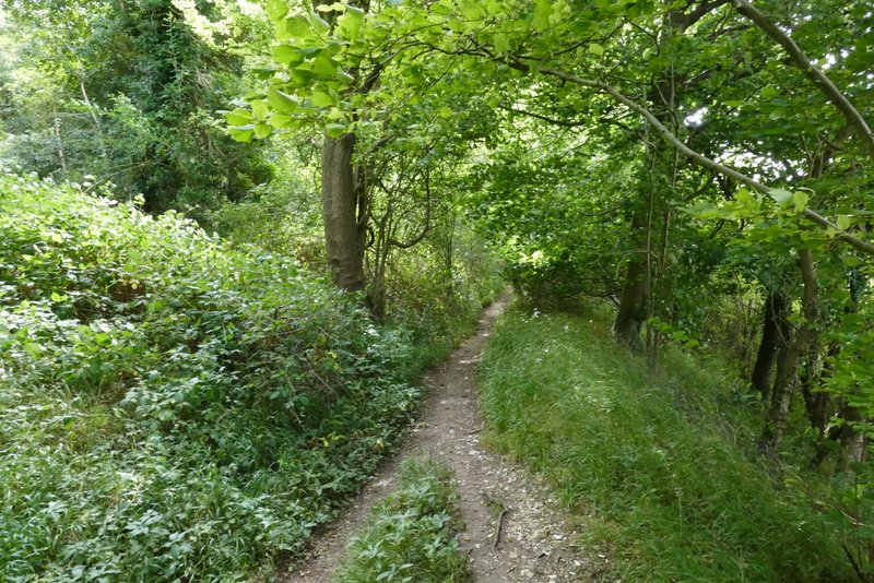
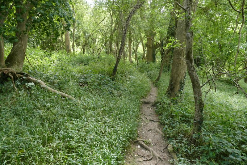
At the end of the tree belt the path turned left (I noticed that a permissive path went right here, linking up with the path I usually take when I'm in this area). I had another ploughed field to my right here. On reaching a field corner I went straight on, with a large paddock to my right (over a wire fence), the formerly level path now starting to descend slightly. The path then turned half-left into a wood, soon reaching the bottom of a small valley and starting to go up the other side. Leaving the wood, the path continued uphill across Alpine Meadow nature reserve (I've only walked this path once or twice before and that was many years ago, I didn't remember this nature reserve at all). Beyond the small nature reserve, the path flattened out again and ran along the left edge of a number of paddocks (one of which had some colourful Show Jumping fences in it).
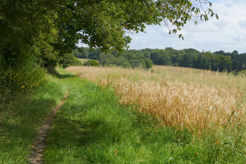
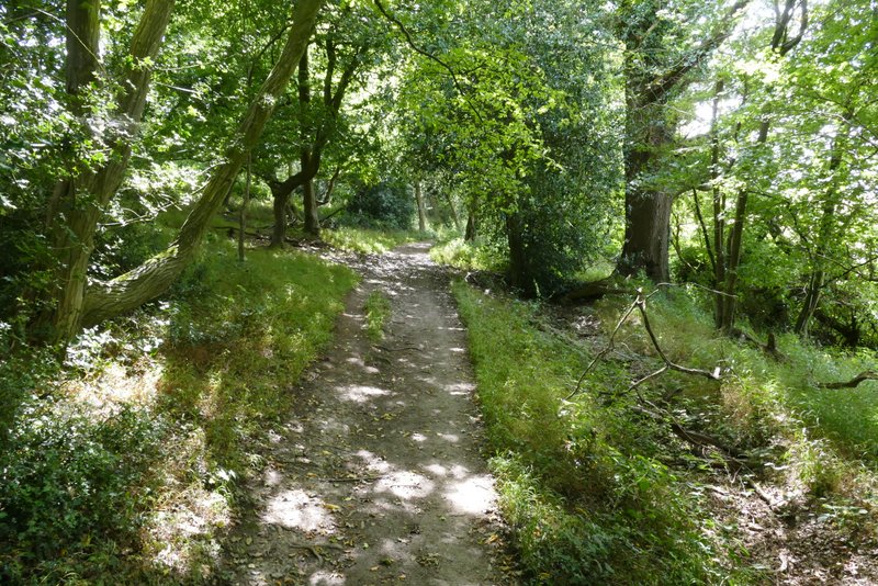
Further along the same path after it turns left (where a permissive path goes right)
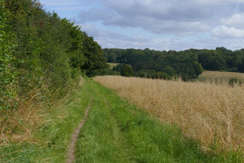
Further along the same path
Further along the same path
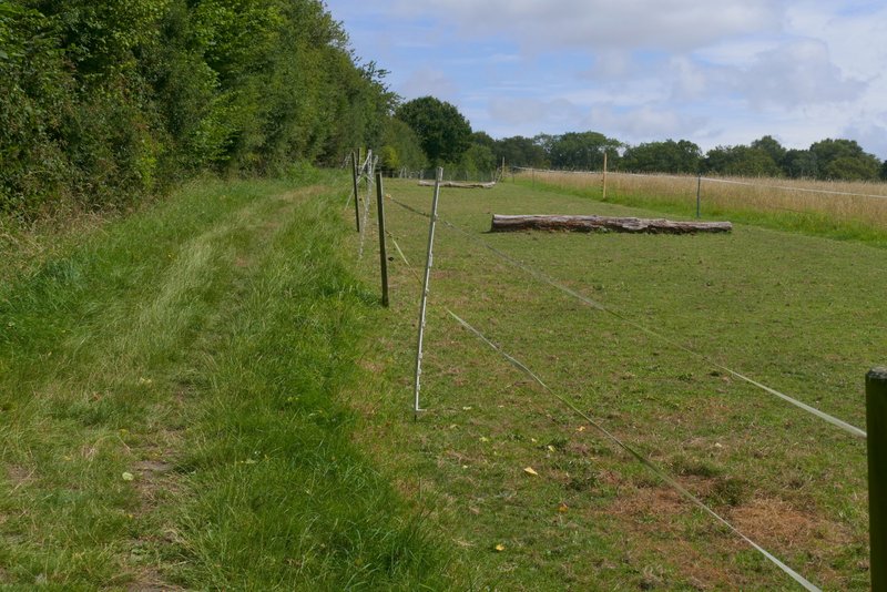
View on the right from the same path
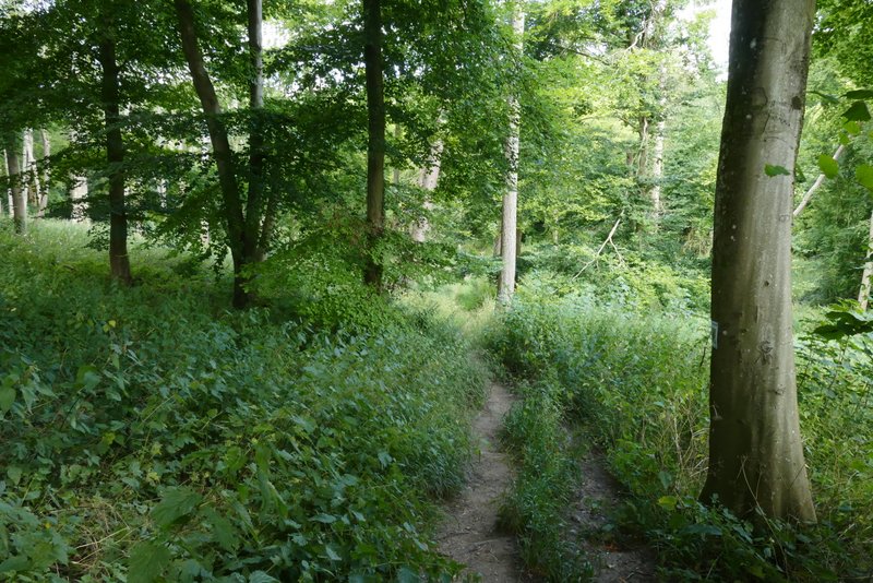
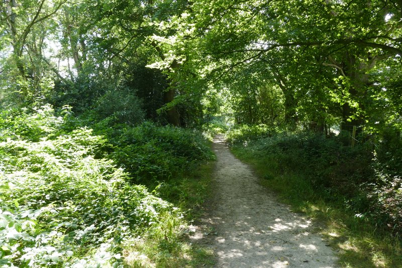
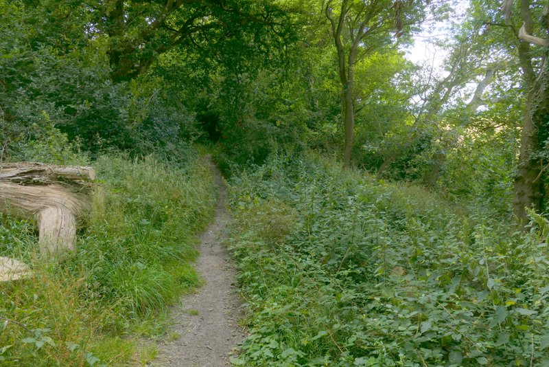
The same path, where it goes through a wood
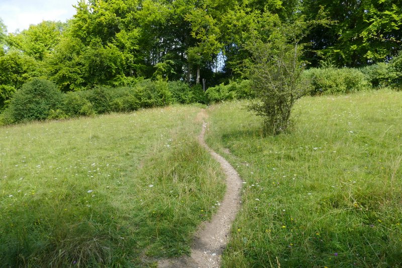
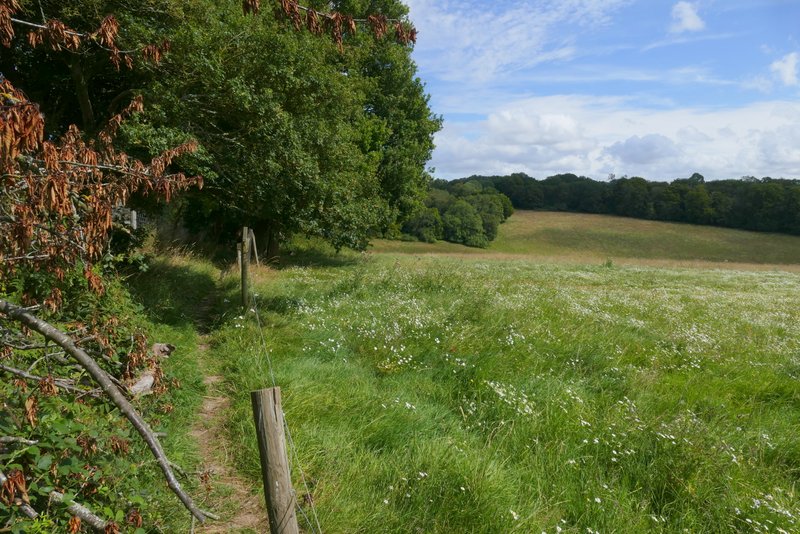
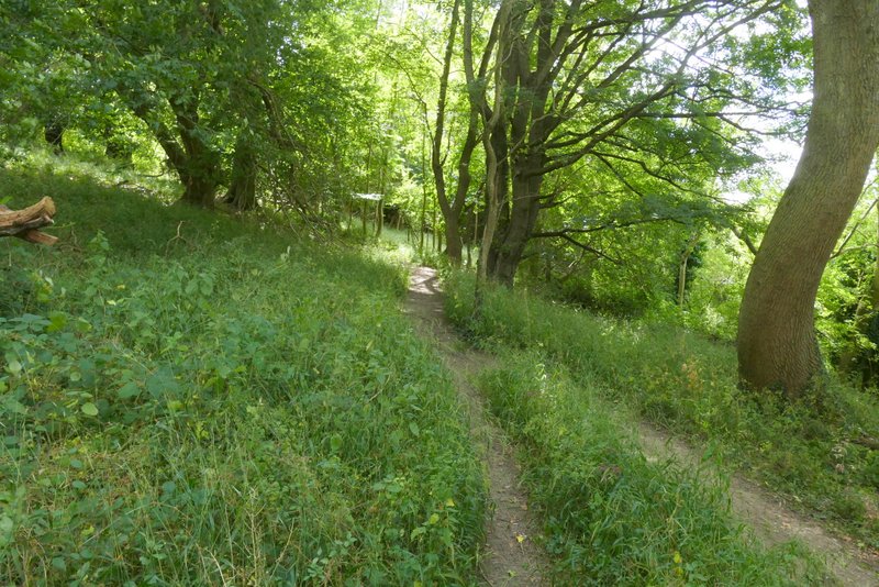
The same path crossing Alpine Meadow nature reserve
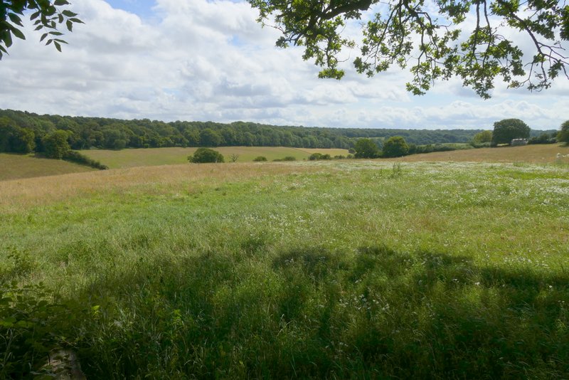
Looking left at Alpine Meadow nature reserve
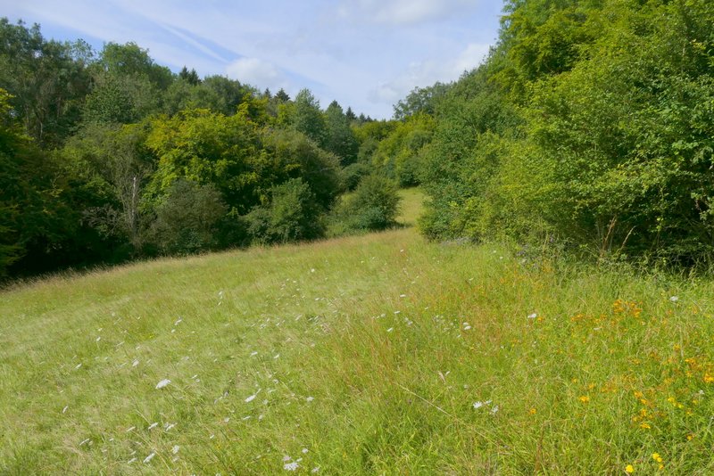
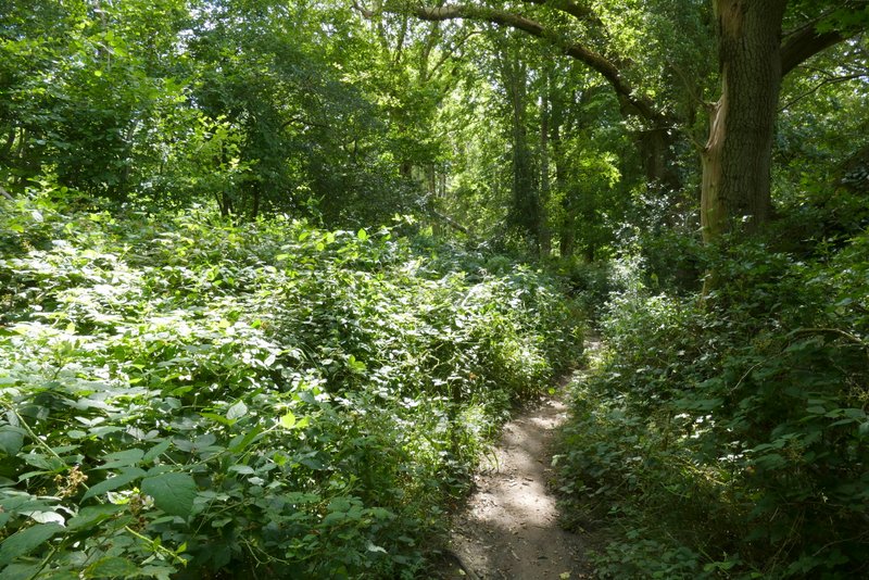
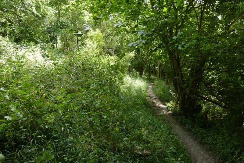
The same path continuing from Alpine Meadow nature reserve
The same path continuing from Alpine Meadow nature reserve
Beyond the last paddock I re-entered the woods again - the woods to my left are named Berkhamstead (two 'a's) Common on the OS Map, those to my right are named Berkhamsted (one 'a') Common. I turned right onto a bridleway and headed into the woods of Berkhamsted Common. I soon came to a drive or track, which the bridleway followed to the left, but I went straight on along an obvious path just inside the woods with fields nearby on my right (this path isn't shown on the OS map, but this is an Open Access area). I soon came to the point where the path I usually take in this area came in on the right (curiously the OS map shows it becomes a bridleway to my left). I went straight on, still following a delightful path just inside the woods with fields to the right - I'm pretty sure that after the path crossroads this was a public footpath, although the OS map seems to show it running along the edge of the fields rather than in the wood. A third of a mile or so after that path crossroads, a second footpath came in on the right (and again the OS map shows it becomes a bridleway to the left). Again I went straight on, the path just inside the wood still being very clear though again it was not on the OS map (but still in an open Access area). Eventually I reached a crossing bridleway (close to Well Farm on my right, and with a road a short distance ahead of me), where I turned left.
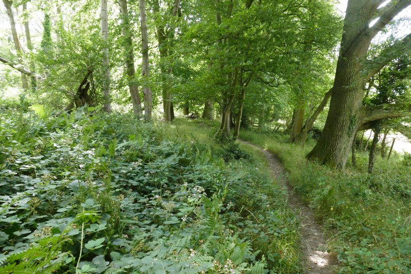
The bridleway after I turned right, along the southern edge of the woods on Berkhamstead Common
Further along the same path
Further along the same path
Further along the path, near where I crossed the first footpath
Further along the path
Further along the path
Further along the path, just after crossing a second footpath
Further along the path
Further along the path
Further along the path
Further along the path