Pete's Walks- Studham Common and Nettleden (page 3 of 5)
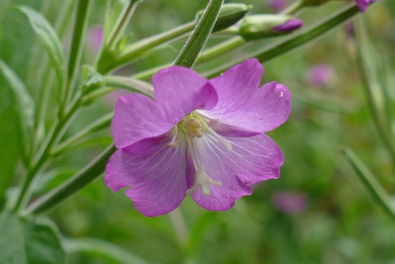
I very carefully crossed over the road, and went a few yards right, then turned left through a gap in a hedge to go down a short alley that led to a gate on the left, where I entered a large water meadow. Here I went half-right to a footbridge over the river Gade. On the other side of the bridge I went straight on in the same direction. On reaching a corner of the water meadow I turned half-left to follow the path up to Highpark Wood, with a hedgerow to my right. On entering the wood I continued straight on up the slope (another path went left just inside the wood), the path running just inside the right edge of the wood. I spotted some Great Willowherb growing here. After a few hundred yards I saw where a path went right, but I continued straight on. When I did get to where a second path went right, there was a path going left through the wood as I expected but no sign of a path going straight on (the OS map shows this path curving round just inside the end of the wood in roughly a semi-circle). Anyway, I took the path going right, which followed a hedgerow on my right for several hundred yards to reach a lane. I turned left and followed the lane downhill to reach Nettleden and a road junction by the village church.
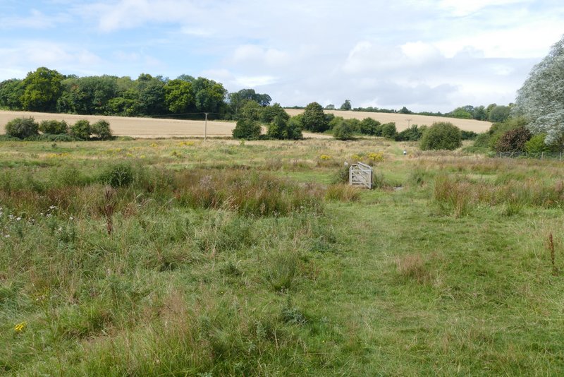
The water meadow at Water End, with the footbridge over the river Gade
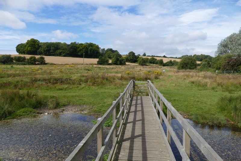
The footbridge over the river Gade
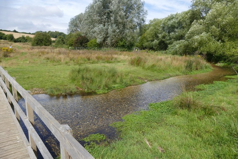
The river Gade
The river Gade
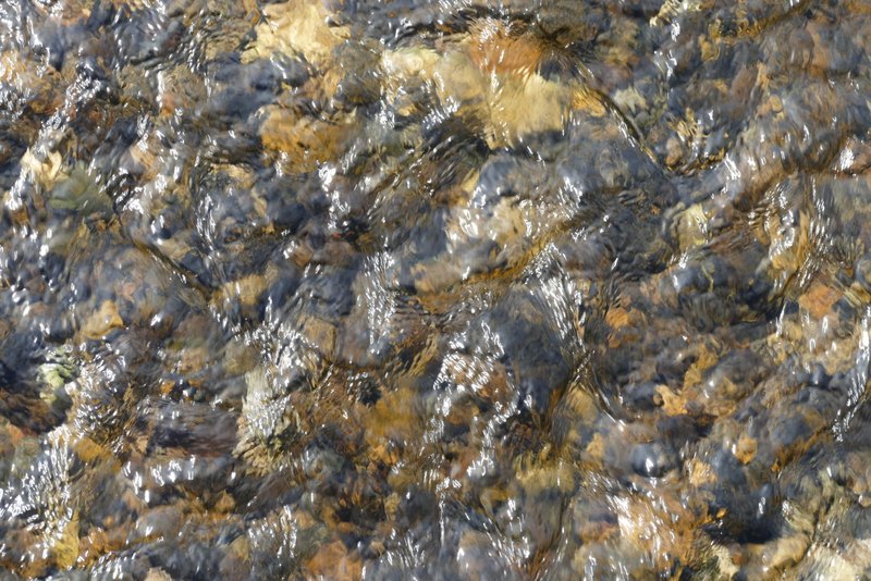
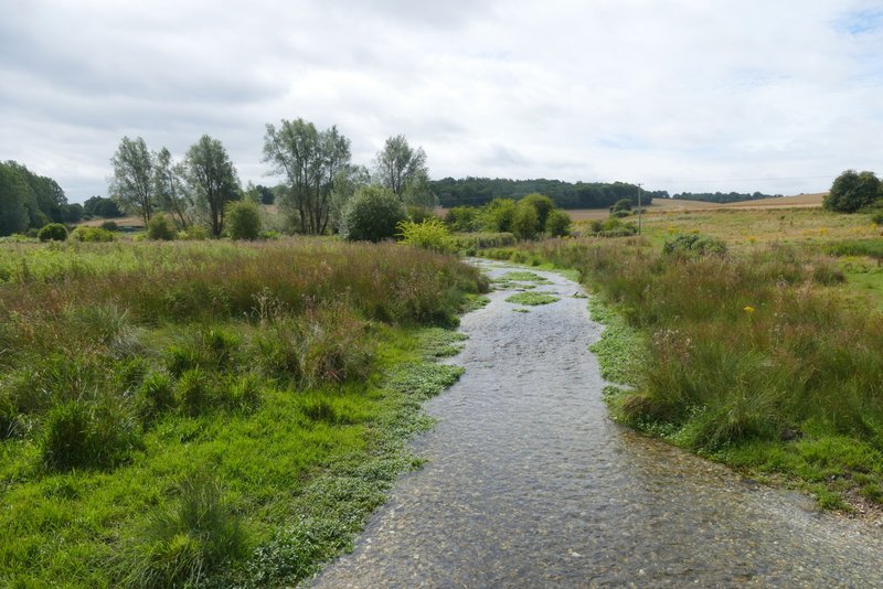
Clear water in the river Gade
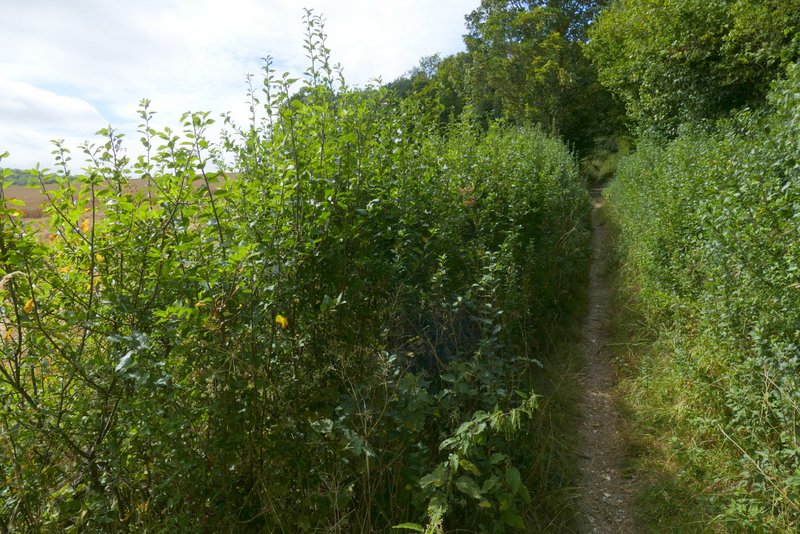
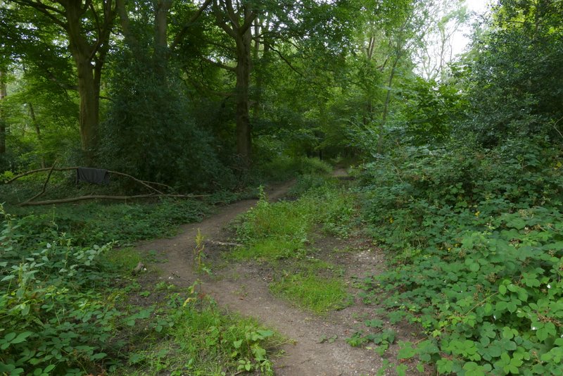
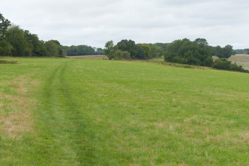
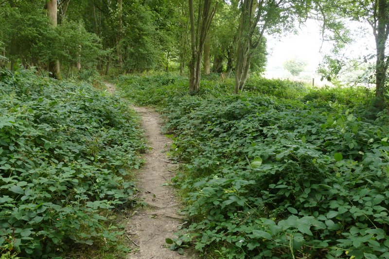
The path to Highpark Wood
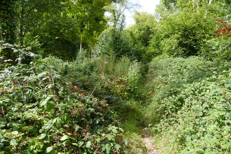
Highpark Wood
Highpark Wood
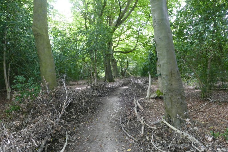
Highpark Wood
The path from Highpark Wood (second turning on right)
View from the path from Highpark Wood
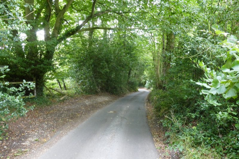
The lane down to Nettleden
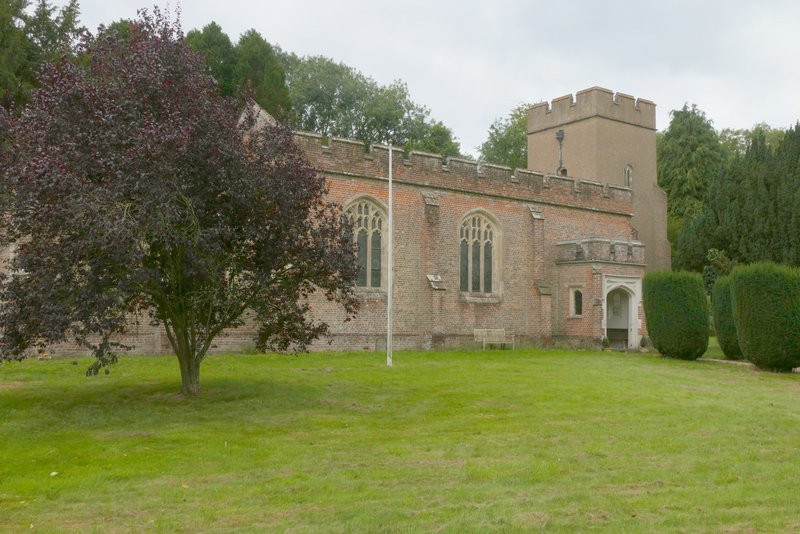
Nettleden church
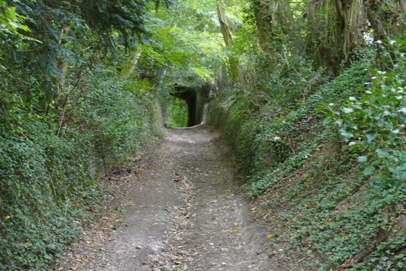
I went a short distance right and then turned left into what I believe is called Roman Road. This went uphill, soon leaving the village. For much of the way uphill there were tall brick or stone retaining walls either side, and part way up the hill I passed under Devil's Bridge (I don't know the origins of the name, though the road is apparently known to locals as Spooky Lane). At the top of the hill I turned right onto a footpath, following a fence on my right and with a drive to some stables (I think) on my left.
The start of Roman Road, Nettleden
Roman Road, approaching Devil's Bridge
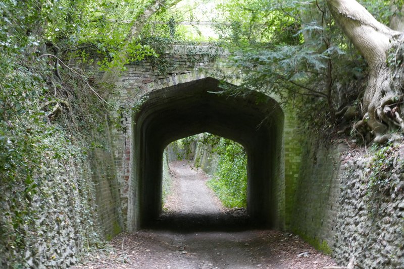
Devil's Bridge
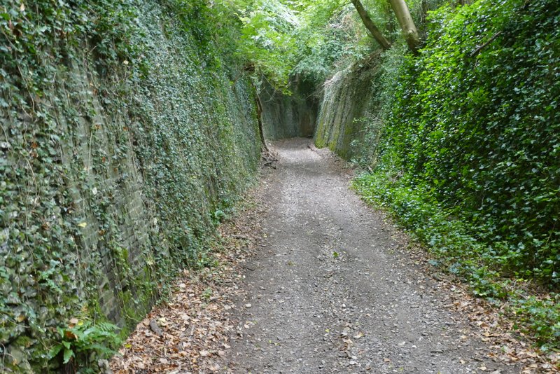
Further along Roman Road
The path after I turned right from Roman Road
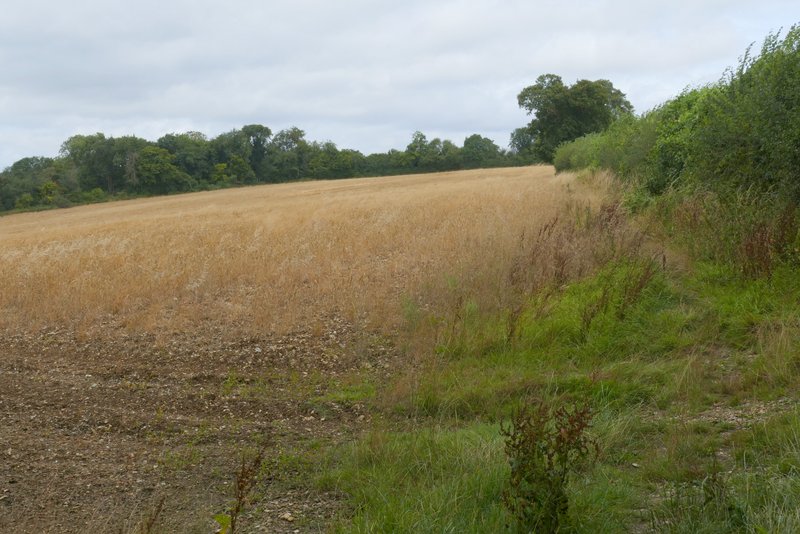
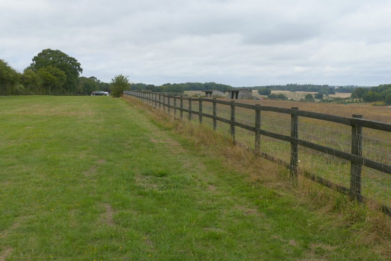
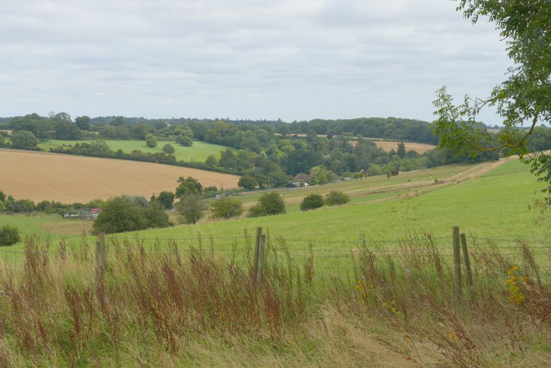
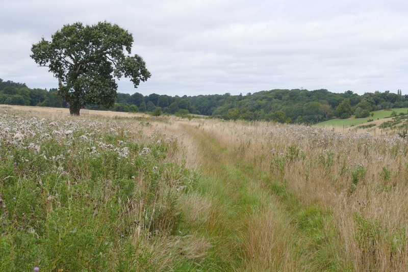
View across the Golden Valley, on the right
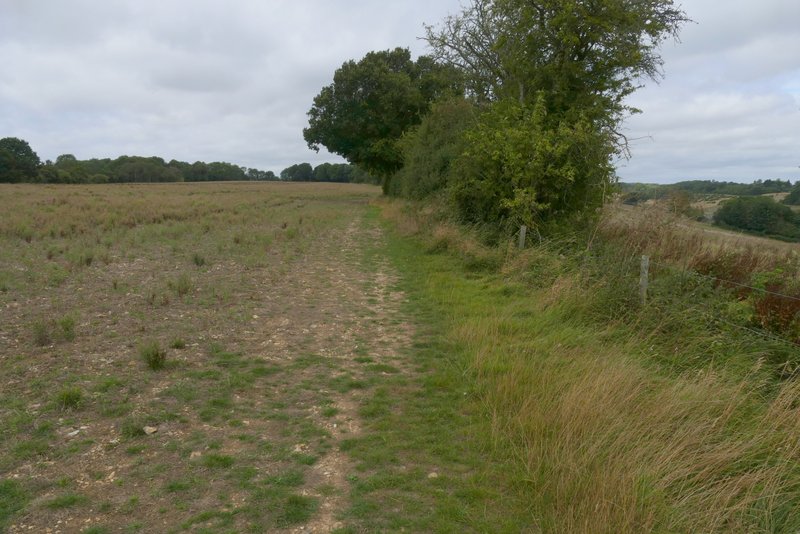
At the end of the drive I went through a pedestrian gate, and continued straight on through a large grassy field that sloped down to the Golden Valley on my right. The path led to a stile beyond which it followed a hedgerow on my right for almost half a mile to reach Webb's Copse. Beyond this small wood, the path went slightly left to reach a fence, which it continued beside.
Further along the path, with the Golden Valley on the right
The path continuing towards Webb's Copse
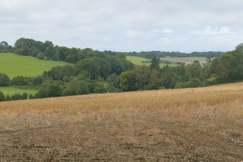
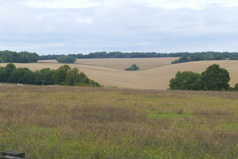
View looking back along the Golden Valley
The path continuing towards Webb's Copse
Webb's Copse
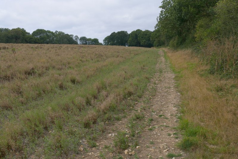
The path continuing from Webb's Copse