Pete's Walks - Bledlow Ridge and Aston Rowant (page 3 of 6)
If you are considering walking this route yourself, please see my disclaimer. You may also like to see these notes about the maps and GPX files.
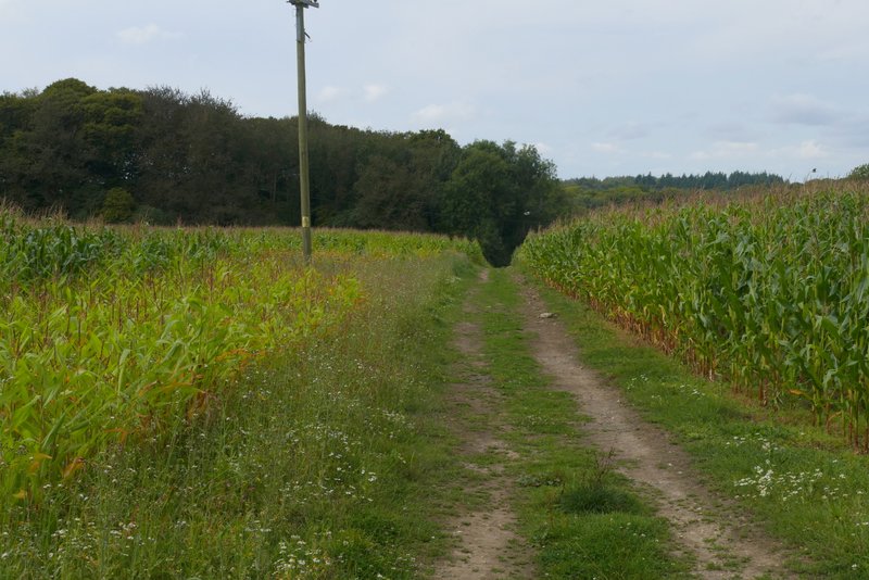
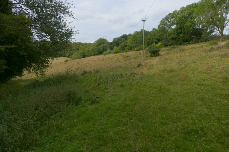
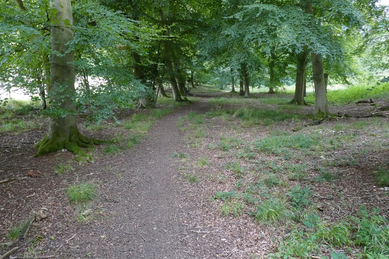
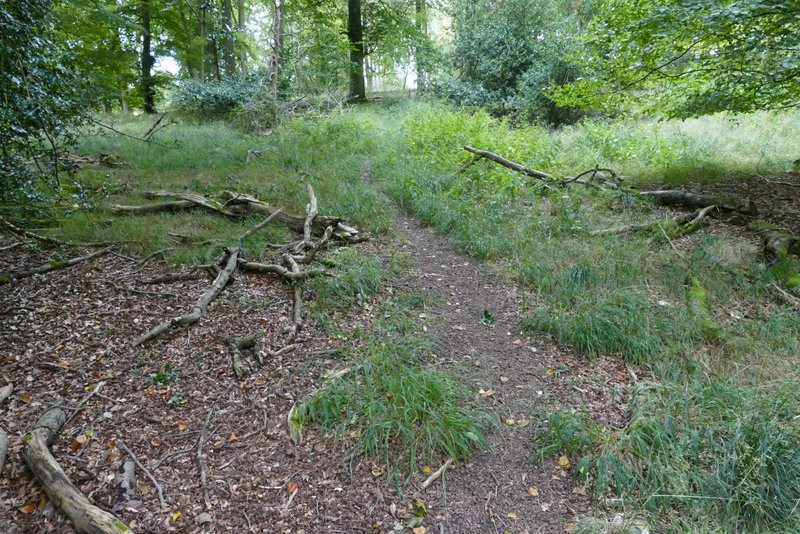
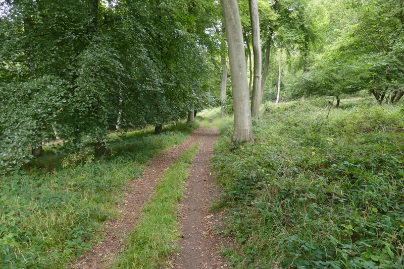
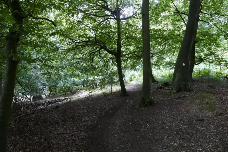
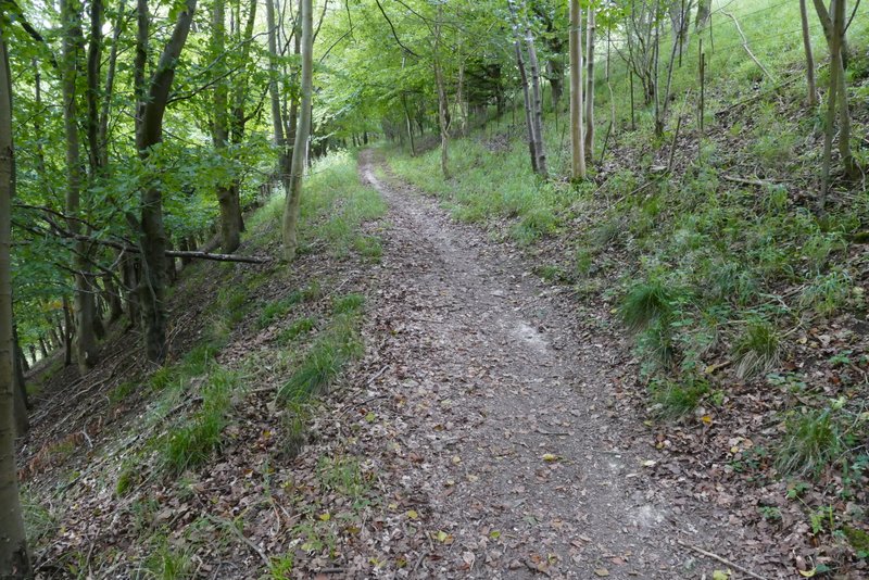
Shortly after crossing over the M40, I took a footpath going down Mill Lane on the right. This began as a gravelled drive past a few houses, but beyond a gate it became a grassy track between hedgerows. At the end of the track I continued straight on (back on familiar territory once more) through a field of maize to reach a wood. On entering the wood I immediately forked right. Straight away the path left the wood, going over a stile and crossing an empty sheep pasture, then turning left along its far side (there was some Marjoram here, amongst other wildflowers). I always enjoy this path, as it has a nice view to the left over the end of a valley, with more sloping fields topped by woods. After a while the path went over a stile and gently descended through North Remlets Wood (I could only see the path for a few yards ahead of me, as the grass either side hung over it and hid it from view). It followed a wooded valley bottom for a short while before turning left (white arrow on tree) and rising uphill. This wasn't too steep, and the path soon turned right to rise fairly easily through more woods (the OS map shows Langleygreen Plantation to the left, Hailey Wood to the right).
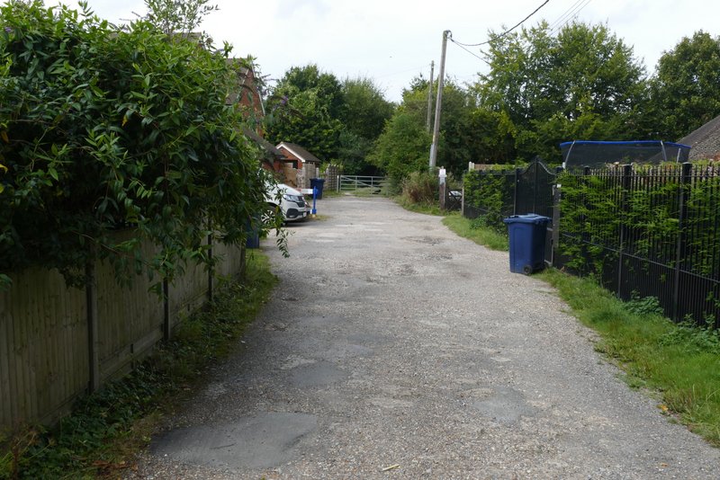
Mill Lane
The path continuing on from Mill Lane
The path after I forked right, heading to North Remlets Wood
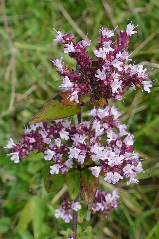
Marjoram
The path heading to North Remlets Wood
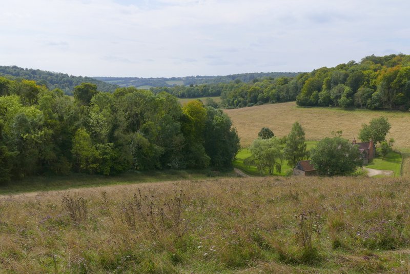
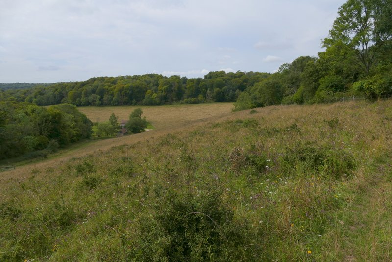
View from the path heading to North Remlets Wood
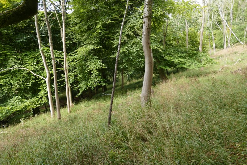
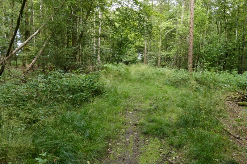
The path continuing through North Remlets Wood
North Remlets Wood
North Remlets Wood
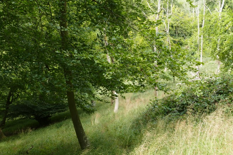
Langleygreen Plantation (or Hailey Wood, the OS map doesn't show the boundary between them)
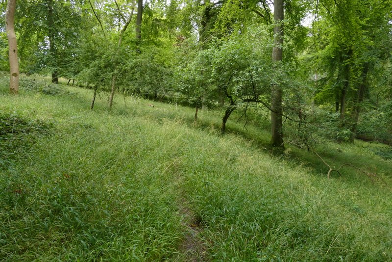
Langleygreen Plantation (or Hailey Wood, the OS map doesn't show the boundary between them)
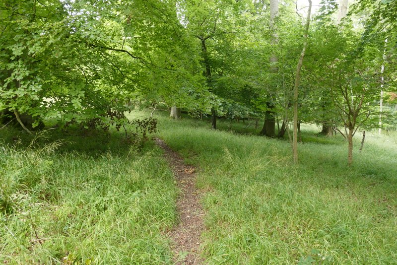
Langleygreen Plantation (or Hailey Wood, the OS map doesn't show the boundary between them)
On reaching a path T-junction I turned right on to a bridleway. I followed it for some distance through the wood, until it reached a safety barrier next to a road. I could have simply stepped over the safety barrier here and turned right, but following my mantra of "The walk, the whole walk and nothing but the walk" I followed the bridleway alongside the safety barrier for another 150 yards to where they both ended, then came back along the road side of the barrier (I've decided this is silly and will just step over the barrier next time!). The road soon crossed over the M40, then after a few hundred yards I took a footpath on the left. This went up a flight of concrete steps and then continued through a wood to reach a drive (leading to the main car park for the Aston Rowant nature reserve), where I turned left
The bridleway through Hailey Wood, after I turned right at the end of the path
The bridleway through Hailey Wood
The bridleway through Hailey Wood
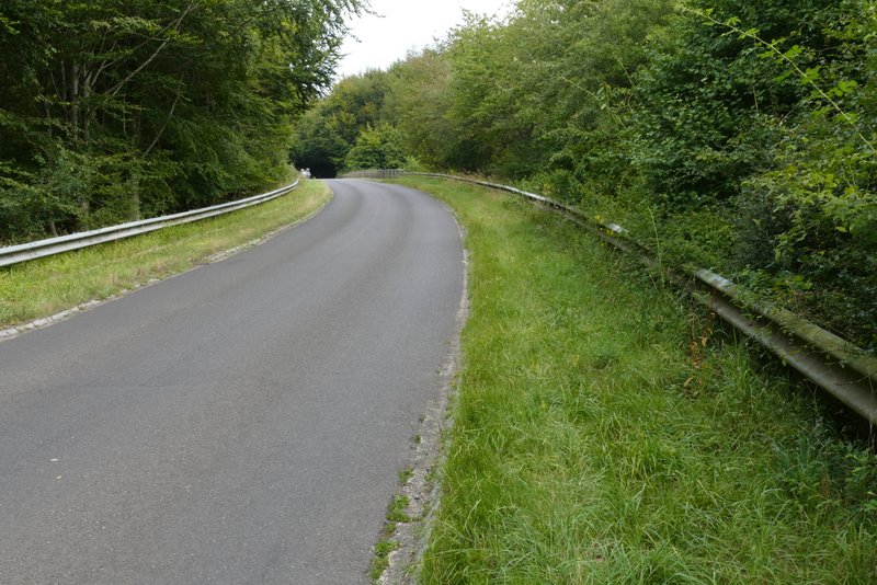
The road after I turned right, approaching the M40 crossing
The path after I went up the steps to the left of the road