Pete's Walks - Whiteleaf Hill and Loosley Row (page 3 of 3)
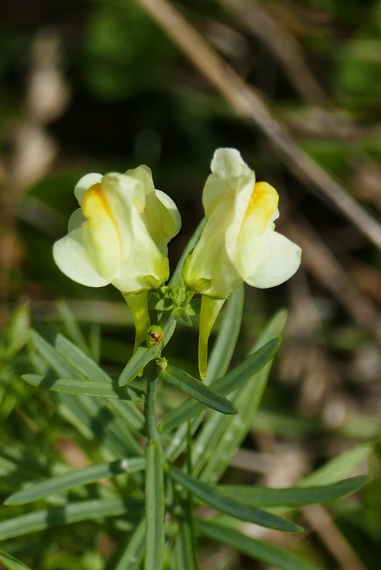
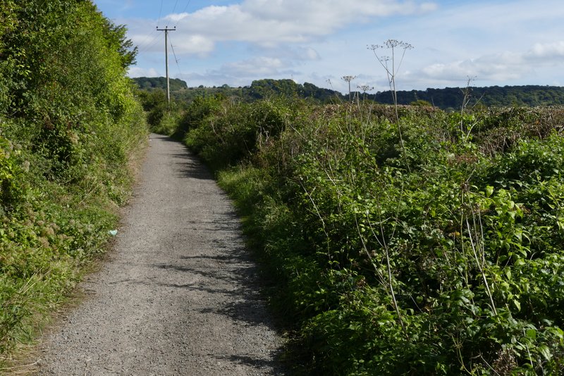
Across the road a path continued across a large field - there was no sign of the path, but I just aimed at a tree at the left end of a hedgerow. On reaching the tree, I turned right onto a bridleway, a pleasant grassy track following an intermittent hedgerow on my right between large fields, heading north, parallel to theA4010 across the fields to my right. I saw some Common Toadflax growing here. The bridleway ended at a lane where I turned right, rejoining the route of the Ridgeway National Trail (which I'd now follow for the rest of the walk). I went straight on at a crossroads to reach the A4010 Wycombe Road again.
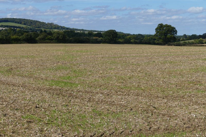
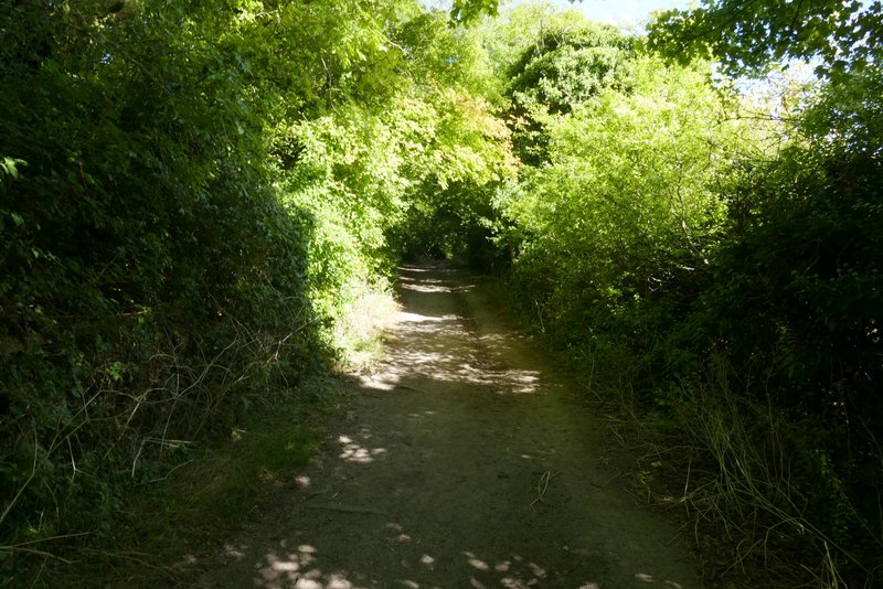
The path after crossing the A4010 (I just headed to the tree on the right)
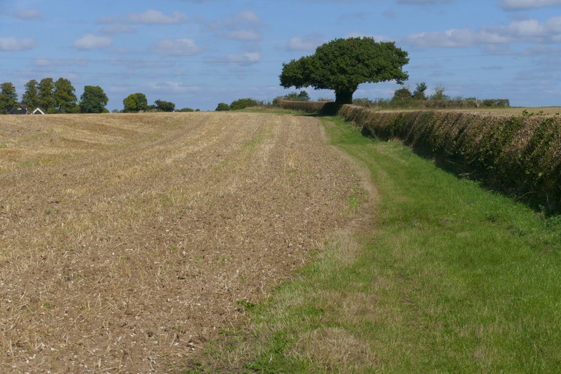
The bridleway going north, parallel to the A4010
The bridleway going north, parallel to the A4010
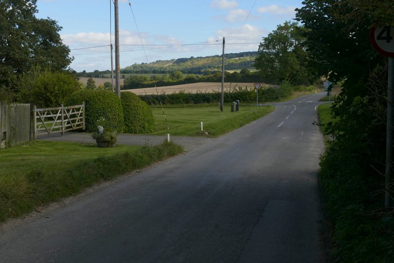
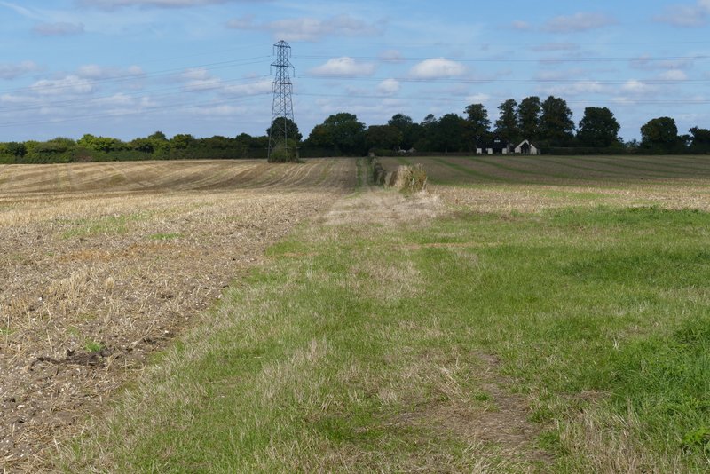
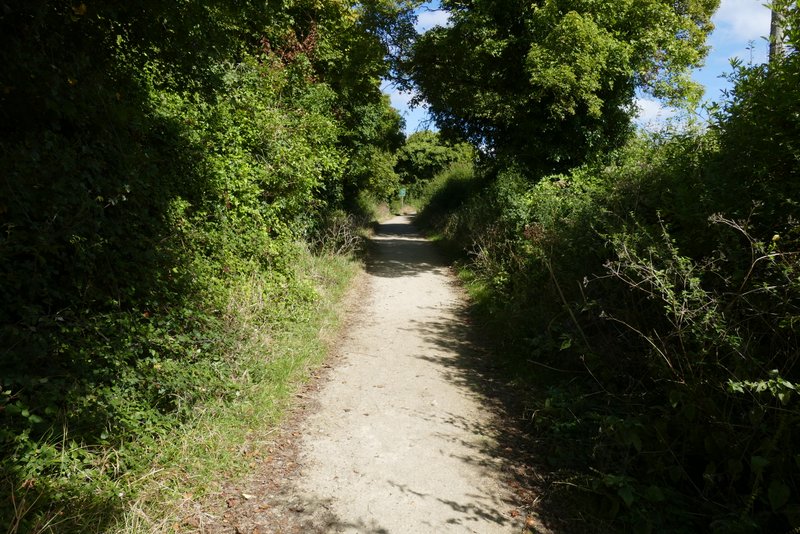
The lane approaching the crossroads
The lane approaching the A4010
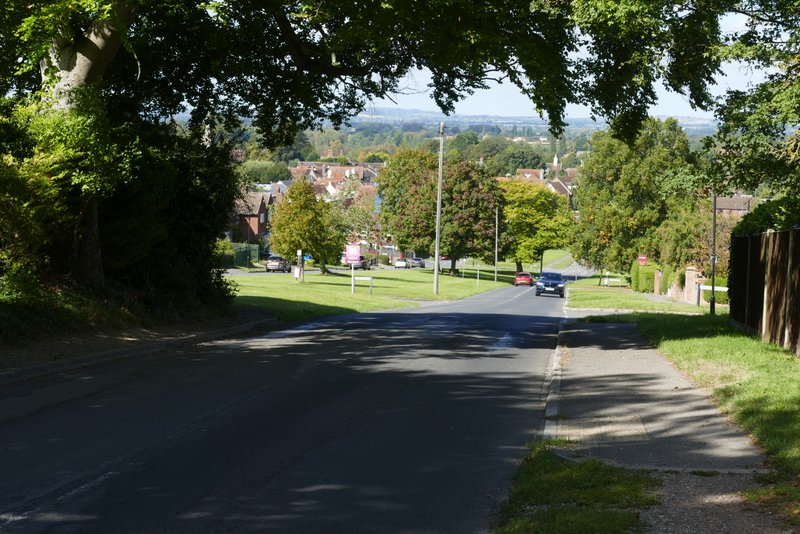
I crossed over and turned left along the pavement beside the road, heading towards Princes Risborough which I could soon see ahead. Shortly before reaching the edge of the town, a path went half-right across a corner of a field of stubble. I then turned right, along a chalky public byway on the edge of the town. I passed a school on the left, and then crossed a road (with a view to the town centre to my left). The byway continued with the town to the left, but after maybe a quarter of a mile I turned right (still on the Ridgeway), following a hedgerow towards the wooded lower slopes of Brush Hill. To my left I had a view of Whiteleaf Cross, a large chalk figure etched out of the slopes of Whiteleaf Hill.
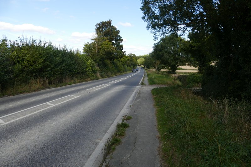
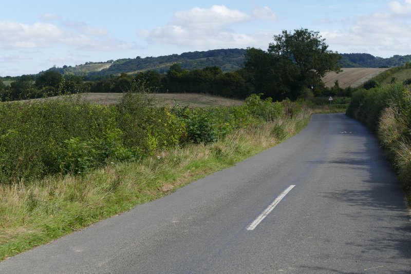
A4010 approaching Princes Risborough
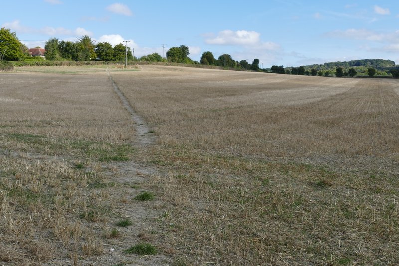
The path from the A410 to the edge of Princes Risborough
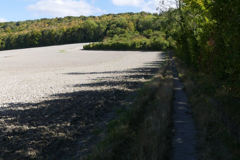
The public byway on the south-eastern edge of Princes Risborough
The public byway on the south-eastern edge of Princes Risborough
Looking left towards Princes Risborough, from the road crossing
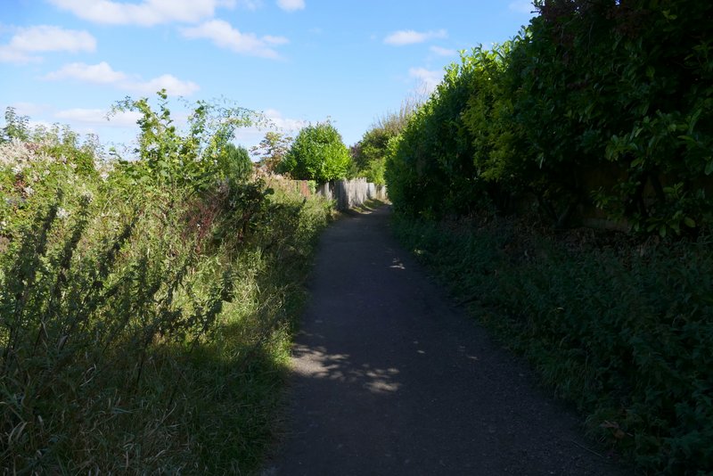
The public byway on the south-eastern edge of Princes Risborough
The public byway on the south-eastern edge of Princes Risborough
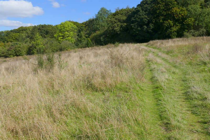
The path after I turned right from the byway
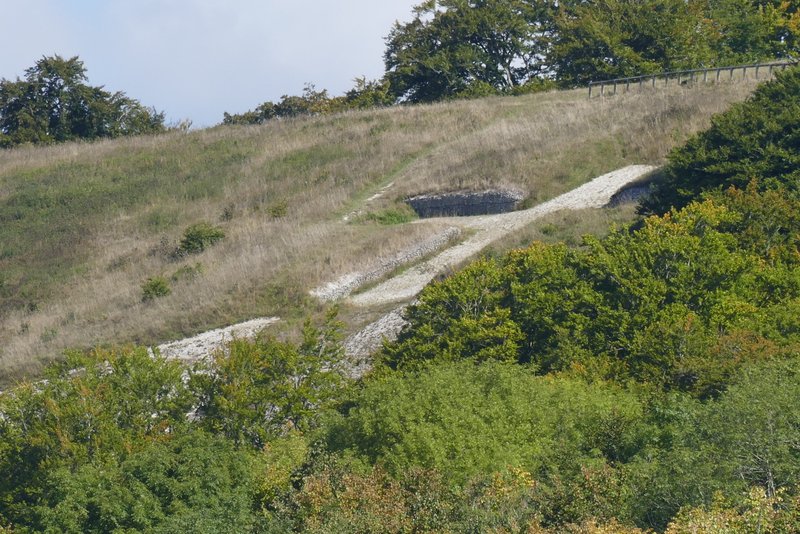
Zoomed-in shot of Whiteleaf Cross on Whiteleaf Hill
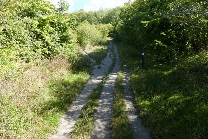
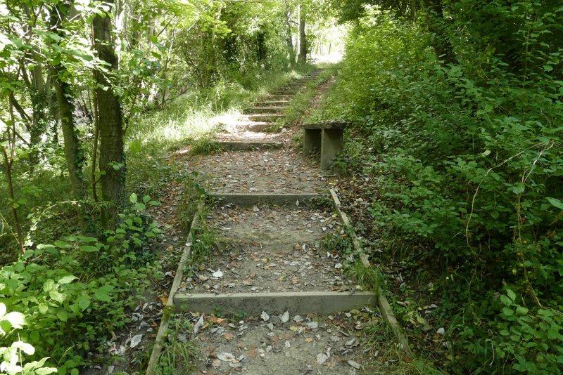
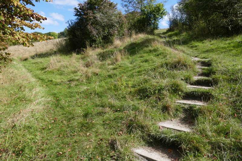
Beyond a large field, the path went through a small area of scrub enclosed by hedges, then started more steeply up through the woods of Brush Hill (that name is not shown on the map, but it's the name of the nature reserve at the top of the hill). I went straight on where paths went off either side, so I was always heading uphill. There were steps in places, to make the going a little easier (I counted over 120). Emerging from the woods I reached an area of open grass where the slope gradually eased. On the far side of the grass I reached a viewpoint and a bench. It was then just a few yards through the trees (I took a right fork after a metal gate) to reach the road up Whiteleaf Hill, and the car park on the far side.
The path up Brush Hill
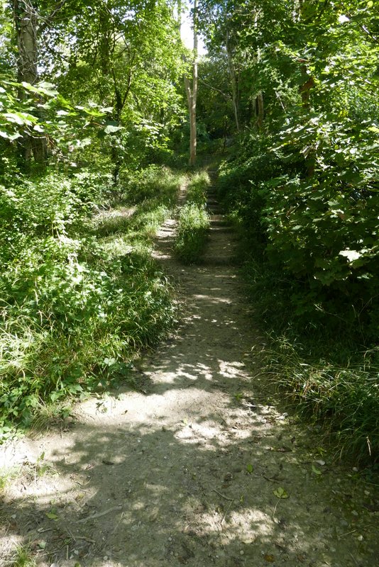
The path up Brush Hill (I counted over 120 steps in this wooded section)
The path up Brush Hill
The path up Brush Hill
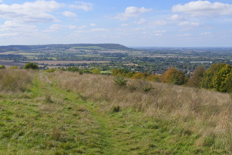
Approaching the top of Brush Hill
Approaching the top of Brush Hill
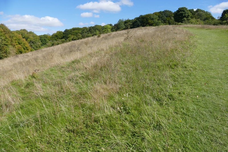
View from the top of Brush Hill
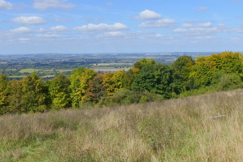
View from the top of Brush Hill
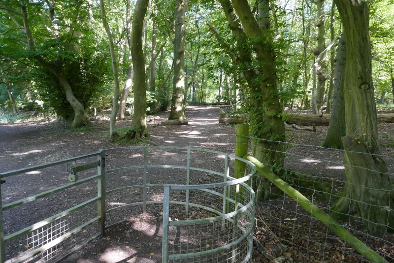
The path to the road and car park on Whiteleaf Hill (I took the right fork here)
The walk had taken me about 2 hours and 45 minutes which was 25 minutes longer than when I first walked it 12 years ago (but the same time as when I did it in 2022). It had been a beautiful day for a walk, with sunny skies the whole time and pleasant temperatures. The short section along the A4010 into Princes Risborough was the only unpleasant bit of the walk (though in my unfit condition the climb up Brush Hill at the end was a bit of a struggle!). It's certainly a walk I'd be very happy to do again.
This walk can be combined with a 6-mile walk from Whiteleaf Hill to Little Hampden and back, forming a very pleasant 13-mile route.