Pete's Walks- Kensworth, Roe End and Bison Hill (page 5 of 5)
If you are considering walking this route yourself, please see my disclaimer. You may also like to see these notes about the maps and GPX files.
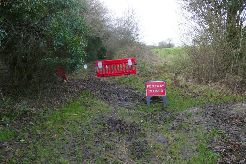
Eventually I reached a wire fence where I continued with the fence on my right. Through a metal-kissing-gate, I continued half-right to a second such gate, through which I turned right. I soon came to a fence corner, where I turned left and followed the fence uphill. On reaching a hedgerow I went through a gate on my right and followed the hedge past a few trees standing just inside a huge grass field. On coming to a corner after one or two hundred yards, I turned left through a gate, and started along a bridleway heading towards Whipsnade. This soon crossed a surfaced drive and a short way further on I came to a fork. I wanted to take the left fork, but that way was blocked by a barrier and a 'Footway closed' sign (presumably it was blocked by a tree or trees that had come down in one of the recent storms, this has been the windiest winter I can remember). So I started a slight diversion, by taking the right fork. This very soon joined a private road or drive, which I followed to the far end of a garden hedge, where I turned left into the tiny Sallowspring nature reserve. I followed the path through the two tiny meadows that make up the reserve
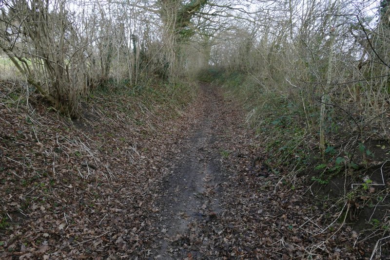
, then rejoined the private road or drive. After a few yards I took a footpath on the right, which soon turned left with Whipsnade Tree Cathedral on my right. On reaching a tarmac drive (until a year or two ago it was a gravel drive, and I think the double yellow lines along it look hideous, though I know why they are necessary) I turned left along it, then turned left alongside the road through Whipsnade. When part of the village green opened out on this left side of the road, I turned left and then left again in a corner, now starting the closed bridleway from its other end. After a hundred yards or so I came to a bridleway junction, where I turned right and rejoined my intended route (as I'd expected, the other end of the bridleway closure was immediately after this junction).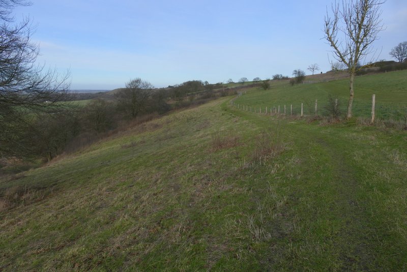
The path continuing along Whipsnade Downs
The path along the boundary between Dunstable Downs and Whipsnade Downs
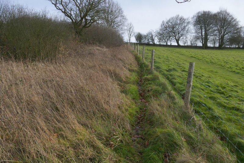
The path after I turned right, along the top of Whipsnade Downs
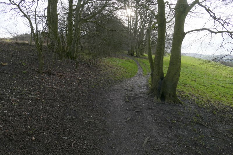
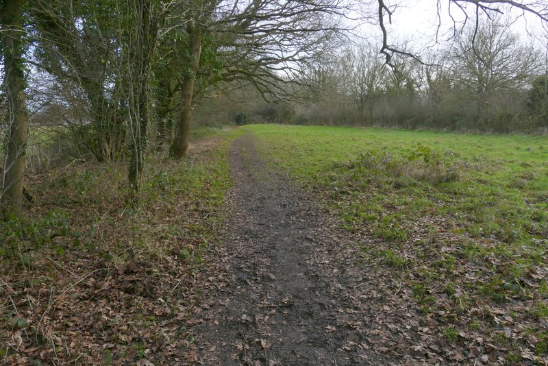
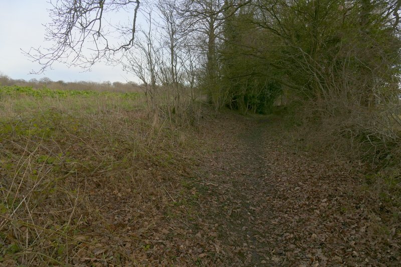
The start of the bridleway back to Whipsnade
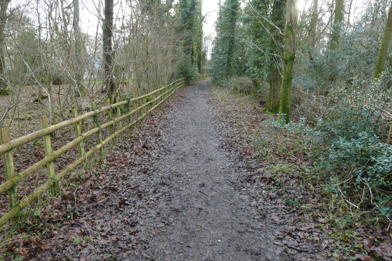
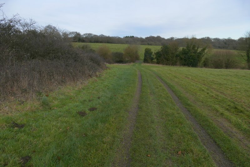
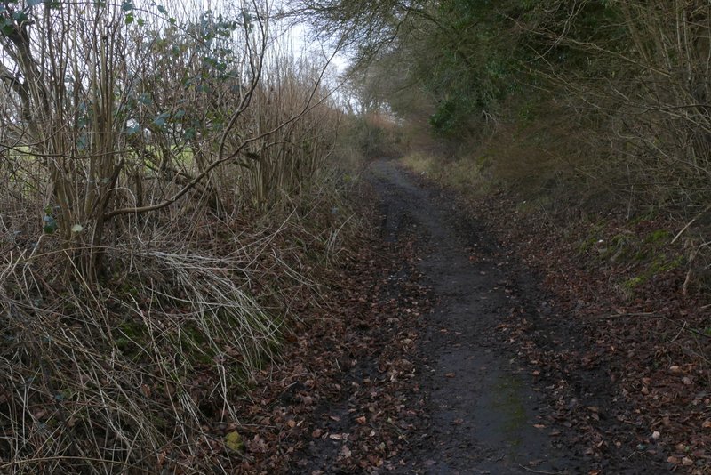
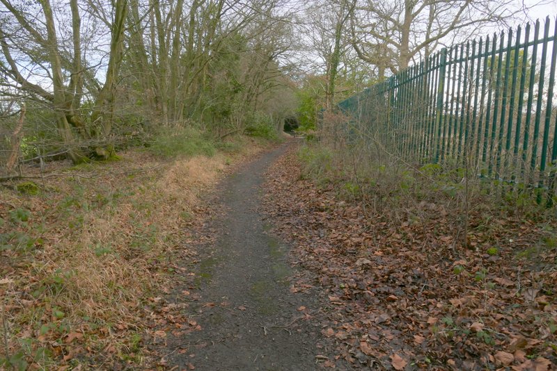
The bridleway back to Whipsnade
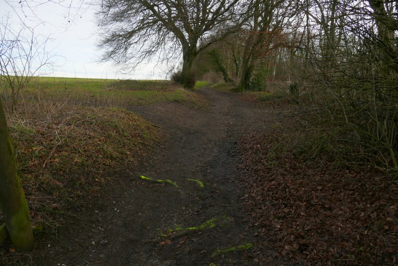
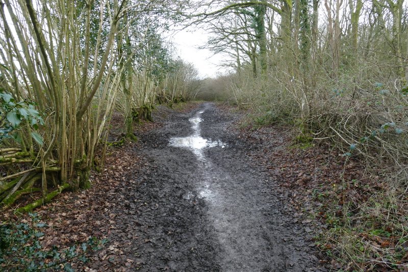
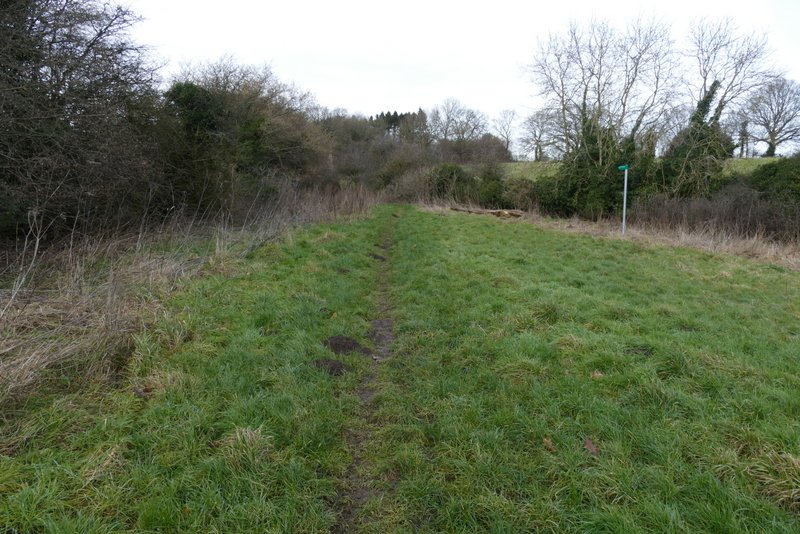
The start of the diversion I took, because the bridleway was closed
Private road approaching the Sallowspring nature reserve
Sallowspring nature reserve
Sallowspring nature reserve
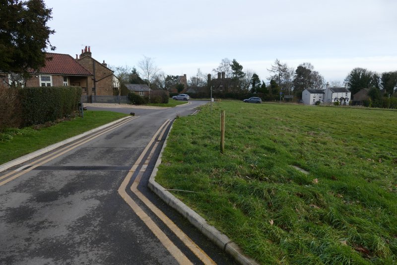
Whipsnade
Whipsnade
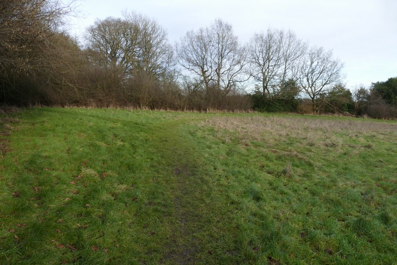
The start (or end) of the closed bridleway
Where the bridleway was closed (at a bridleway junction, where I went right and rejoined my intended route)
I followed the bridleway, which ran between hedges, for a few hundred yards to reach a road. Here I went left a short way, then turned right into Land Park Lane. I followed this all the way to its end, where I turned right and followed Common Road, Kensworth, back to my starting point.
Bridleway near Whipsnade
Bridleway near Whipsnade
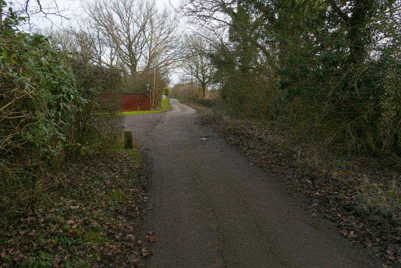
Land Park Lane
Land Park Lane
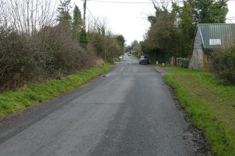
Common Road, Kensworth
I enjoyed this walk much more than I'd anticipated. I've walked all these local paths in the last few years so often that I thought I met get a bit bored, but that wasn't the case at all. It felt really good to get out into the countryside on a fine sunny day after all the wet and windy weather we've had recently (this day was sandwiched between Storm Eowyn and Storm Herminia!). The highlight was obviously the views from the Downs, but almost all the route was very pleasant with many views over charming countryside.