Pete's Walks - Coombe Hill and Prestwood (page 4 of 4)
If you are considering walking this route yourself, please see my disclaimer. You may also like to see these notes about the maps and GPX files.
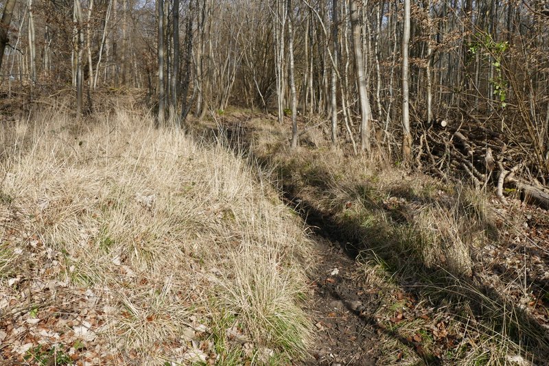
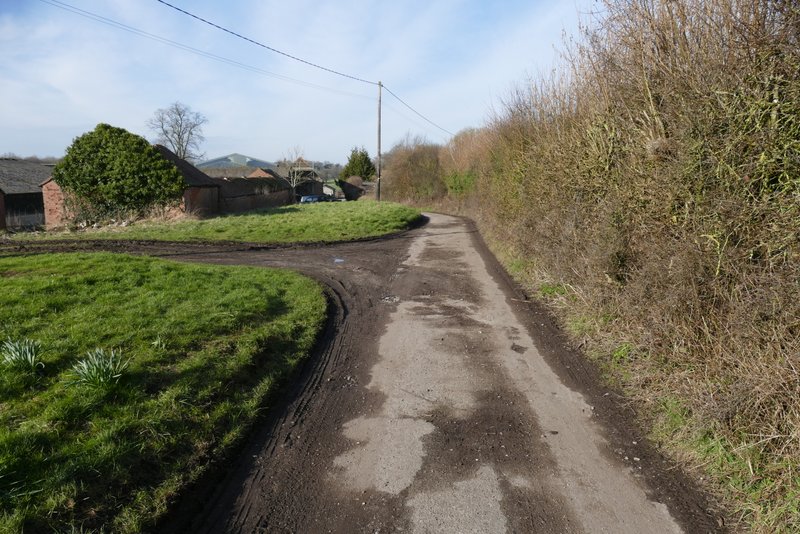
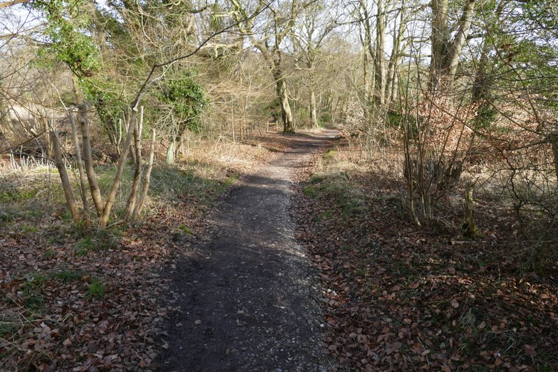
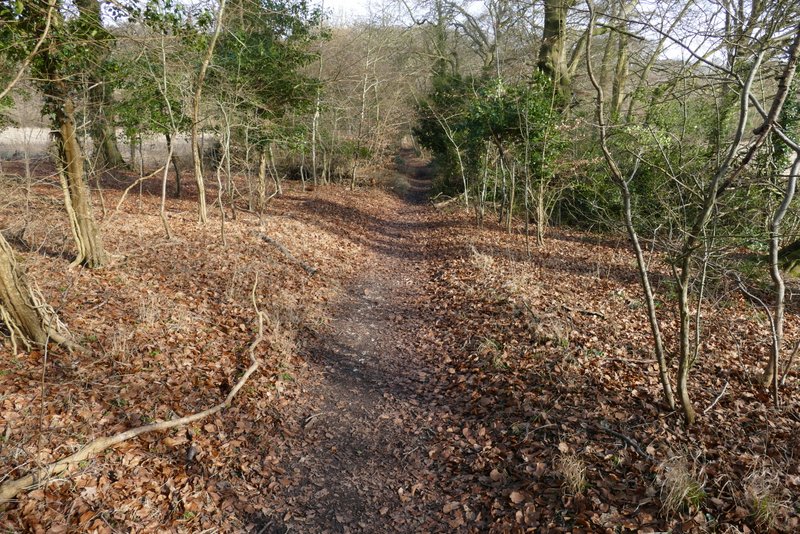
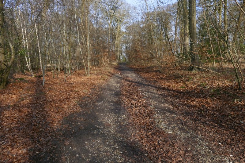
The bridleway ended at a road, where I crossed over and entered a small car park below the wooded slopes of Pulpit Hill. Within a few yards I turned right (up some 'steps') and followed another bridleway that ran almost parallel to the road over to my right. After a few hundred yards it turned right along a track for a few yards to reach a gate by the road - the bridleway went left here, still close to the road, but I took a footpath (not on the OS map) that went sharper left and cut off a shallow loop in the bridleway. This went a little way uphill through the woods. At a crossroads of paths I went straight on, now on a bridleway again. This took me through Pond Wood, turning right at one point and then continuing through a narrow section of the wood (where I could see Chequers to my left) to reach a minor road.
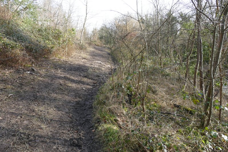
The bridleway close to the road, in Pulpit Wood
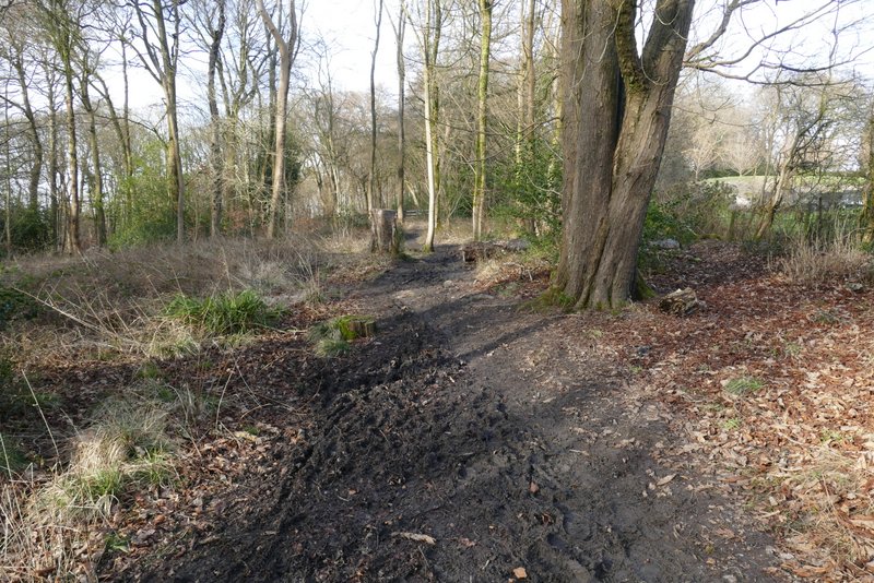
The short path after I turned left off the bridleway
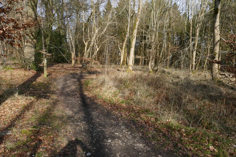
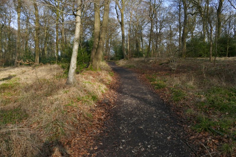
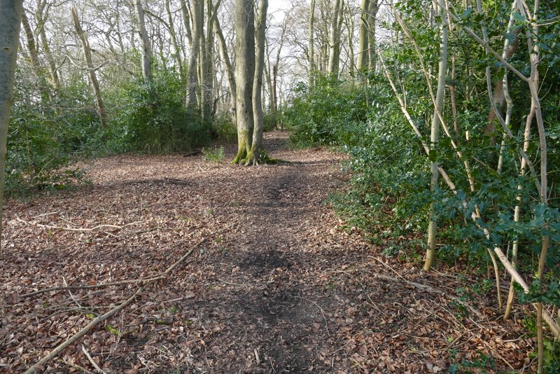
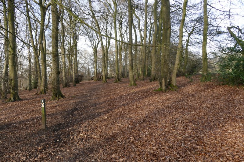
The bridleway in Pond Wood
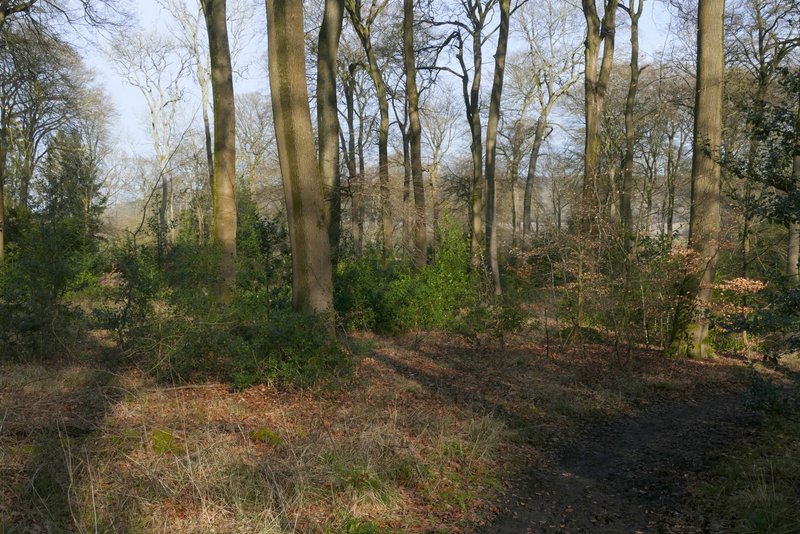
The bridleway in Pond Wood
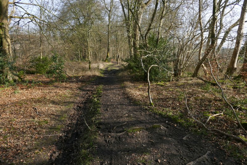
The bridleway in Pond Wood
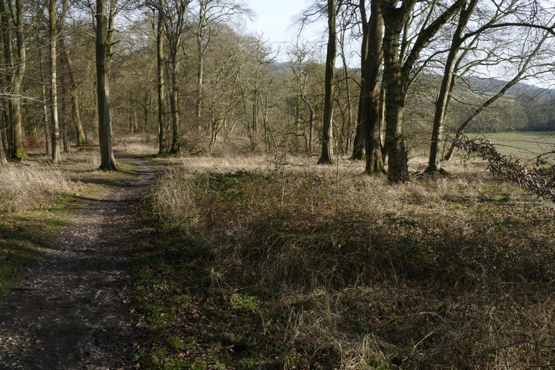
The bridleway in Pond Wood
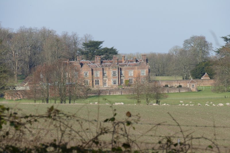
Chequers
I crossed the road and took a footpath on the other side. This went slightly left through a tree belt (another path seemed to continue through the tree belt, parallel to the road). The path then crosses a large field to a projecting corner just right of a farm house. On reaching the corner by the farmhouse, I went straight on, following the farm's garden boundary to reach the lane through Buckmoorend, where I turned left. At the end of the lane I turned sharply right onto a track, part of the Ridgeway. This ran through a tree belt for a while (I used the alternative walkers-only path through the tree belt just to the left today), then rose quite steeply uphill through part of Goodmerhill Wood. Near the top of the slope the Ridgeway turned left, and I followed its signposts (or white acorn symbols) for almost half a mile through Goodmerhill and Linton's Woods until I reached a road on Lodge Hill.
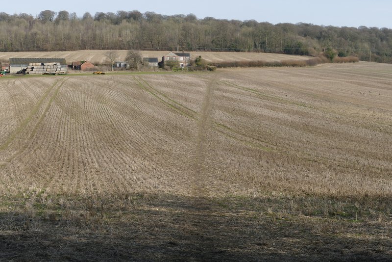
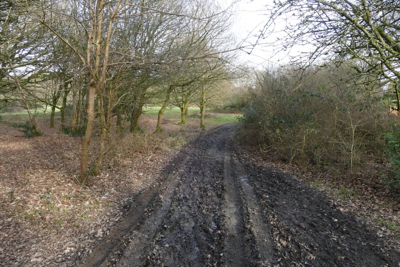
The path to Buckmoorend
The lane through Buckmoorend
The Ridgeway climbing uphill from Buckmoorend
The short alternative path next to the Ridgeway
The Ridgeway climbing uphill through Goodmerhill Wood
The Ridgeway climbing uphill through Goodmerhill Wood
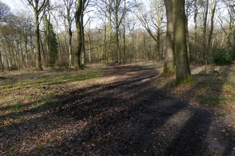
The Ridgeway in Goodmerhill Wood
The Ridgeway in Goodmerhill Wood
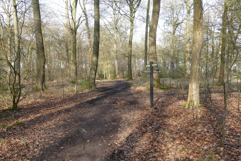
The Ridgeway in Linton's Wood
The Ridgeway shortly before reaching the road on Lodge Hill
I turned right and followed the road uphill for about a hundred yards, before turning left and continuing along the Ridgeway as it passed through another wood. After going through a metal kissing-gate, I left the Ridgeway by turning right and soon came back to the Coombe Hill car park where I'd started.
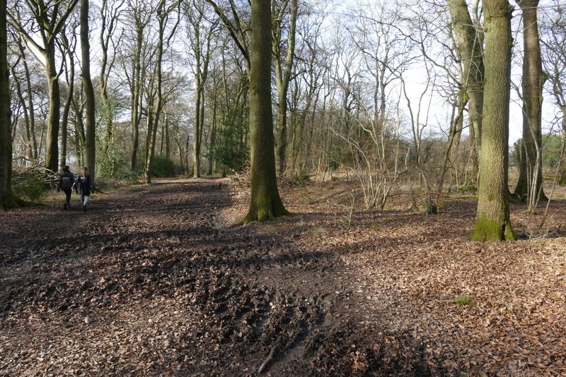
The path after the Ridgeway turns left from the road on Lodge Hill
The path after the Ridgeway turns left from the road on Lodge Hill
The path after I turned right, heading back to the Coombe Hill car park
The temperature never got above 5°C but I was warmly wrapped up and never felt cold. I was still seeing puddles that were iced over at the end of the walk, and ther was still frost on the ground when I got back to Coombe Hill.
I really enjoyed the walk, despite most of the paths being very muddy today (at least some of the mud was partly frozen). The route is more wooded than most of my walks (which I didn't mind at all, but others might find boring after a while) so there weren't that many views. But I thought the views over Hampden Bottom from the paths between Pepperboxes Wood and Oaken Grove were excellent.