Pete's Walks- West Wycombe and Moorend Common (page 4 of 6)
If you are considering walking this route yourself, please see my disclaimer. You may also like to see these notes about the maps and GPX files.
When I came to a path crossroads in Moussells Wood, I turned left (this is the start of 'Alternative 1' on my google map, it is the way I intended to go in 2017 but couldn't because of a closed path). After maybe a third of a mile I came to another path crossroads where I turned right (or half-right). This path was soon dropping downhill through the wood and eventually brought me to a minor road, where I turned left along a valley bottom. I soon came to a junction with a lane, where I took a permissive path running along the far side of the lane (going to my right). Initially it ran between a hedge and some bushes, then continued between overhanging hedges.
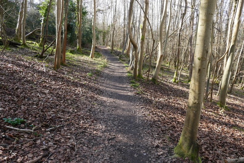
The path after I turned left in Moussells Wood
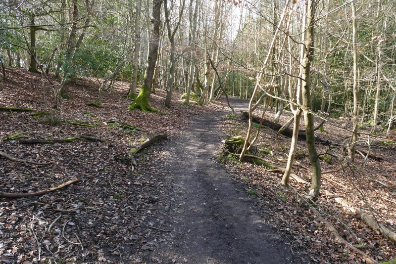
Further along the same path
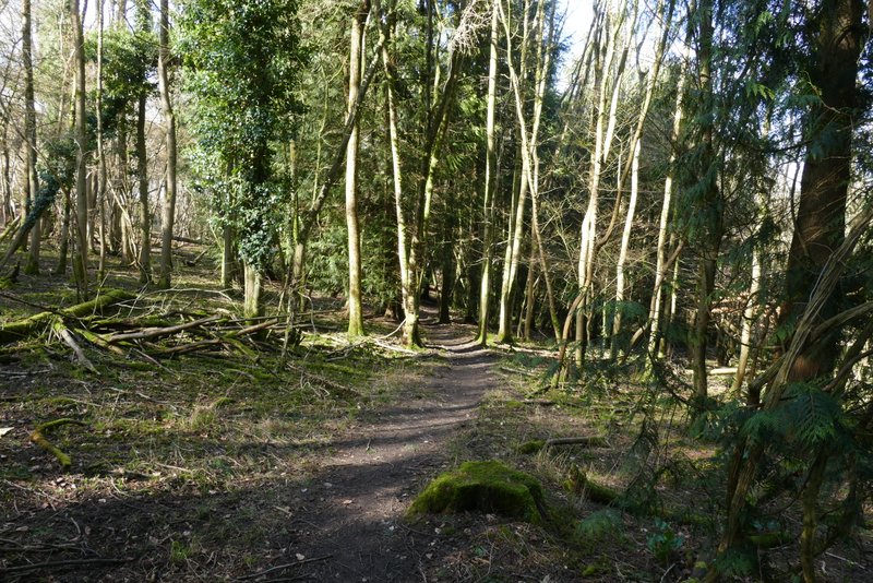
The path after I turned right at a path crossroads in Moussells Wood
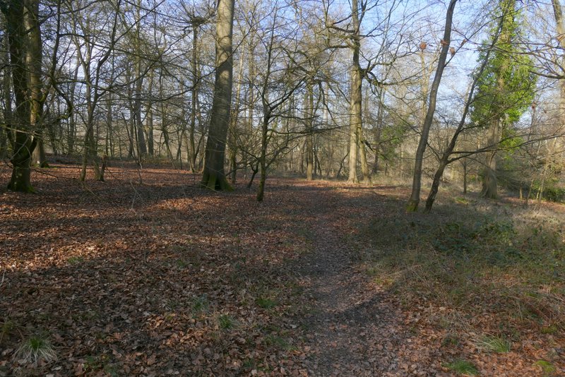
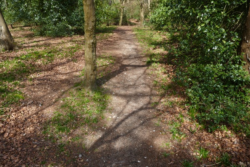
The same path now descending through Moussells Wood
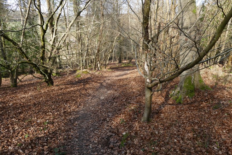
The path descending through Moussells Wood
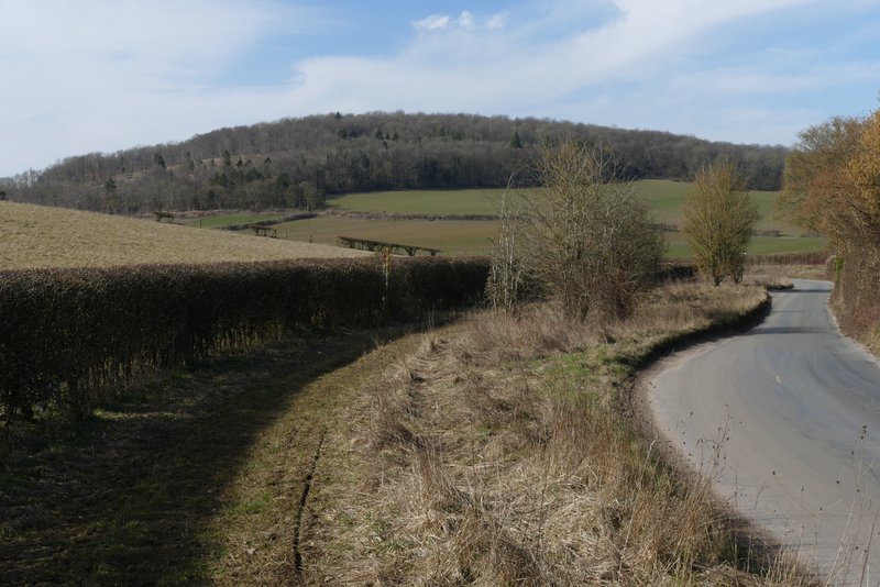
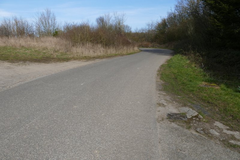
The minor road heading towards Fingest
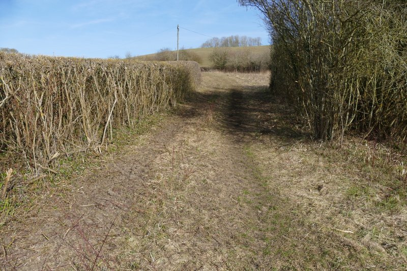
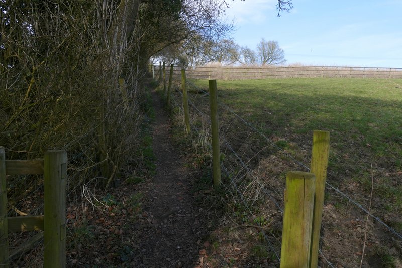
The permissive path next to the lane
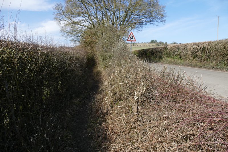
The permissive path next to the lane
The permissive path ended by a bend in the lane on my right, where I took a path going left alongside a hedgerow. When the hedge turned left, I turned right onto another path (that would take me to Cadmore End), crossing a huge field. Across a stile, the path crossed a corner of a large pasture. The path had been rising very gently uphill but it now steepened considerably as it continued uphill through a wood. Towards the top of the slope the path left the wood and then continued between fences and hedges, bringing me to the drive to Rackley's Farm where I turned left to reach a road in Cadmore End.
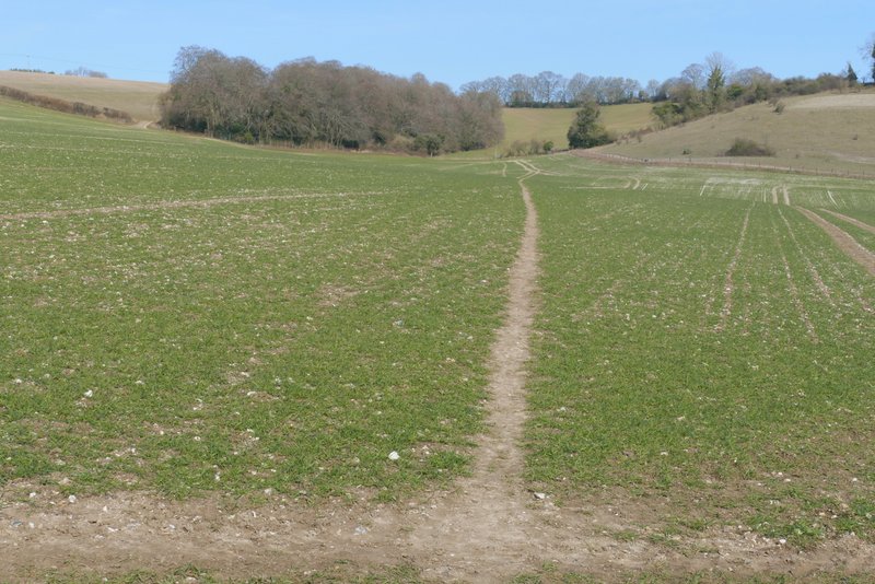
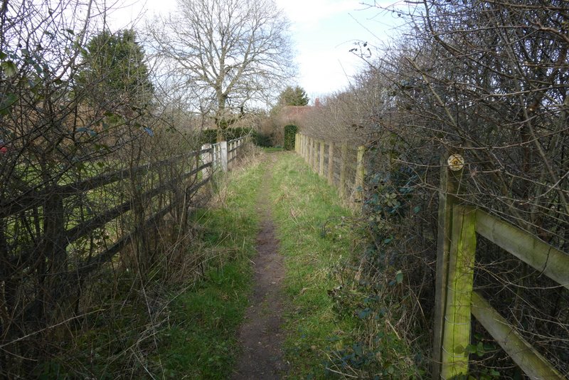
The start of the path to Cadmore End
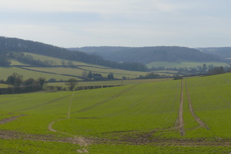
View back, from the path to Cadmore End
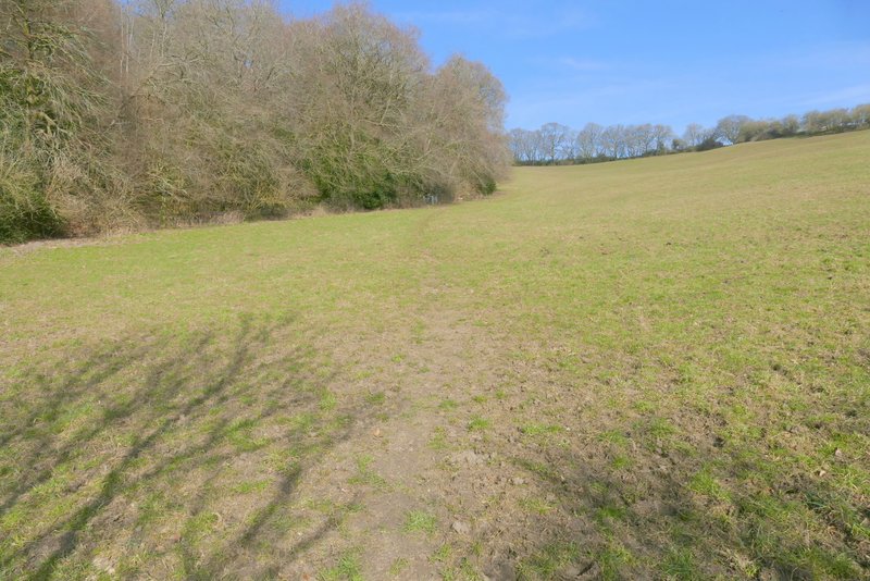
The path to Cadmore End
The path to Cadmore End
The path to Cadmore End
The path to Cadmore End, near Rackley's Farm
Across the road I continued down the drive to Kensham Farm, which soon crossed over the M40 motorway. Just after this, I turned right onto a bridleway along a track, with the woods of Cadmore End Common either side. Previously I have always then turned off onto a footpath on the right, but today I stayed on the bridleway. I soon came to a bridleway fork, where my route kept left (the other bridleway here isn't on the OS map), still on a track.
The drive crossing the M40 at Cadmore End