Pete's Walks - Maidensgrove Common, Turville Heath, Middle Assendon (page 4 of 4)
If you are considering walking this route yourself, please see my disclaimer. You may also like to see these notes about the maps and GPX files.
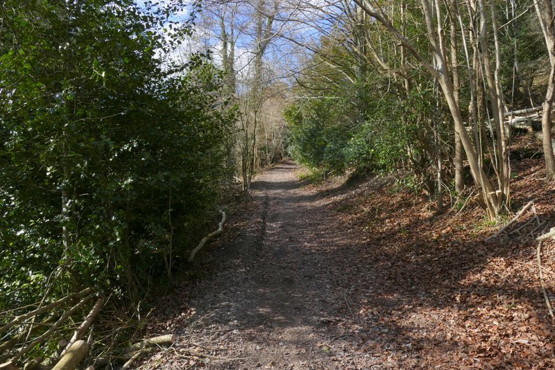
When the track ended, the path continued beside the hedge on the right into a large arable field. The hedge and path soon turned right and in the next field corner I went over a stile into Paradise Wood. The path soon turned left, staying just inside the wood with the same arable field just a few feet to my left. At the end of the wood, the path followed a farm track going half-right and downhill, across another field to a gate and a road near Middle Assendon. Having come across flooding in the Misbourne valley on my previous walk, I could now see that a field in the valley bottom was flooded in a couple of places.
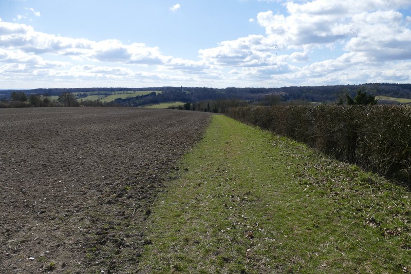
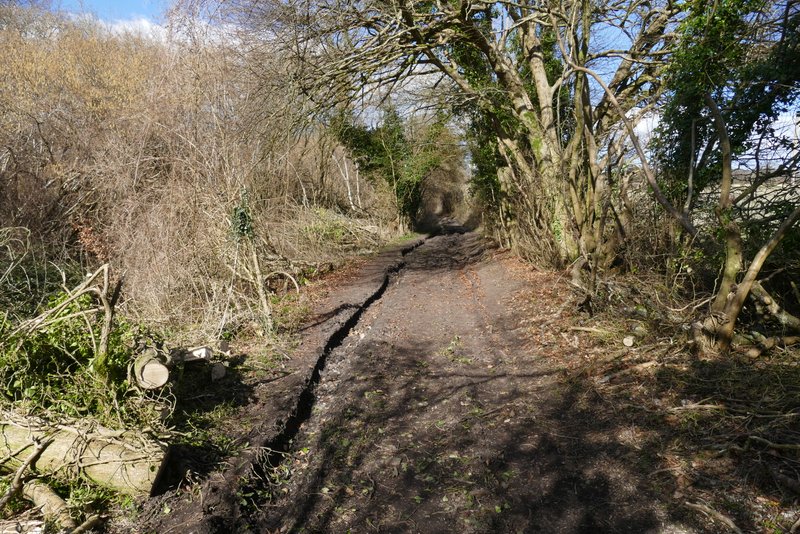
Approaching Paradise Wood
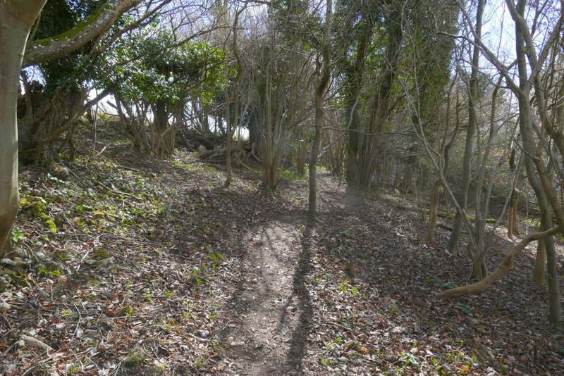
Paradise Wood
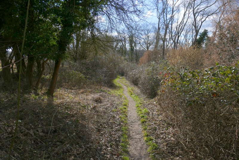
Paradise Wood
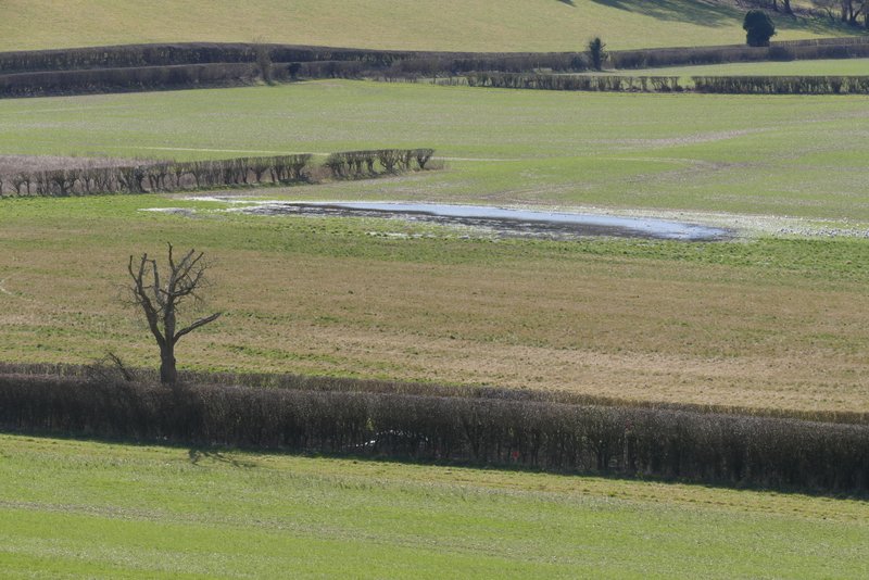
Flooded field near Middle Assendon
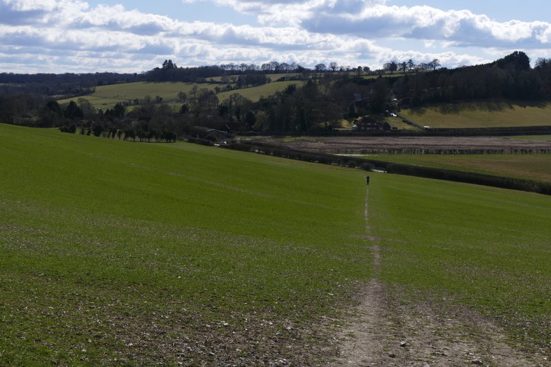
The path approaching the road on the edge of Middle Assendon
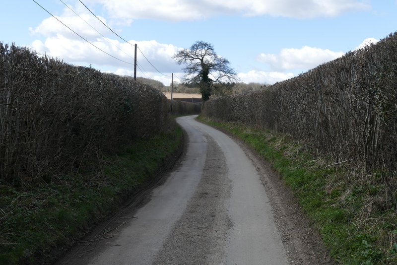
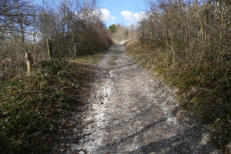
I turned right along the road, heading away from Middle Assendon, and followed it for about a third of a mile. I was astonished to see that the ditch to the right of the road was like a fast-flowing stream, just a couple of inches below the road level. I then turned left along a track named Warmscombe Lane, a public byway. Within a few yards I came to a fork, where I took a footpath on the left instead of bearing right to follow the byway. At this point I met the runners again - they were coming towards me and then turning to their left up Warmscombe Lane, so I knew I'd be seeing them both now and again later on when a bridleway I'd be taking merged with Warmscombe Lane. The path followed a track along the left edge of yet another large arable field, rising slightly uphill beside a hedge on my left. Near the top of the small slope, I stayed on the track when it continued straight on across part of the field when the hedge went half-left. The hedge soon turned right, and when it met the track again I turned right across an area of grass to reach a stile in another hedgerow. Over the hedge I turned left, following the hedge and finally rejoining the track just before it ended on the lane through the valley of Bix Bottom.
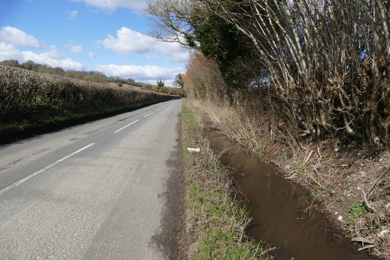
The road near Middle Assendon - the ditch was like a fast flowing stream!
The start of the footpath forking left from Warmscombe Lane
The same path after it turns left alongside a hedge
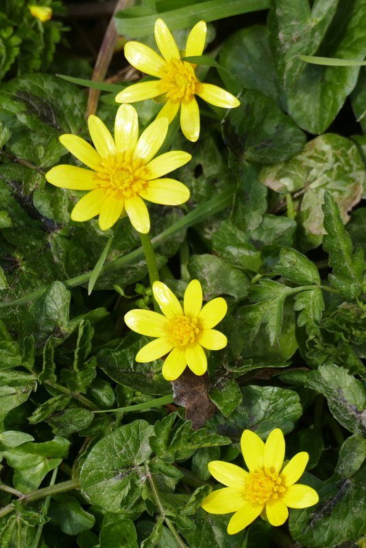
I turned right along the lane - it was narrow with hedges either side, but only one or two cars passed me and soon there was a grass verge to walk if any cars did appear. I spotted some Lesser Celandine along here. I soon passed Valley End Farm (just Valley Farm according to a sign here), where the runners were joining the lane. I continued on a short distance to the ruins of St James church in Bix Bottom. As usual, I stopped to walk round it and take a couple of photos.
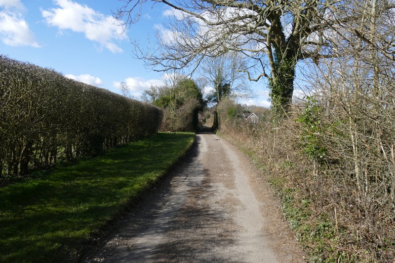
The lane through Bix Bottom
The lane through Bix Bottom
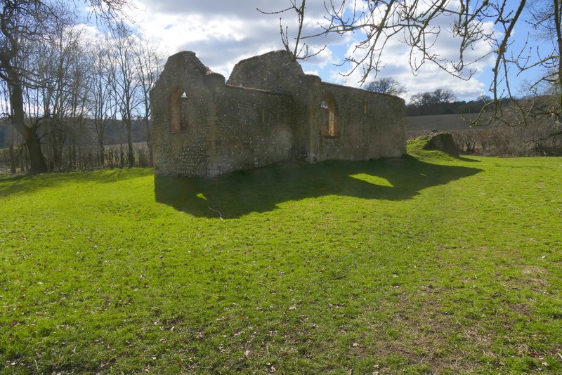
The remains of St James church, Bix Bottom
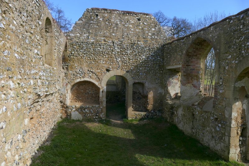
The remains of St James church, Bix Bottom
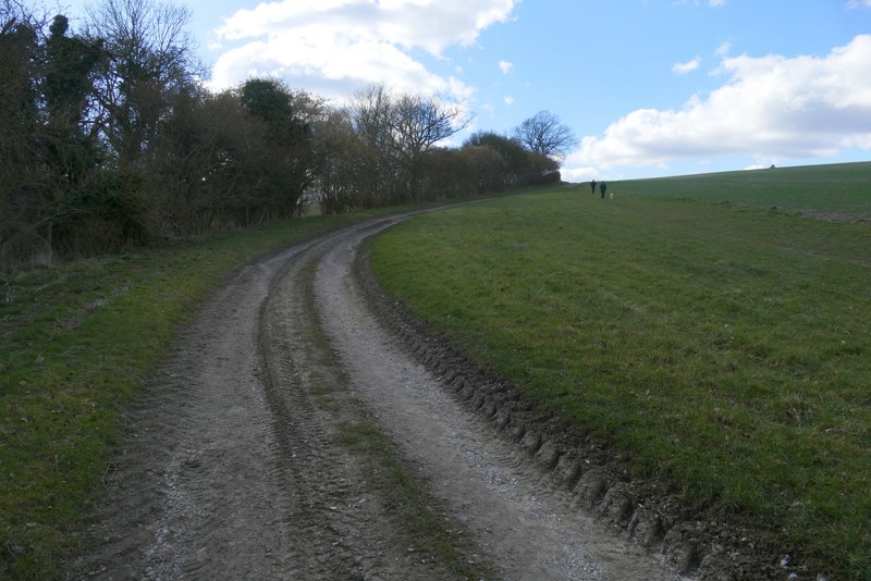
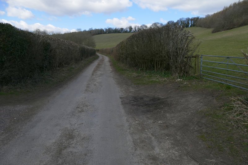
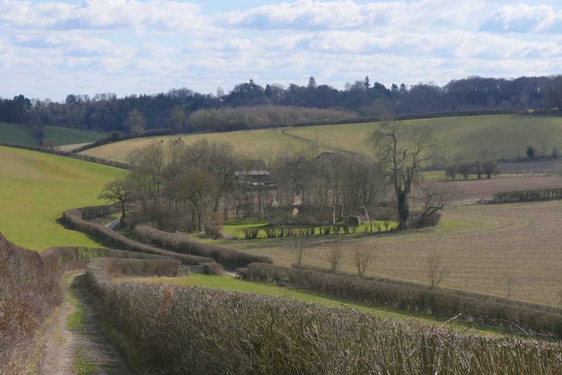
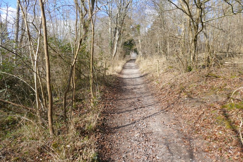
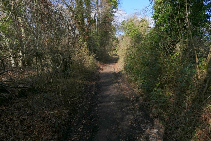
A short distance further along the lane I turned right onto a bridleway, running between tall hedgerows and going uphill to Freedom Wood. It was a fairly gentle gradient (nothing like the climb out of Stonor!), but I still found it quite tiring. In 2023 I said that I found it easier than I usually do, thinking it was because normally I walk this bridleway and the end of a 14 or 15 mile walk whereas I'd only walked about 8 miles that day. It was a bit easier than usual today, but not as easy as I'd found it that time. After a while there were views on my left over the Warburg nature reserve, then the bridleway re-entered the wood, and after another two or three hundred yard the bridleway merged with Warmscale Lane coming in sharply on my right.
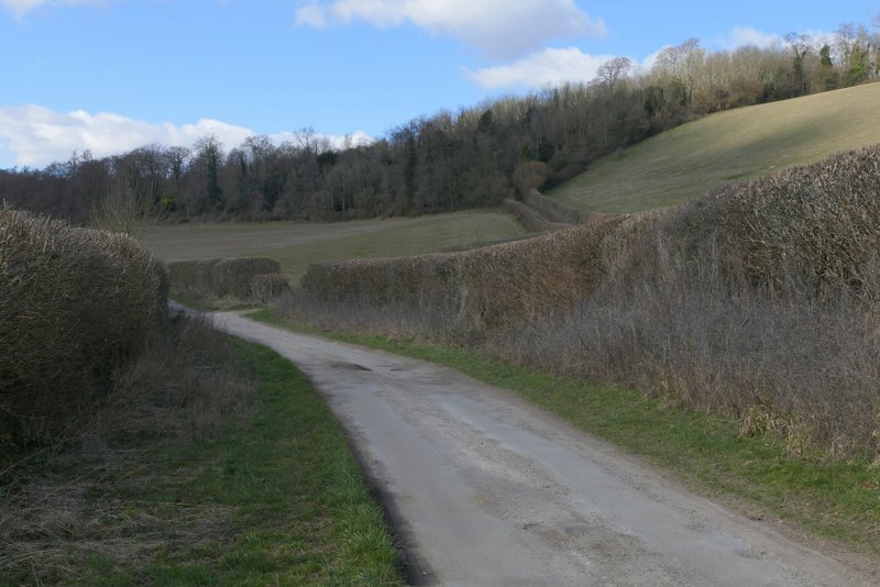
The lane through Bix Bottom, just before I took a bridleway on the right
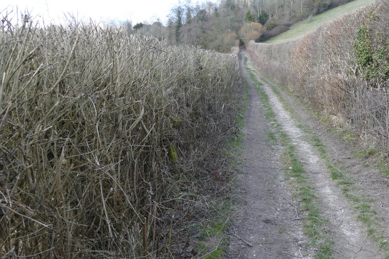
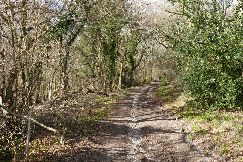
The bridleway from Bix Bottom to Maidensgrove
View back from the bridleway from Bix Bottom to Maidensgrove
The bridleway from Bix Bottom to Maidensgrove
The bridleway from Bix Bottom to Maidensgrove
The bridleway from Bix Bottom to Maidensgrove
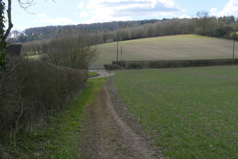
I continued ahead along the bridleway, now with fields just to my right, and a wood sloping down quite steeply on my left, part of the nature reserve. It was flat now, and my pace picked up a bit. I was passed by a few runners along here, but they were well spaced out and near the back of the race I think. About a third of a mile after the junction with Warmscombe Lane, the bridleway ended at a lane in Maidensgrove, close to Lodge Farm on my right. I turned left along the lane until it turned right, where I turned left along a track that passed close to a few cottages to reach Maidensgrove Common. I followed the left edge of the common until I reached the lane that crosses it, where I turned right to return to my car.
The bridleway from Bix Bottom to Maidensgrove (after where it merges with Warmscombe Lane)
The bridleway from Bix Bottom to Maidensgrove
The bridleway from Bix Bottom to Maidensgrove
The lane in Maidensgrove
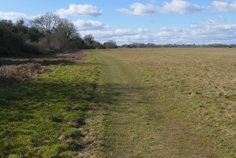
Maidensgrove Common
In 2023 I had been disappointed that the day had been very grey, when the weather forecast had said it would be sunny. Today the walk got the nice sunny weather I thought it deserved, and it made for a very enjoyable experience. The route I took from Maidensgrove to Pishill made a nice change from the (perfectly fine) route I usually take, the paths through Stonor deer park and from Coxlease Farm to Middle Assendon are two of my favourite paths in the Chilterns, and the view from the edge of Summerheath Wood is also a favourite of mine. So I'm going to give the walk a '**' rating (using my idiosyncratic rating system), to show that it is a much better than average route. I'd certainly be very happy to walk it again.