Pete's Walks - Cowleaze Wood, Crowell, Stokenchurch (page 4 of 6)
If you are considering walking this route yourself, please see my disclaimer. You may also like to see these notes about the maps and GPX files.
When a path crossed the track I turned right (this was the end of Alternative 1 on my Google map), the path going over a stile (exiting Crowell Wood) and heading half-left and uphill across a corner of a sheep pasture. Over another stile in the hedge on that side of the pasture (there was a nice view along the valley to my left here), the path continued downhill across another pasture aiming for a corner of this field by Hallbottom Farm. From that corner the path rose uphill between a wooden fence and the wire fence of another sheep pasture. Through a gate, the path turned half right, continuing uphill to reach the drive coming up from Hallbottom Farm, where I turned left. Previously on this route I have soon taken a footpath going left from the drive, but today I continued along the drive (Alternative 2 on my Google map). Just before reaching some new houses on the edge of Stokenchurch, I rejoined the original route when a footpath (part of the Chiltern Way) came in from the left. I continued along the drive, which now became a village street. I turned right at a T-Junction (where the Royal Oak pub was on my right), following this street as it curved left towards the A40, the main road through the village (I sat on a seat to eat my lunch just before reaching the A40).
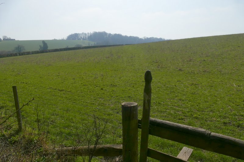
The start of the path to Hallbottom Farm from Crowell Wood (it goes to a stile in the hedge, roughly in the centre of this shoT0
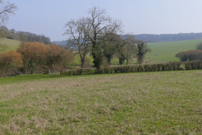
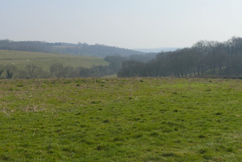
View left from the path to Hallbottom Farm from Crowell Wood
View left from the path to Hallbottom Farm from Crowell Wood
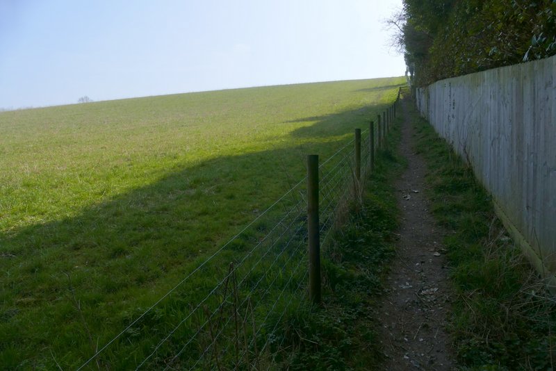
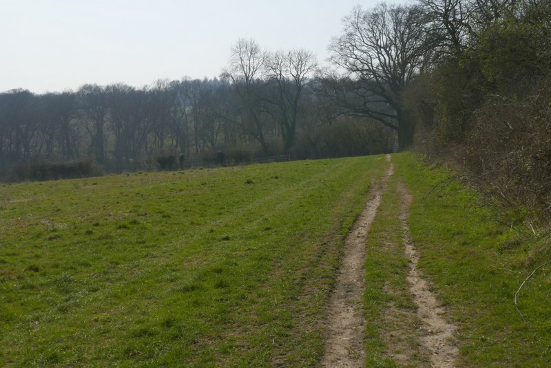
The path to Hallbottom Farm from Crowell Wood
The path continuing from Hallbottom Farm
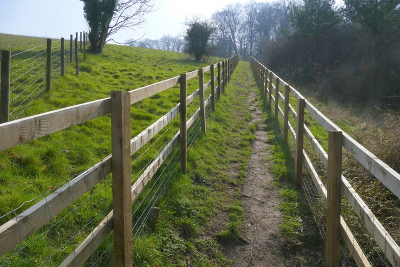
The path continuing from Hallbottom Farm
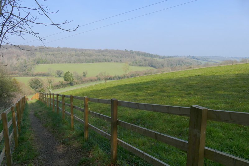
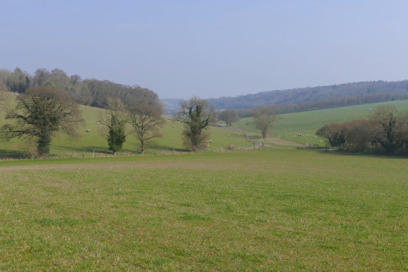
View back from near Hallbottom Farm
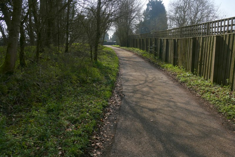
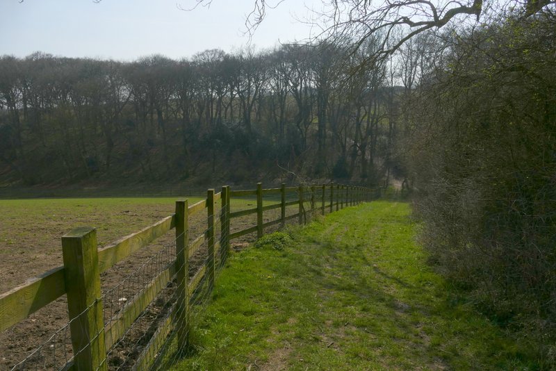
The drive from Hallbottom Farm
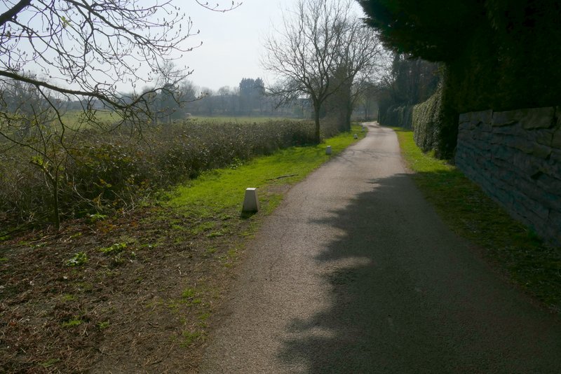
The drive from Hallbottom Farm
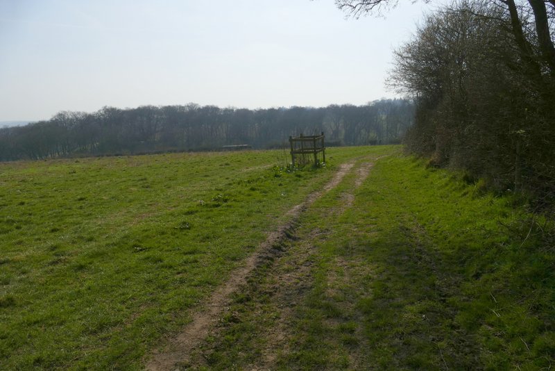
I then crossed the A40, went a few yards left and turned right. I followed the street over an oddly-shaped roundabout (where a sign said it was now Coopers Court Road), and followed it slightly downhill. At a junction I went straight on down the drive to Chiltern Vale Farm (the name on the OS map is Coopers Court Farm). The drive soon went under the M40 and then I went a few yards right before taking a path on the left that ran between paddock fences. The path then went left, following a hedge on my right with an arable field sloping down on my left. After following the hedgerow on my right for a few hundred yards, the path passed through a narrow wood called Bissomhall Shaw. The path then continued uphill alongside another hedge on my right past another arable field. On entering the next field I reached a fork in the path - the Chiltern Way went half-left across the field, heading towards Studdridge Farm, but I went straight on along the right edge of the field.
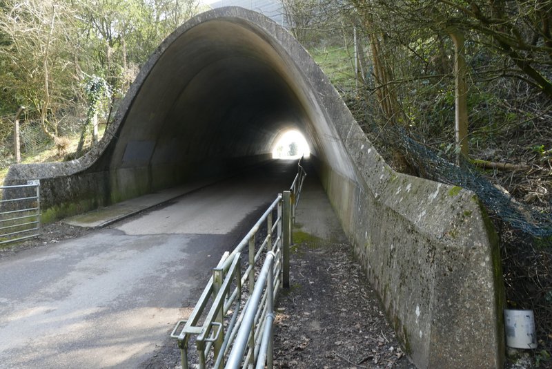
The M40 underpass near Chiltern Vale Farm (named Coopers Court Farm on the OS map)
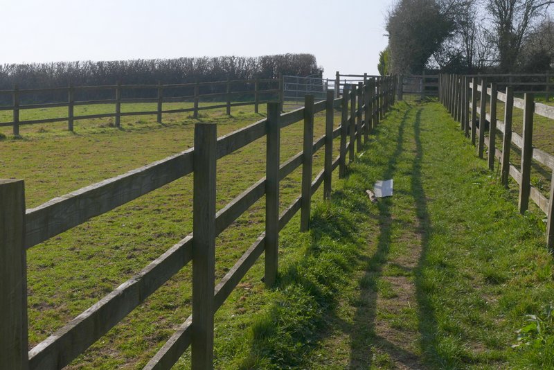
The path from Chiltern Vale Farm
The path from Chiltern Vale Farm
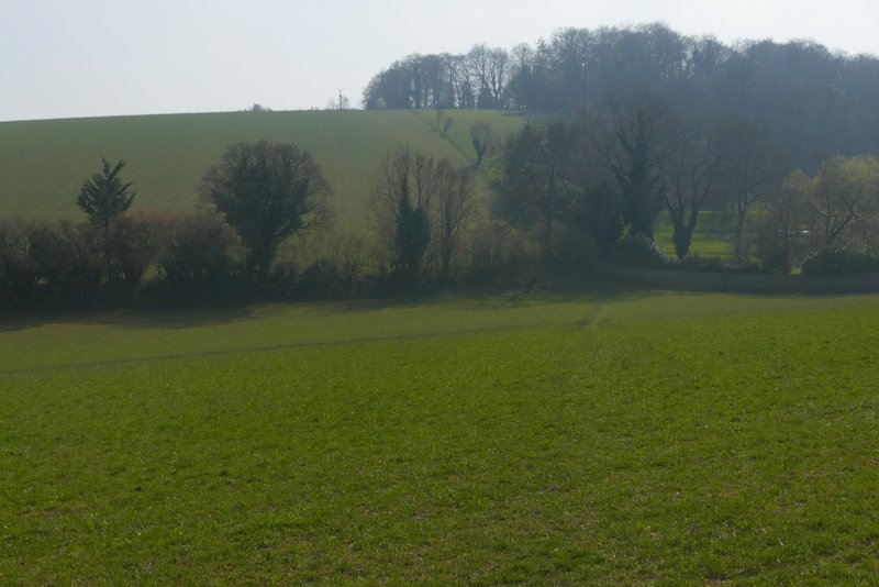
View from the path from Chiltern Vale Farm
The path from Chiltern Vale Farm
The path from Chiltern Vale Farm
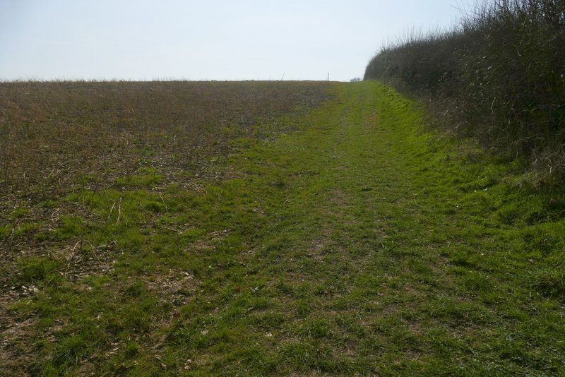
The path from Chiltern Vale Farm