Pete's Walks - Hambleden, Medmenham, Colstrope (page 4 of 6)
If you are considering walking this route yourself, please see my disclaimer. You may also like to see these notes about the maps and GPX files.
In the valley bottom I went over stiles either side of a farm track by some farm buildings, continuing uphill through another pasture with a hedgerow on my right. At the top of the slope I followed the path between garden fences and walls a short way to reach a lane near a property named Lower Woodend on the OS map. I went a short way to my right here, then took a path starting at a hedge gap on the left. The path crossed a large meadow (it has usually been an arable field when I've been here previously) to reach a lane opposite a property named Arbon on the OS map. I turned right along the lane then, after about a quarter of a mile or so, I turned left onto a footpath near Woodend Farm.
The path continuing uphill
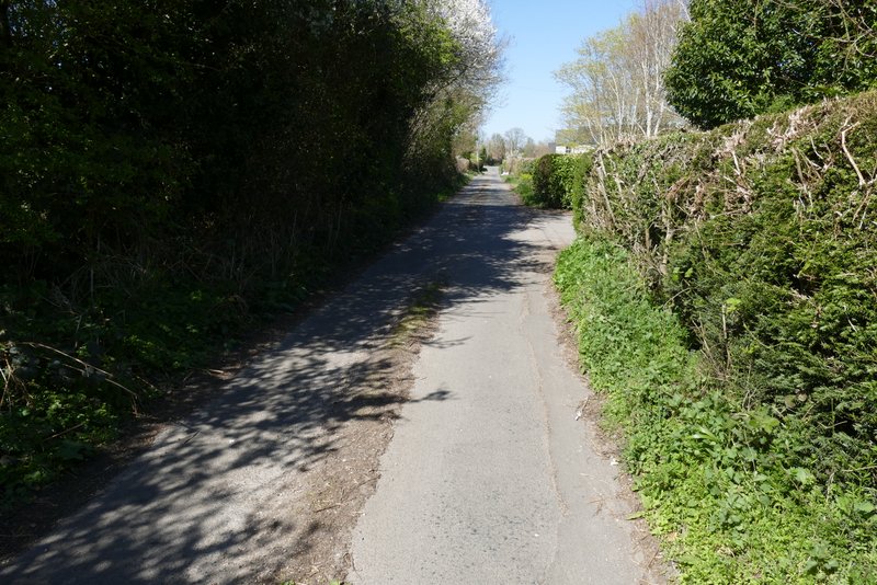
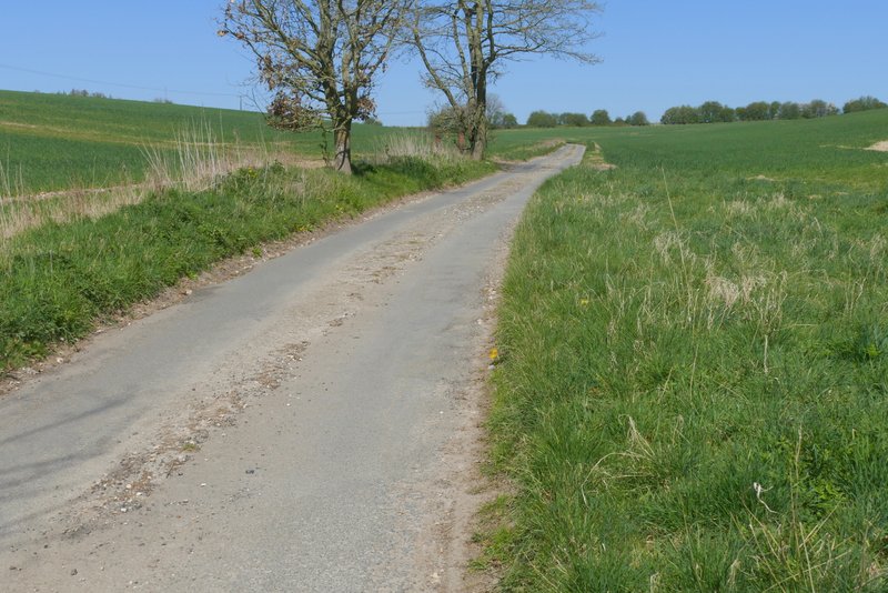
The lane after I turned right
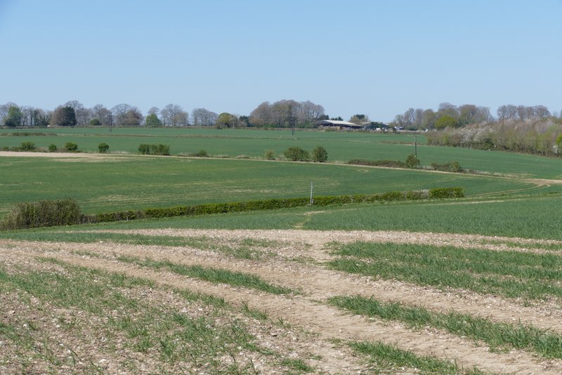
Crossing the field towards a property named Arbon on the OS map
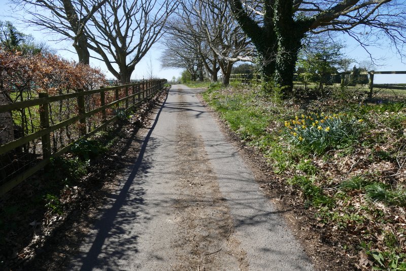
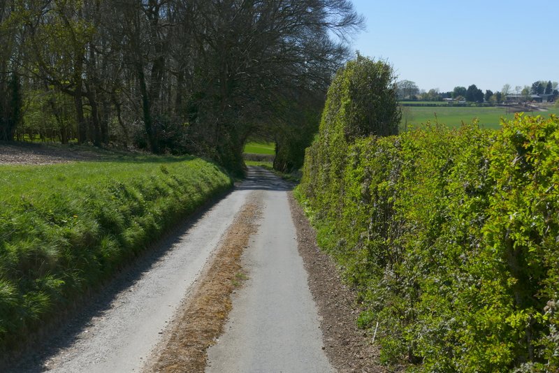
The lane section between Arbon and Woodend Farm
The lane section between Arbon and Woodend Farm
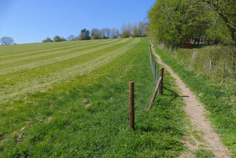
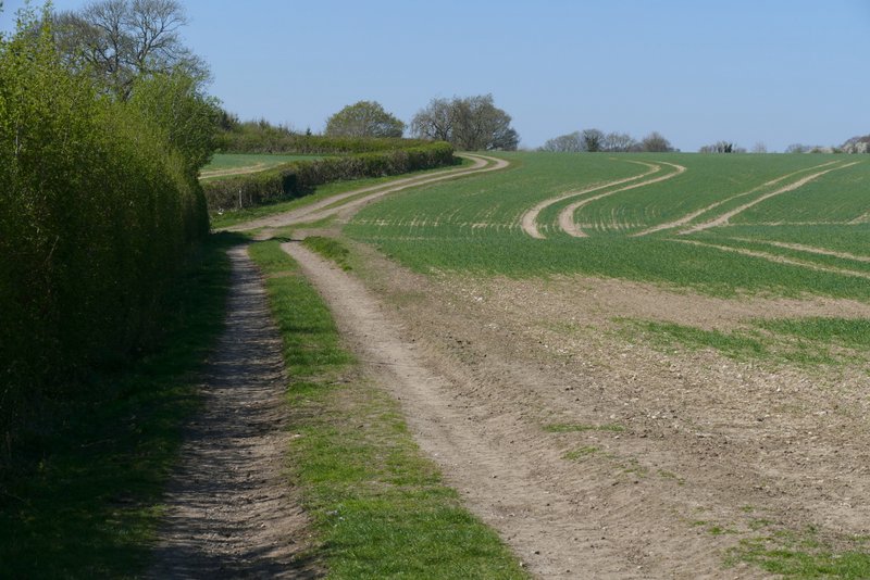
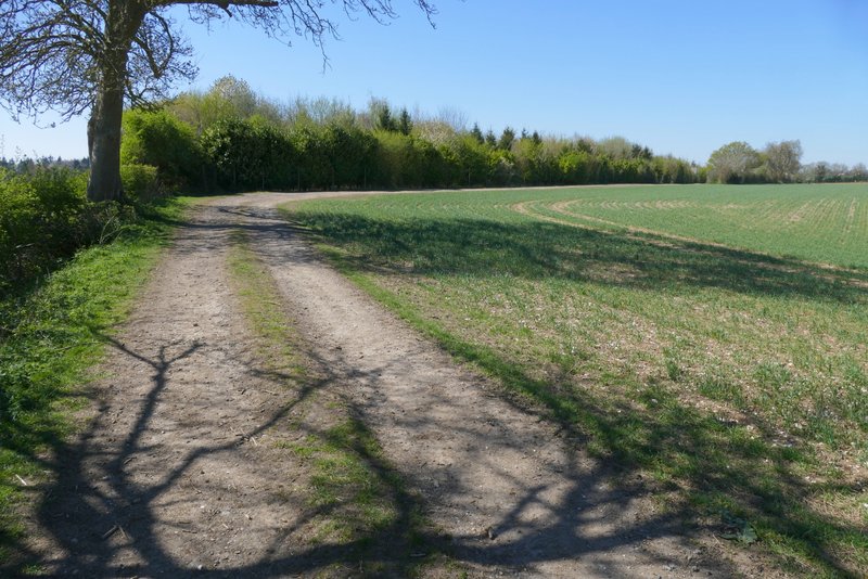
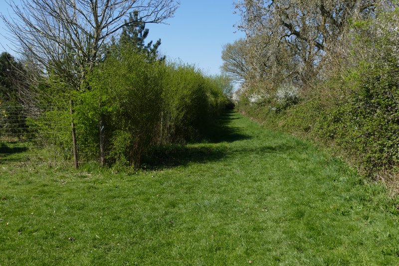
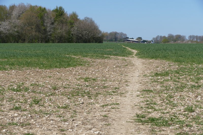
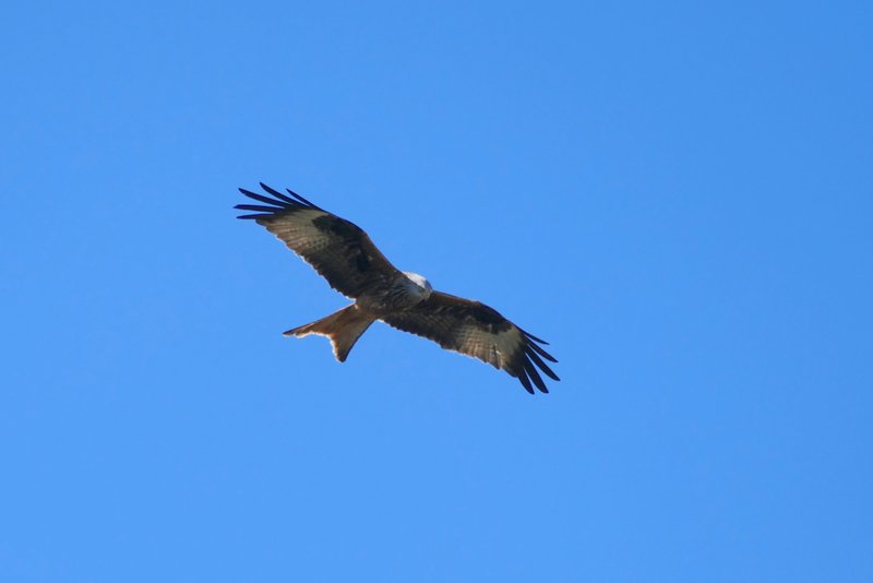
The path started along a drive with a few trees either side. When the drive turned left, the footpath went straight on along a farm track, initially with paddock fences to my left. A little further on, the path started to follow a long hedgerow on my left, with a very large and flat field on my right. I soon passed a path junction, continuing along the hedgerow as it turned left and then, soon after right. There was now a plantation of young trees on my left. After a while the track turned left, but the grassy footpath went straight on for a few hundred yards, between the plantation and a hedge on my right. The footpath then turned half-right to head northwest across another very large and flat field, heading just right of the corner of a small wood - I managed to get a photo of a Red Kite here.
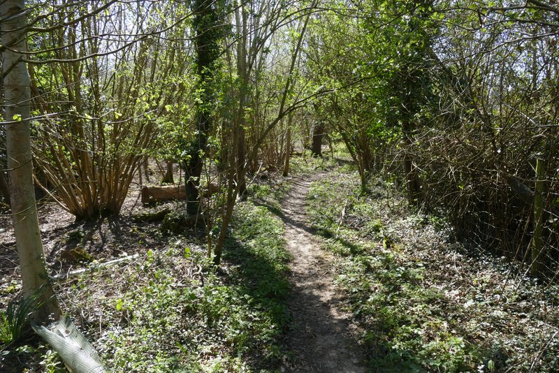
The start of the path after I turned left near Woodend Farm
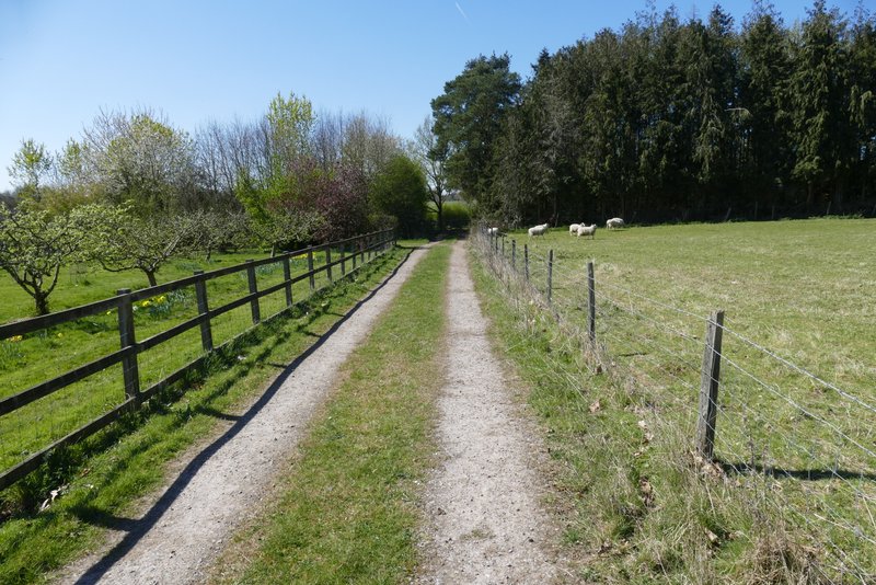
The path continuing past Woodend Farm
The path continuing from Woodend Farm
The path continuing from Woodend Farm
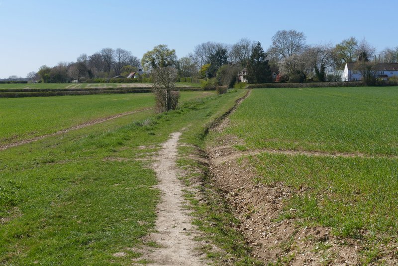
The path continuing from Woodend Farm
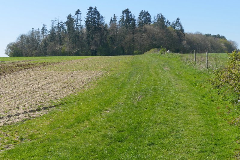
The path continuing from Woodend Farm, after it turns from west to northwest and crosses a large field
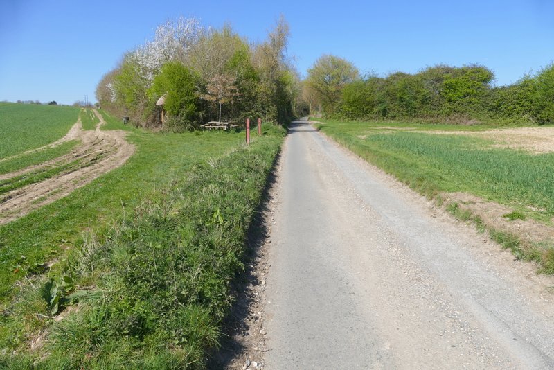
Reaching the end of the path from Woodend Farm
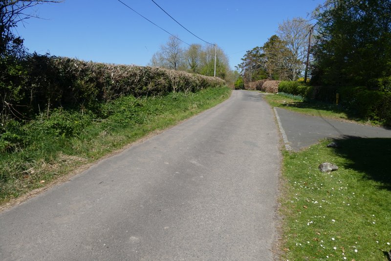
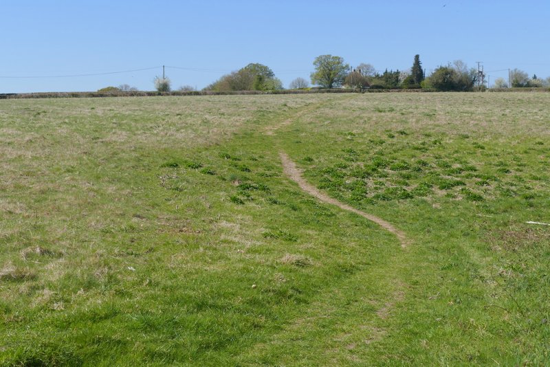
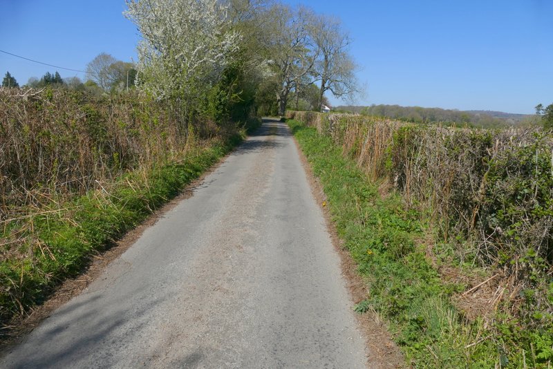
On eventually reaching the far side of the field, I turned left along a lane. Fairly soon I reached a lane junction, where I turned sharply right along a second lane. I followed this lane for about half a mile, as it ran between arable fields with no fences or hedges either side. After passing an area of bushes and small trees on the left, I took a path on that side which started through the area of bushes or small trees. It then followed a field boundary for a few hundred yards to reach Bushes Wood. The path went half-left through the wood, then turned half-right to run just inside the left edge of the wood. Finally the path followed the left edge of another field to reach a lane junction at the hamlet of Pheasants, where I took the lane straight ahead of me.
The first lane, where I went left
The second lane, after I turned right
The second lane, after I turned right (I would turn left where the bushes on the left finished)
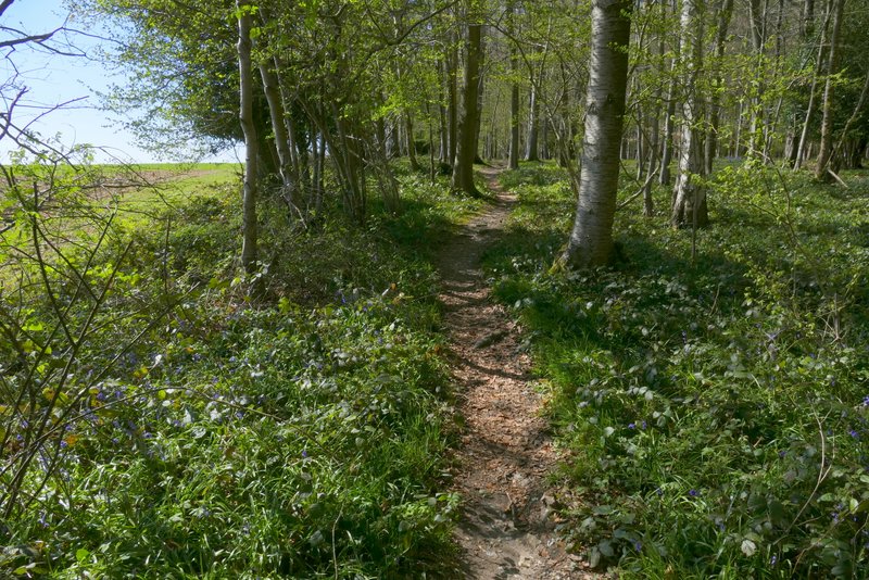
Near the start of the path after I turned left, to head towards Pheasants
Further along the path, now heading towards Bushes Wood
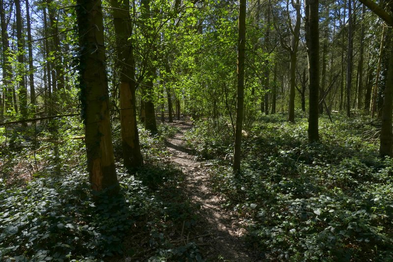
Bushes Wood
Bushes Wood
Approaching Pheasants