Pete's Walks - Great Kimble, Green Hailey, Buckmoorend (page 1 of 3)
If you are considering walking this route yourself, please see my disclaimer. You may also like to see these notes about the maps and GPX files.
I did this circular walk of about 7 miles on Monday, 27th October 2025. It was a repeat of a walk I did in March 2022.
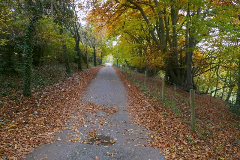
I parked in the lay-by at Great Kimble (Grid Reference SP 825058) - the lay-by is just south of the church, on the other side of the road. I started walking about 9.50am, following the road southwest (toward Monks Risborough). After about a quarter of a mile I turned left onto a bridleway, immediately coming to a junction where a byway went half-right (the sign next to it confusingly said 'Bridleway'). But I needed to go straight on along the bridleway, initially following a surfaced drive. Beyond a few properties the bridleway became a track, continuing southeast and very gently rising uphill. After a few hundred yard the bridleway crossed the Ridgeway national trail and continued southeast, still gently uphill, now passing the southern flank of Pulpit Hill on my left (and initially the Grangelands and Pulpit Hill nature reserve on my right).
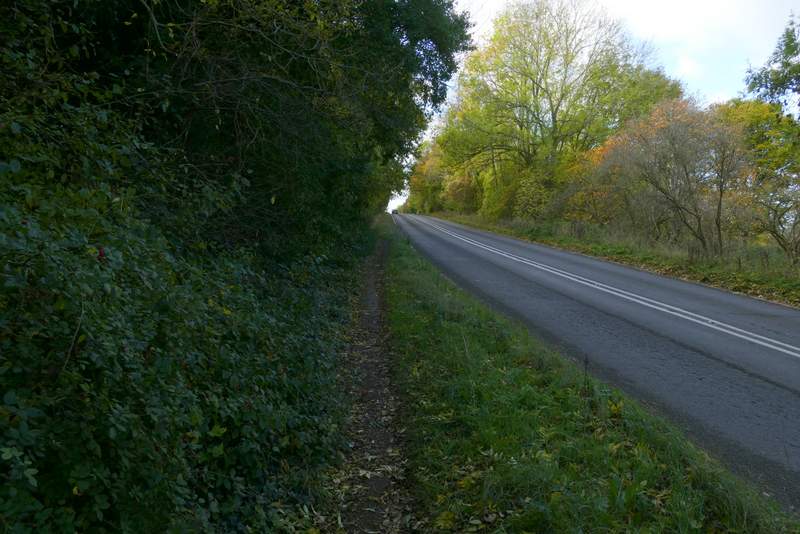
The path beside the road, heading southwest from Great Kimble
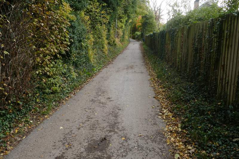
Near the start of the bridleway heading southeast from Great Kimble
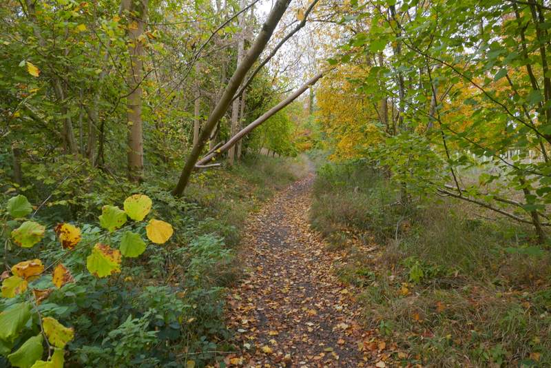
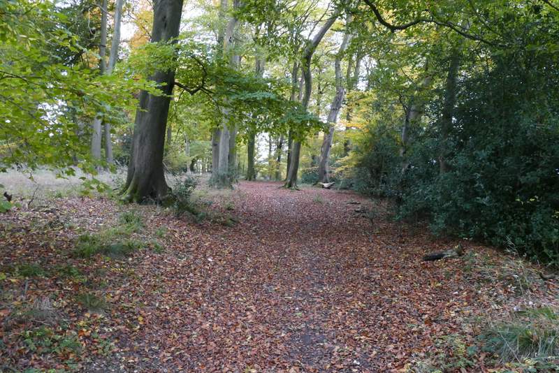
The bridleway heading southeast from Great Kimble
The bridleway heading southeast from Great Kimble/p>
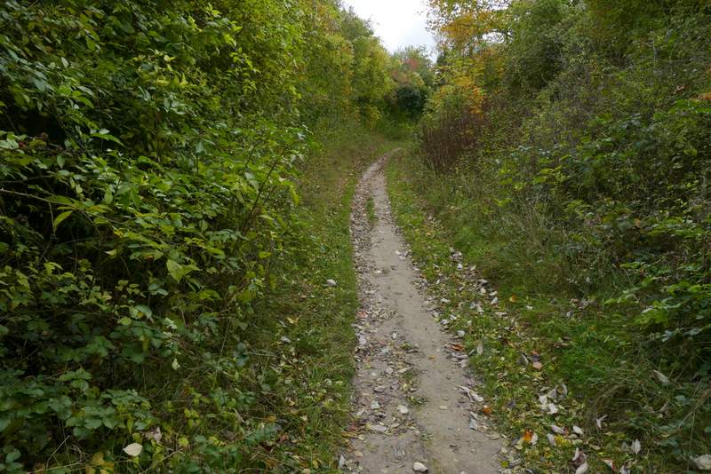
The bridleway heading southeast from Great Kimble
The bridleway heading southeast from Great Kimble, where it crosses the Ridgeway national trail
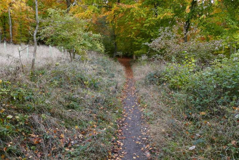
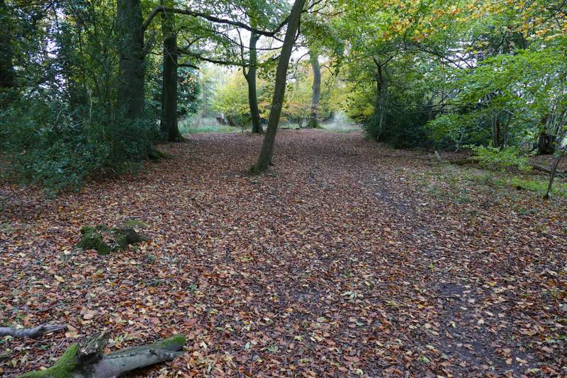
The bridleway continuing past Pulpit Hill
The bridleway continuing past Pulpit Hill
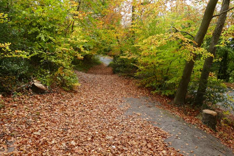
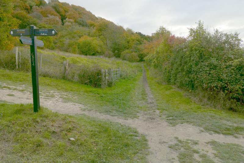
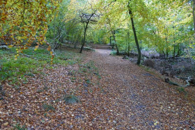
The bridleway as it reaches the road by the car park on Pulpit Hill
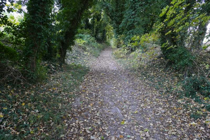
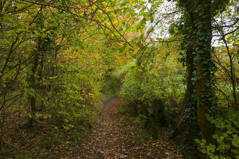
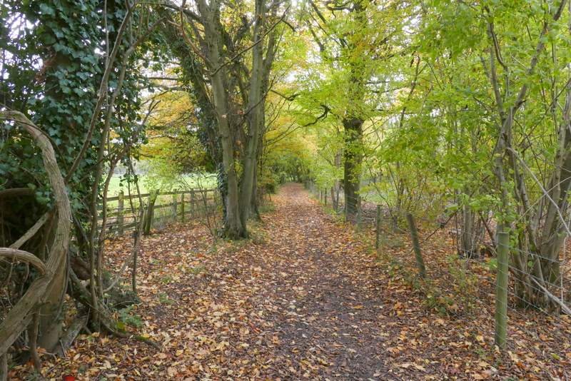
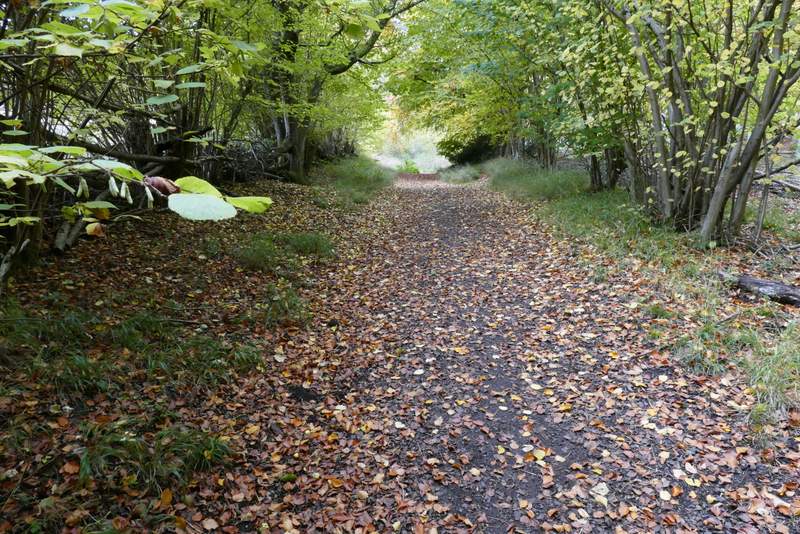
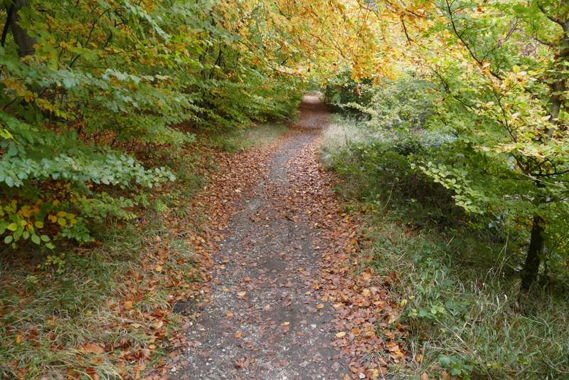
Eventually the bridleway passed a car park on the right and reached a road. I crossed over and continued down another bridleway, initially between hedges but then with Ninn Wood to my right. I went straight on where a footpath crossed the bridleway, and then had a small slither of the wood to my left. After a few hundred yards there was a slightly staggered junction, where I had to go right a few yards and then go left to continue in the same southwesterly direction as before. The bridleway was now roughly following the boundary between Ninn Wood on my right and Sergeant's Wood on my left. When I came close to a field corner on my right, I carried straight on, now just inside Sergeant's Wood. On leaving the wood and reaching a path crossroads I turned left, following a bridleway beside the wood. Immediately after the end of the field on my right, I turned right onto a path just inside Kingsfield Wood, with the same field still just to my right.
The start of the bridleway across the road, going south towards Ninn Wood
The bridleway going south towards Ninn Wood
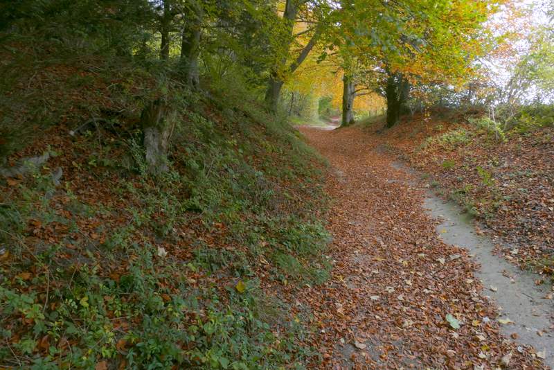
The bridleway going south past Ninn Wood
The bridleway going south past Ninn Wood
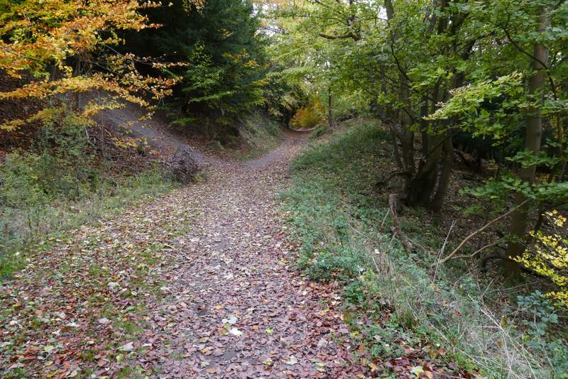
The same bridleway continuing southwest through Ninn Wood, approaching the junction where I turned right and then immediately left
The bridleway continuing southwest, after I turned right and then immediately left
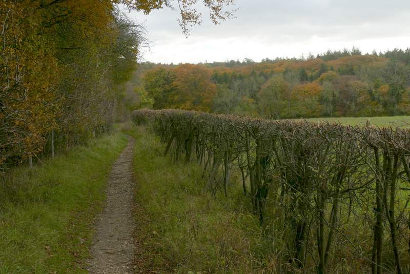
The same bridleway, now with Sergeant's Wood to the left
The bridleway continuing through Sergeant's Wood
The bridleway continuing through Sergeant's Wood
The bridleway after I turned left, running alongside Sergeant's Wood
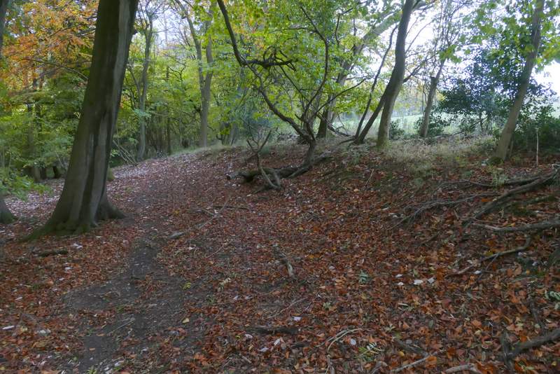
The footpath after I turned right, heading towards Green Hailey