Pete's Walks - Great Kimble, Green Hailey, Buckmoorend (page 3 of 3)
If you are considering walking this route yourself, please see my disclaimer. You may also like to see these notes about the maps and GPX files.
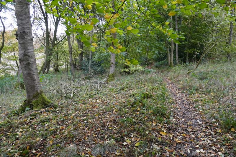
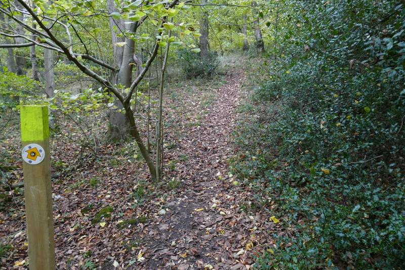
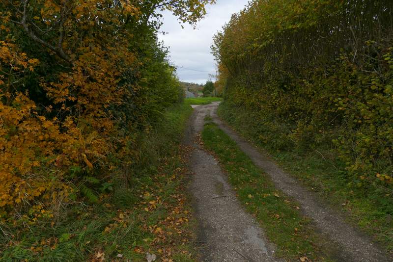
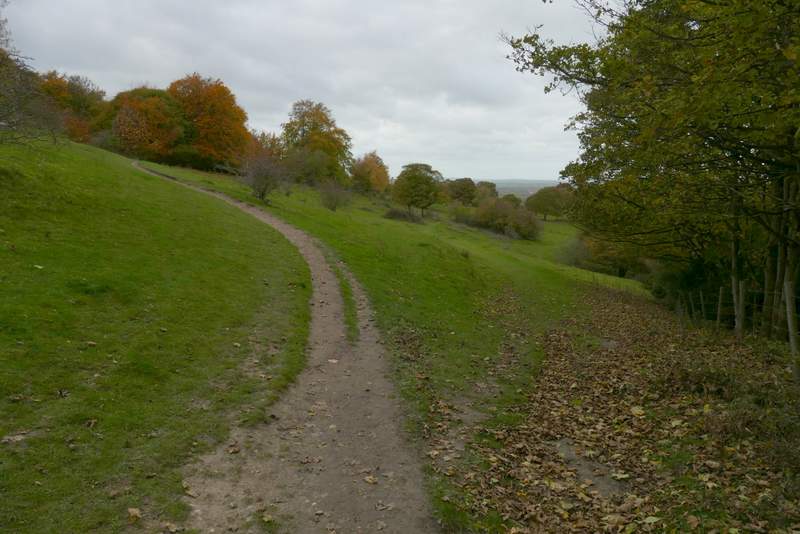
After about a third of a mile I came to a path T-junction where I turned right, now in Hengrove Wood. After a short way the path turned left and then immediately right going uphill for 20-30 yards to reach a path junction. I turned sharply left and followed a path gently downhill through the wood to reach the lane from Buckmoorend towards Little Hampden (I usually refer to this as the 'old' lane as if it's no longer in use, but it's just shown as a lane on the OS map, though you'd probably need a 4-wheel drive vehicle to get along it and it just ends in the middle of a wood - I've always presumed it used to continue on to Little Hampden). I turned left and followed the Lane to Buckmoorend.
The path after I turned right in Hensgrove Wood
The same path, where it goes a short way uphill to a path junction
The path after I turned left in Hengrove Wood
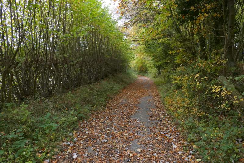
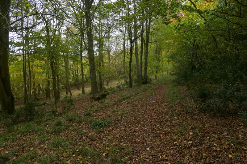
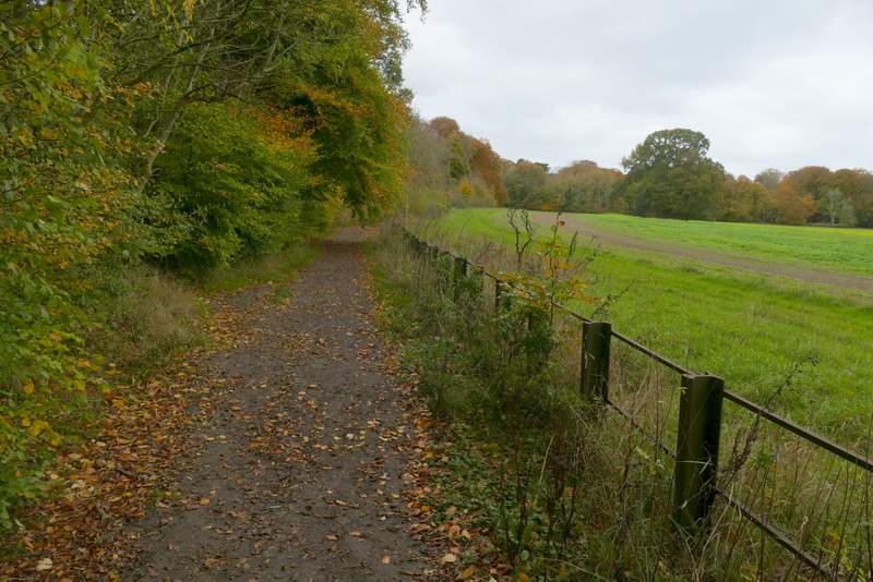
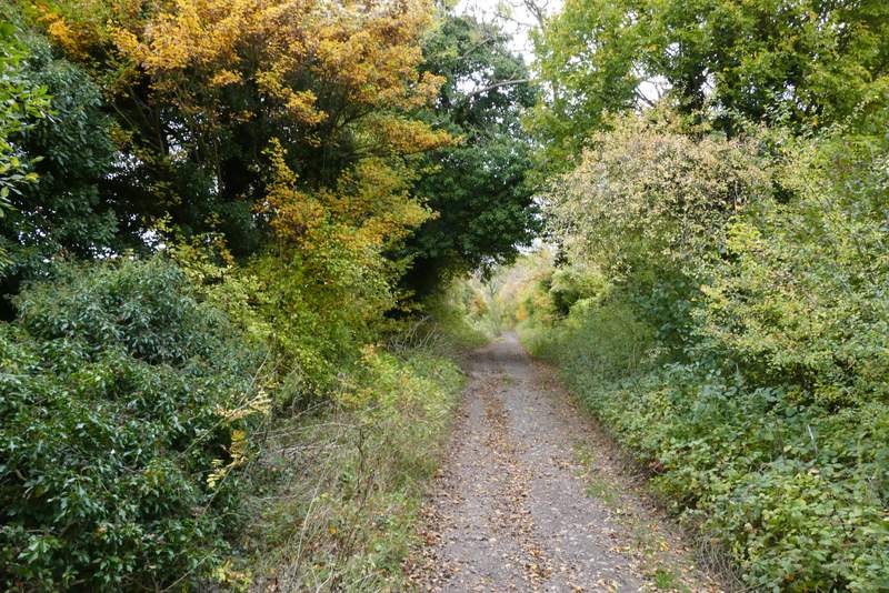
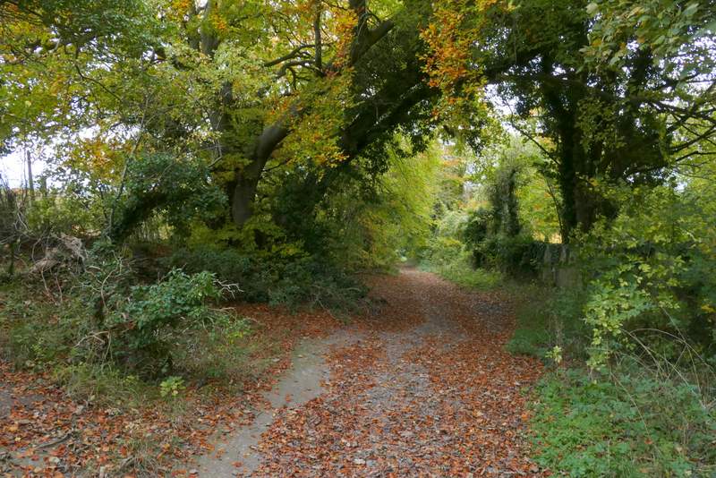
The lane between Little Hampden and Buckmoorend
The lane between Little Hampden and Buckmoorend
At the end of the lane, I crossed a road and joined the route of the Ridgeway national trail as it crossed the grounds of Chequers (the Prime Minister's country retreat). It soon went through gates either side of the drive to the big house. There used to be a fence on the right beyond the second gate, but now there is just a row of warning notices. Through another gate, the path turns right to follow the edge of Maple Wood, with views to the right over Chequers (mainly hidden in trees) with Coombe Hill beyond.
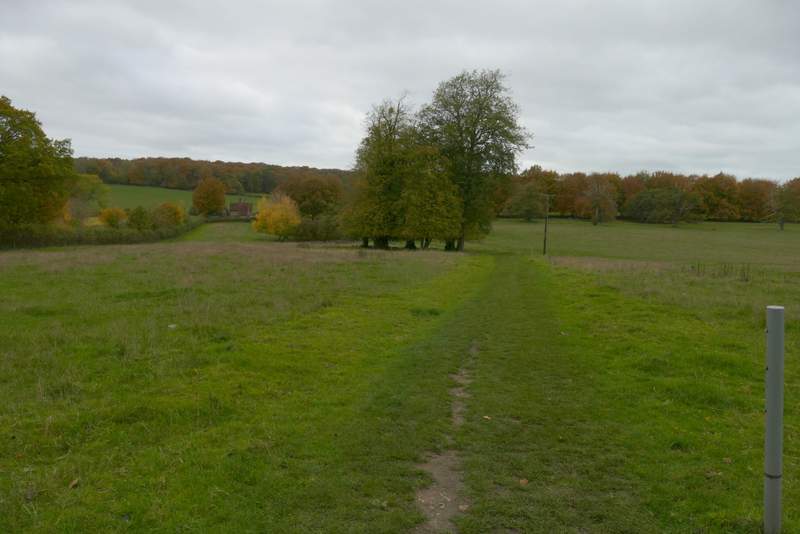
The Ridgeway, crossing the grounds of Chequers
The Ridgeway, crossing the grounds of Chequers
The Ridgeway running beside Maple Wood
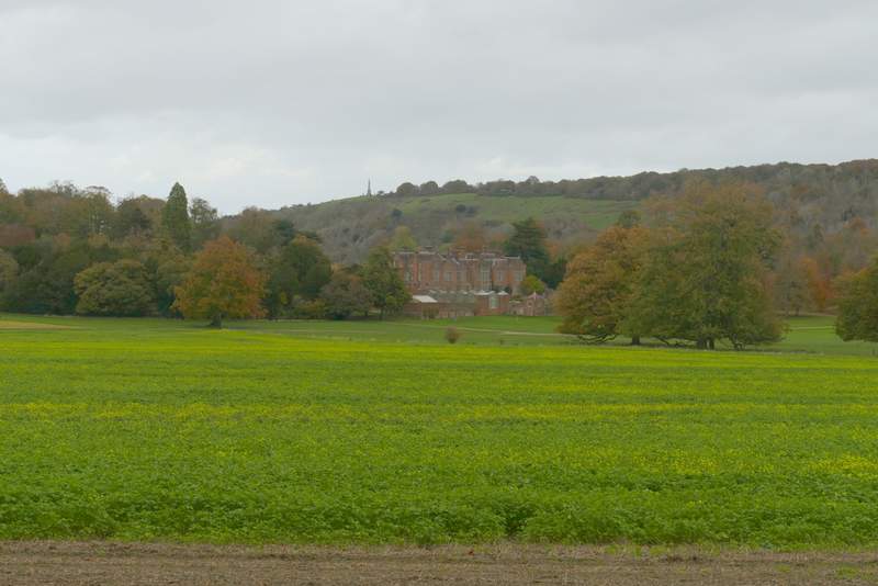
Chequers and Coombe Hill
The Ridgeway running beside Maple Wood
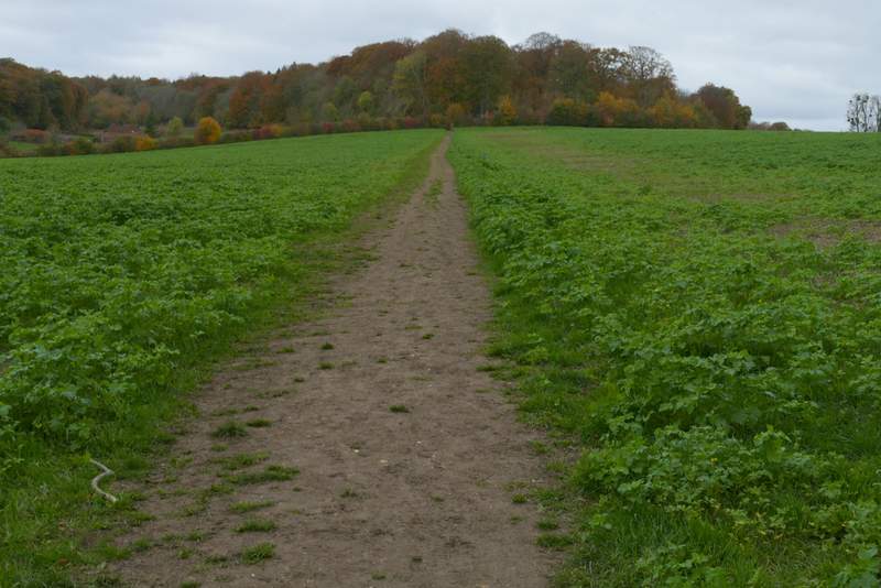
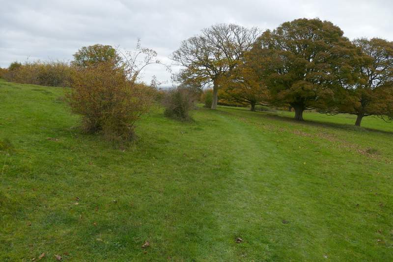
After a few hundred yards, the path went through a gate and continued across an empty pasture (this section is marked Cradle Footpath on the OS map, but I don't know the origin of this name). On the far side, I went through another gate and continued along the clear path through an area of grass and bushes. After two or three hundred yards I forked right where a wooden finger-post indicated a footpath junction (I could have gone on a little further and then turned right to go over the little eminence called Chequers Knap). I soon came to a path fork where I kept left left, going past Chequers Knap up to my left. On eventually reaching the far corner of this area, I turned right onto a bridleway and followed it down to Great Kimble, where the lay-by where I'd started was just to my left.
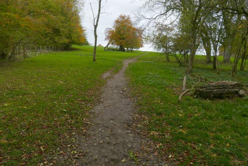
The Cradle footpath
The Cradle footpath
Where I forked right from the Ridgeway
Further along the path
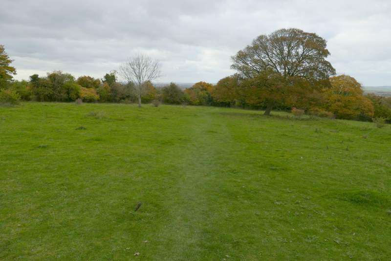
Further along the path
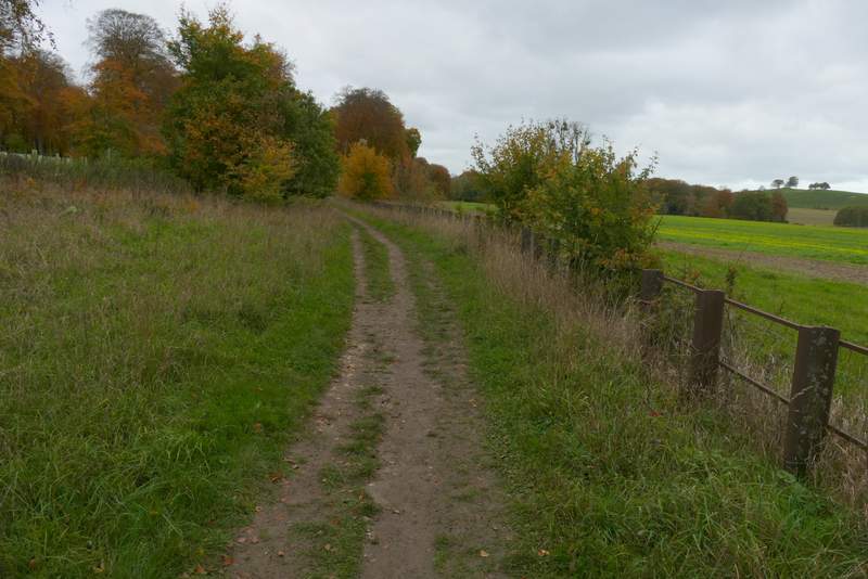
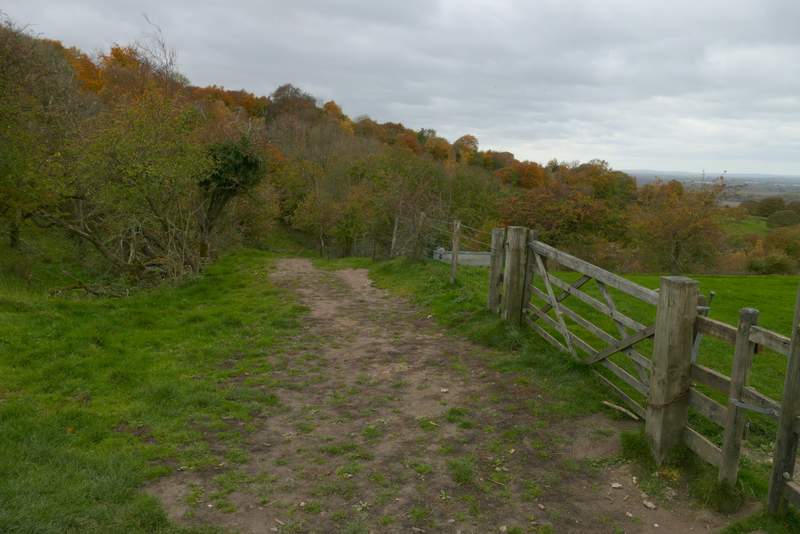
The bridleway back to Great Kimble
The bridleway back to Great Kimble
The walk took me two hours and 50 minutes, 5-10 minutes less than the two previous times I've walked this route - sadly I think that's due to it being far less muddy this time, rather than me being any fitter! It was a very pleasant walk, partly because much of it was through woods which were close to their Autumn best. The route was undemanding, with no steep uphills and only one steepish downhill. That's not to say it was flat, there were some lengthy sections that were gently uphill or downhill.