Pete's Walks - Cholesbury, Marlin Chapel, Ashley Green (page 1 of 4)
If you are considering walking this route yourself, please see my disclaimer. You may also like to see these notes about the maps and GPX files.
I did this circular walk of about 9.5 miles on Wednesday, 11th March, 2026. It was a repeat of a walk I first did in October 2011, but today I did it in the opposite (clockwise) direction. It was the second time I'd walked it this way round having first done so in November 2026.
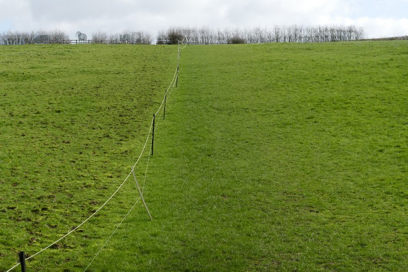
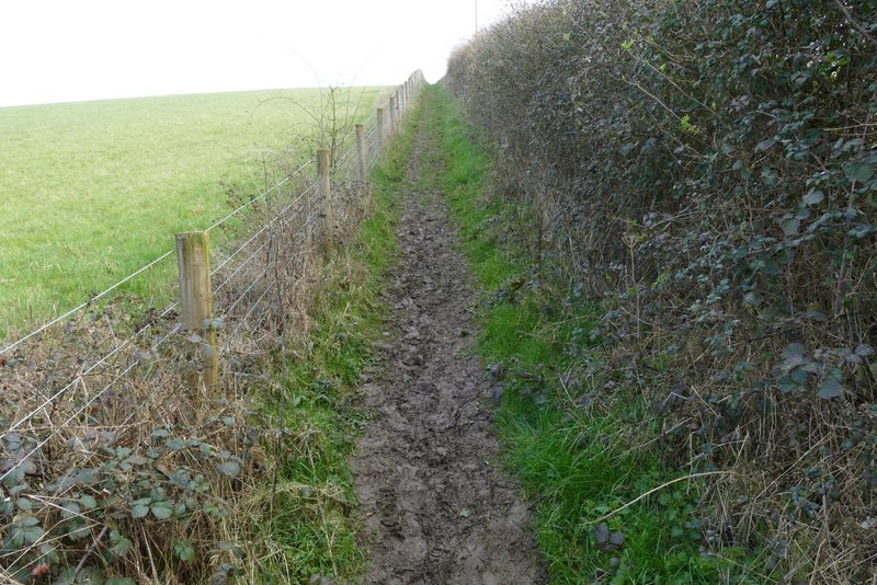
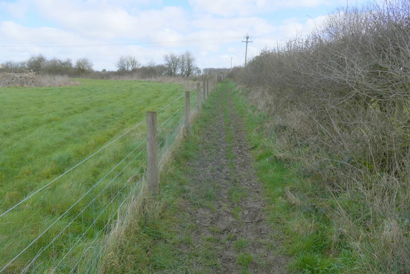
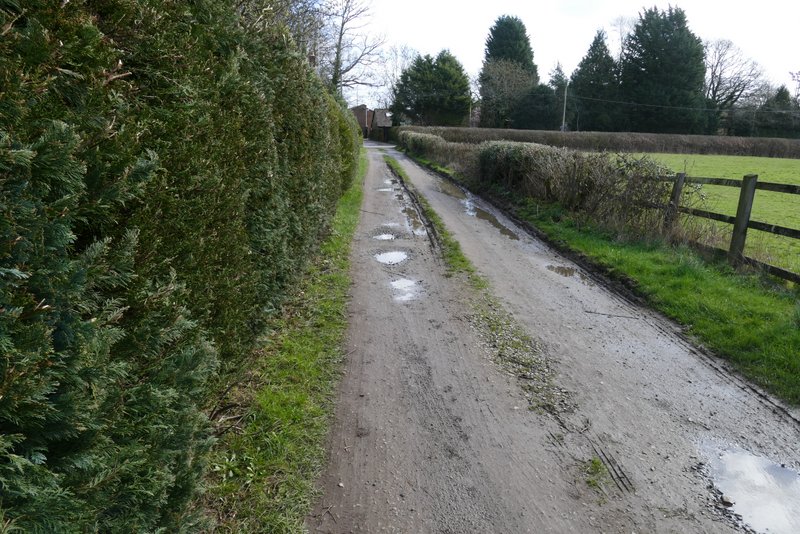
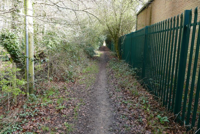
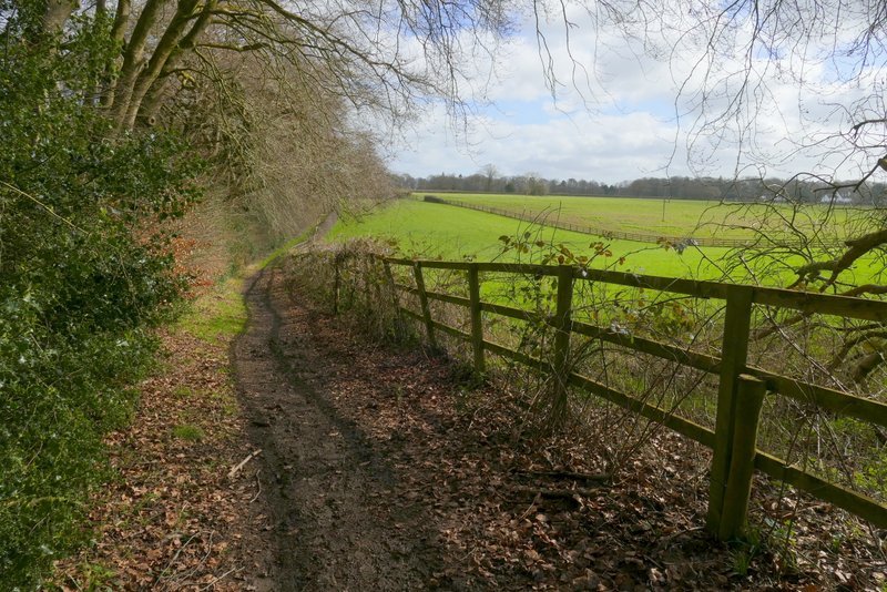
I parked by the cricket ground in Cholesbury (Grid Reference SP933071) and started walking about 9:50am, heading along the road away from the cricket ground. I took a footpath on the right when I reached Cholesbury's village hall - the path goes through two gates 20-30 yards apart, and then enters Cholesbury Camp, an Iron Age Hill Fort encircled by a line of beech trees. I immediately turned right, and the path soon went over two stiles in quick succession. The path then follows the top of the inner embankment of the ditch that surrounds Cholesbury Camp, but there were warning signs about a danger from falling branches and I chose to follow the bottom of the ditch instead. Where the path crosses the ditch (the bottom of the ditch is raised slightly here) I turned right and left Cholesbury Camp, a short path taking me to a lane. I went a few yards left along the lane, then took a path on the other side. This led through a wood to reach a driveway and a road. Across the road I followed a path along a broad strip of grass on Cholesbury Common for one or two hundred yards, as far as a metal kissing-gate on the left.
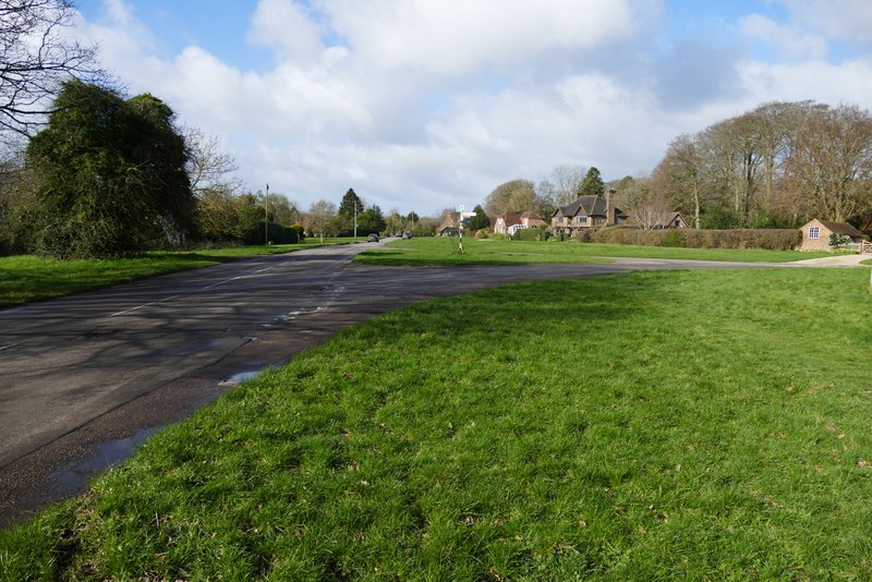
Cholesbury
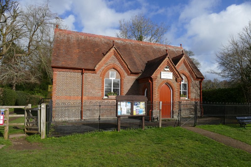
Cholesbury Village Hall
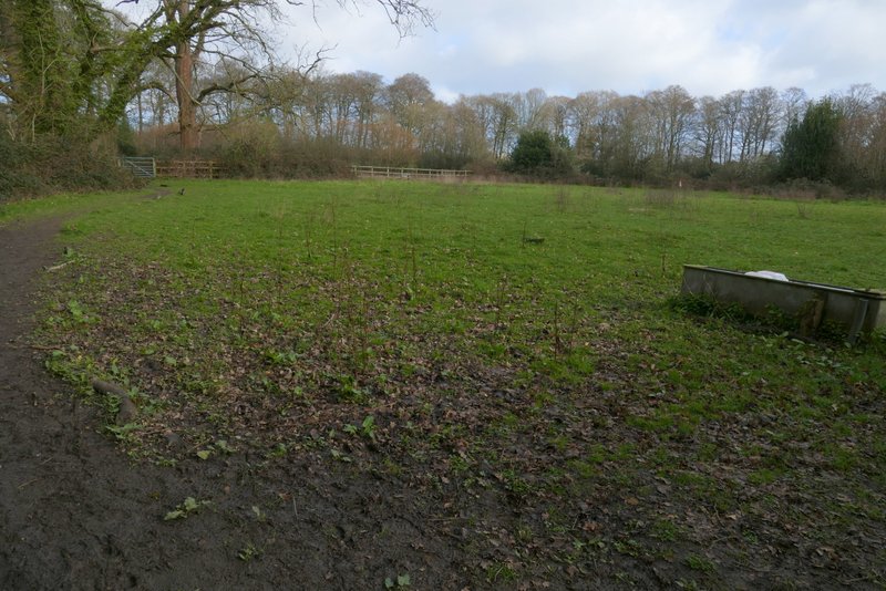
Inside Cholesbury Camp
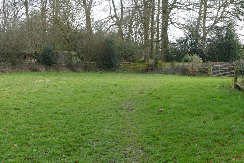
The path inside Cholesbury Camp (after I turned right)
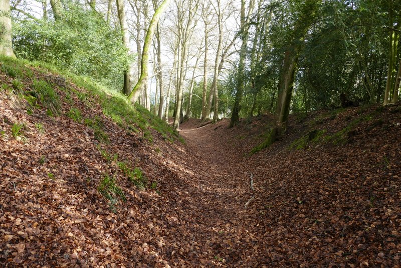
The path continuing along the ditch that encircles Cholesbury Camp
The path after I turned right from Cholesbury Camp
The path after I crossed a lane
The path on Cholesbury Common, after I crossed a road
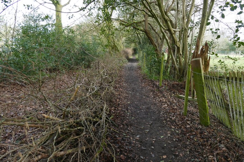
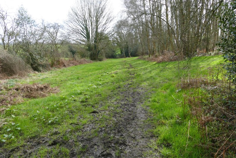
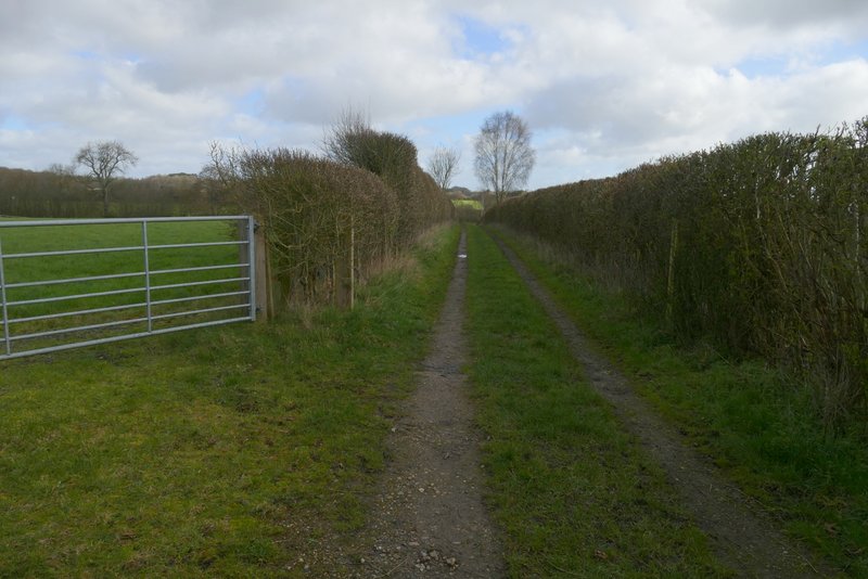
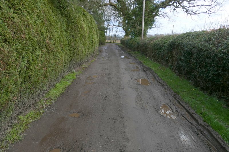
Through the gate, a path led uphill through an empty meadow or paddock. After levelling out, the path then went through gates either side of a smaller field. Beyond this, I turned left onto a farm track, and followed it gently downhill for several hundred yards to reach a track junction by Tring Grange Farm. Here I turned right for a few yards, then took a path on the left. This went uphill a short distance, then ran flat as it passed a second field on my left, before continuing along a drive to reach a road.
The start of the path from Cholesbury Common
The track leading to Tring Grange Farm
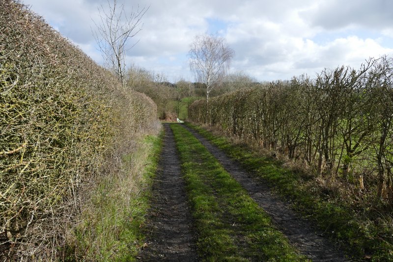
The track leading to Tring Grange Farm
The track leading to Tring Grange Farm
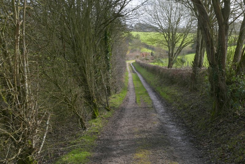
The start of the path from Tring Grange Farm
The path from Tring Grange Farm
The path from Tring Grange Farm
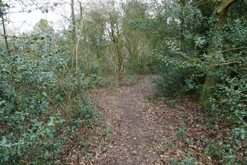
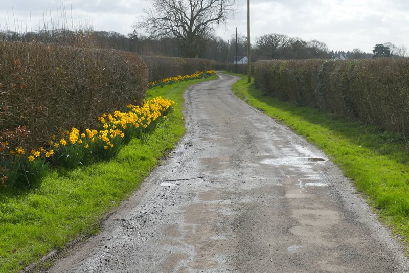
After crossing the road I continued down a path on the other side, soon with a tall green fence on my right. After this ended, the path went down and up a very slight dip to reach some houses near Lodge Farm (that's the name on the map, anyway). I followed the drive from the houses, which soon turned right and ran for a few hundred yards to reach another road.
The path to Lodge Farm, after crossing a road
The path to Lodge Farm
Near Lodge Farm, just before the drive turns right
The drive from Lodge Farm