Pete's Walks - Ashridge Estate Boundary Trail - South (page 4 of 5)
If you are considering walking this route yourself, please see my disclaimer. You may also like to see these notes about the maps and GPX files.
I turned right and followed the drive past the farmyard. Shortly beyond the farmyard gate I took a path going half-right, and followed it through another area of trees and bushes to a junction with a bridleway, where I turned half-right again and soon reached the Ringshall-Northchurch road. Across the road the bridleway continued, soon reaching a drive. The old Ashridge Estate Boundary Trail went left here, but the 'Ashridge Estate Boundary Trail - South' now goes straight on. When the bridleway left the trees I turned left along another bridleway, with the huge grassy part of Northchurch Common on my right.
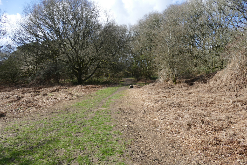
The bridleway going half-right just after Northchurch Farm
The bridleway going half-right just after Northchurch Farm
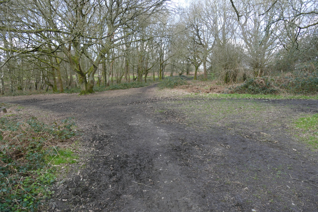
The bridleway after I turned right at a bridleway junction
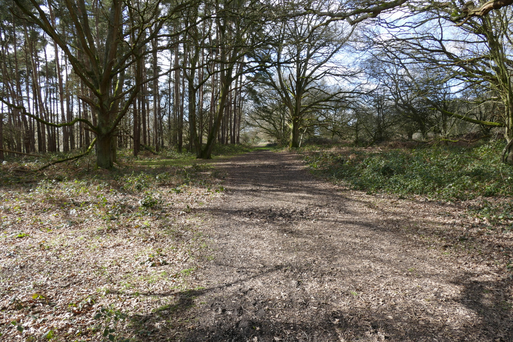
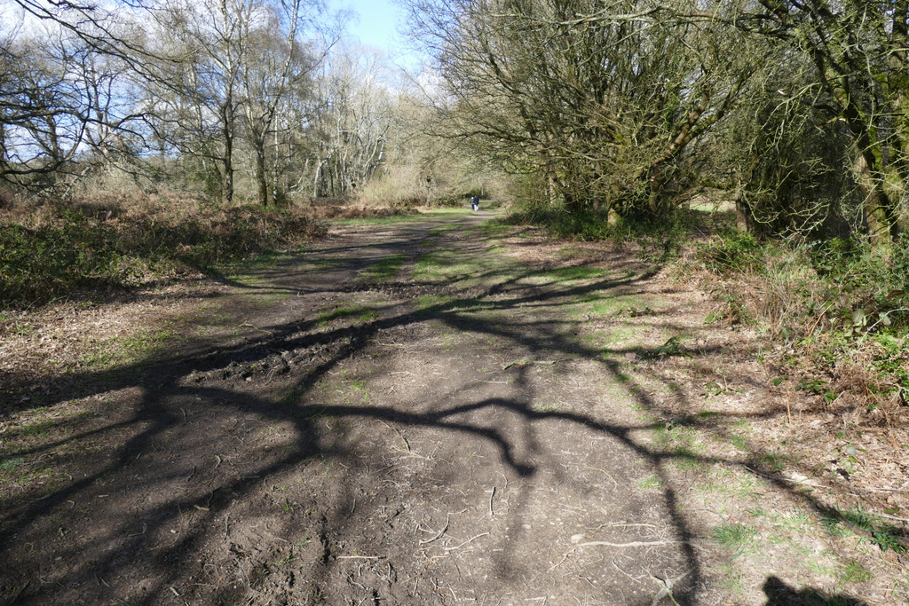
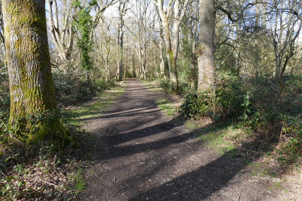
The bridleway on the other side of the Northchurch-Ringshall road
The same bridleway after crossing a drive
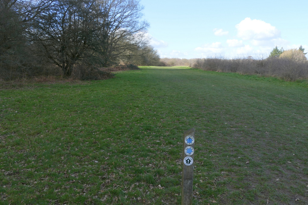
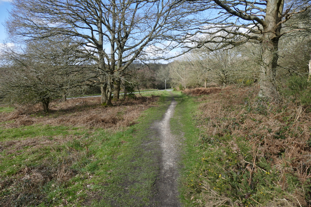
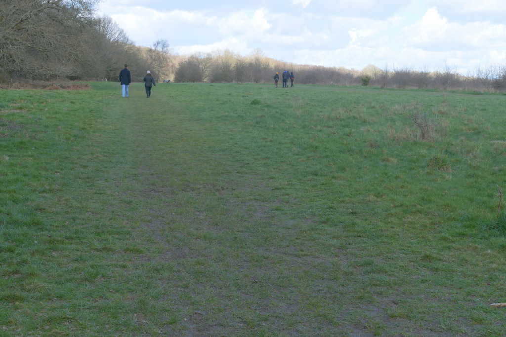
The bridleway that follows edge of the huge grassy part of Northchurch Common
Further along the same bridleway
On reaching a corner of the grassy common, I continued half-right through a bit of woodland (now back on the route of the old Ashridge Estate Boundary Trail). The bridleway soon emerged from the trees and continued along another edge of the grassy common. After a while I took a bridleway forking left, back into the trees. There were then a number of junctions in quick succession, I think I went left, then right and then kept left (there were waymarks to guide the way, anyway). I was then on a bridleway that ran for several hundred yards with the edge of the wood a few yards to my left. At one point I was unsure which way to go at a fork - there was no waymark, but I correctly guessed I needed the right fork (the OS map shows this may have been a crossroads with a footpath crossing the bridleway at an angle, but there were no signs or waymarks and I didn't notice a path going sharply right). Eventually I reached a road, with the Tom's Hill car park just to my right.
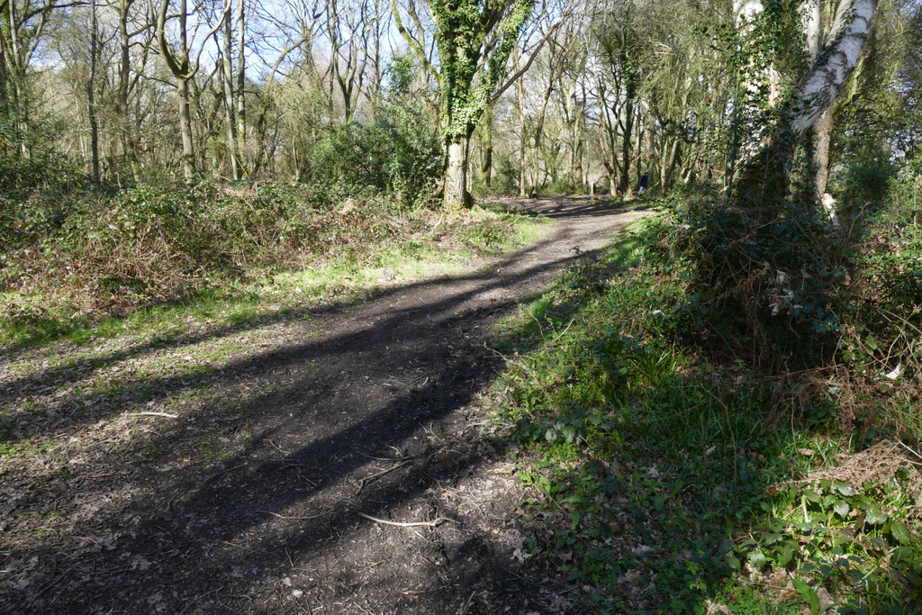
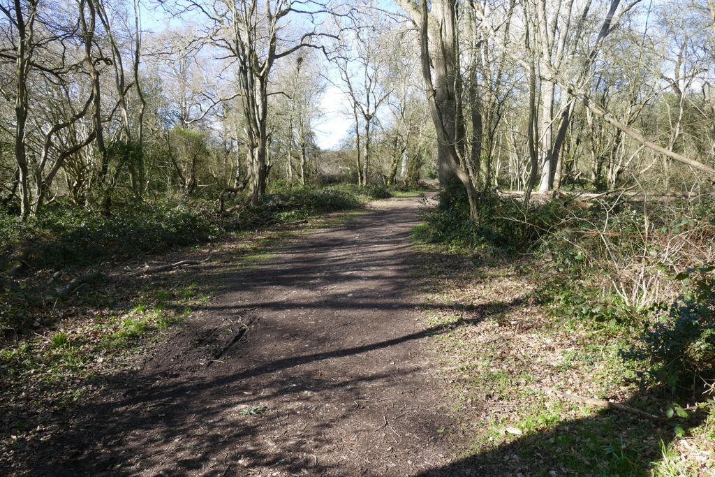
The same bridleway after it enters the wood
The same bridleway after it leaves the wood
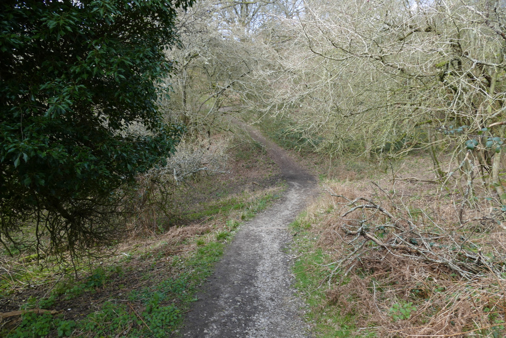
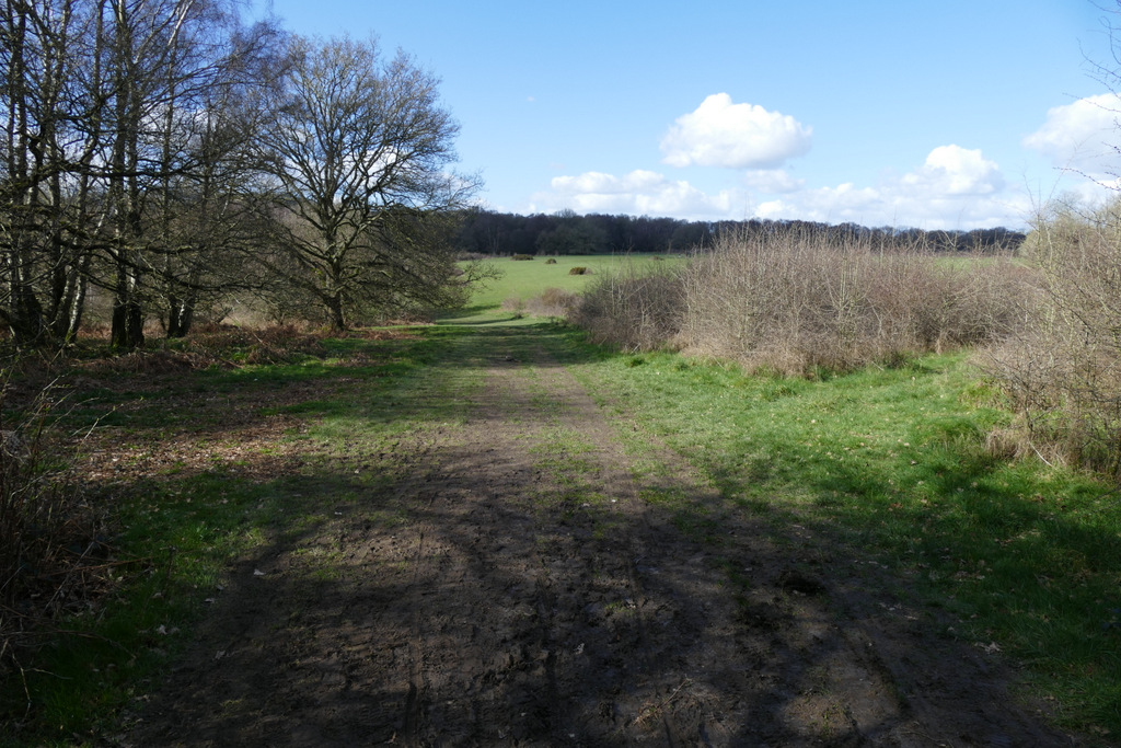
The bridleway after I forked left from the huge grassy part of Northchurch Common
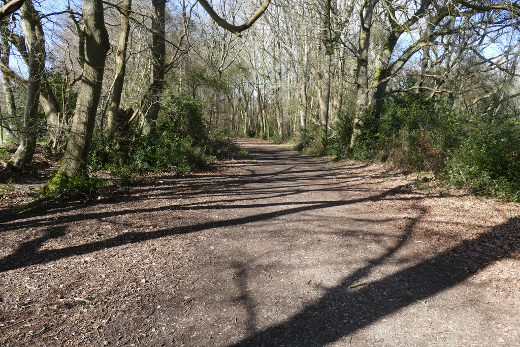
The bridleway after I turned right and then kept left
Further along the same bridleway
The bridleway after keeping right at a fork