Pete's Walks - Little Missenden, Winchmore Hill, Amersham Old Town (page 4 of 4)
If you are considering walking this route yourself, please see my disclaimer. You may also like to see these notes about the maps and GPX files.
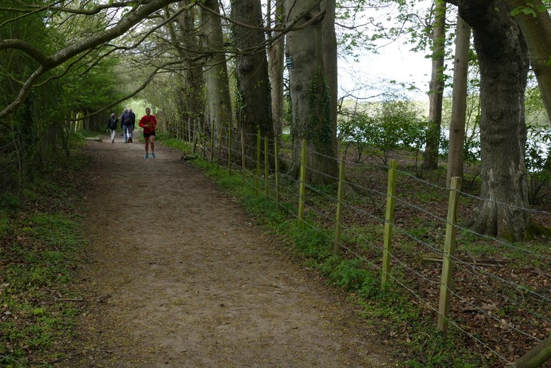
The Platt led to a cemetery, where a footpath continued just to the right. This ran for a few hundred yards between fences and hedges, crossing a drive at one point, and finally passing through a small area of trees and up some 'steps' to reach the A413 main road. Across this I went over a stile (a little to the right) and bore right, passing to the left of some bushes. On reaching a drive, I crossed over and took the rightmost of two paths, going half-right across a field. At the end of this path, I went through a small gate and crossed a second drive (going to Shardeloes, a large white house, now apartments, on top of the hillside on my left), then followed a drive past a cricket pitch. From near its end, behind the pavilion, I went half-right across some grass to where a path started just left of a small gate. The path then led between trees for a short distance, then beyond a gate entered the parkland below Shardeloes, with a lake on my right where the river Misbourne had been dammed. As always it was very pleasant strolling through here. After several hundred yards the path went slightly left to another gate, and then a little further on it joined a track. A few hundred yards further on it brought me to another gate and a junction with another track (Mop End Lane).
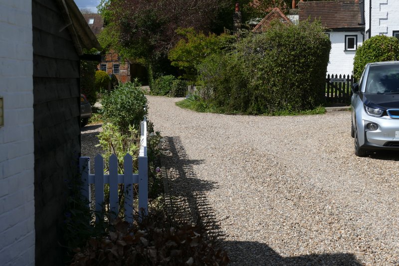
The Platt
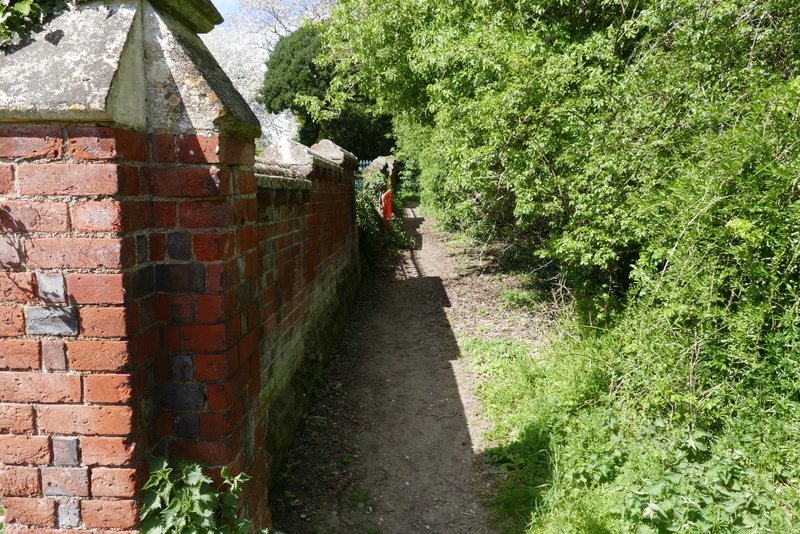
The start of the path next to Platt Cemetery
Further along the path
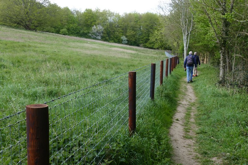
Further along the path
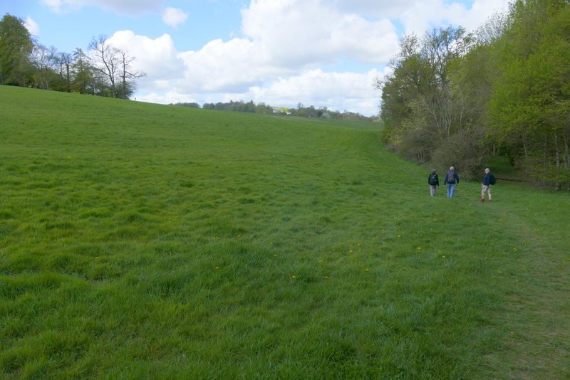
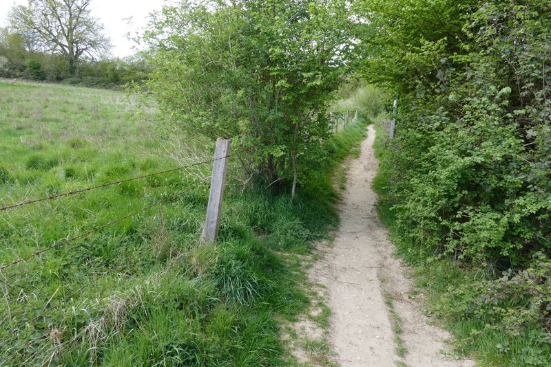
The path on the other side of the A413
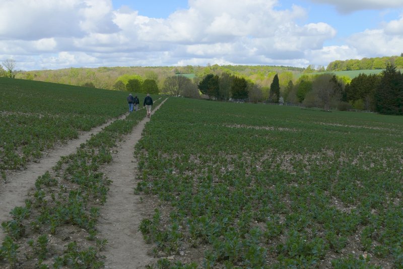
The path on the other side of the A413, after crossing a drive and forking left
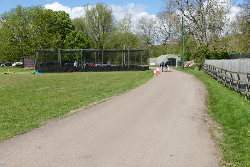
The drive at the cricket ground
The path starting from the cricket ground, in the grounds of Shardeloes
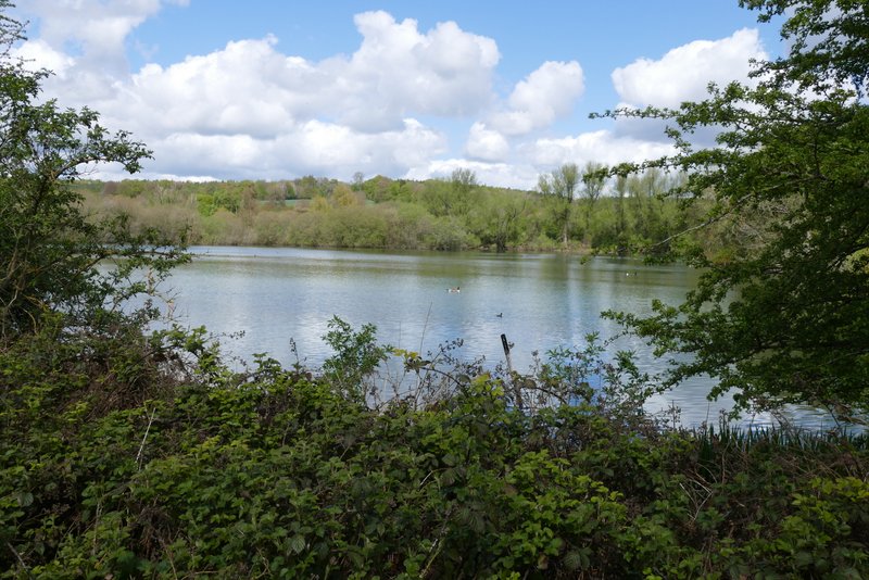
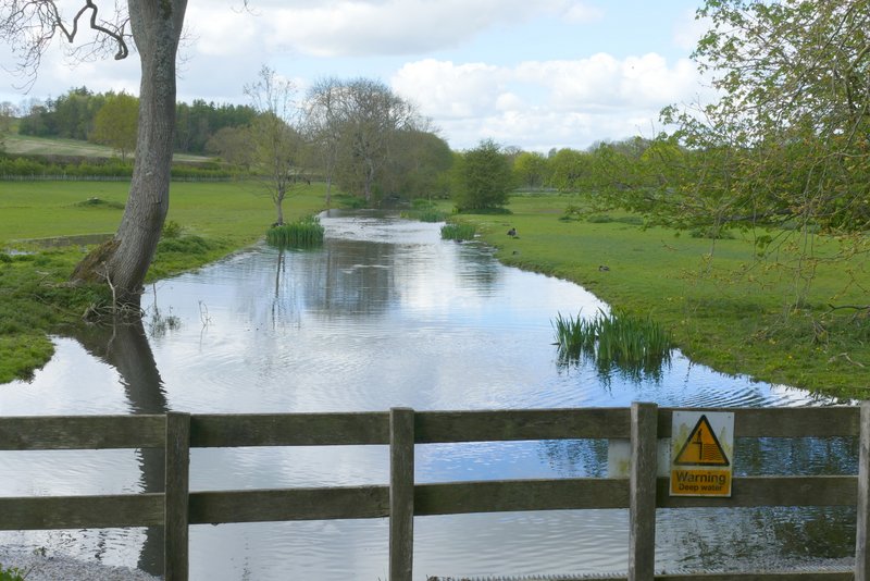
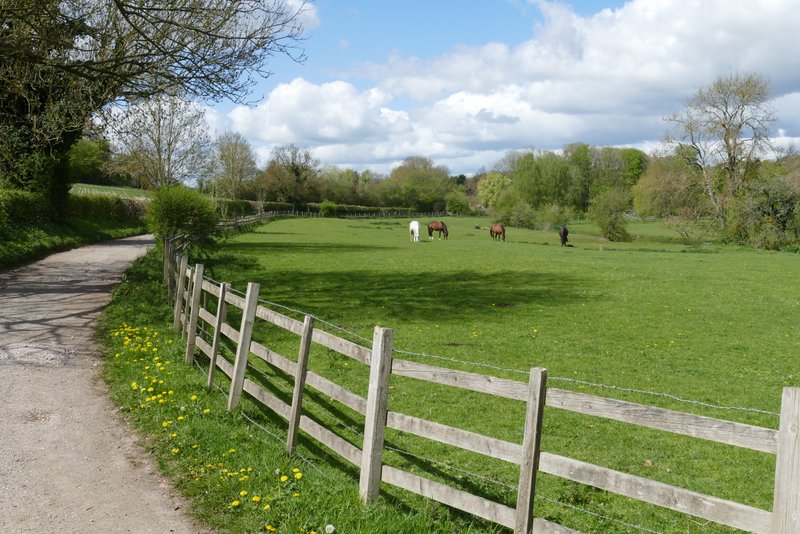
The man-made lake below Shardeloes
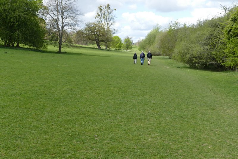
The path through the grounds of Shardeloes
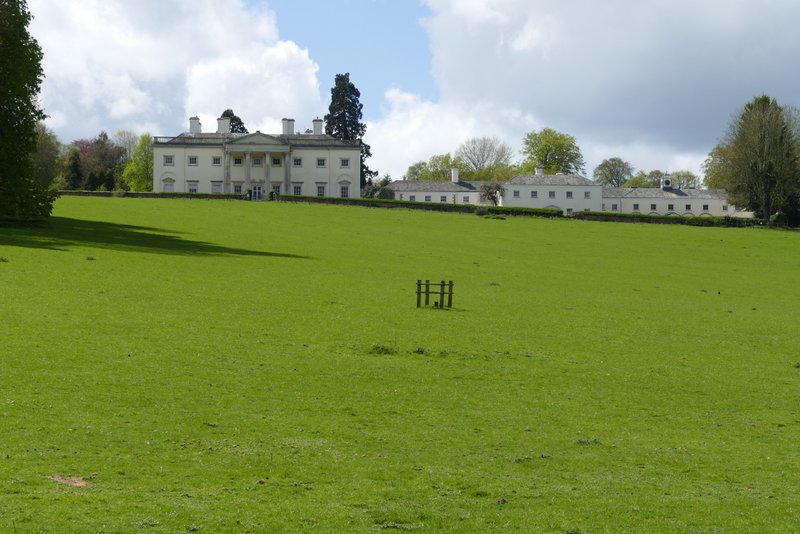
Shardeloes
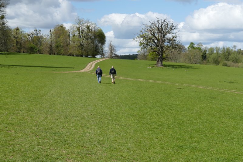
The path through the grounds of Shardeloes
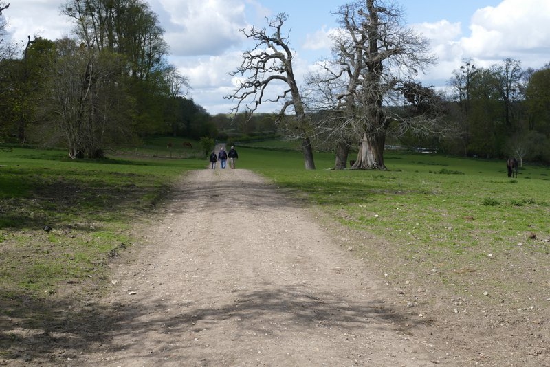
The path through the grounds of Shardeloes
I took a short detour to the right to have a look at the river, then rejoined the track and continued along the valley for about another half mile, until it reached the minor road through Little Missenden. I turned left, and followed the road through the attractive village for just under half a mile to return to the village church and my parked car.
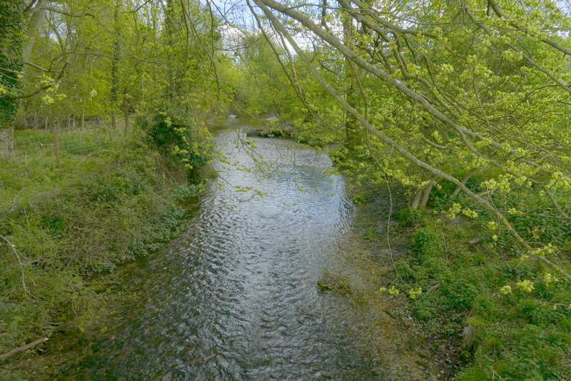
The river Misbourne, looking east
The river Misbourne, looking west (towards Little Missenden)
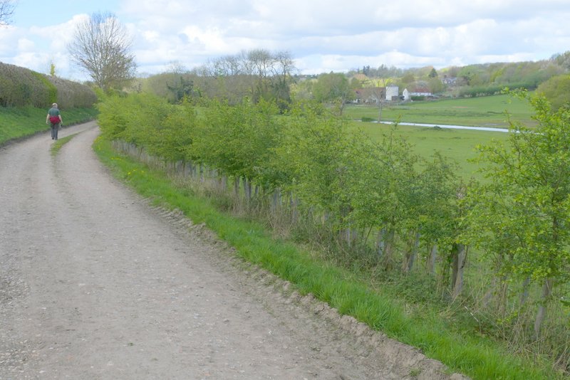
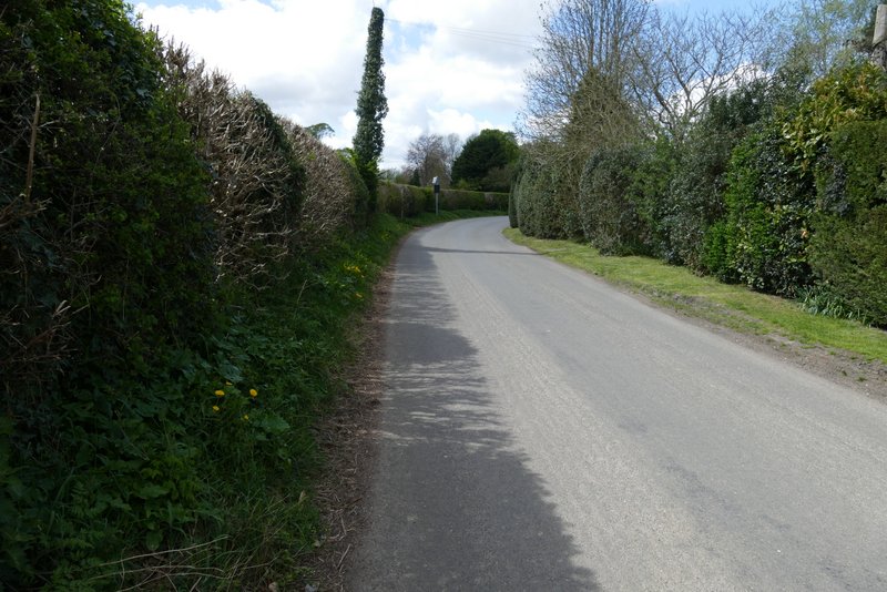
The path through the Misbourne valley continuing towards Little Missenden
The path through the Misbourne valley continuing towards Little Missenden
The lane through Little Missenden
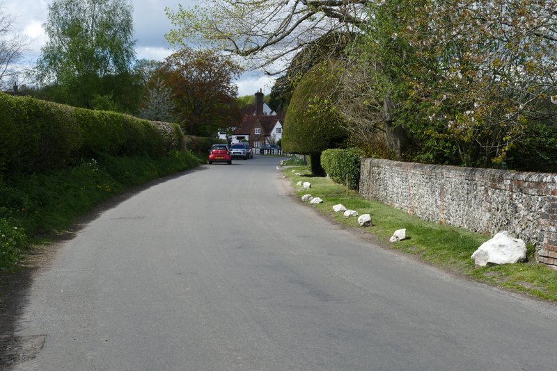
The lane through Little Missenden
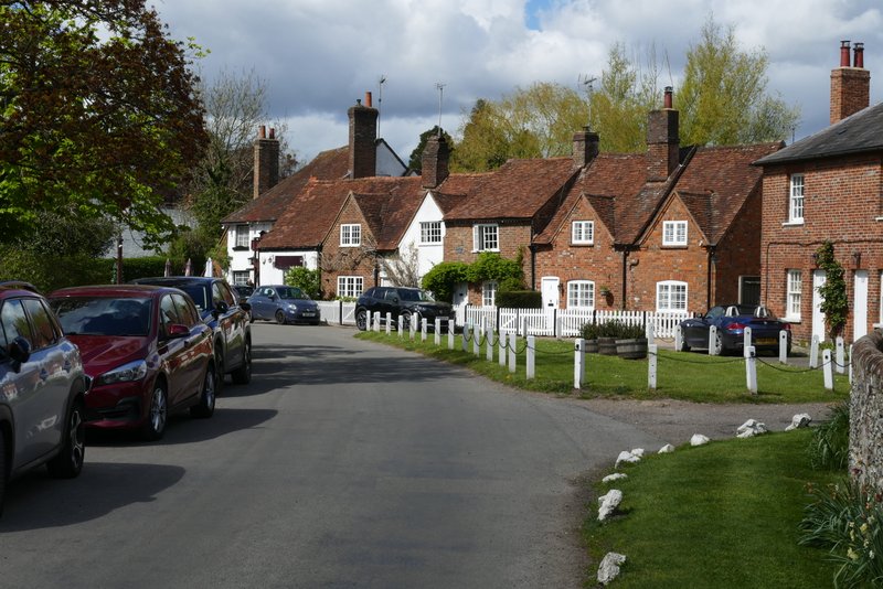
Little Missenden
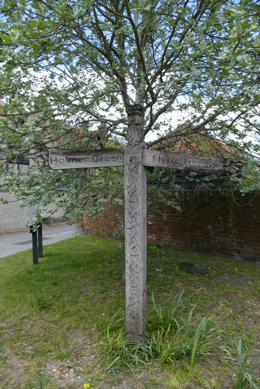
Wooden signpost, Little Missenden
This was a very pleasant walk on a lovely Spring day, with numerous wildflowers to be seen (I also saw two Holly Blue butterflies along The Platt in Amersham Old Town). I even enjoyed the section between Priestlands Wood and Coleshill, which I've walked so often that I'm usually a bit bored with it (I've studied my maps several times looking for a viable alternative, but to no avail). I did the walk in about three and a half hours, which meant I averaged almost 2.7mph, which is very good for me nowadays. But that was due to the fact that it was such a flat route, with the only really uphill parts being one right at the start (to and then along Toby's Lane) and then a shorter and even gentler rise near Coleshill House. It's certainly one of the easiest 9-10 mile walks I've done in the Chilterns.