Pete's Walks - Chenies and the Chess Valley (page 3 of 4)
If you are considering walking this route yourself, please see my disclaimer. You may also like to see these notes about the maps and GPX files.
The path went through a small enclosure and through a gate. It crossed part of an irregularly shaped pasture to near the corner of a hedge and continued along the valley, with the river Chess away to my right. After a while there was an area of bushes and reeds over on the right, the site of the old church of Flaunden (it was abandoned due to frequent flooding in the early 1800's, when the whole village moved to its present site). The path continued on beside a hedge on my left and then further on ran between hedges for a while, now with the river much closer by on the right. After running between fences for a while, it eventually reached a farmyard and a lane at Chenies Bottom.
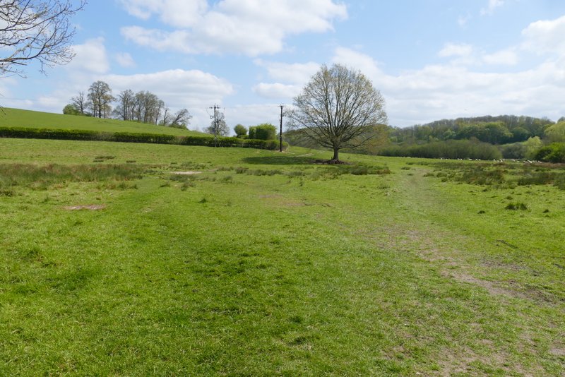
Near the start of the path from Latimer to Chenies Bottom (it goes to the left of the tree, though there seems to be a new path going to the right of the tree)
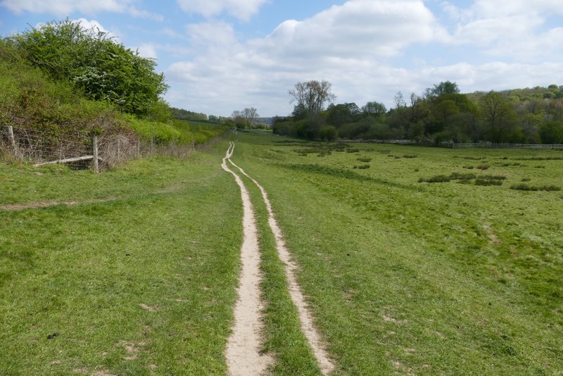
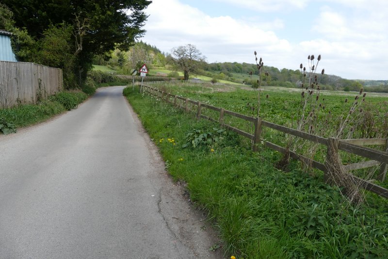
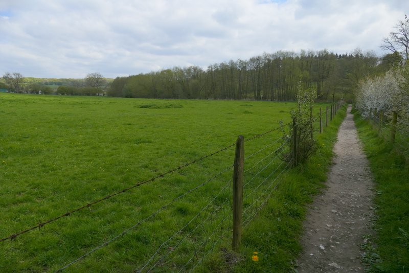
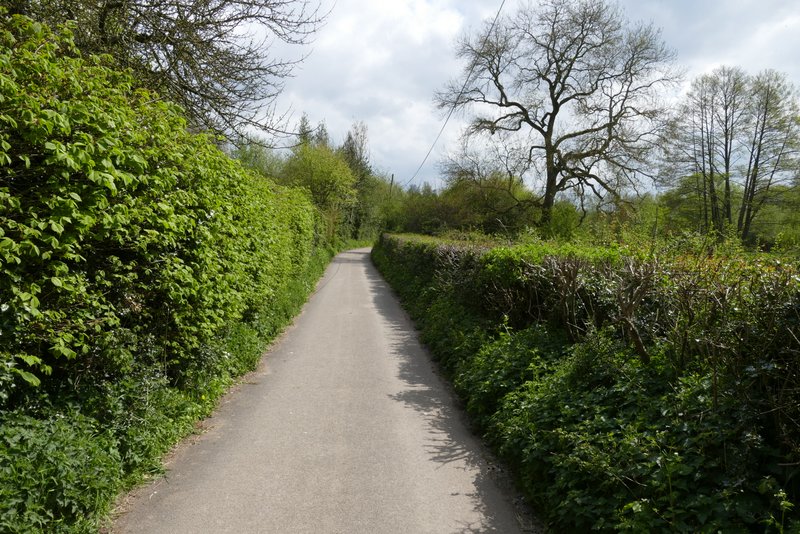
The path from Latimer to Chenies Bottom
The path from Latimer to Chenies Bottom
The path from Latimer to Chenies Bottom
The path from Latimer to Chenies Bottom
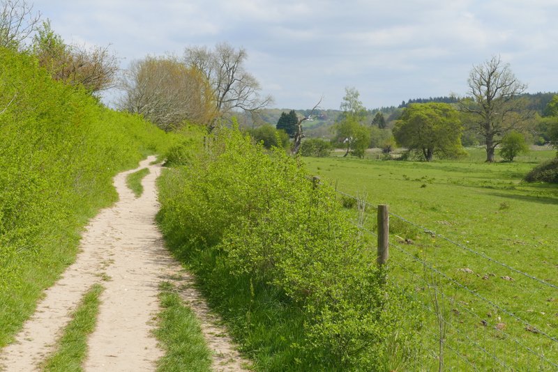
Approaching Chenies Bottom
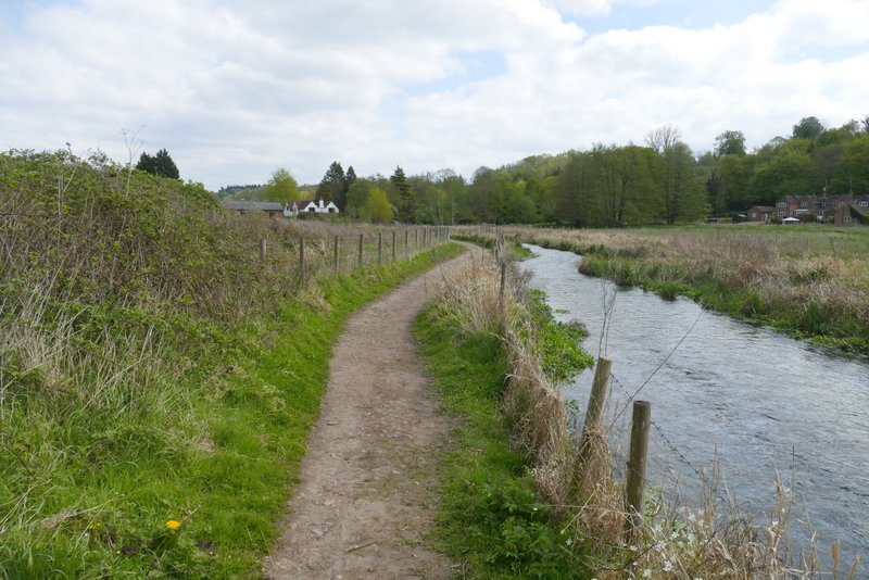
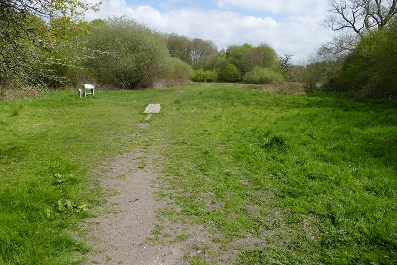
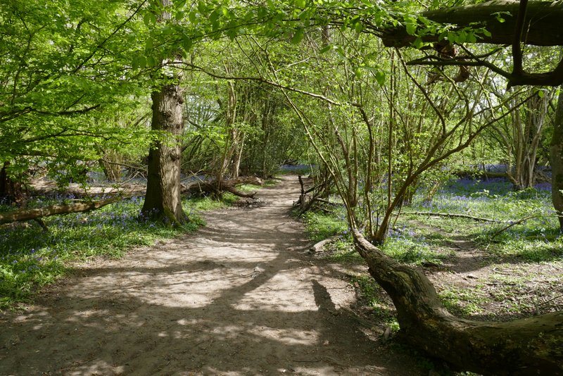
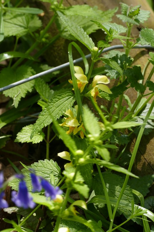
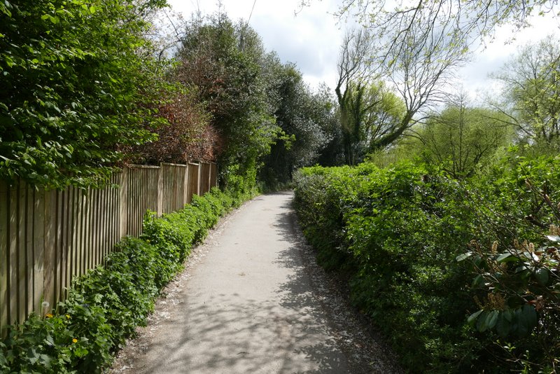
I took a photo of the river from the bridge just to my right, then went a short distance left along the lane and took a footpath on the right. The footpath ran between wooden fences, continuing eastwards along the valley. When I walked this route in 2015 it had been so muddy I'd had to occasionally cling on to the fences, but the path was fine today. When the fences ended, the path continued across a meadow (part of Frogmore Meadows nature reserve) and then passed through a small area of trees - I saw my first Yellow Archangel of 2026 here. The path then continued for several hundred yards between fences, with fields and then paddocks on my left and nice views ahead along the valley.
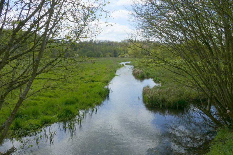
Looking east along the river from the bridge at Chenies Bottom
The lane at Chenies Bottom
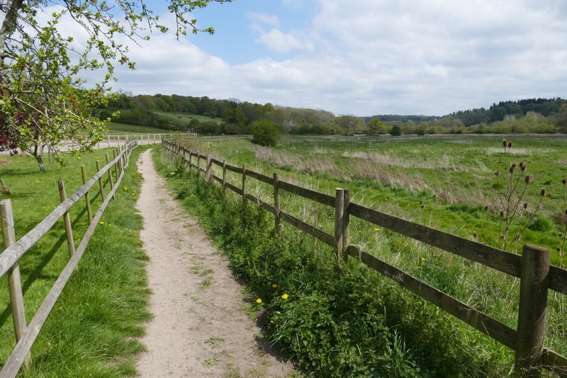
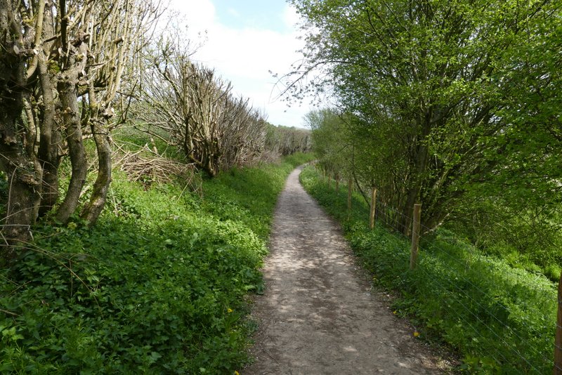
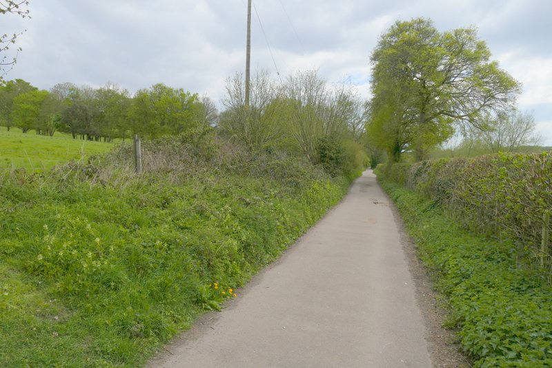
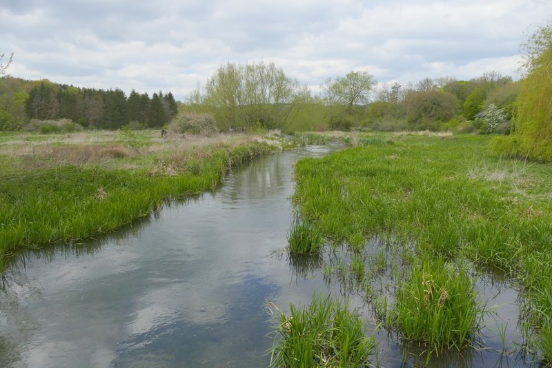
The path continuing along the Chess Valley from Chenies Bottom
The path continuing along the Chess Valley from Chenies Bottom, now at Frogmore Meadows nature reserve
The path continuing along the Chess Valley from Chenies Bottom
The path continuing along the Chess Valley from Chenies Bottom
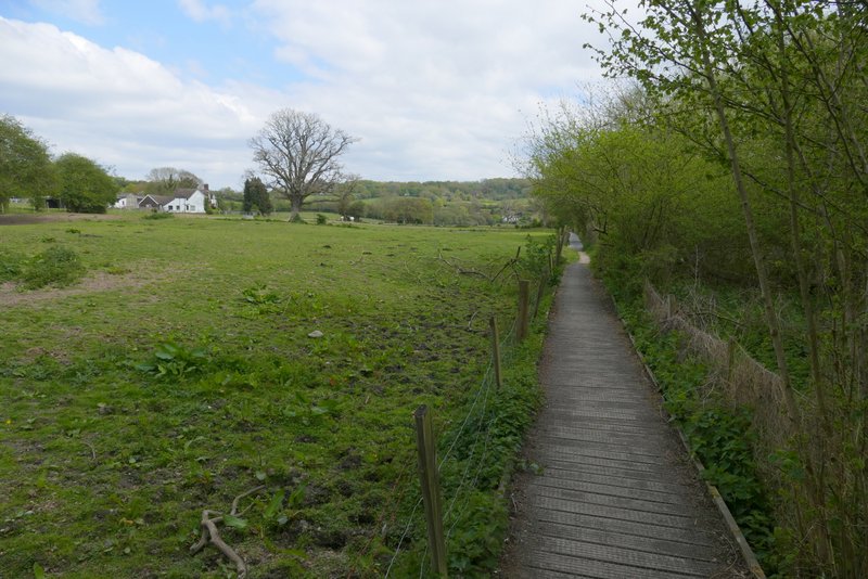
The path continuing along the Chess Valley from Chenies Bottom
The path eventually reached a surfaced drive close to a commercial cress-growers on my right (actually I'm not sure it's still in business), where I continued straight ahead down the drive. At the end of the drive I turned right and followed a lane and then a path to reach Sarratt Bottom. I took a brief detour here by going a few yards right to a footbridge to take some photos of the river.
The drive from the commercial cress beds
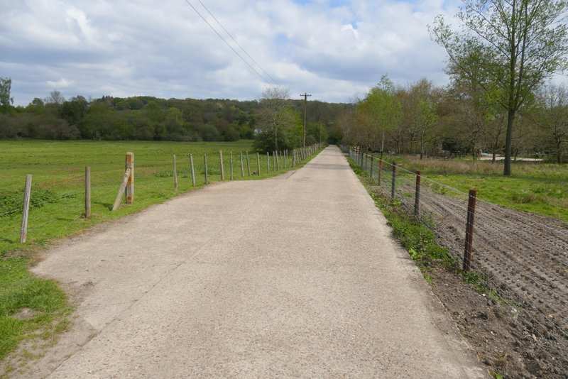
The lane to Sarratt Bottom
The lane to Sarratt Bottom
The lane to Sarratt Bottom
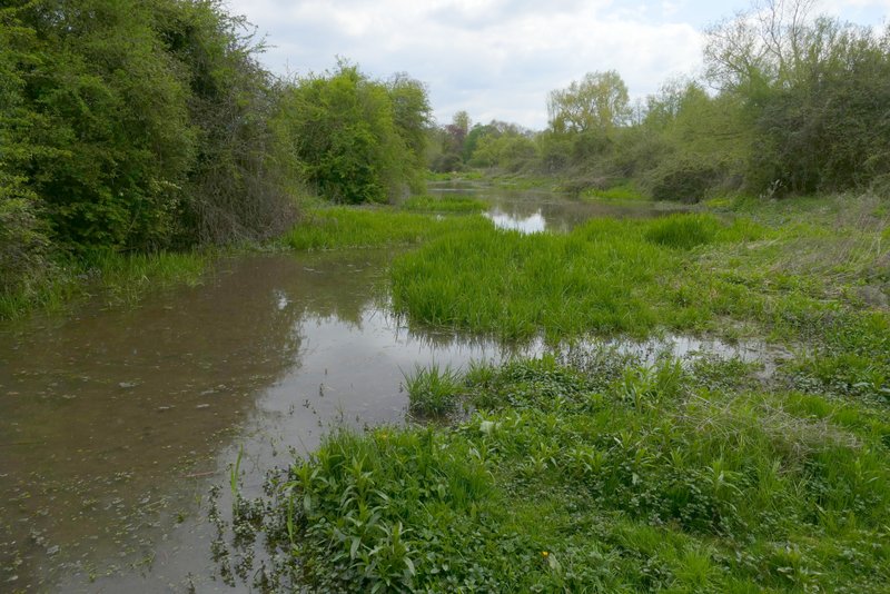
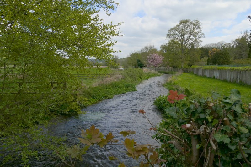
Flood water from the river Chess at Sarratt Bottom
Looking north along the river Chess, from the footbridge at Sarratt Bottom
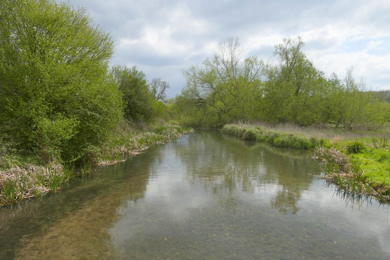
Looking south along the river Chess, from the footbridge at Sarratt Bottom