Pete's Walks - Marsworth and Wigginton (page 4 of 4)
If you are considering walking this route yourself, please see my disclaimer. You may also like to see these notes about the maps and GPX files.
Immediately before reaching the road that runs along the northwestern edge of Tring, I turned right along a path with a hedge between me and the road. After a short while a waymark indicated the footpath went through a gap in the hedge and I continued along the pavement next to the road. There was a pleasant view looking right, towards the Vale of Aylesbury. Just after a small garage on the left I took a footpath on that side that started down what looked like a lane but was just the drive to Miswell Farm. The drive was lined by tall trees either side as it dropped downhill. Beyond the farm (on my right) the footpath continued straight on down a hedge-lined farm track. This brought me to the Wendover Arm of the Grand Union Canal, which I crossed on a footbridge (the bridge seemed to be the boundary between the section of canal that has been restored and the section that is yet to be restored).
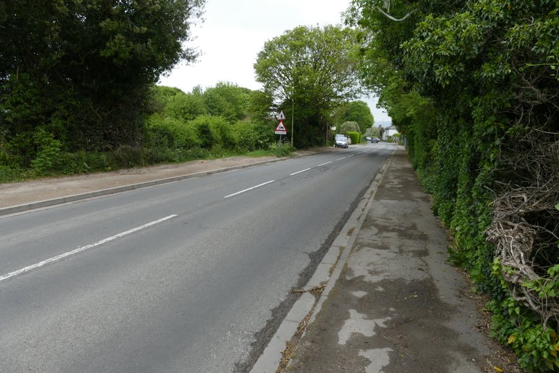
The road on the edge of Tring
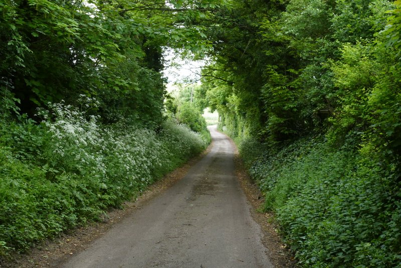
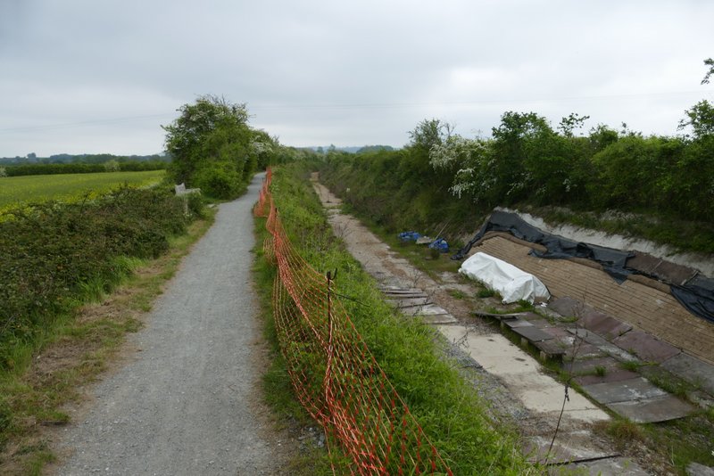
The footpath going north from Tring to the Wendover Arm of the Grand Union Canal
The footpath going north from Tring to the Wendover Arm of the Grand Union Canal
The footpath going north from Tring to the Wendover Arm of the Grand Union Canal
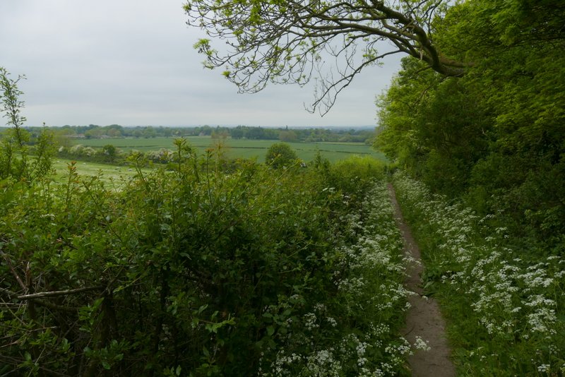
The footpath going north from Tring to the Wendover Arm of the Grand Union Canal
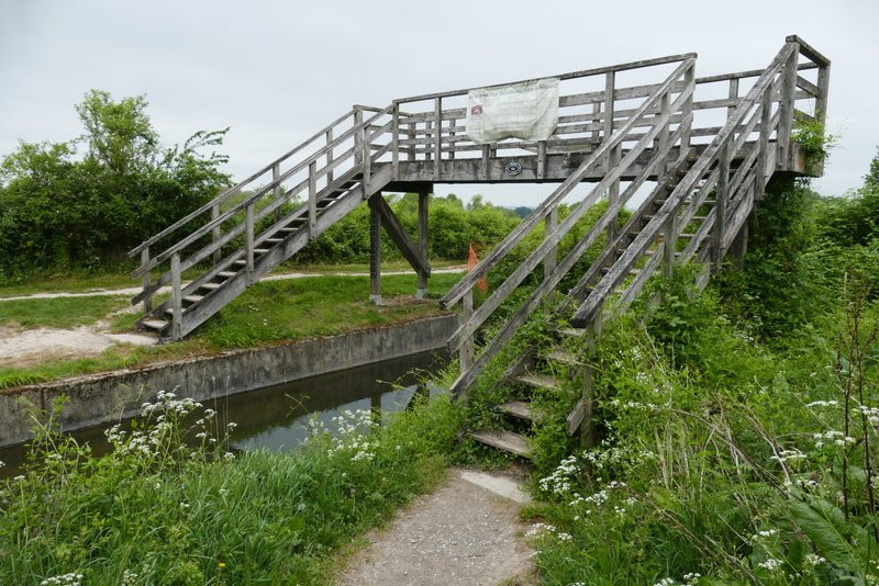
The footbridge over Wendover Arm of the Grand Union Canal - under the footbridge you can see the barrier where the restored section of the canal ends
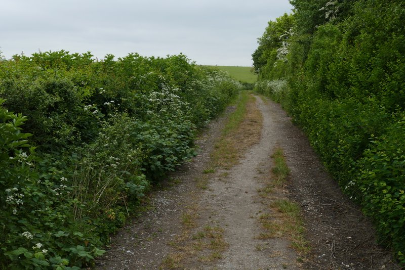
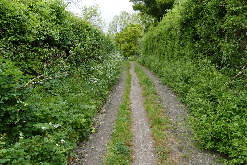
I turned right along the towpath (back on familiar territory again) and continued along it for about half a mile (passing two or three seats). The path then moved away from the canal to reach a lane where I turned left (usually I go right to rejoin the canal towpath and follow it to Bulbourne). I soon came to a lane junction, where I turned right into Wiggles Lane. This lane soon turned left, and then I immediately took a path on the right.
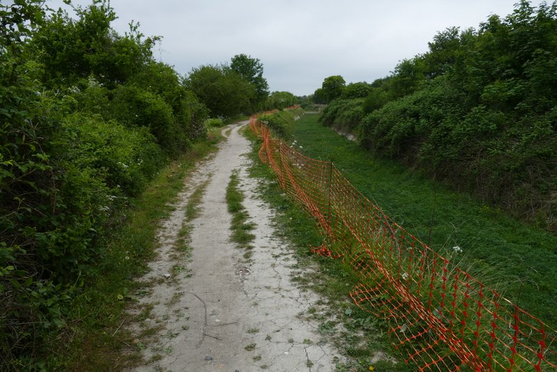
The Wendover Arm of the Grand Union Canal
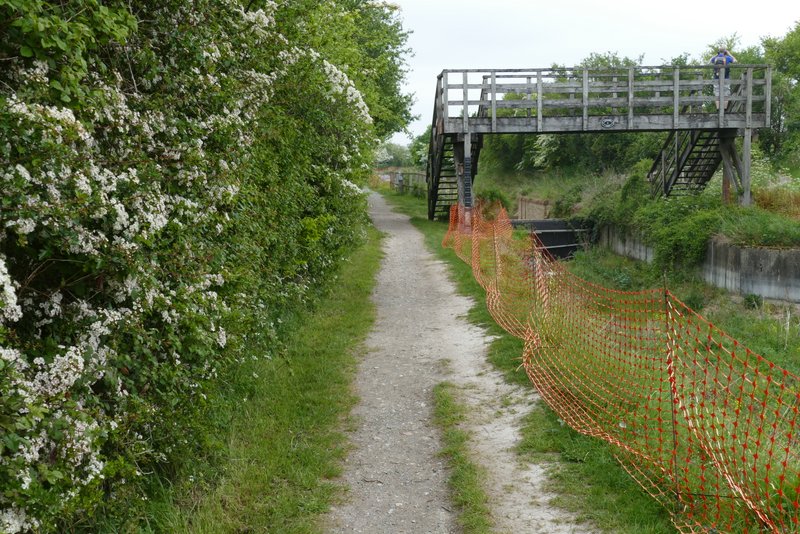
The Wendover Arm of the Grand Union Canal
The Wendover Arm of the Grand Union Canal
The Wendover Arm of the Grand Union Canal

The lane after I turned left from the canal
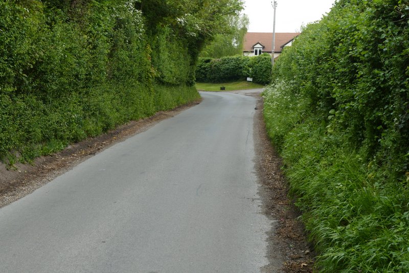
The lane after I turned right, Wiggles Lane
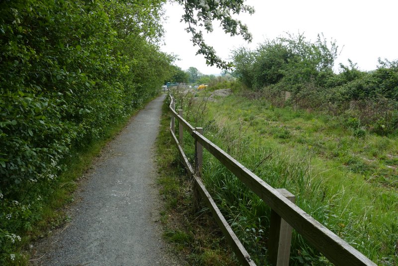
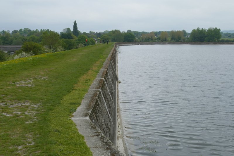
The path ran through a strip of grass between a field and a garden. Through a gate I then reached another path where I turned left only for the path to immediately turn right (so I had more or less gone straight on) and run along the northwestern side of Tringford Reservoir. At the end of the path I crossed a minor road, and turned left along a path that followed the southwestern side of Marsworth reservoir. The path turned right at the corner of the reservoir, and I continued along the next side of the reservoir. At the next corner of the reservoir I went down a flight of steps (the ones I'd come up near the start of the walk) to return to the car park, then turned right along the road through Marsworth to retrace my steps back to where I'd started.
The short path to Tringford reservoir
The path continuing along the northwestern side of Tringford reservoir
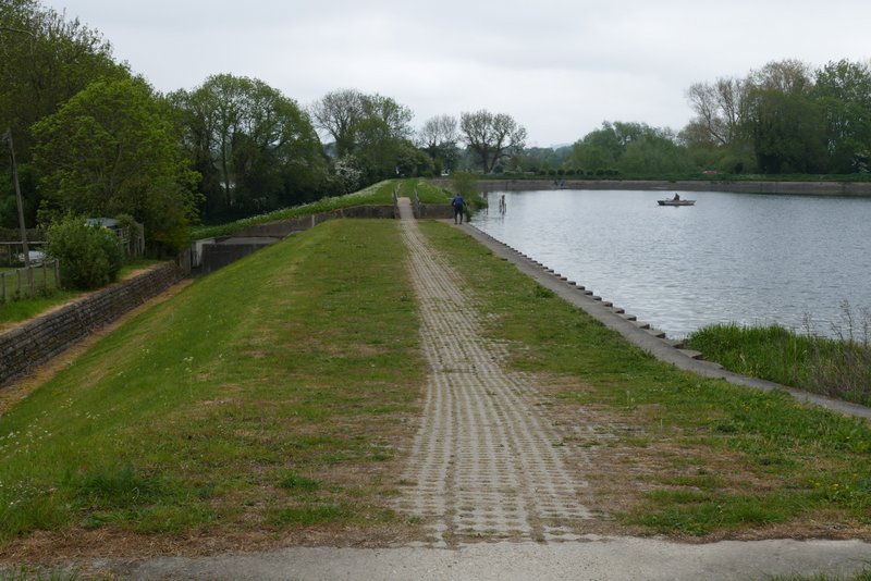
The path along the southwestern side of Startop's End reservoir
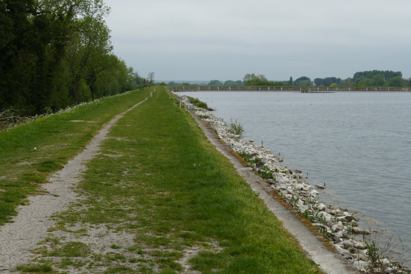
The path along the northwestern side of Startop's End reservoir
After a couple of weeks of warm and sunny weather, today was cold, grey and overcast. But I still enjoyed this walk, despite some road noise from the A41 and despite the short dull section on the very edge of Tring. It was a very easy 9.8 miles with no steep ups at all (though the path out of Tring park was steeper than I remembered). There was a very long uphill from Tring Station to Wigginton, but it was such a gentle gradient as to be almost imperceptible.