Pete's Walks - Christmas Common, Watlington, Fire Wood (page 1 of 4)
If you are considering walking this route yourself, please see my disclaimer. You may also like to see these notes about the maps and GPX files.
I did this circular walk of about 7.6 miles on Monday, 24th August, 2026. It was a new route for me, though only a couple of paths were new to me, the rest were ones I've previously walked on other routes. It included a short section of the Ridgeway national trail that I don't think I've walked since I did the Swan's Way in 2007, a couple of paths I'd not walked since before the Covid pandemic, and one path that I'd only walked a few times in the opposite direction. I devised this route so that near the end I could revisit a field near Northend where I'd seen some Clouded Yellow butterflies recently.
Driving from my home,I arrived at Christmas Common from the north, soon forking left at a junction and immediately parking on the right (Grid Reference SU 714933). I started walking at about 10.30am, going a few yards back to the junction and turning right. I went straight on where a road went left (to Watlington Hill), then a little further on took a path on the left. This followed the left edge of an empty pasture (everywhere was very brown today, after the succession of heatwaves we've had this summer). After two or three hundred yards, I took a path forking left.
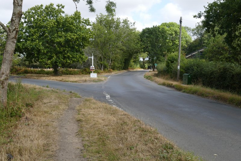
The road through Christmas Common
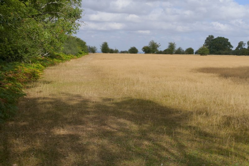
The path after I turned left from the road through Christmas Common
This was a new path for me, and unfortunately I have to say I was disappointed with it. On the OS map it looked as if it ran through fields or open countryside, so I thought there would be a nice view ahead of me as it dropped down the northern flank of Watlington Hill. But it started between tall hedges either side, then became a 'holloway' or sunken lane as it gently dropped downhill, with branches overhead blocking out any possible views. Normally I really enjoy walking along old paths like this, but I couldn't stop feeling that I'd somehow been 'cheated' out of the views over the Oxfordshire plain that I'd expected. Towards the bottom of the slope a couple of paths went off to my left, but I continued straight on until I came to a T-junction, where the path met the Ridgeway national trail
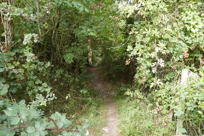
The path after I turned left again
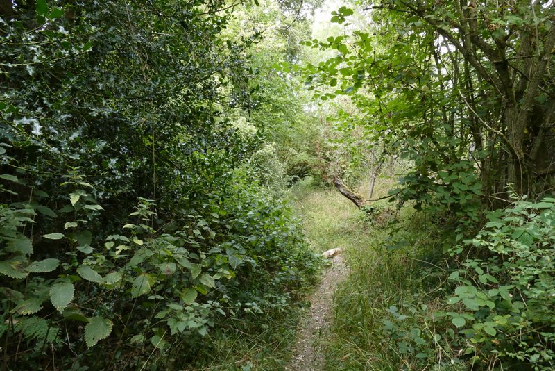
Further along the same path
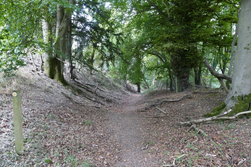
The same path, continuing down the northern flank of Watlington Hill
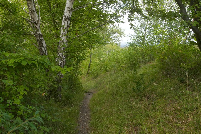
The same path, continuing down the northern flank of Watlington Hill
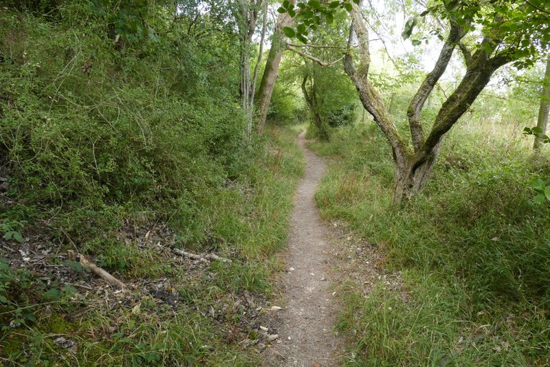
The same path, continuing down the northern flank of Watlington Hill
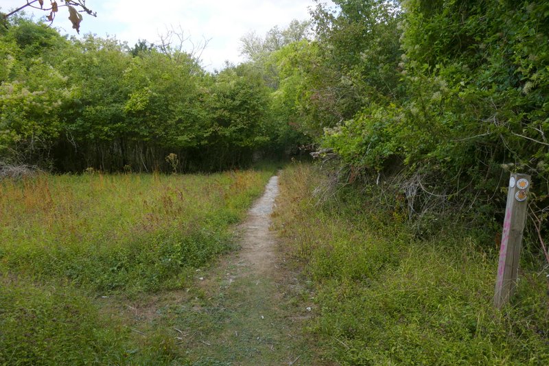
The same path, continuing down the northern flank of Watlington Hill
I turned left along the Ridgeway, quickly reaching the road that comes down Watlington Hill as it enters Watlington (to my right). Across the road I continued along the Ridgeway for a little over half a mile, until I reached a second road (Howe Road). Across the road a change seems to have been made since I was last here. The Ridgeway used to continue along a surfaced drive, with a permissive path over the hedge to the left of the drive (this is the way I usually went). But a bridleway sign now pointed down what had been the permissive path (there wasn't the acorn symbol denoting a national trail on the bridleway sign, so perhaps the Ridgeway still follows the drive). Anyway I followed the bridleway with the hedge and drive to my right, with a large stubble field on my left.
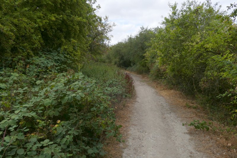
The Ridgeway after I turned left, heading to the road at Watlington
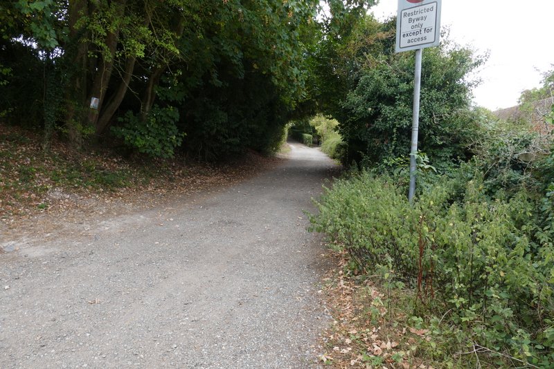
The Ridgeway after crossing the road at Watlington
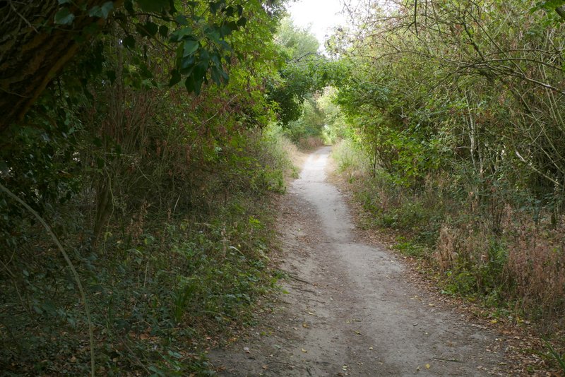
The Ridgeway
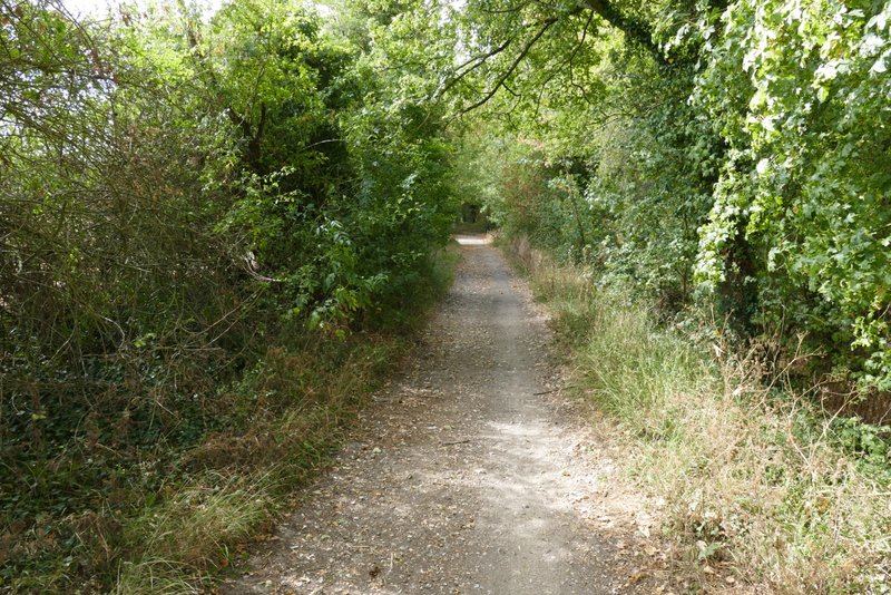
The Ridgeway
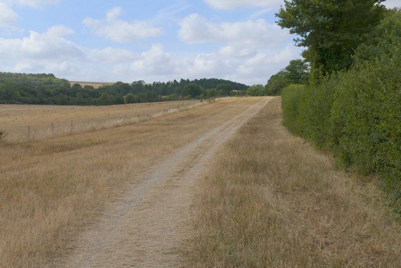
The Ridgeway, after crossing Howe Road
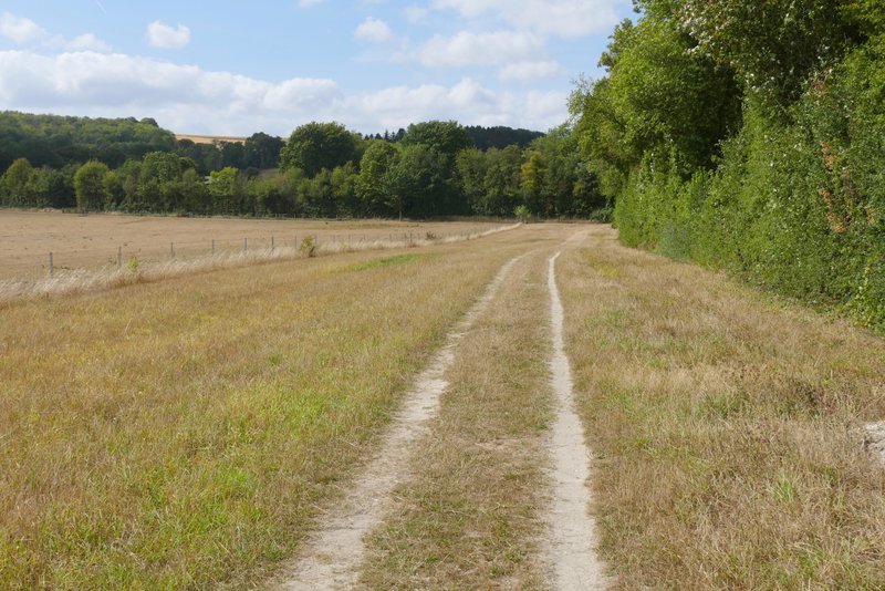
The Ridgeway