Pete's Walks - Beeches Way
About The Beeches Way
The Beeches Way is a 16-mile route in South Buckinghamshire. It was created by Buckinghamshire County Council together with the Iver and District Countryside Association.
The walk starts near the northern (Buckinghamshire) bank of the river Thames, though the nearest car park is across the river in the Berkshire village of Cookham. There is an alternative start in Bourne End on the Buckinghamshire side of the river "to avoid the busy Cookham Bridge", though this seemed unnecessary when I did the walk as there is a pedestrian path across the bridge. The walk ends in West Drayton, where the Grand Union Canal meets Yiewsley High Street. There are railway stations close to both ends of the walk.
The route passes through a variety of scenery. As well as mature woodlands, it passes through rare lowland heaths, a very unusual habitat in this part of the South-East.
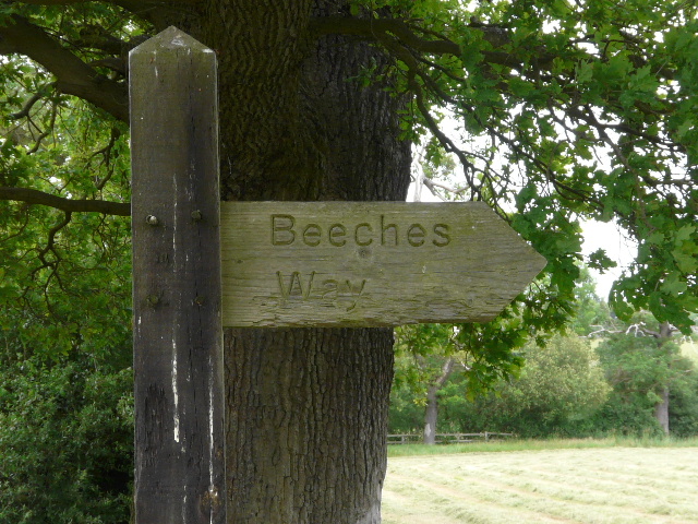
Beeches Way fingerpost, near Fulmer (the tree in the background is not a Beech but an Oak!)
A four-page leaflet about The Beeches Way can be downloaded as a PDF file from this Buckinghamshire County Council web site: walks and rides in Buckinghamshire (external link opens in new window) - most of the information in my journal is taken from this source. The route is also shown on the OS Explorer map 172, and is waymarked and signposted in both directions.
Click here to see a rough map of the Beeches Way (but only if you have already read my disclaimer and notes regarding maps).
Note: I have numbered each photograph (in red) and inserted the same number in the text to show where in the walk the photo was taken.