Pete's Walks - Kensworth and everywhere (part 1)
If you are considering walking this route yourself, please see my disclaimer. You may also like to see these notes about the maps and GPX files.
Google map of the walkDownload GPX file of the walk
I think of this walk as my 'almost everywhere' walk. It is a circular walk from my home in Kensworth that takes in most of the neighbouring villages and places of interest, incorporating most of the paths that I use in my shorter local walks. I have done this walk (or a version of it) numerous times - the text and photographs on these pages record the walk I did on Friday, 19th September 2008. The route described in these pages is 15.3 miles long (according to Google Maps), although there are several alternative options to shorten or lengthen the walk (some of which I've marked on the map).
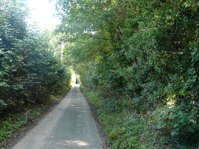
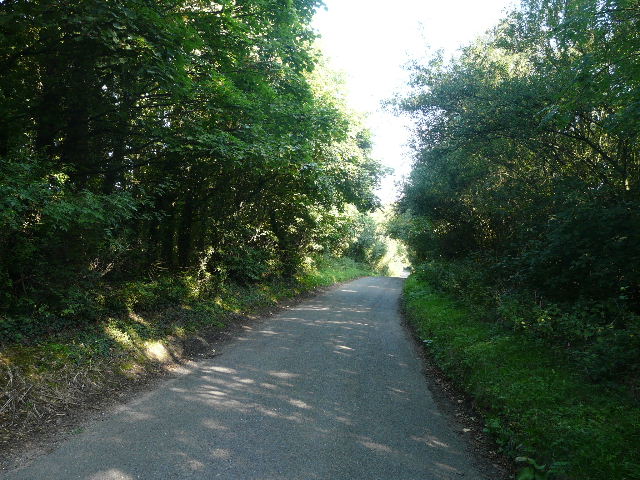
Near the start of Hollicks Lane, Kensworth
I started off at 10pm, and was soon walking down Hollicks Lane. I took the parallel path behind the hedge to the left of the lane (this starts much further on than the OS map shows), descending steeply to the bottom of the valley that runs north of Kensworth, and then climbed up the other side - I should have slowed myself down, I was really puffing and panting when I rejoined the lane near the top of the hill. It was then just a short distance along the lane to the hamlet of Church End, the old part of Kensworth.
The path running on the other side of the hedge to Hollicks Lane. The OS map shows that the gradient of the lane on each side of this valley is between 1 in 5 and 1in 7.
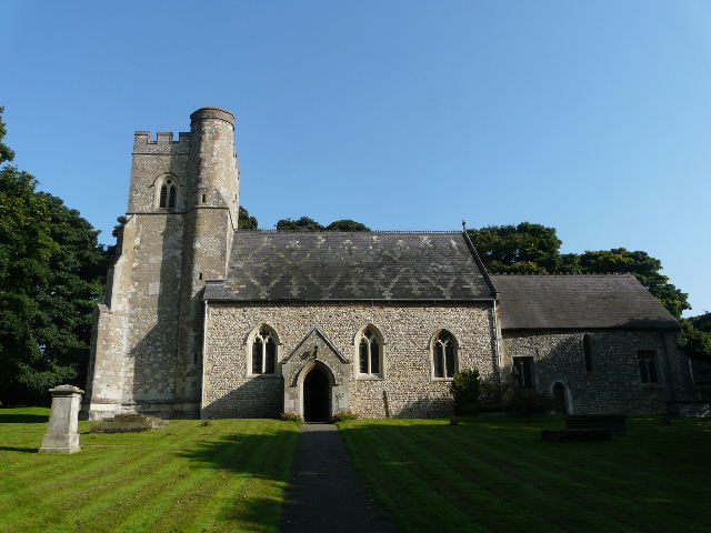
Kensworth church, at Church End
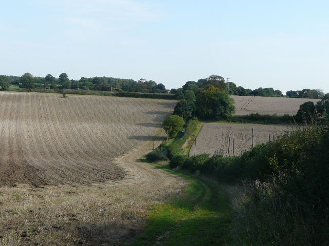
I took the path through the churchyard, which passes to the left of the church, and continued through the hay meadow behind the church. In fact, one corner of the meadow had been planted with Sunflowers. I could have joined the quarry path here, but chose not to as the first section can be very muddy. Instead I continued to the field corner and turned left on to Beech Road (a lane from Church End to the edge of Dunstable).
The path through the meadow behind the church. I sometimes turn left by the tree here to join the path round Kensworth quarry, but as the first section of the path can be very muddy, I usually continue ahead to Beech Road and join the quarry path further on.
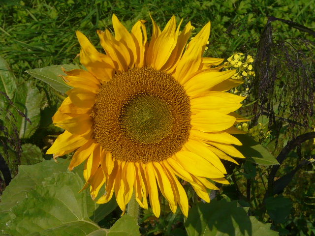
Sunflower, in the meadow behind the church
The lane almost immediately turned sharply right, and descended and re-ascended a small valley. Near the top of the rise I went through a gate on the left to join the path round Kensworth Quarry, which I followed to the right.
Beech Road
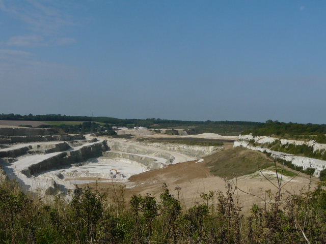
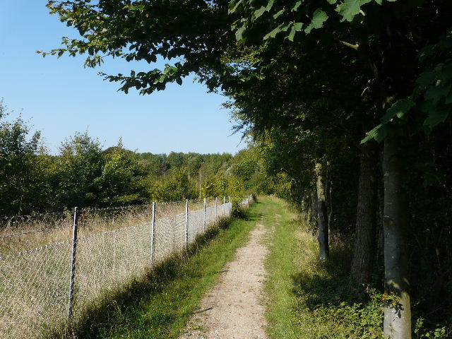
Kensworth Quarry - I believe this is the largest chalk quarry in the country. The chalk is pumped in solution to Rugby through a 56-mile pipeline.
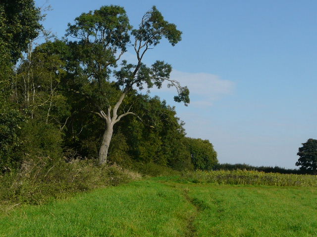
Soon there was an open area of grass on my right, giving me views over Dunstable and Luton. I continued alongside the wire fence of the quarry for about a mile - there were generally bushes beyond the fence, screening the quarry from sight, although I could hear the noise of the diggers and trucks working in the quarry. For much of the way there was a wood on my right. Eventually a short path on the right (starting by a yellow topped post - if I'd missed this junction I'd have reached the drive to the quarry in a few minutes) led through trees to a path junction, where I turned left with Dunstable Downs Golf Club on my right. In about 200 yards I reached the main road across the Downs, and crossed over it to reach the old car park.
The path round Kensworth Quarry
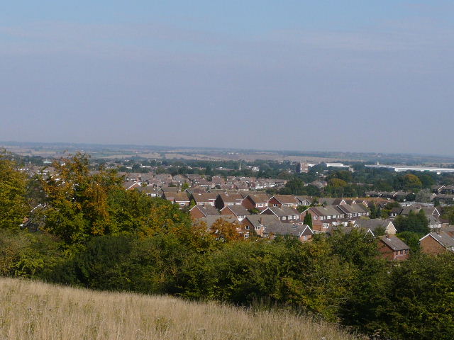
View northwards over Dunstable from the quarry path
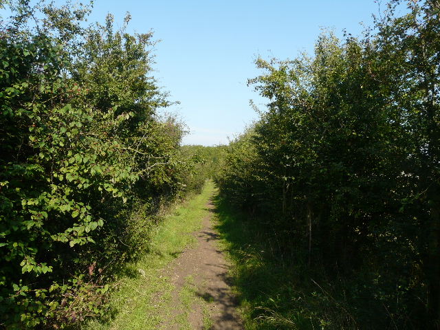
The path round Kensworth quarry
The path round Kensworth quarry
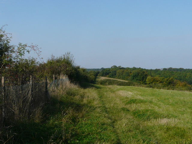
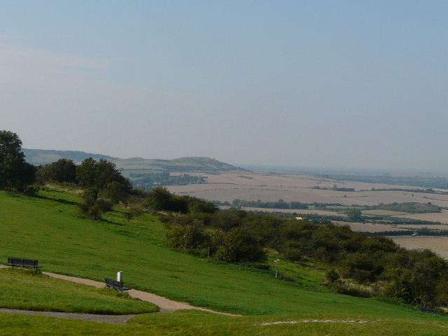
Although the car park was about a third full, Dunstable Downs seemed very quiet considering the fine sunny weather. There were just one or two people walking about or admiring the views, but there were no kite fliers or paragliders. I walked right, along the top of the Downs, generally keeping to the grass rather than following the new gravel track that the National Trust has recently put in.
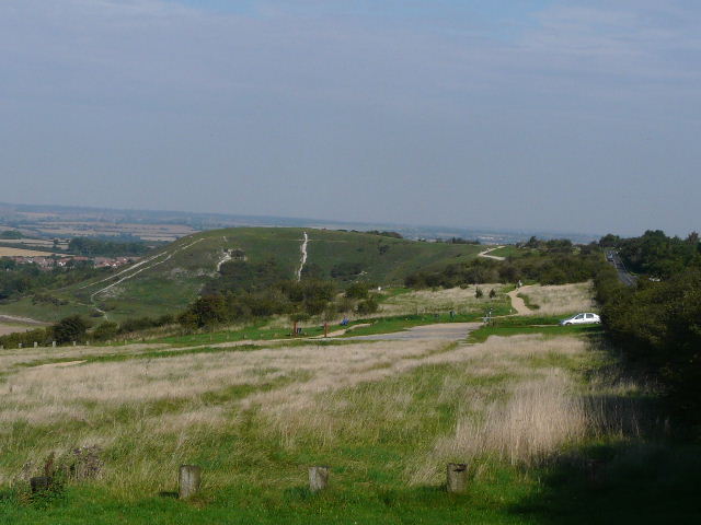
Dunstable Downs, from near the old car park
Ivinghoe Beacon from Dunstable Downs
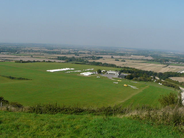
Looking out over the London Gliding Club and the Vale of Aylesbury, from Dunstable Downs
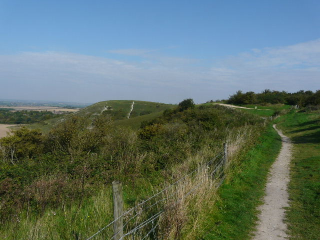
A path along Dunstable Downs
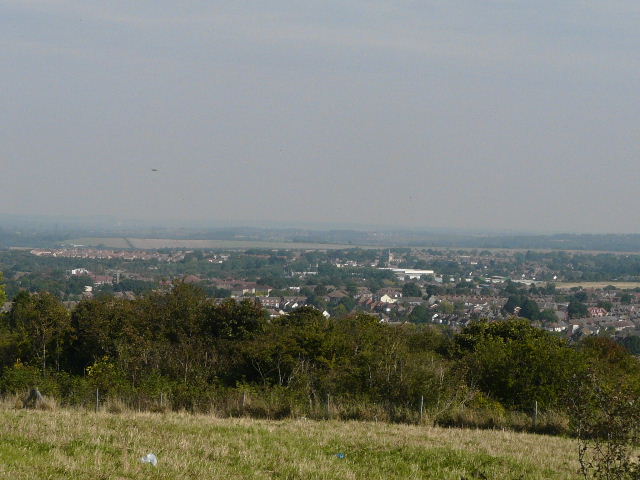
View north over Dunstable from Dunstable Downs