Pete's Walks - Kensworth and everywhere (part 2)
Five Knolls - ancient burial mounds in a prominent position on Dunstable Downs
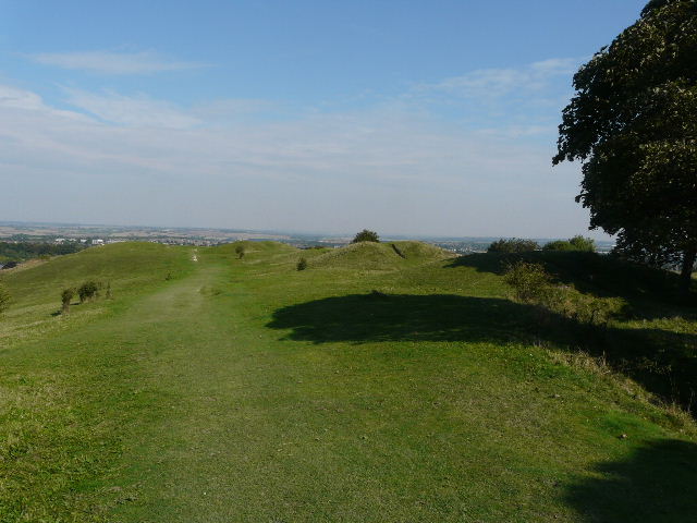
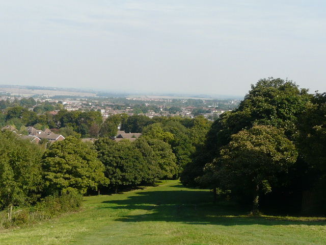
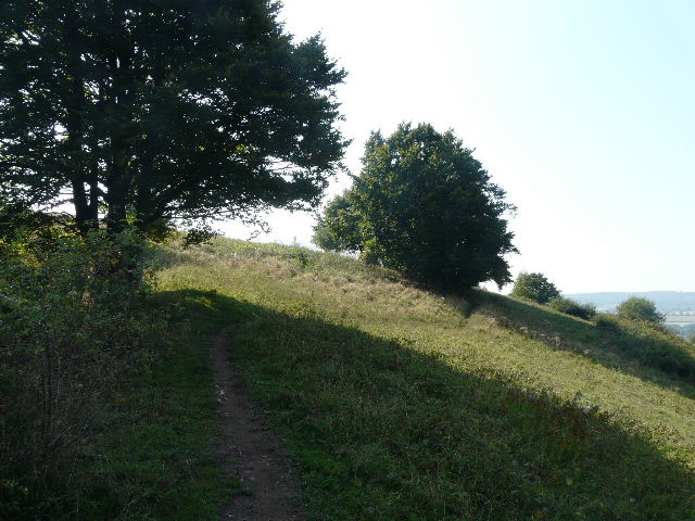
I took several photos - along the Downs, across to Ivinghoe Beacon and out over the Vale of Aylesbury. I continued on until I reached the ancient burial mounds of Five Knolls, and then descended the steep grass strip towards Dunstable.
The grassy descent from Dunstable Downs towards Dunstable. The walk turns sharply left by the end of the longest tree shadow.
At the bottom of the steep part of the slope I turned sharply left, to start the path that runs all long the bottom of the Downs. There were initially garden fences on my left. I must have followed this path for about a mile and a half, all along the foot of the Downs, passing the London Gliding Club on my right. There was usually a wire fence and a hedge on my right, with the steep slopes of the Downs to my left generally covered with scrubby bushes. My attempts to photo this part of the route were not too successful as I was looking into the sun.
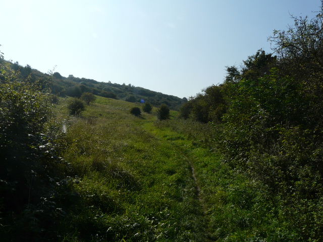
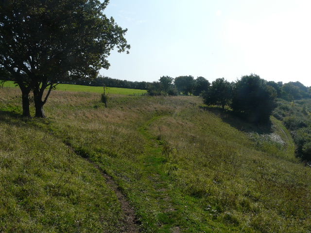
The path along the foot of the Downs
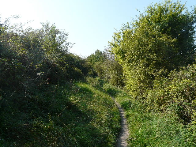
The path along the foot of the Downs

The path along the foot of the Downs
Eventually, when there were paddocks on my right and just past a solitary tree in long grass, I turned left. After a few yards I reached another path junction where I turned right, and joined a path that was soon rising quite steeply up Bison Hill. I went straight on where a sunken lane crossed the path, which then soon flattened out and contoured round the hillside to eventually reach a metal kissing-gate. A few yards further on (with the Bison Hill car park ahead of me) I turned left at a path crossroads, with the Bison Hill car park ahead of me.
The path up Bison Hill as it starts to level off - the hill is so-called because of the Bison in a large paddock on part of its slopes that belong to Whipsnade Zoo. I'd love to know what the hill was called before the Zoo was created in about 1930.
The path at the top of Bison Hill approaching the car park
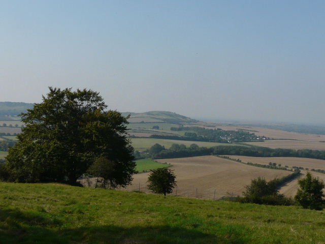
Ivinghoe Beacon from Bison Hill
I now continued on along a bridleway towards Whipsnade, which ran between hedgerows either side. On reaching Whipsnade, I crossed over the road and followed the edge of the green on the other side, curving round in a semi-circle to the left. At the end of the semi-circle was a nice view of more of the huge and irregularly shaped green ahead me, with the houses of Whipsnade dotted along its edges.
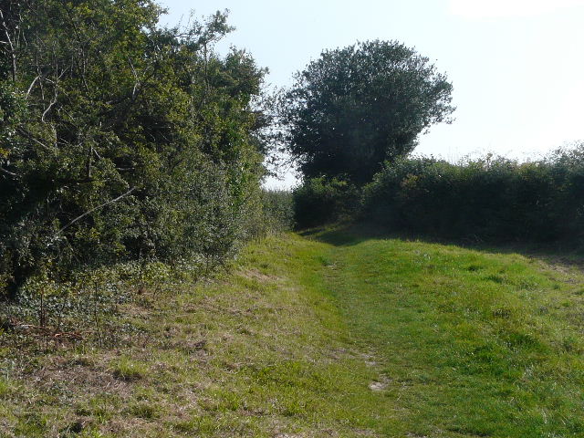
Start of the bridleway from Bison Hill to Whipsnade
Part of the the green at Whipsnade, close to the Zoo (just out of frame to the right)
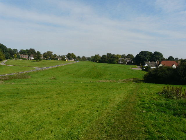
The huge and irregular green at Whipsnade. The road disappearing from view in the centre of the picture goes through Whipsnade Heath to Kensworth (I would join it right at the end of this walk). The old lane to Holywell runs along the bottom of the shallow valley going across the middle of the picture.
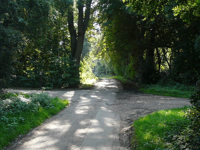
I turned right onto the old lane to Holywell, most of which has been closed to traffic for many years. After half a mile I passed the point where the zoo fence turned right, with a bridleway running along side it. There are a couple of slight alternative routes for this walk that go that way (I've shown them on the map), but I chose today to continue along the old lane - the path beside the zoo features in other of my walks, whereas this way I would photograph a path I rarely use.
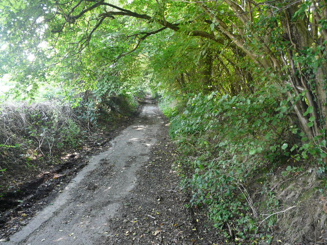
The old lane from Whipsnade to Holywell
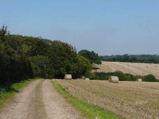
I turned right immediately before the first house in Holywell, following a field path with garden hedges initially on my left. I heard but could not see a Buzzard here. The field was now stubble, the first of many such that I would pass by today. The path turned left at the corner of the hedge, but almost immediately turned right again. I followed the clear path across two small valleys in succession, generally following a hedge on my right and passing more stubble fields, dotted with circular bales of straw.
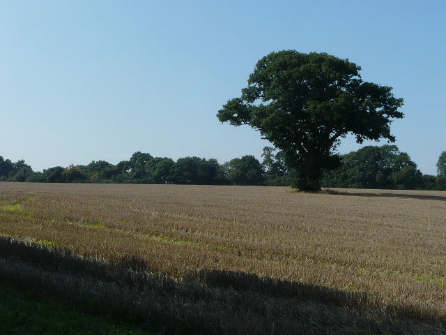
Stubble field at the start of the section from Holywell to Studham Church
Looking back from near Studham Church along the path from Holywell
The path took me to Studham Church. I walked through the churchyard, passing to the right of the church, and continued on along Church Road. Soon I passed a bridleway coming in on my right, where the two alternative routes I mentioned would rejoin the main route.
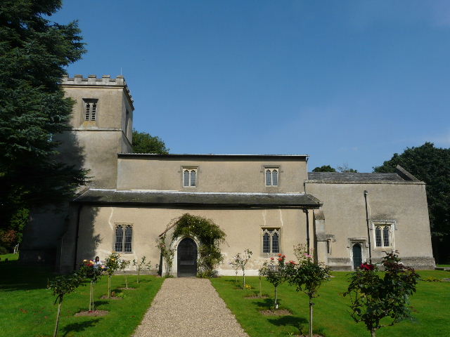
Studham church
Church Road, Studham