Pete's Walks - Lilley to Barton-le-Clay walk (part 1)
If you are considering walking this route yourself, please see my disclaimer. You may also like to see these notes about the maps and GPX files.
Google map of the walkDownload GPX file of the walk
I did this 14.5 mile circular walk on 20th April, 2009. Surprisingly, it was the first time I'd walked in this far north-eastern corner of the Chiltern Hills for over two years. The route had been very easy to piece together on the map, as I simply linked together sections of some of the long-distance paths that pass through this area - the Chiltern Way (both original route and northern extension), the Icknield Way and the John Bunyan Trail. (Note: I have since done this walk in the opposite, anti-clockwise, direction, which I think makes a very good walk even better - see here).
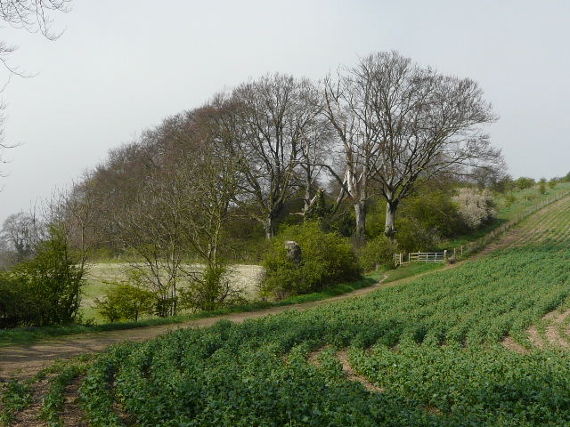
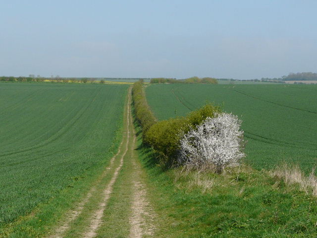
I parked by the village pub and started walking about 9.35am. I headed north-west along Wardswood Lane, vaguely remembering the way from when I walked the John Bunyan Trail. The tarmac surface soon ended, the lane becoming a track between hedges. It was briefly very muddy, but I soon passed some workmen who were putting new drains in, and after that the track had clearly been resurfaced. It was quite foggy, and visibility was very restricted as I made my way along the track, which turned left and then right as it passed Ward's Wood on the right. I spotted some Primroses and my first Yellow Archangel of the year here. On my left I passed the first field of bright yellow rape that I'd seen on my walks this year.
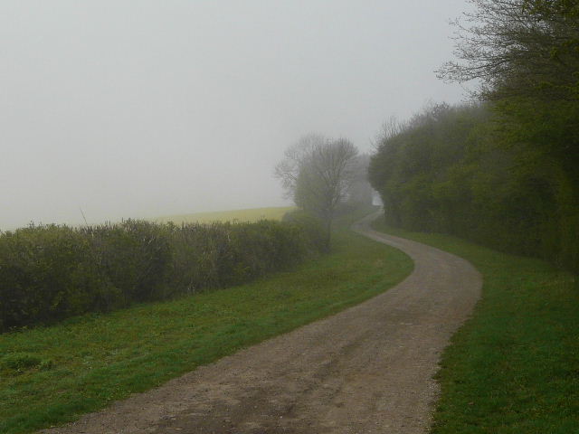
Wardswood lane, Lilley, beside Wards Wood
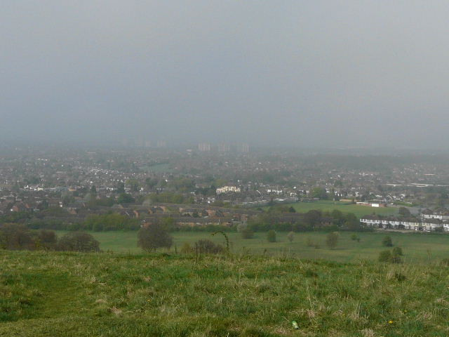
Shortly beyond the wood I came to a track crossroads, where I turned left, leaving the course of the John Bunyan Trail and briefly entering territory that was new to me. The track followed a hedge on the left, between large arable fields, then ran uphill beside a wood on the left. At the top of the hill, I reached another track crossroads - downhill ahead of me I could just see the edge of Luton, the fog hiding most of the conurbation from view.
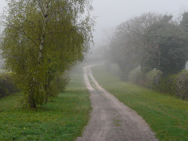
Wardswood lane, Lilley, just beyond Wards Wood
The track towards Luton
The outskirts of Luton are almost visible in the fog at the foot of the hill
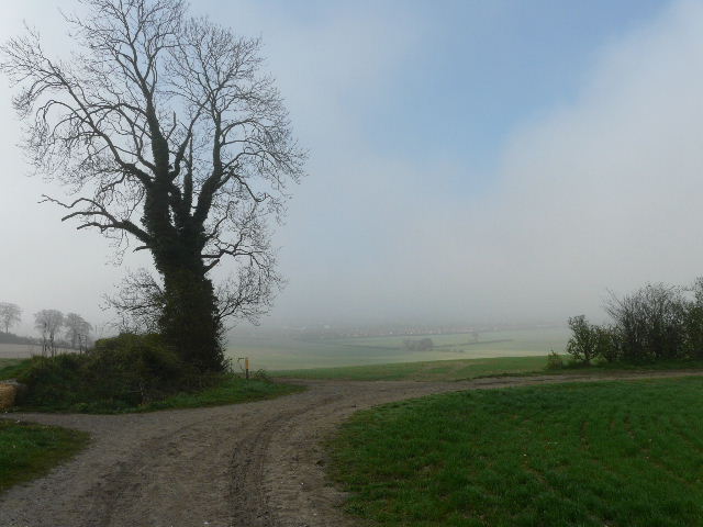
I was back on known ground as I turned right, this track being part of the original route of the Chiltern Way which is omitted by the northern extension. After following a hedge on my left a short distance, I forked left onto a path, heading gently downhill along the edge of a field. Possibly a vandalised scooter in the hedgerow was evidence that I was uncomfortably close to the edge of Luton! On the far side of the field, the Chiltern Way continues through woodland along the bottom of Warden Hill before turning right and going to the top of the hill, but I took a more direct route (new to me), turning right and following a fence steeply uphill to the top.
Approaching Warden Hill, Luton
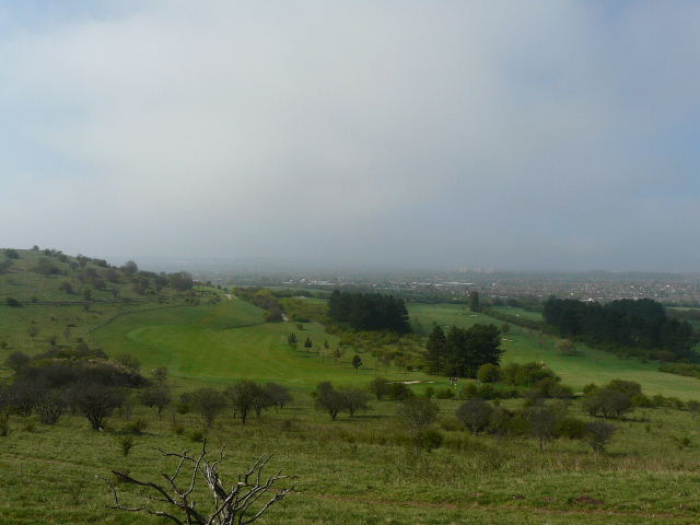
The views from the top of Warden Hill were still restricted, but the fog was clearly dispersing and there were blue patches of sky now visible overhead. I took the 20-yard detour to the Trig point in a cabbage field at the very top of the hill, then continued on northwards towards Galley Hill. I spotted a Yellowhammer on a bush here, but it was a little too early in the year for it to be singing its noticeable song. When I came to a path T-junction, I went right for a short way, before turning left to continue towards Galley Hill. The fog was swiftly vanishing, and soon I had clear views of a golf course below me on the left. From the top of Galley Hill the path descended and crossed a short section of the golf course (it crosses a fairway and then turns left) to reach a major path junction (a post here had six waymarks on one side, four on another). As well as being on the Chiltern Way, this point is where the northern alternative of the Icknield Way (which bypasses Dunstable and Luton) rejoins the main route.
Foggy view of Luton from Warden Hill
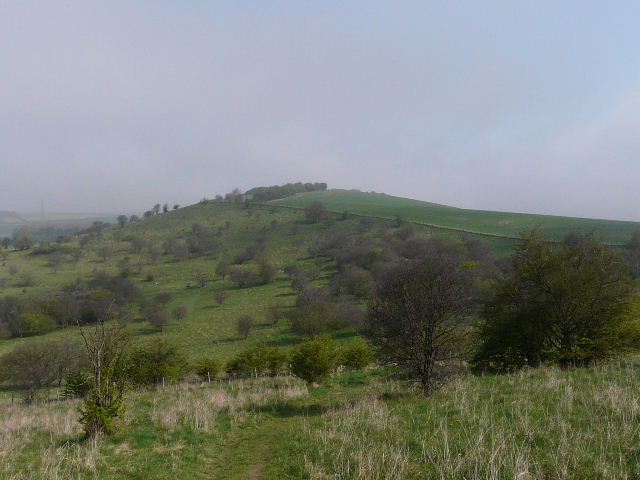
Galley Hill, from Warden Hill
Looking back over Luton, from Galley Hill

The path descending Galley Hill towards the golf course
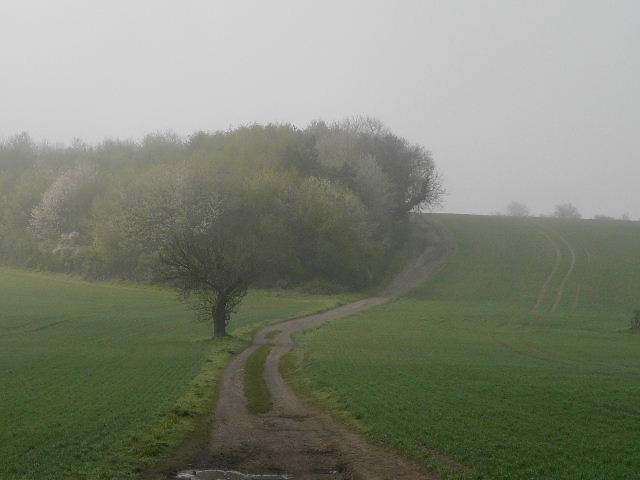
I turned right along the Icknield Way, soon meeting a party of five walkers coming the other way. Within a few hundred yards I reached a path crossroads where I turned left, swapping the Icknield Way for the John Bunyan Trail. The path was a good farm track beside a hedge, running through green arable fields. A hillside descended to my left, towards the A6, with Streatley ahead and to the left on the far side of the valley. I noticed some very fine specimens of Cowslip along the hedgerow. After about half a mile I reached a minor road, where I went a few yards to the left. As I turned right, to follow another hedge-side path, I spotted a Barton-le-Clay boundary post - this had the date 2000 on it, and an image of a Pasque flower (I would later learn that these can be found in the Barton Hills nature reserve, though I didn't spot any today).
The path heading north from the Icknield Way

Boundary marker, Barton-le-Clay
After a few hundred yards I turned right, entering the Barton Hills nature reserve. I passed through some bushes, and then a good view of Barton Hills opened out to my left. A valley extended out in front of me, towards Barton-le-Clay and the flat lands beyond. The left side of the valley was steep and wooded. The right side was steep grassy chalk downland, cut by two or three equally steep short side valleys. The fog had long since cleared, but the views were a bit hazy, as they would remain for the rest of the day.
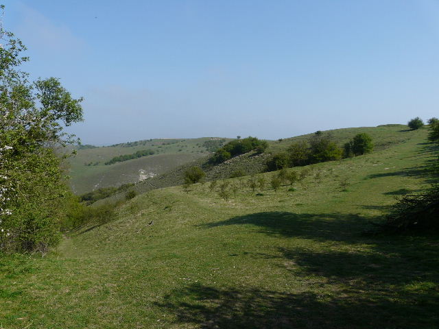
Barton Hills
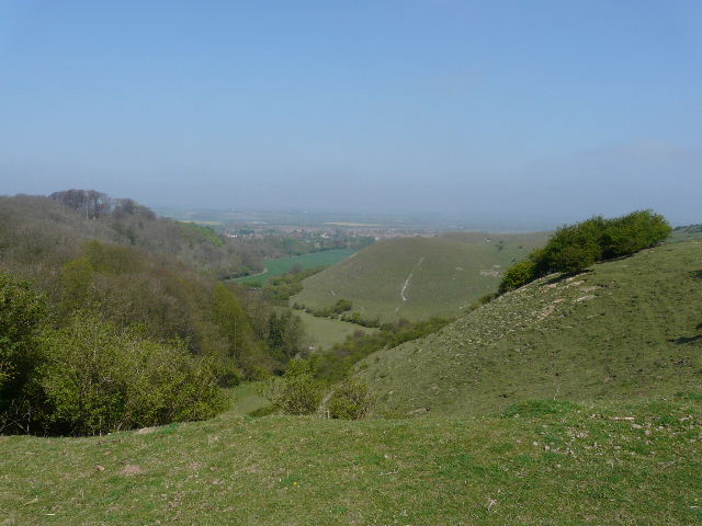
Barton Hills, looking towards Barton-le-Clay
I followed the path ahead, with the head of the valley on my left and a hedge on my right, and soon reached the opposite corner of the reserve, where I turned left, alongside a fence with fields beyond. The path ran along the top of the steep slopes on my left, passing the heads of the short side-valleys. I found a flower I'd not seen before, which I later had identified as Common Storksbill. I also spotted three of the Dartmoor ponies that are kept here to help maintain the environment. The views gradually opened up ahead of me over a flatter part of Bedfordshire and Hertfordshire, while over to my left I could see Sharpenhoe Clappers.

Barton Hills

Dartmoor ponies on Barton Hills