Pete's Walks - The Chiltern Way
If you are considering walking this route yourself, please see my disclaimer. You may also like to see these notes about the maps and GPX files.
Day 6 26/5/05 Lilley to Peter’s Green (7.4 miles each way)
Parked in side street in Lilley (Note: the car park mentioned in the guide book at Lilley Village Hall is for patrons only, according to a sign).
Reasonable walk, considering the proximity to Luton and it’s airport. Another warm and sunny day. Met a large party of ramblers a mile or so from Lilley, but they were not doing the Chiltern Way. I saw a hare very close up - it startled me when it bolted when I was about 5 yards away from it. Pleasant footpaths lead from Lilley past the boundary of the Putteridgebury estate and onto the hamlets of Mangrove Green and Cockernhoe, which were surprisingly pleasant considering they were within ½ mile of Luton. More field paths (with close-up views of Luton Airport) lead on towards Breachwood Green. The last part of the walk was about a mile of lane into Peter’s Green, the longest stretch of road-walking so far, with views of the cattle grazing in Lawrence End park.
Total Distance: 44 miles each way
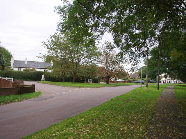
Peter's Green - the northern extension rejoins the original route at this road junction 22/10/05
(N.B. There was a slight interlude at this point, when I went on holiday and walked the Cumbria Way - you can read about it in my journal on this web site. While on holiday, I met a gentleman who was a member of the Chiltern Society and had been involved in the creation of the Chiltern Way! He asked me to let him know if I came across any vandalised or missing Chiltern Way signposts.)