Pete's Walks - Old Amersham and Beaconsfield (page 1 of 3)
If you are considering walking this route yourself, please see my disclaimer. You may also like to see these notes about the maps and GPX files.
Google map of the walkDownload GPX file of the walk
I did this 15 mile circular walk on Saturday, 13th March 2010.
My old copies of the three OS Explorer maps that cover the Chiltern Hills are not only very tattered and torn through several years of hard use, they are also defaced by various shades of highlighter pen marking the walks I have done - blue for the Chiltern Chain Walk, yellow for other long-distance paths, green for other walks (this last category being in need of a long-overdue update!). So it is quite easy for me to spot areas on the map where I have not walked before, and this walk was intended to fill in one such gap - an area to the north-west of Beaconsfield, running between the villages of Seer Green and Winchmore Hill. I managed to devise a circular route starting and finishing on familiar paths around Old Amersham, but with about half the route new to me (including a different path through Penn Wood and a bridleway from Holmer Green to Little Missenden).
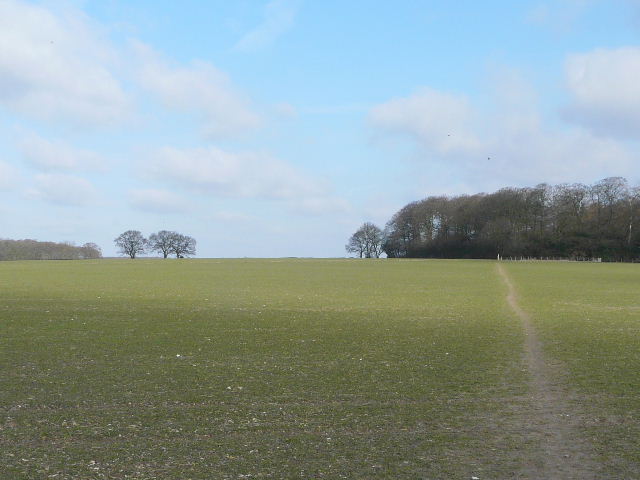
I started out from the car park (£3.20 for the day) in Old Amersham about 9.40am, turning left for a short distance along the High Street and then taking a path on the right just after a roundabout (the footpath sign is hidden when approached from this direction) - for the next 2-300 yards I'd be on part of the South Bucks Way. This path went along a drive and across a meadow before going under a bridge under the A413. A few yards further on I forked half-right on a path slanting gently uphill through two large fields towards Rodger's Wood. The path went through a corner of the wood, then levelled out as it crossed part of a huge field, with the attractive Misbourne valley down to my left.
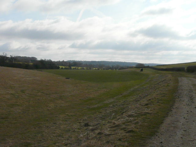
The Misbourne valley, just southeast of Old Amersham - this is just before I took the path going half-right across the hillside to Rodger's Wood
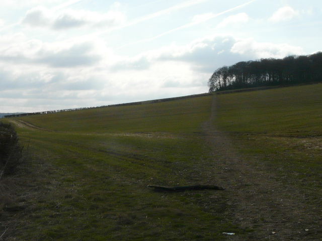
The path to Rodger's Wood
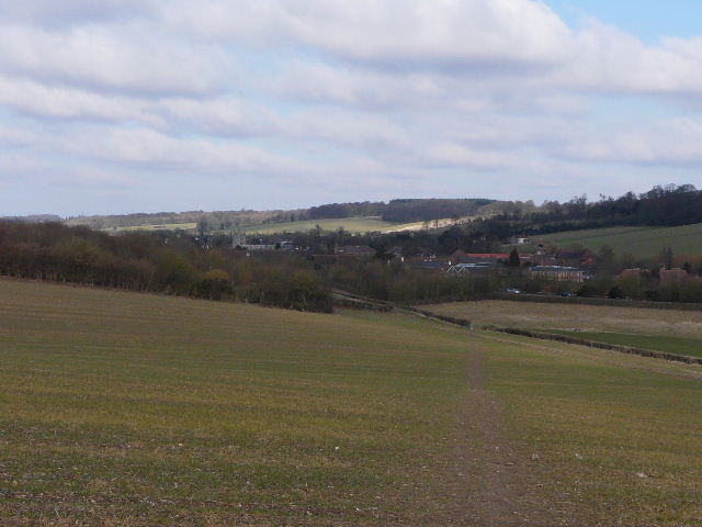
Looking back to Old Amersham
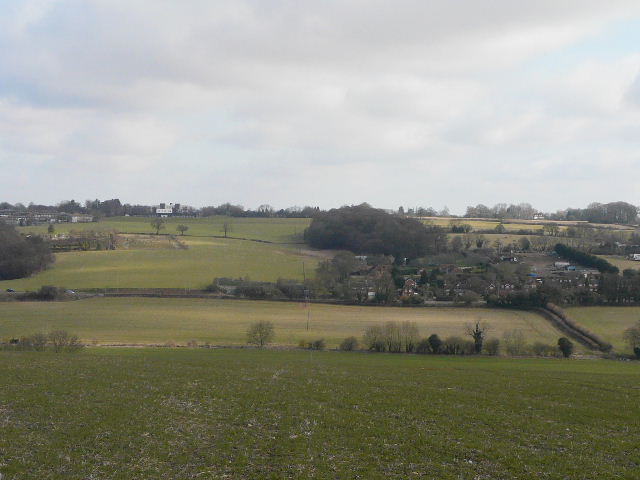
View left across the Misbourne Valley, with Amersham to the left
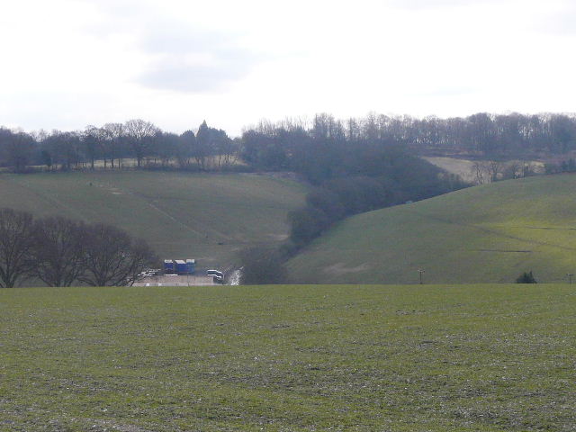
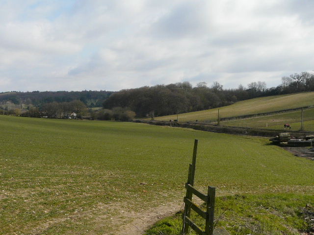
The path then ran beside a hedgerow (on my right) and then alongside Day's Wood (on my left), before going half-right across a ploughed field. Through a hedgerow, I went a few yards right then turned left and dropped downhill to Upper Bottom House Farm. Across a lane, I then followed a farm track gradually uphill for about half a mile, now heading slightly west of south, to pass another (unnamed) farm and reach a path junction where I crossed the route of the Chiltern Way. Across another small field and then over Botterells Lane I entered the large expanse of Hodgemoor Woods.
Looking back towards Day's Wood, with Rodger's Wood to the left
View over Upper Bottom House Farm - I would soon be walking to the left of the hedgerow in the centre of the photo
View northeast from Upper Bottom House Farm, towards the Misbourne valley
The path to Hodgemoor Woods
I was now briefly on the route of the Chiltern Heritage Trail as I followed the path close to the edge of the woods (with fields nearby on my left). After about half a mile, I emerged from the woods, and passed a stables complex, then turned right alongside the far side of a paddock and soon entered the woods again (here leaving the Chiltern Heritage Trail and entering what was, for me, unexplored territory). I was again close to the edge of Hodgemoor Woods, now on the southern side. After almost half a mile I turned left at a path junction and finally left the woods at a corner where I joined Bottom Lane and followed it southwards (straight on). I was now close to the village of Seer Green.
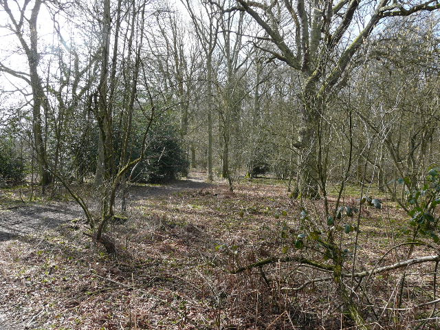
Path through Hodgemoor Woods
Path through Hodgemoor Woods
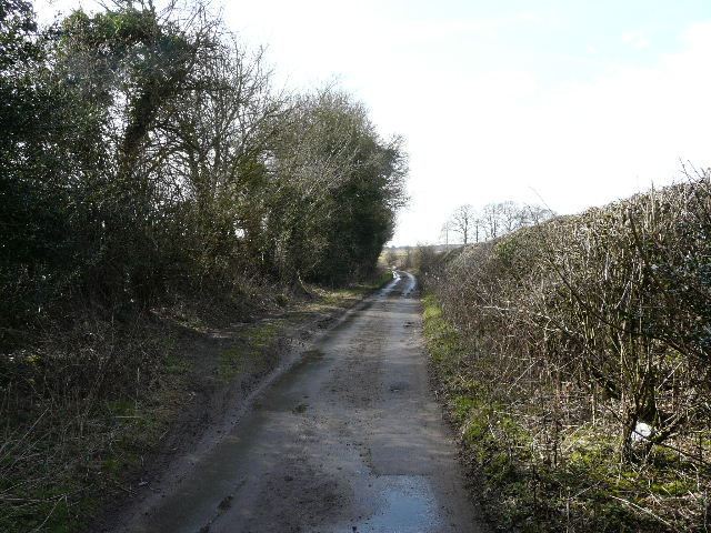
Bottom Lane
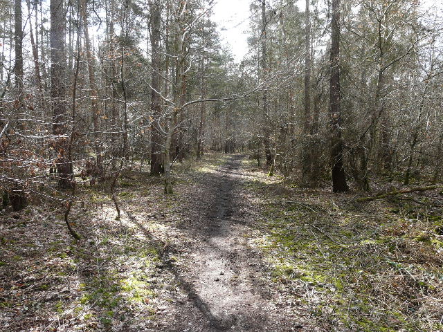
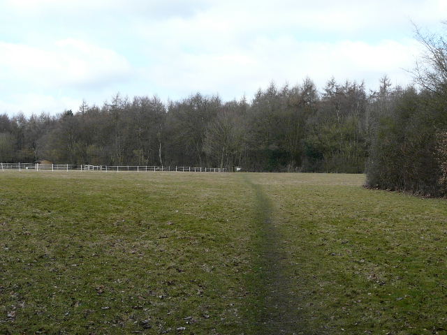
After maybe quarter of a mile, I turned right on to a bridleway running between hedgerows (it was nice to see three walkers of Asian origin coming the other way, ethnic minorities are hopelessly under represented amongst walkers for some reason). The bridleway descended into a valley where it entered a wood. At a crossroads of rights of way I turned left onto another bridleway, following the valley floor through Bottom Wood and then on to Blue Close Wood. At another path crossroads I turned right, heading gently uphill through the trees and then across an empty paddock to reach another wood (it seems to be called Birchen Spring on the map). The path here was between wire fences, with several warning signs about the woods (mainly silver birch and conifers) being private.
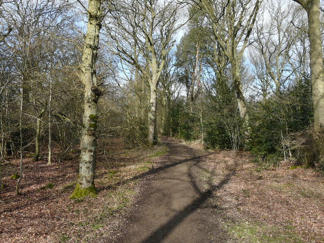
The bridleway from Bottom Lane to Starveacre Wood
Path through Bottom Wood
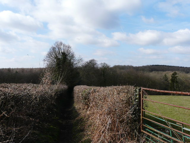
Path between Blue Close Wood and Birchen Spring (that's what it seems to be called on the map , anyway)
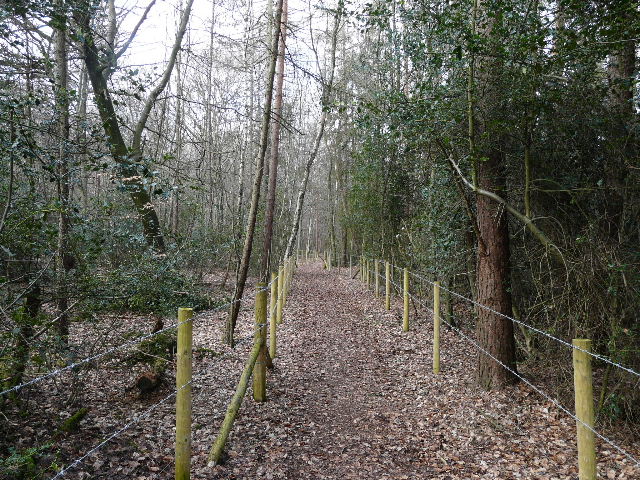
Path through Birchen Spring