Pete's Walks - Watlington Hill, Swyncombe, Russell's Water (page 3 of 4)
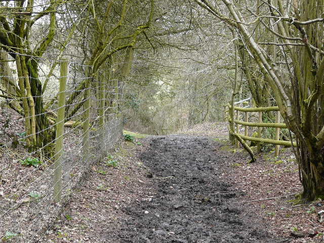
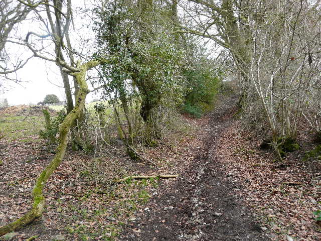
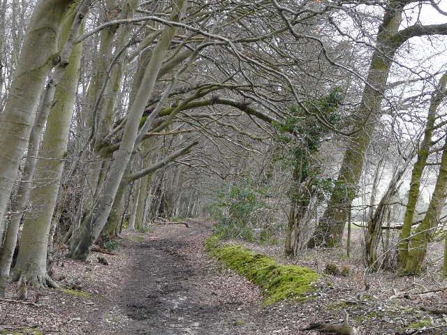
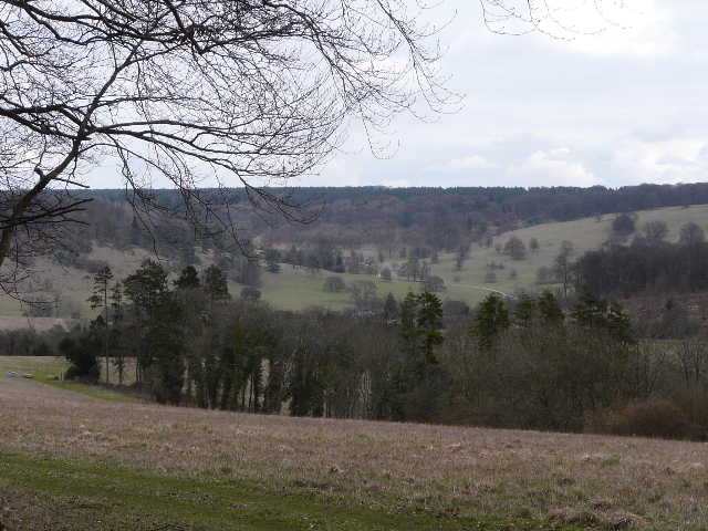
At the end of the drive from Ewelme Park I turned right on to a lane, crossed the road that passes through Park Corner and continued down a lane on the other side. Where this soon turned right, I continued ahead on a bridleway - I was briefly on the route of the Chiltern Way again, but that soon took a path going right. The bridleway (again, one new to me from this point) ran between the wire fences of some paddocks or pastures and entered Priors Wood. Here it was particularly muddy, as it descended slowly through the trees. It then continued uphill to reach Redpits Manor, with a splendid view south-eastwards over woods and valleys.
The bridleway leaving Park Corner
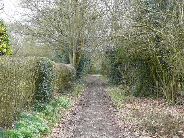
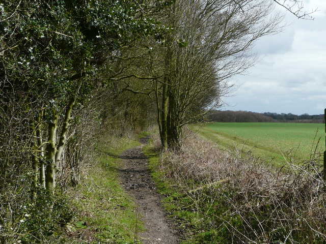
The bridleway from Park Corner, approaching Priors Wood
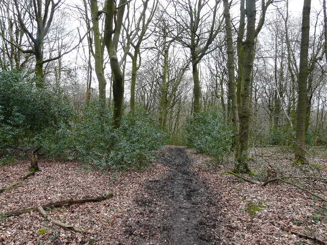
Bridleway through Priors Wood
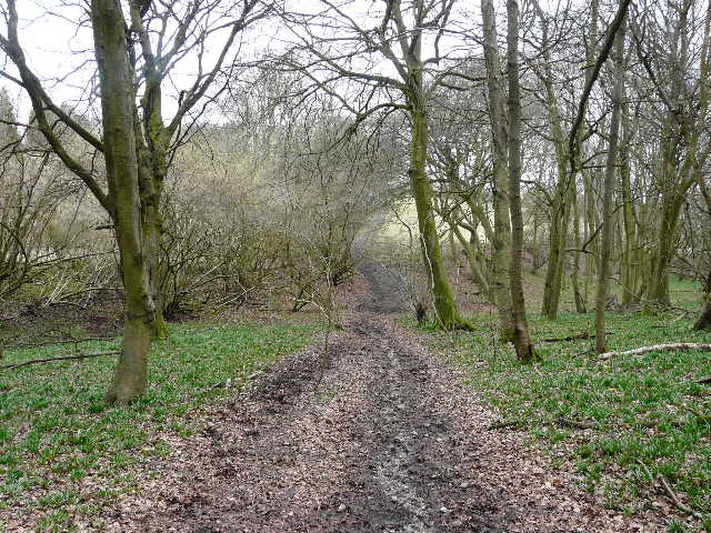
The bridleway shortly before it leaves Priors Wood

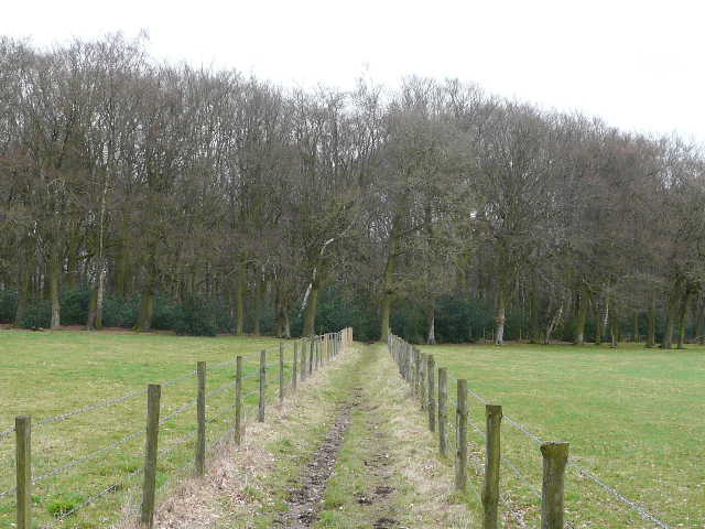
The bridleway from Park Corner approaching Redpits Manor
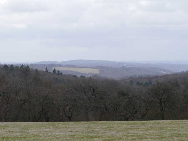
Close-up of the view from Redpits Manor
From Redpits Manor the bridleway descended into the valley of Upper Bix Bottom (at least I think that's what this valley is called), where I turned left for a short distance. At the next bridleway junction I turned right, once more joining the Chiltern Way as it made it's way uphill to the village of Russell's Water, where I turned left along the village lane. I'd been looking forward to having lunch by the pond that gives the village its name, but as I reached it I was dismayed to see two walkers sitting on the only bench, on the far side of the pond. Fortunately for me, by the time I'd walked round the pond they were just setting off again, so I had a nice relaxing lunch stop here as planned. It was now about 1.10pm.
The bridleway continuing from Redpits Manor
The bridleway to Russell's Water

View northwest from the bridleway to Russell's Water
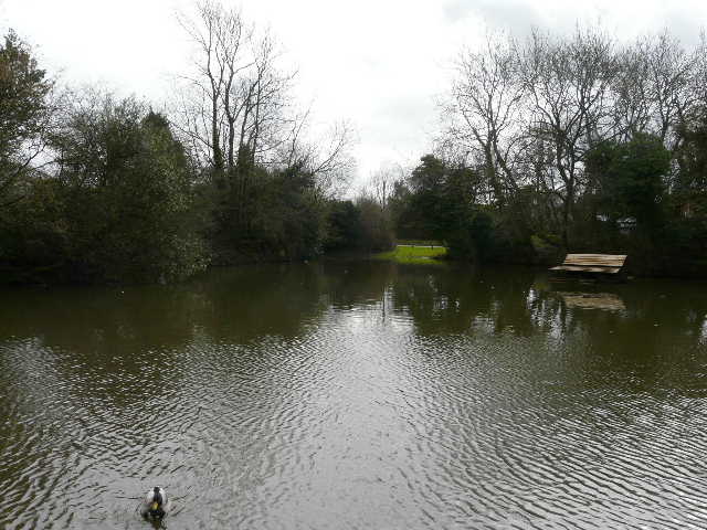
The pond that gives Russell's Water its name
Lunch over, I followed the Chiltern Way a few yards further along a drive or track to reach Russell's Water Common then branched off once more onto another bridleway that was new to me. Initially there was no clear sign of its route over the large expanse of the grassy common, but I followed the way shown on the map, going straight ahead and then curving right and heading towards a farm yard. The way was clearly marked through the farmyard, and beyond it the bridleway ran very pleasantly along the edge of a wood, with fields to my left. After a while I had a good view to the deer park around Stonor House, through which I'd walked about three weeks ago. Of all the new paths I walked today, I think this one was the most pleasant (possibly because it was the least muddy!) and the one I'm most likely to use again.
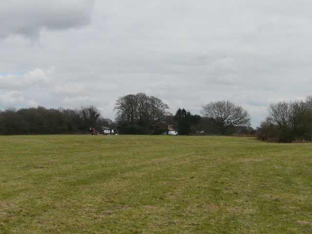
Part of Russell's Water Common - my route passed just left of the red tractor and through the farmyard beyond
The bridleway from Russell's Water Common to Pishill
The bridleway from Russell's Water Common to Pishill
View towards Stonor Park (around Stonor House) from the bridleway from Russell's Water Common to Pishill

The bridleway approaching Pishill