Pete's Walks - Watlington Hill, Cadmore End, Turville (page 3 of 5)
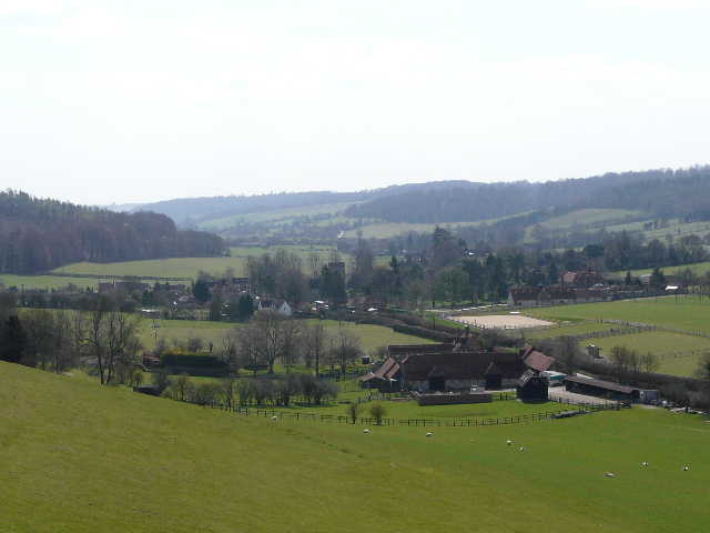
The forestry track took me out of Leygrove's Wood, and across a small gap before entering Pound Wood (where I spotted some Coltsfoot). A path on the left cut off a small loop in the forestry track, before rejoining it and following it under the M40 to reach Marlow Road again in Cadmore End. I stopped to eat my sarnies (cheese and piccalilli today!) on the small village green a few yards right and across the road. I then followed the lane on the other side of the green, soon passing the village church on my left, and then took a bridleway on the right, along a farm track that led to Hanger Wood. As usual, I left the bridleway (which continued alongside the wood) and took the footpath forking right, into the wood.
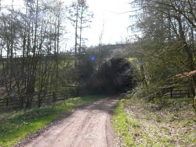
The M40 bridge between Leygrove's Wood and Cadmore End
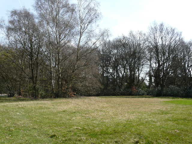
The green in Cadmore End (my lunch stop)
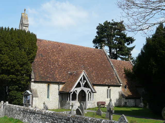
Cadmore End church
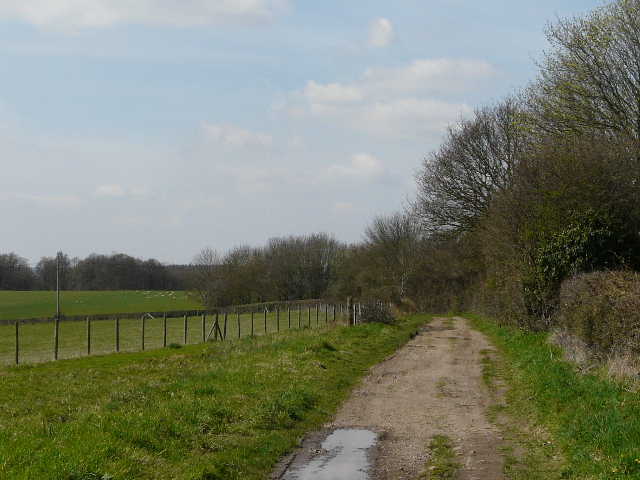
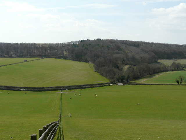
Near the start of the bridlway from Cadmore End to Hanger Wood
View south, with Hanger Wood to the right
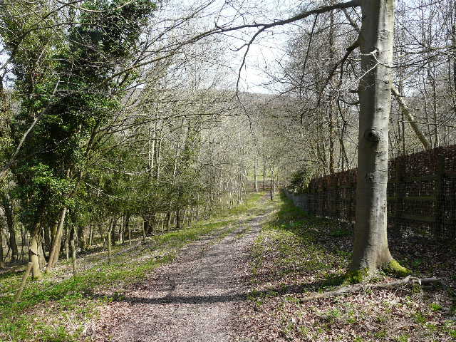
Path junction at the entrance to Hanger Wood - I left the bridleway and took the footpath forking right.
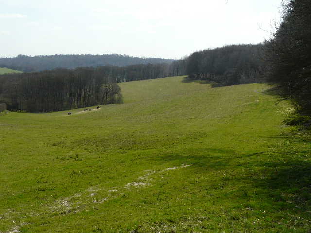
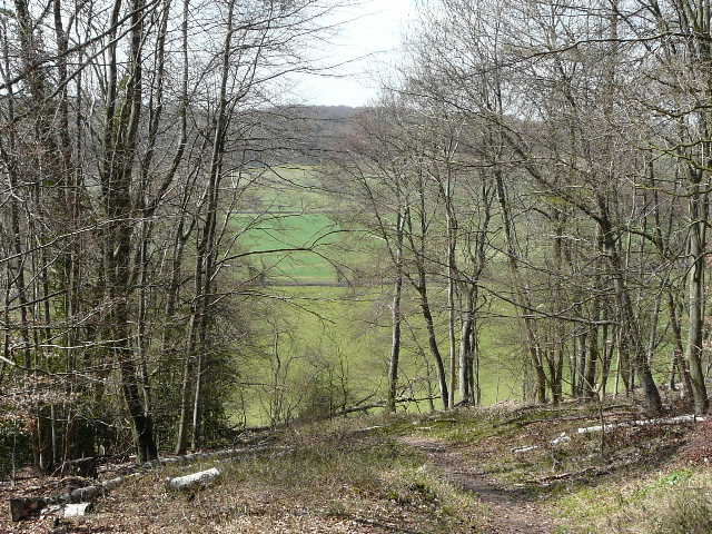
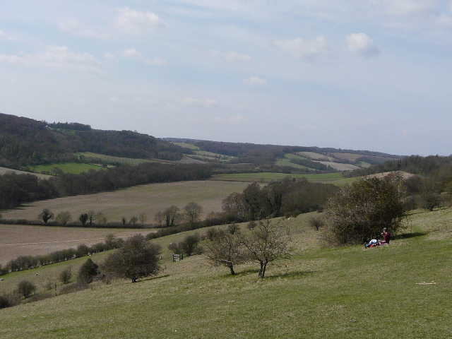
At a path junction in the middle of the large wood I forked right, taking yet another path that was new to me. It soon crossed over a track, then joined the track further on. This was soon descending quite steeply, and continued to do so after I left the wood and entered a large sheep pasture. There were nice views here, left over Fingest to the Hambleden valley, and right, along the valley (which is the one I'd crossed earlier, marked Twigside Bottom on the map).
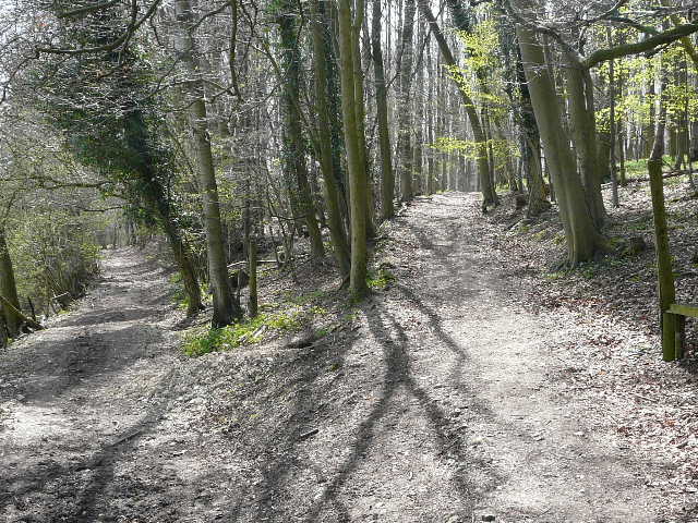
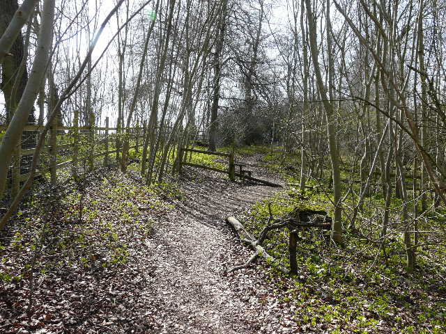
The path through Hanger Wood, starting to descend
The path descending through Hanger Wood
From the edge of Hanger Wood, looking left (south) over Fingest towards the Hambleden valley
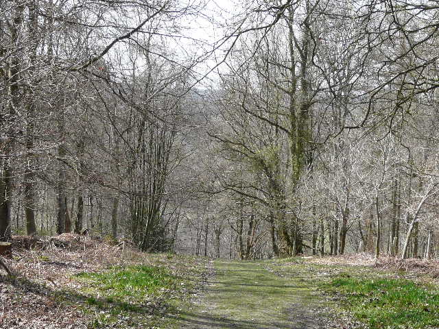
Looking ahead from just beyond Hanger Wood - my route turns right along the lane then rises through the trees to reach Cobstone Mill (hidden by the trees on the skyline)
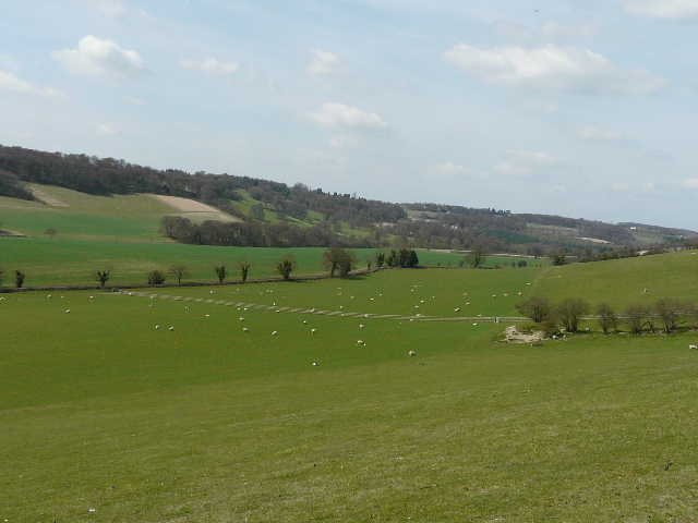
Looking right (north) - this valley is (or becomes) Twigside Bottom, which I crossed earlier
As I followed a fence down into the valley, I spotted what I thought was a small butterfly but which I later identified as an Orange Underwing moth. In the valley bottom I turned right onto a lane for a short distance, then turned left onto a bridleway and shortly afterwards forked left onto a footpath. This led uphill through another wood (Gilham Copse is the nearest name I can see on the map) to reach a lane opposite Cobstone Mill. I crossed over and took a footpath on the top of Turville Hill, where people were picnicking and admiring the views.
Near the start of the path to Cobstone Mill
Looking back along the path to Cobstone Mill
Looking north from Turville Hill, near Cobstone Mill