Pete's Walks - Coombe Hill and Great Missenden (page 1 of 3)
If you are considering walking this route yourself, please see my disclaimer. You may also like to see these notes about the maps and GPX files.
Google map of the walkDownload GPX file of the walk
I did this roughly 12-mile walk on Saturday, 16th October 2010. It was a repeat of a walk I did last December, but in the opposite (anti-clockwise) direction. Starting at Coombe Hill, the route goes south down one side of a valley to Great Missenden, then returns along the far (eastern) side of the valley through The Lee to Wendover and back to Coombe Hill.
I started walking about 9.50am, taking a broad muddy avenue starting from the end of the Coombe Hill car park (grid reference SP 852063). After a couple of hundred yards I took a footpath on the right, soon keeping left at a fork and then joining a bridleway that initially ran to the right of the remains of an old iron fence. I followed the bridleway southwards through the trees for about a mile, until it eventually led me to the attractive and isolated hamlet of Dunsmore.
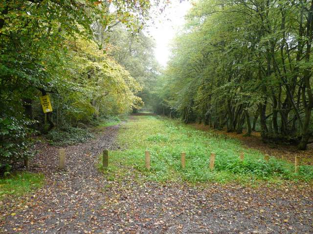
The start of the walk, leaving the Coombe Hill car park
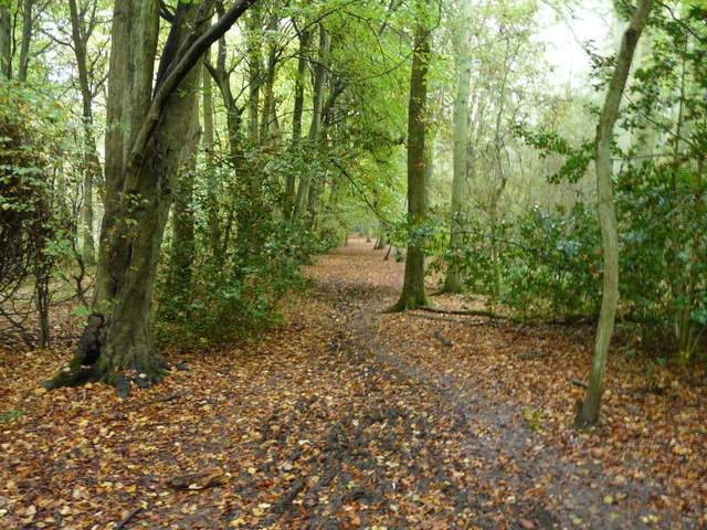
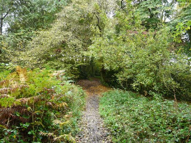
Near the start of the bridleway to Dunsmore
The bridleway to Dunsmore
Entering Dunsmore
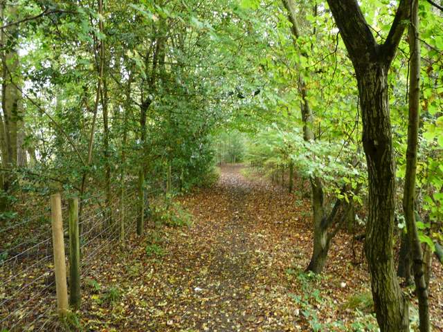
I just kept straight on through Dunsmore, crossing a lane in the centre where a duck pond was to my right and a small chapel on the left. On the far side of Dunsmore the bridleway continued southwards, initially as a track between hedges and then back into the woods. I was still heading south, following a long broad ridge with a large valley to my left (the continuation of what becomes the Misbourne valley). About a mile from Dunsmore I reached the equally attractive and isolated hamlet of Cobblershill.
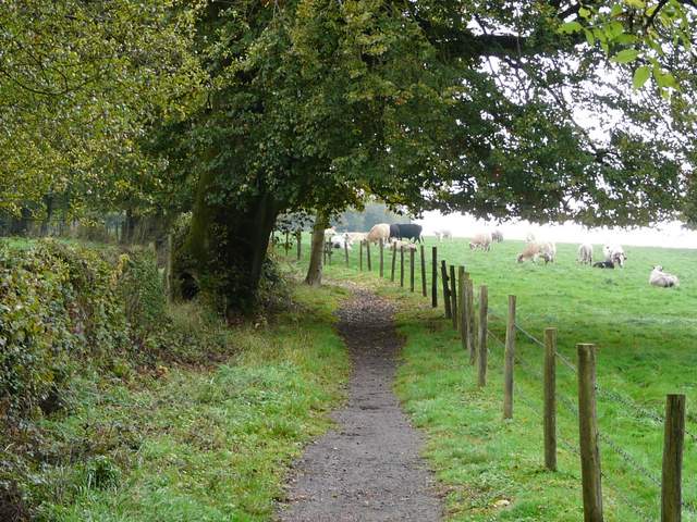
The bridleway between Dunsmore and Cobblershill
Approaching Cobblershill
On reaching a lane in Cobblershill I went a few yards left then took a bridleway on the other side, to continue south between hedges and fences, now affording me better views over the surrounding countryside (especially across the valley to my left, towards where I would be walking later on the route). I went right when the bridleway forked, and after passing two more fields I reached Coneybank Wood. I turned right to take a path that ran through part of the wood, then entered a huge meadow and followed the edge of the wood. The path then went downhill into the valley, with attractive views ahead over the are around Great Missenden. The path crossed a couple of fields and passed under a railway line. I then went past a dried-up pond (on my right), apparently he source of the Misbourne. Across a road I took a path starting at the Black Horse pub (where Hot-air balloons take off), going through the field next to the pub car park. It continued through a large and empty pasture (where it headed slightly left, towards a distant corner), then through a small enclosure and a small muddy paddock to reach a road on the edge of Great Missenden.
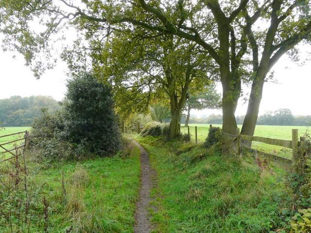
The bridleway between Cobblershill and Coneybank Wood
The bridleway between Cobblershill and Coneybank Wood, just after a right fork
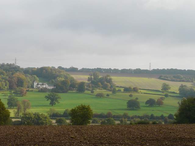
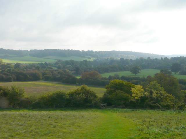
Looking across the valley - I would be returning along the top of the opposite side
Looking back and across the valley
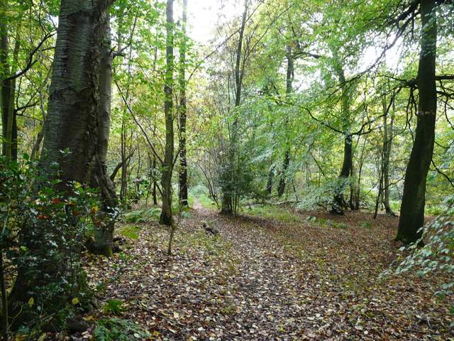
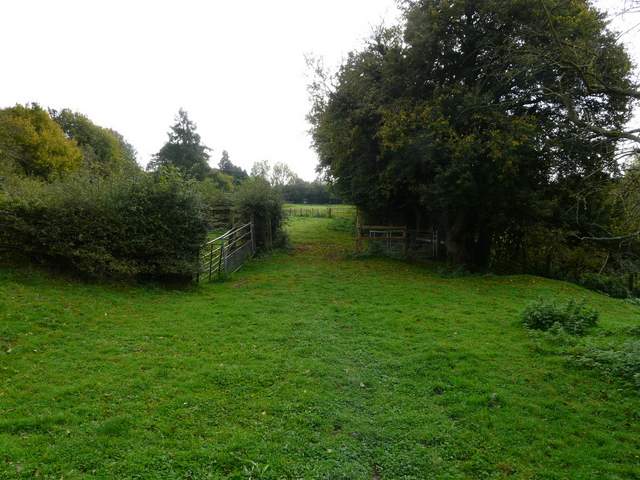
Path in Coneybank Wood
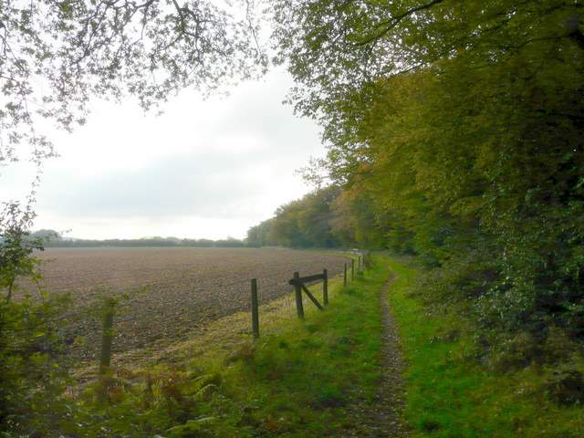
Path beside Coneybank Wood
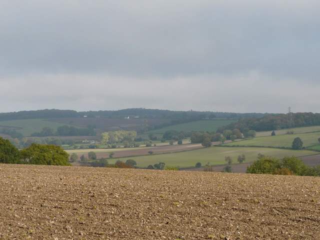
View towards Great Missenden from just beyond Coneybank Wood
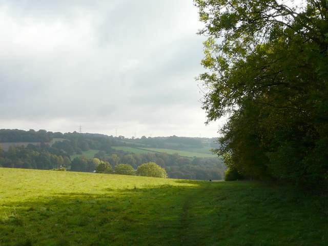
Towards the end o the large pasture on the edge of Great Missenden (the road is behind the far hedgerow seen in the centre of the photo)