Pete's Walks - Coombe Hill and Great Missenden (page 2 of 3)
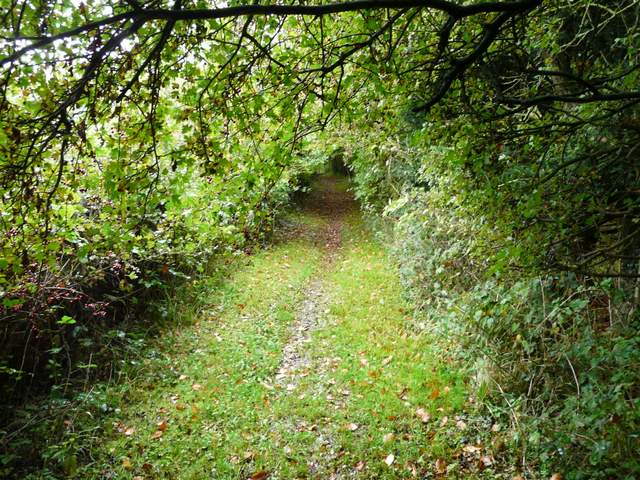
I turned right, away from Great Missenden, and carefully crossed the main road (immediately to the left of a roundabout)that runs through the Valley (from Wendover south to Amersham) - as I was waiting to cross, I saw a Red Kite a short distance away, directly above the road. A footpath climbed steadily up the side of the valley, first beside a hedge on my right, then beside a wood on my left. There were nice views looking back across the valley, towards the area around Great Hampden. At the top of the hill I walked beside a ploughed field and then the path turned left to pass through a small wood, beyond which it crossed a meadow to reach a quiet lane. Across the lane a path then continued through another meadow (another path forked right somewhere in the meadow according to the OS map, but I don't remember seeing any signs for it), and then turned slightly right after going through a hedge gap. It followed the hedgerow (the OS map shows it cutting across the field initially to a slightly projecting corner) until it reached the far corner of the field after about a quarter of a mile. I then turned left at a path T-junction, then turned left onto another path after two or three hundred yards. This path turned left in a field corner, then went right over a stile and a little further on reached the edge of a sports field in Ballinger Common.
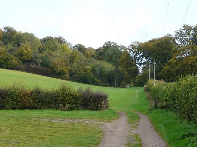
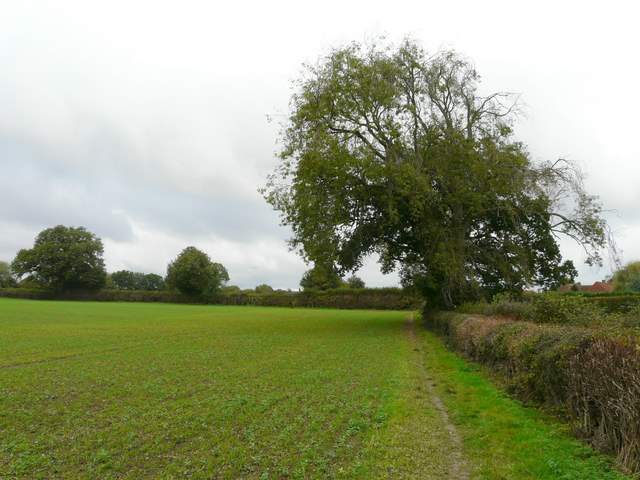
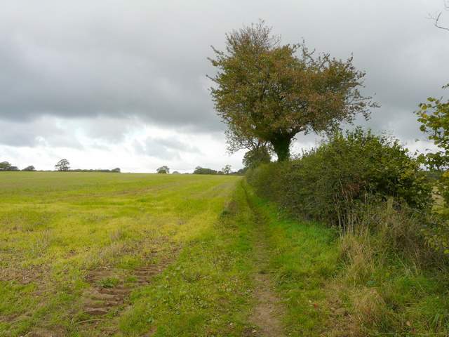
The path from Great Missenden, starting up the other side of the valley
The path up the other side of the valley
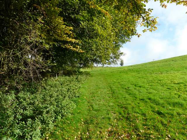
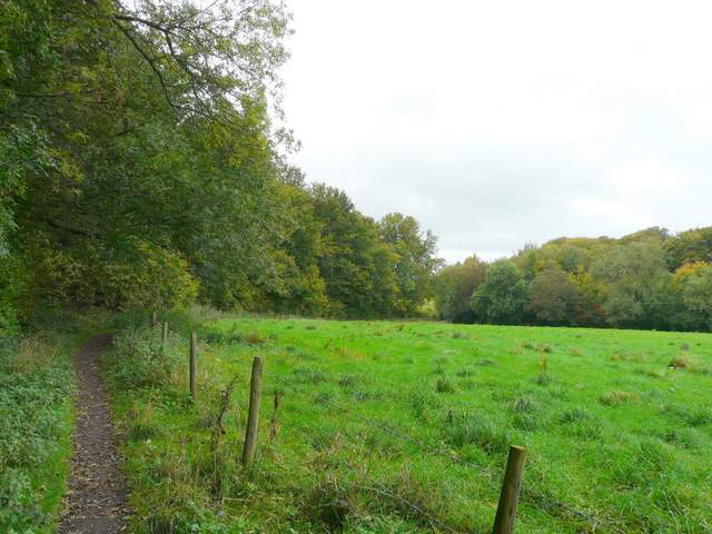
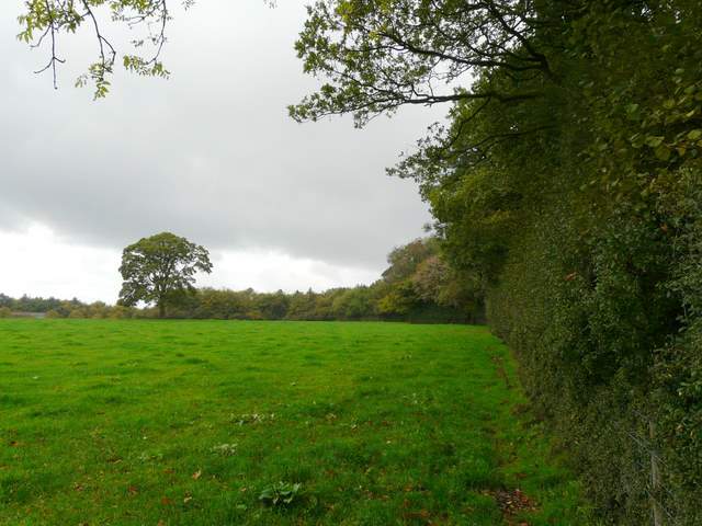
The path near the top of the hill, on the way to Ballinger Common - the path next turns left through the wood
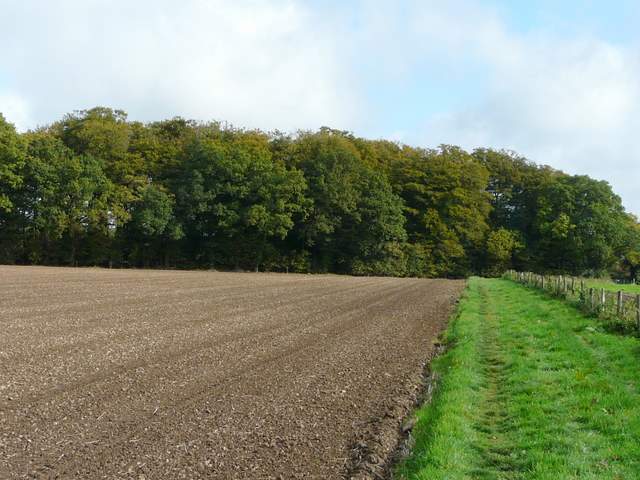
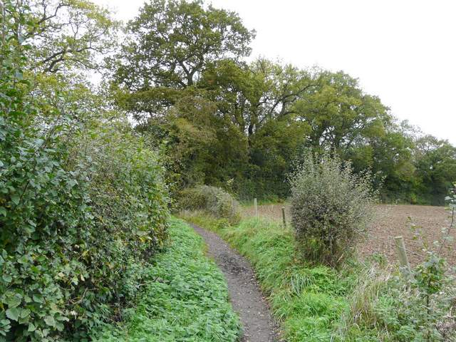
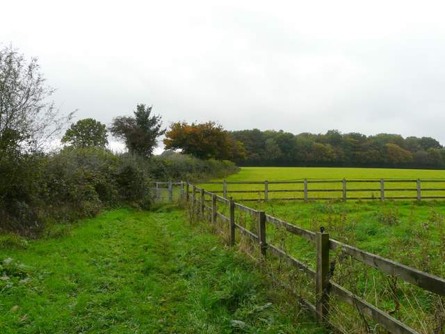
The path to Ballinger Common, approaching the lane
The path to Ballinger Common (this is towards the end of the quarter mile stretch beside the hedge on the right, the path where I turned left is the other side of the crossing hedgerow)
I turned left and then right to go round two sides of the sports field (passing a youngster's soccer match, just in time to see a well-taken goal!) and then turned left along a street, soon passing a tiny church on my right. From the end of the street a bridleway soon led back out into open country again. After almost half a mile the bridleway turned right where a path came in on the left, then turned right and soon joined a roughly-surfaced drive which after a few hundred yards brought me to the rather curiously named village of The Lee (the residents here are regularly bumped off in Midsomer Murders). I turned right then left, by the pub, to pass the village green on my right. When I'd started at Coombe Hill I'd seen some yellow-jacketed stewards, and then passed some more at Dunsmore, obviously officiating in some organised walk or race. As I reached The Lee I met a number of walkers coming the other way, and found loads more on the green or at the pub in the village. It was obviously an organised walk as they were wearing numbers. I passed some more stewards at the end of the green who asked an approaching walker if she had her number pinned to her back - I was sorely tempted to say "I am not a number, I am a free man!" as I went by them (remember The Prisoner? Now that WAS a good TV show - and I'm not talking about the recent re-make). Sorry, I'm digressing, now where was I? Ah yes, The Lee ...
The path from Ballinger Common to The Lee
The path from Ballinger Common to The Lee
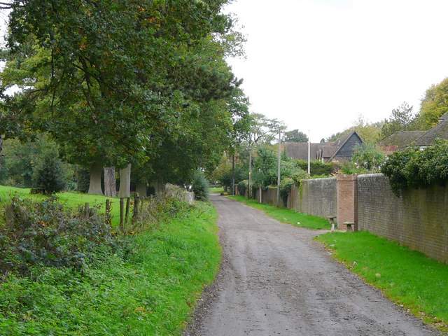
Entering The Lee
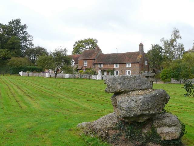
Puddingstone on the green at The Lee
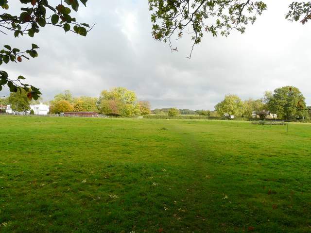
Just after passing the end of the green I turned left through the churchyard, passing both the new (Victorian?) and old churches. The path then went left across a meadow or pasture, before crossing a parking area between some cottages. It then crossed a pasture to the far right corner.
I really like this path to Kingsash for some reason, though it is very flat and simply follows a series of hedgerows through numerous large arable fields. After a while it switched to the left of a hedgerow, then after about a quarter of a mile went left in a field corner before turning right and continuing again with a hedge on the right. There are old trees dotted along the hedgerow, and the fields to the left drop from view as they start to dip down into the valley. I passed more walkers coming the other way, and from some of their t-shirts I deduced they were walking for the British Heart Foundation (I later searched the web and found the walk was supported by the Chiltern Society, which I joined earlier this year).
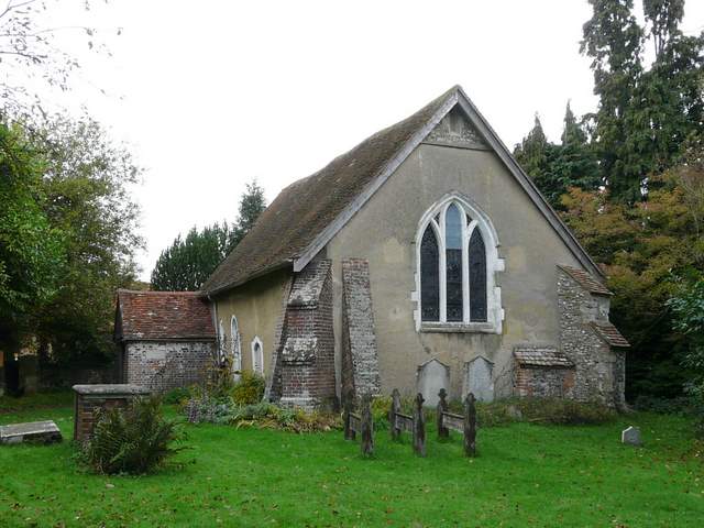
The old church, The Lee
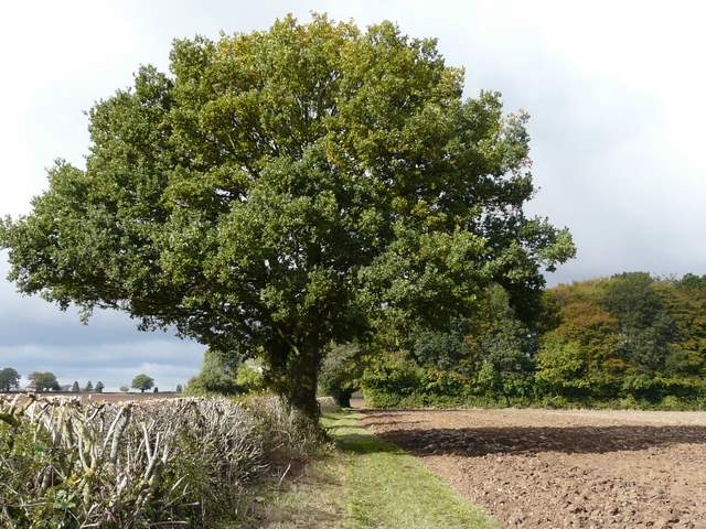
The path between The Lee and Kingsash
The path between The Lee and Kingsash
The path between The Lee and Kingsash
As I reached a paddock on the edge of the hamlet of Kingsash it started to rain (the skies had looked ominous for a while) and I put on my rain jacket. Beyond the paddock the the path went left along a drive to reach the minor road that runs through Kingsash. I then took a path almost opposite - it was now raining quite heavily, but beyond a small field I was sheltered as I walked alongside the edge of Barn Wood on my right. The path turned left in a field corner and then went right, passing the interestingly named Concord House. I was then soon inside the wood, heading steeply downhill through the trees. At the bottom of the slope I joined part of the Ridgeway national trail, coming in from my right.
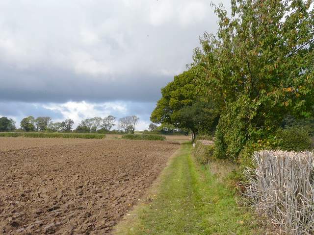
The path from Kingsash, heading towards Barn Wood
The path following the edge of Barn Wood through a large cattle pasture
The path just beyond Concord House, entering Barn Wood