Pete's Walks - Coombe Hill and Great Missenden (page 3 of 3)
The rain eased as I followed the Ridgeway past Boswells Farm and along a track called Hogtrough Lane (another intriguing name) towards Wendover - soon there were clear blue skies, which lulled me into a false sense of security. At the end of Hogtrough Lane I went more or less straight on (not right) along a lane, then took a path on the right opposite Wendover church. Soon there was a park to the left of the path and I stopped to eat my packed lunch on a park bench, only for the skies to grey over again and for it to start raining again almost as soon as I set off once more. I turned left after the park and at the end of this lane went right along a road for a few yards before taking Bacombe Lane on the other side.
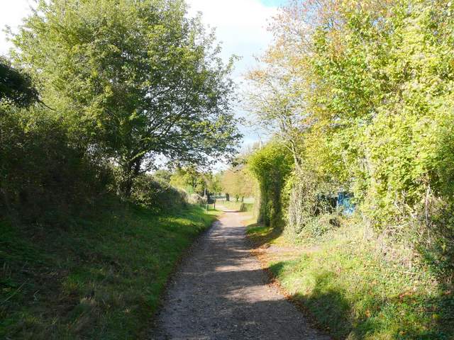
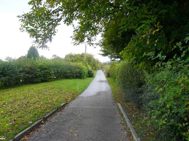
Hogtrough Lane
Hogtrough Lane
View towards Boddington Hill from Hogtrough Lane
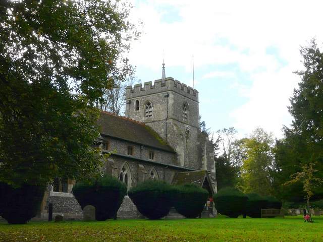
Wendover church
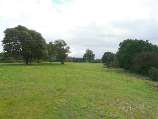
I followed Bacombe Lane from Wendover to the hamlet of Bacombe, then after half a mile took a footpath on the right (the second one on the right) which crossed a meadow diagonally and uphill to reach a lengthy bridleway rising up through the woods of Bacombe Hill, where I turned left.
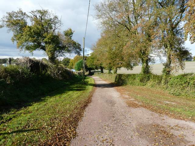
Bacombe Lane
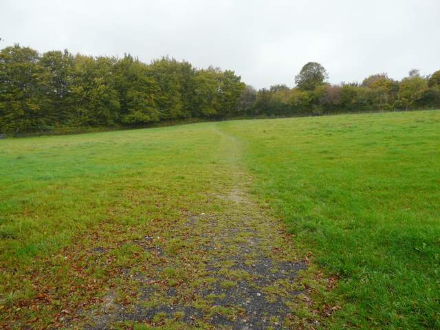
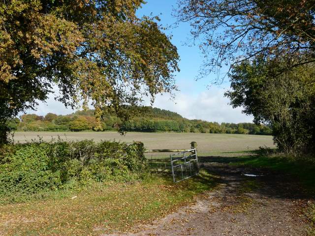
Path across meadow heading to Bacombe Hill
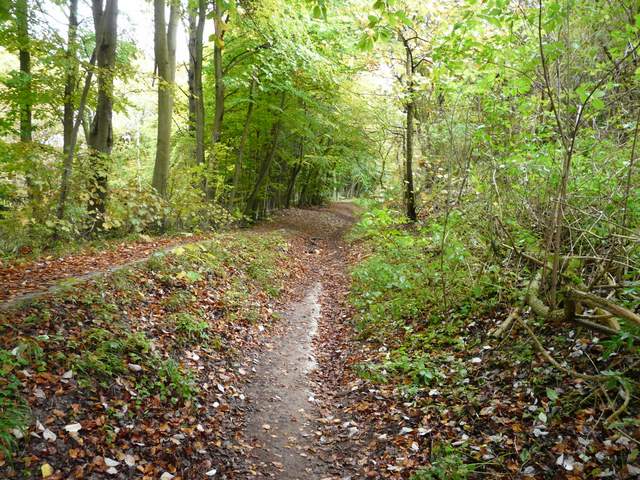
The bridleway up Bacombe Hill
The bridleway up Bacombe Hill
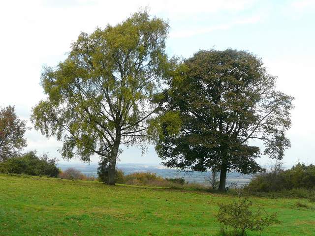
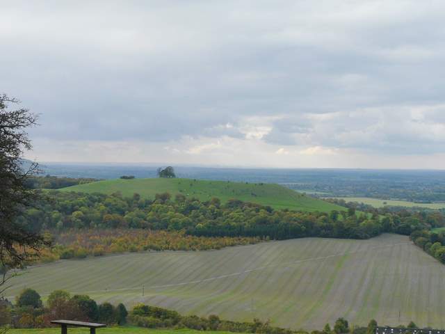
At some point Bacombe Hill ended and Coombe Hill began. After just over half a mile, at the top of the hill I turned right (I could have gone straight on here to reach the car park, I could actually see my car!) and went through a metal kissing-gate and then followed a path that took me to the Boer War monument on Coombe Hill. The rain had stopped again, and I was able to enjoy the extensive views over the Vale of Aylesbury (I don't remember seeing Aylesbury so clear or so close before). Didcot Power Station was visible on the skyline, immediately above Beacon Hill (which I always think is shaped like an upturned boat when seen from here). I then turned left and followed a broad stretch of grass with bushes either side. At the end of the grass the path went left through a few trees and continued a short distance back to the car park.
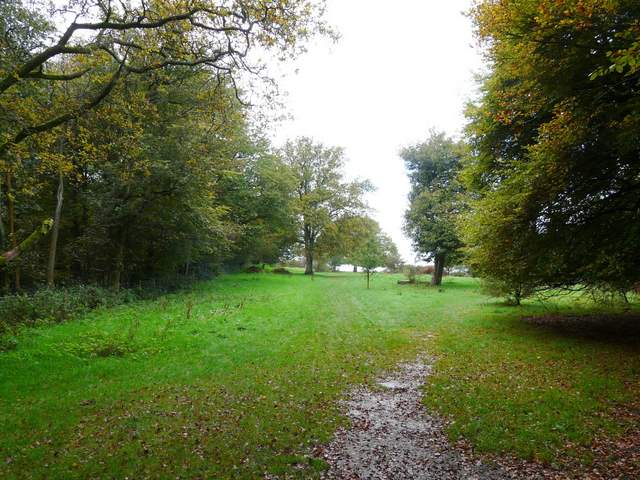
The path on top of Coombe Hill
View from Coombe Hill
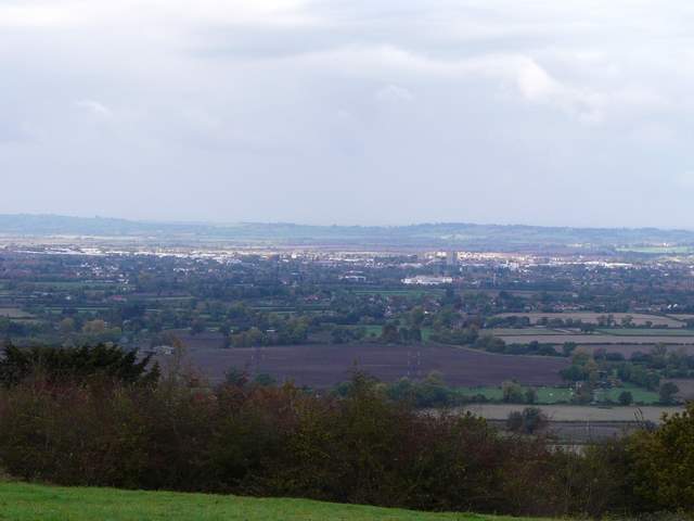
Looking over Aylesbury in the Vale of Aylesbury
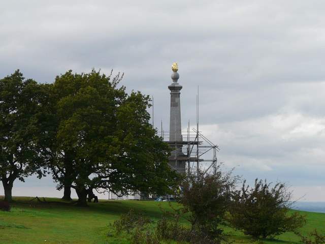
Scaffolding around the Boer War monument on Coombe Hill
Looking over Beacon Hill - the eyesore of Didcot Power Station was clearly visible on the horizon, but my camera has sensibly filtered it out somehow
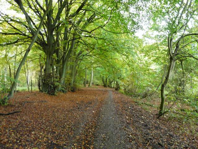
The route back to the car park
I really enjoyed the walk, despite the rain late on (really jut two prolonged showers). The day had started out in typical autumnal mist, before brightening up a I neared Great Missenden. The walk was ideal for my purposes - I only wanted to do about 12 miles as the final stage of breaking in my new boots and insoles, and I hadn't felt like exploring anywhere new. I hadn't done this actual walk in this direction before, but all the paths were ones I'd walked several times before.
Sadly the valley I walked around lies on the route of the proposed HS2 rail link between London and Birmingham. I passed several notices expressing opposition to this blighting of an Area of Outstanding Natural Beauty. For more information see the Chiltern Society's webs site: No HS2 across the Chilterns

Notice about the history of The Lee and the HS2 rail link