Pete's Walks - Watlington Hill, Turville, Cadmore End (page 1 of 4)
If you are considering walking this route yourself, please see my disclaimer. You may also like to see these notes about the maps and GPX files.
Google map of the walkDownload GPX file of the walk
UPDATE 30/10/2023: You now have to pay (£3 a day, I believe) at Watlington Hill car park, unless you are a National Trust member.
I did this roughly 14.5 mile circular walk on Saturday, 23rd October 2010. It was basically a repeat of a very good walk I did back in April, but in the opposite (anti-clockwise) direction. I varied the route by taking a longer and more familiar route from Christmas Common to Idlecombe Wood, Turville, which saved some road walking - I've marked this as an alternative on the map. Again it proved to be a particularly good walk and I took lots of photographs, so this report is spread over four pages.
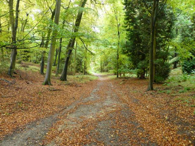
I set off from the car park on Watlington Hill (grid reference SU 709936) a few minutes after 10am. I was pleased to see the Highland Cattle at Watlington Hill Farm, I always look out for them when I come this way. Turning right from the car park, I followed the road a quarter of a mile to a T-junction, where I turned right to enter the village of Christmas Common. I forked left at a road junction, then almost immediately went right down Hollandridge Lane, which I followed to the edge of the village. Here (just past the last home on the right) I turned left onto a bridleway that entered a wood called Prior's Grove, going downhill through the trees to reach a path junction in a valley bottom. The route I used last time took a footpath straight on, but now I stayed on the bridleway as it turned right. There was now a very easy section of about 1.5 miles, following the bridleway through the trees as it followed the valley bottom, descending very slowly until I reached Turville Park Farm.

View from the entrance to Watlington Hill Farm, opposite the car park at the start of the walk, looking out over the Oxfordshire Plain and Vale of Aylesbury
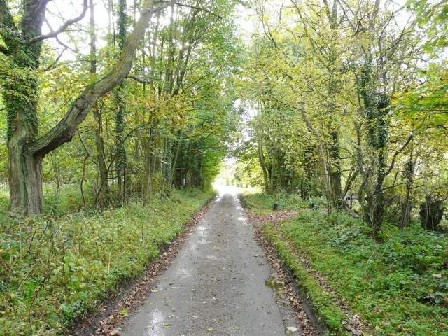
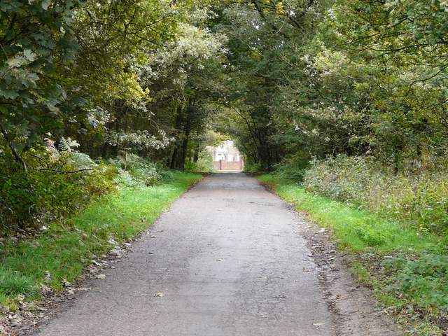
Lane through the village of Christmas Common
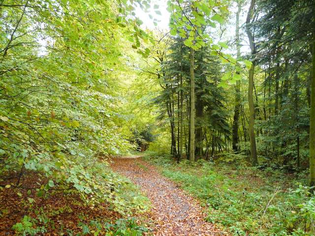
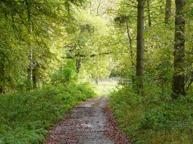
Start of the bridleway from Christmas Common
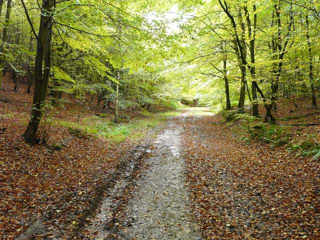
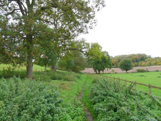
The long bridleway from Christmas Common, heading towards Stonor
The long bridleway from Christmas Common, heading towards Stonor
The long bridleway from Christmas Common, shortly before reaching Turville Park Farm
Beyond the farm the bridleway continued along field boundaries, still following the valley bottom - I saw Red Kites over a ploughed field on my right, where I've often seen them before. After a while the path switched to the left of a hedgerow and soon after I turned left at a path crossroads, following a path steeply uphill to a clump of trees with a bench and picnic table, and a magnificent view over Stonor in its valley to the south. At the next path junction I forked left (through an old metal kissing gate), crossing a corner of a large pasture containing some small bullocks off to my left, then across a meadow with a few Jacob's sheep sheltering under a tree. The path continued through the edge of some long grass, with a lawn and house on my left, before following a short driveway to reach a road junction at Turville Heath.
Just beyond Turville Park Farm
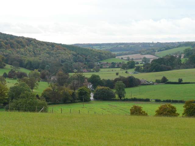
Stonor
Approaching Turville Heath
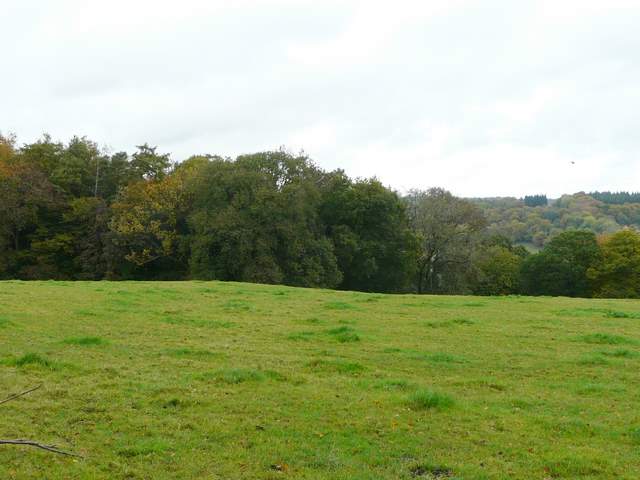
So far, the alternative route I'd followed from near Christmas Common had been very familiar (it's part of Walk 16 of my Chiltern Chain Walk, a route I've followed many times as it's a real favourite of mine), but I now briefly entered unknown territory. I took the lane on the other side of the road junction, and just past a small parking area on the left, turned left along a drive that brought me to a grand house called Turville Grange. A path ran through the grounds of the house, then I turned left at a path junction in a corner of a huge pasture (with my second load of bullocks of the morning). The path initially followed a fence on the left, then ran slightly downhill to reach Idlecombe Wood, descending more steeply through the trees to reach another path junction. Here I turned right, rejoining the route I'd used back in April (though going in the opposite direction).
Lane on/in Turville Heath
Approaching Idlecombe Wood
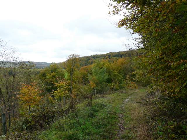
The next section of the walk was an absolute delight. The path contoured through the trees of Idlecombe Wood and then Churchfield Wood, high up on one side of a long valley. Every so often there were gaps in the trees on my left, giving attractive views along or across the valley. It was still a very grey morning, so the views weren't at their best, but with the trees being a mixture of summer and autumn colours they were still enjoyable.
Near the start of the contouring path through Idlecombe Wood
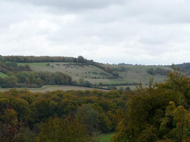
View towards Cobstone Mill from near the start of the contouring path through Idlecombe Wood
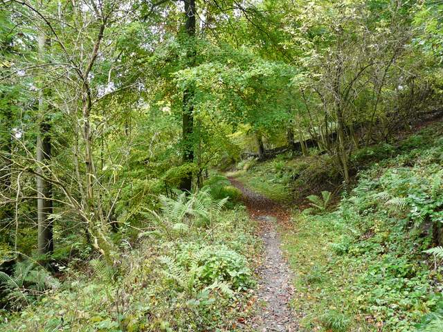
The contouring path through Idlecombe Wood