Pete's Walks - Old Amersham and Beaconsfield (page 1 of 3)
If you are considering walking this route yourself, please see my disclaimer. You may also like to see these notes about the maps and GPX files.
Google map of the walkDownload GPX file of the walk
I did this roughly 13.5 mile walk on Saturday, 8th January 2011. It was largely a repeat of the Old Amersham and Beaconsfield walk I did last March, but in the opposite (anti-clockwise) direction and with a new shorter route between Amersham and Beamond End (I have shown this as Alternative 1 on the map). I chose to follow this alternative route partly because I fancied trying something new, and partly because I remembered how muddy Kingstreet Lane had been.
I paid £3.20 to park in Old Amersham (probably an unnecessary expense, there was surprisingly lots of free spaces on the High Street but I'm not sure how long you can park there for - the car park is free on Sundays). I started walking at about 9.45, turning right from the car park and heading northwest along the very attractive High Street. I followed the street for about half a mile. Just outside the town, the pavement bears left to run alongside the busy A413 for about 100 yards, before going under that road (sharing the underpass with the river Misbourne) to emerge near the entrance to the grounds of Shardeloes, a large white house (now apartments) on the hillside ahead.
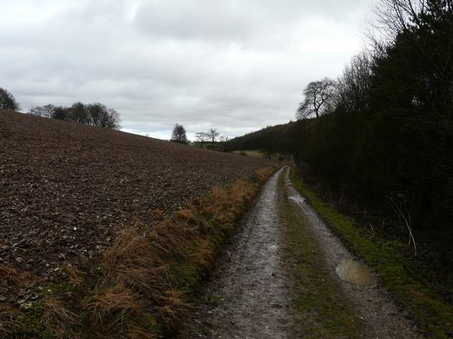
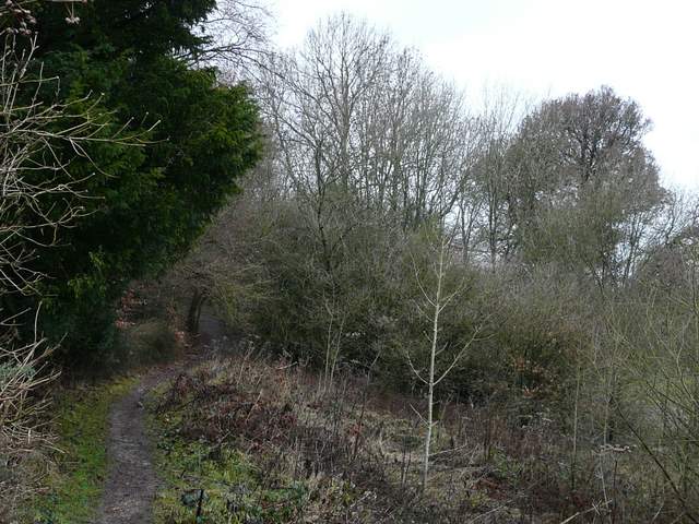
I normally take the path past the cricket ground and follow the South Bucks Way along the Misbourne Valley to Little Missenden (the way I came back last March), but today I continued along the drive towards Shardeloes. The right of way doesn't go as far as the grand house, turning right just after Lower Park House. The path was a broad grass strip beside a mature hedge, with numerous horse jumps along the way. There were ploughed fields either side, as the path followed the bottom of a small valley, with trees at the top of the slopes either side. I saw two or three Red Kites along here, one circling low overhead for a while. further on I passed beside a wood on my left, then followed a hedge through a field of rough grass where I saw another Kite and a Kestrel. Just as the path reached some woods (surrounding a large electricity substation near Mop End) I heard and then spotted a Buzzard.
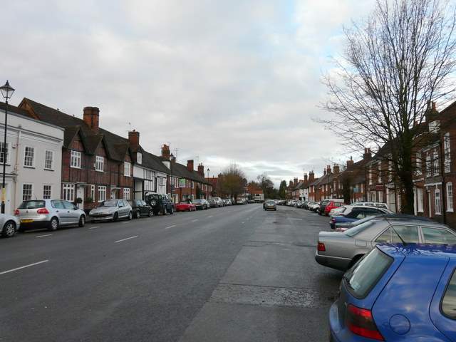
Old Amersham
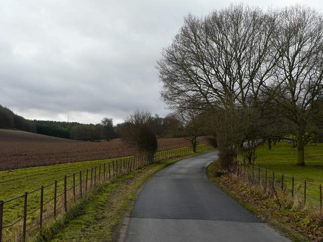
The drive to Shardeloes
Just after turning right from the drive to Shardeloes
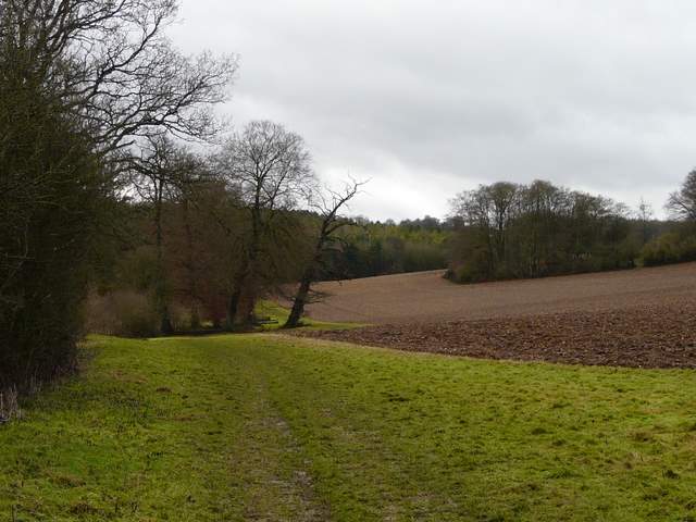
further along the path from the drive to Shardeloes
Looking back along the same path from further on
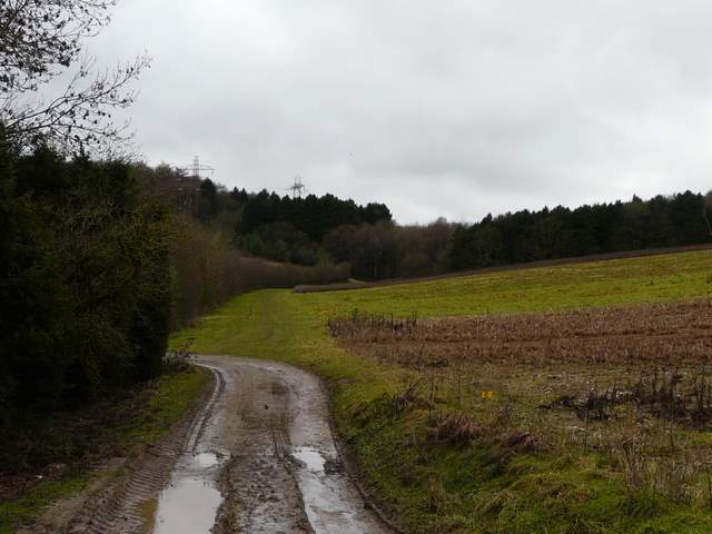
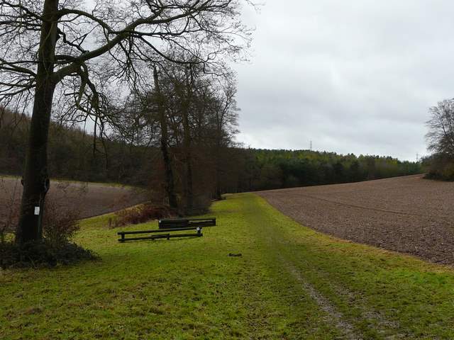
looking ahead to the woods around the electricity substation
Nearing the woods
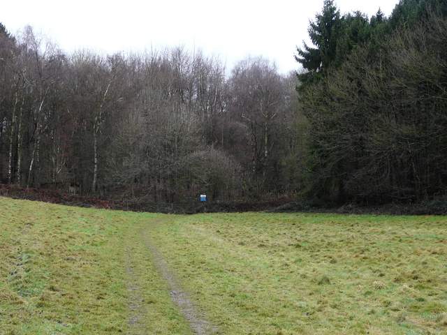
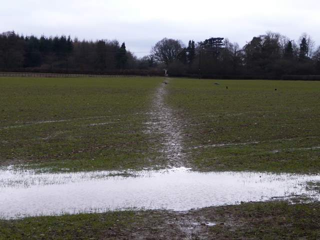
The path continued through the trees (there seemed to be an unmarked path junction just inside the wood, but I correctly followed the clearer path straight on). Soon there was an embankment of sorts on my left, with the electricity substation beyond. The path turned half-right and then followed close to the edge of the woods, eventually reaching Mop End Lane by Mop End Farm. The path (the left-most of two that start across the lane) then continued across a very wet arable field to reach Toby's Lane, where I briefly joined the route of the Chiltern Heritage Trail as I then crossed a pasture to reach the hamlet of Beamond End. At the end of a short drive or track I turned left into Beamond End Lane, going straight on at the end of the lane, before carefully crossing the A404 and entering Penn Wood.
The path through the woods - the electricity substation is beyond the bank on the left
Further on through the woods,
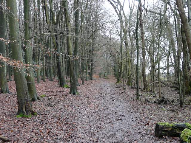
These woods are called The Rough Park on the map, presumably still a part of the grounds of Shardeloes
The path to Beamond End, from just across Mop End Lane
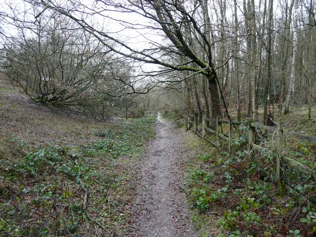
I soon reached a three-way junction in the wood, where I took the middle path going half-left. Like most of the paths today, this one was a bit wet underfoot. It took me to the cruciform church at Penn Street, where I turned right to reach the village green.

Entering Penn Wood
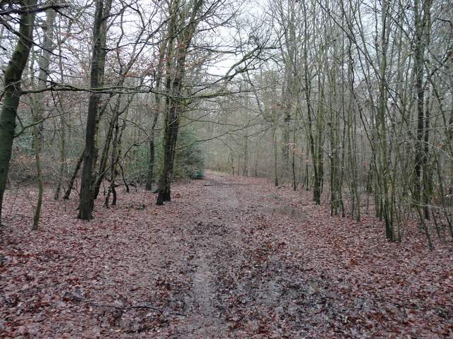
Penn Wood, the path to Penn Street church
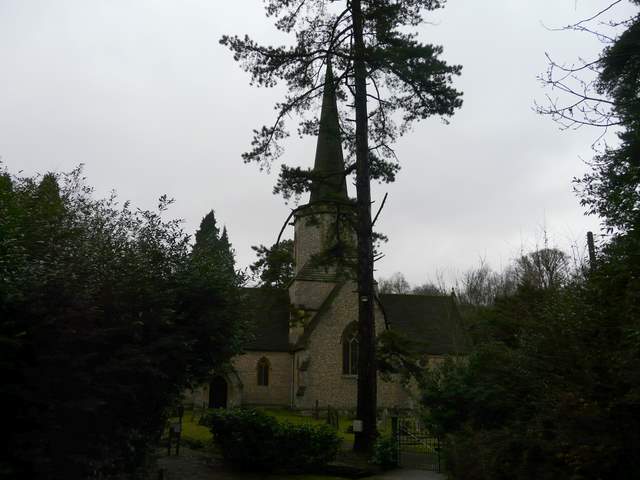
Penn Street church
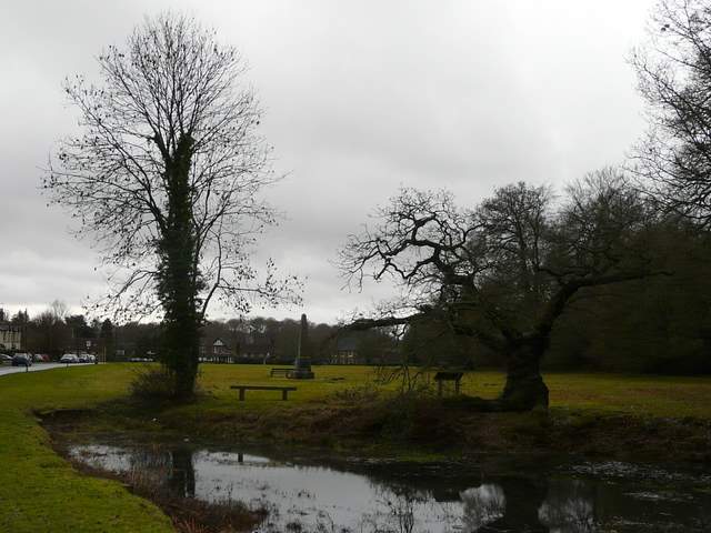
Penn Street