Pete's Walks- Circular walk from Chesham (page 1 of 5)
If you are considering walking this route yourself, please see my disclaimer. You may also like to see these notes about the maps and GPX files.
Google map of the walkDownload GPX file of the walk
I did this roughly 14.4 mile circular walk on Sunday, 13 January 2013. It was Walk 7 of my Chiltern Chain Walk, done in the opposite direction (anti-clockwise).
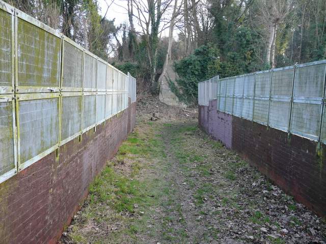
I parked at the railway station in Chesham (free because it was a Sunday, one reason I did this walk today!) and started walking about 9.40am. It was a very cold morning, -2C, and it would still only be 0C when I finished the walk. I followed an alley from the side of the station entrance, which ran parallel to the railway line. I soon turned left and crossed a bridge over the railway, the path going round a hairpin bend and then continuing quite steeply uphill. At the top of the slope the path continued across a large arable field, with a good view over Chesham down in the valley on my left. My hands felt quite cold here, but soon warmed up. Through a kissing-gate on the far side, I turned half-left along the edge of a pasture containing four Alpacas and a couple of sheep. Beyond the pasture I turned right along a path between field boundaries, before taking a path on the left at a junction near Dungrove Farm that crossed a large field containing a few ponies or horses.
The bridge over the railway line, Chesham
The path climbing uphill from the railway bridge
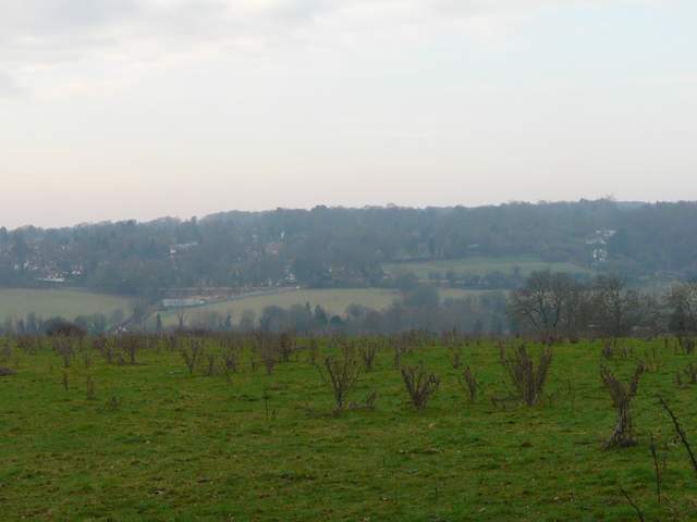
View north over Chesham (the wood on the top of the hill in the centre is Captain's Wood, I think, which I'd pass through much later today)
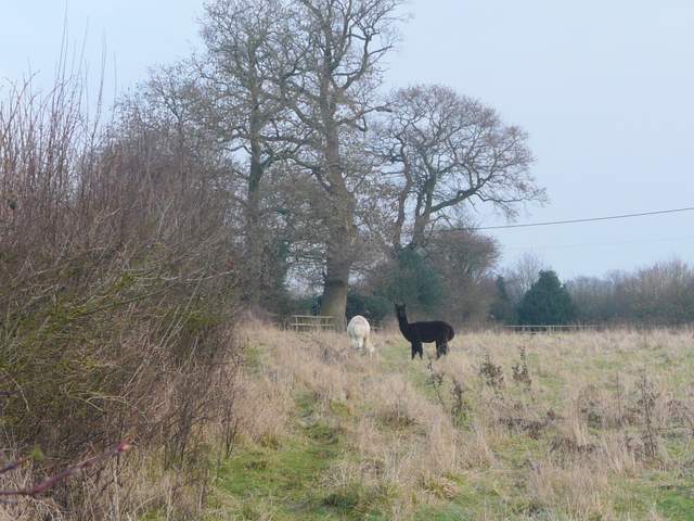
Alpacas near Dungrove Fram
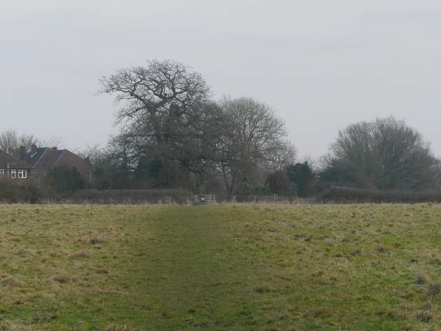
Path across a paddock just north of Dungrove Farm
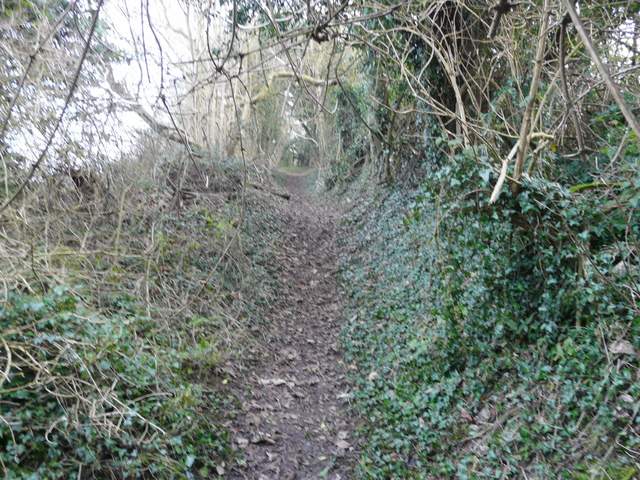
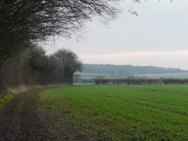
I crossed the drive to Dungrove Farm, and followed a path alongside a hedge on the left. After a while there were school playing fields on the other side of the hedge. When the hedge eventually met a crossing hedgerow, the path continued ahead through another arable field, and started descending into a valley. On reaching the far side of the field, the path continued on downhill through a rough pasture to reach a bridleway called Bottom Lane. I turned right and followed the bridleway as it ran between hedges in the valley bottom. After several hundred yards, I turned left on a short path that cut across the corner of a field to join Green Lane, a similar hedge-lined bridleway to Bottom Lane.
The path past the school playing fields
The same path descending eastwards
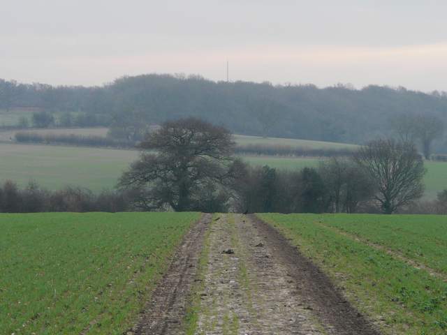
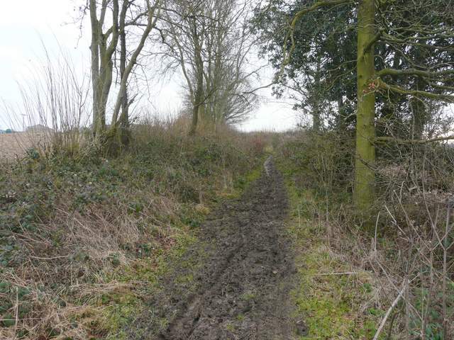
The path continuing downhill to reach Bottom Lane
Bottom Lane
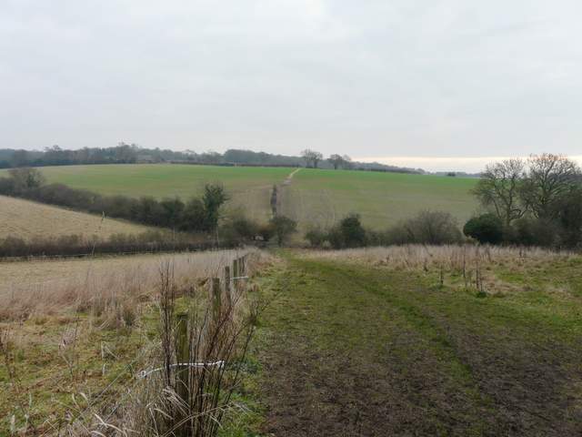
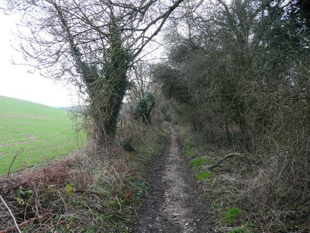
The short-cut across a field corner, between Bottom Lane and Green Lane (rising uphill between hedges)
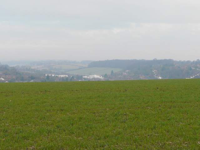
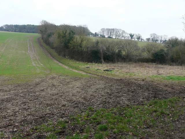
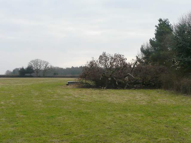
Green Lane rose uphill, then at the top of the slope passed a wood on the left. There was soon a view to the right, over the Chess Valley towards Chesham Bois. I stayed on Green Lane for about three quarters of a mile in all, until it eventually ended at a lane by White End Park Farm. Here I turned left, but after a couple of hundred yards or so I turned right on a path that followed the right edge of a large empty pasture (I had to take a diversion round a large fallen tree). Along the lane I'd just noticed a Red Kite, and here I saw it swoop down and appear to grab something from the ground.
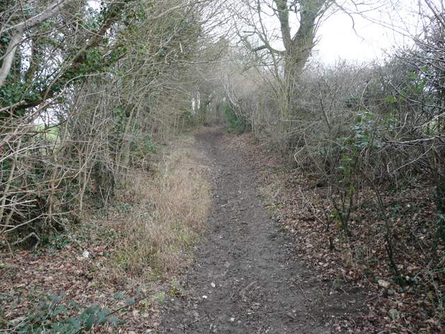
Green Lane
Green Lane
View right from Green Lane, over the Chess Valley towards Chesham Bois
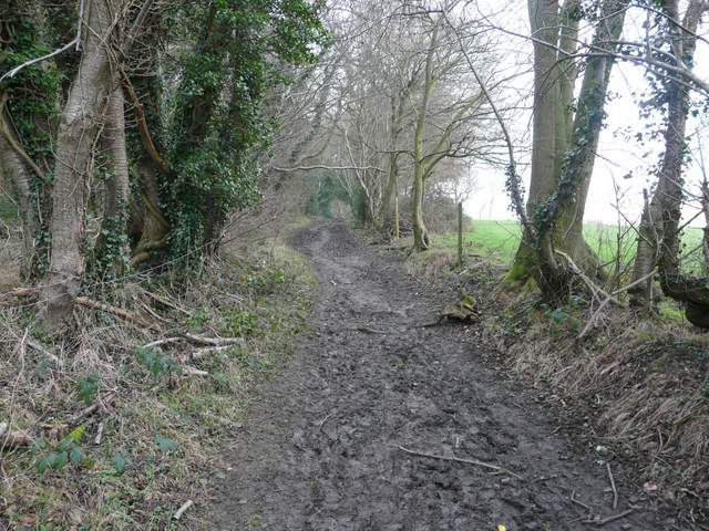
Green Lane, approaching White End Park Farm
The path between two lanes, just past White End Park Farm