Pete's Walks- Circular walk from Chesham (page 2 of 5)
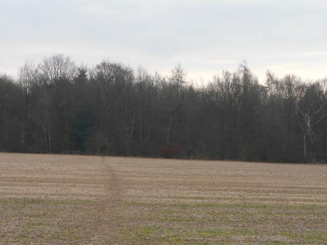
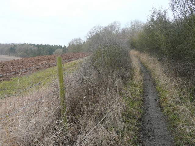
Across another lane (Blackwell Hall Lane) a path continued south-eastwards across another arable field to Codmore Wood. As I continued along the path through the wood I remembered once seeing numerous Yellow Pimpernel here - a downside of becoming interested in Wildflowers and Butterflies is that I now really miss seeing them in these cold winter months! Beyond Codmore Wood the path crossed a very large arable field (deceptively large, it took much longer to cross than I'd first thought) to reach a lane. Here I turned right and followed the lane towards Latimer. After a while I heard bells ringing, and as I passed Latimer church I saw a service was just starting at 11am.
Approaching Codmore Wood
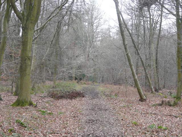
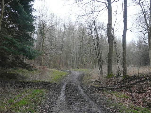
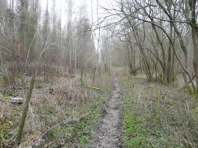
Codmore Wood
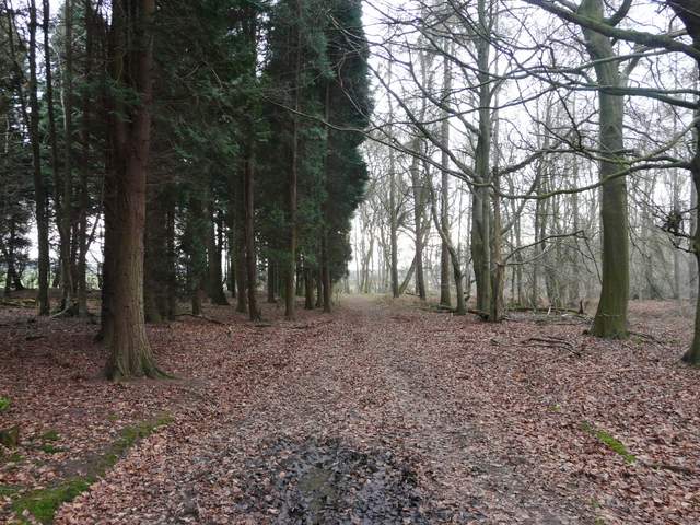
Codmore Wood
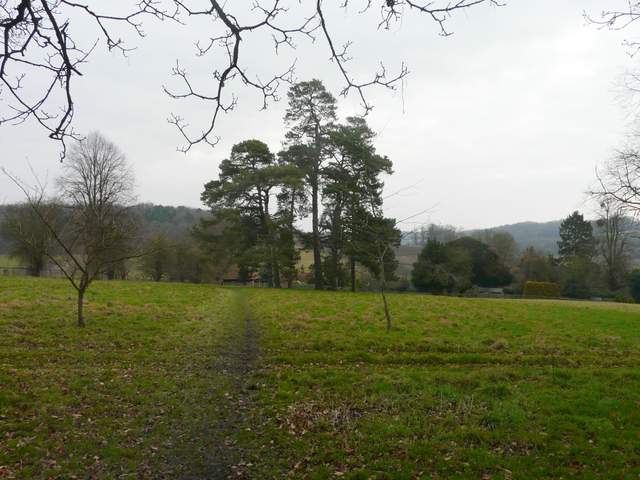
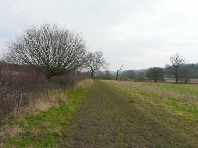
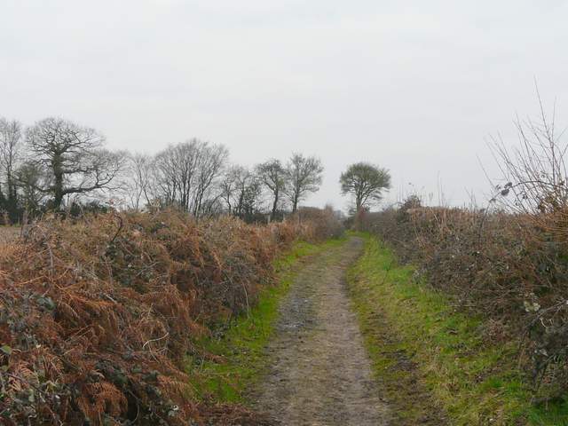
The path going southeast from Codmore Wood towards Latimer
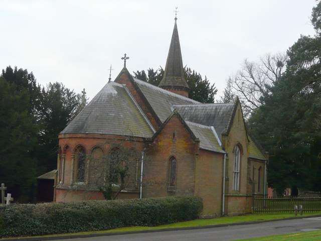
Latimer church
A short distance past the church, a path went left, eastwards, cutting off a large curve in the lane by crossing a meadow to reach a short alley that led into the centre of Latimer. I turned left, but kept right of the triangular green (with its various interesting artefacts!) and turned right at a junction. On the edge of the village I took a path going left, heading eastwards along the Chess Valley, initially through a large and irregularly shaped pasture. After a while I passed the site of the old church of Flaunden, in bushes down by the river over to my right. I noticed several people at different points along the river, apparently bird watching. I met a party of walkers and/or bird watchers coming the other way, and one of them said something about Egrets to me - I assumed they meant the Little Egrets I've seen here several times before, but when I got home I discovered that there'd been a sighting of a Great White Egret, a bird I've only seen a couple of times before.
The path that cuts out a loop from the road into Latimer
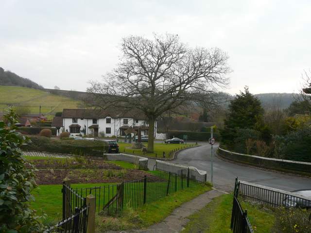
Latimer - I kept right of the green and turned right at its end
The village and parish of Latimer lies in Buckinghamshire, but borders Hertfordshire. It was originally joined with the neighbouring village of Chenies, when both were called Isenhampstead and there was a royal palace in the area. During the reign of Edward III the land was split between two barons, William Latimer and Thomas Cheyne, from whom the two villages derived their modern names. At the time of the English Civil War the manor of Latimer belonged to the Earl of Devonshire. Charles I was brought to Latimer on his way to London after being captured by the Parliamentarians. There is a very attractive triangular green in the centre of Latimer. On the green is an old water pump, a memorial to the local men who died in the Boer war, and another tomb-shaped stone memorial marking the burial place of the heart of a horse that was wounded when a General Villebois was killed (also in the Boer War).
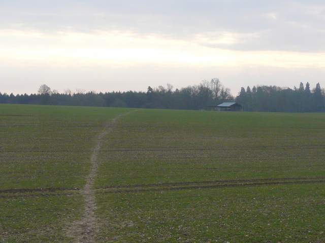
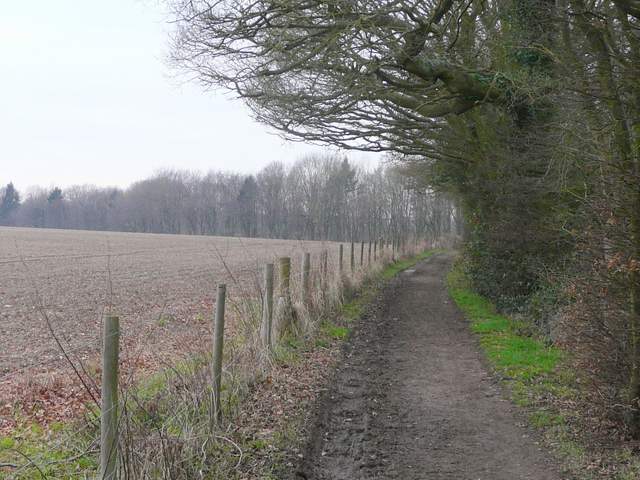
The start of the path going east along the Chess Valley from Latimer
The path going east along the Chess Valley from Latimer
I then turned left along a hedge-lined bridleway that rose gently uphill and took me to Baldwin's Wood. The half-mile of bridleway through the wood was muddy in places (so far much of the mud had been frozen, making for easier walking). On the far side of the wood I came to a junction, where I went straight on northwards, along a 'public restricted byway' according to the metal fingerpost.
The bridleway from the Chess Valley north to Baldwin's Wood
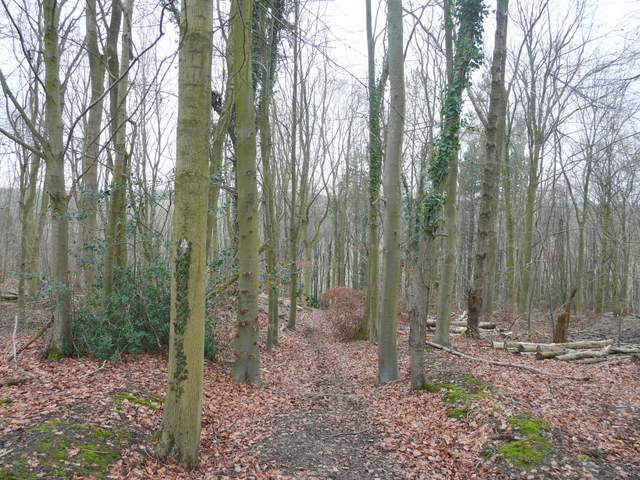
Baldwin's Wood
Baldwin's Wood
The restricted public byway, going north from Baldwin's Wood
At the next junction I turned left, following a bridleway along a track to reach a wood (I've always thought of it as Long Wood but it's possibly Hanging Croft - it's on the edge of two OS maps and they each use the different names without showing a boundary between the woods). On entering the wood I stayed straight on at a bridleway junction, and dropped steeply down through the wood. Beyond the wood, the bridleway ran downhill between the wire fences of a couple of pastures, to end on the road that runs through the valley of Flaunden Bottom.
The bridleway going west to Long Wood (or possibly Hanging Croft)
The bridleway descending through Long Wood (or Hanging Croft)
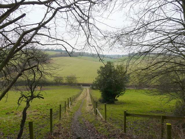
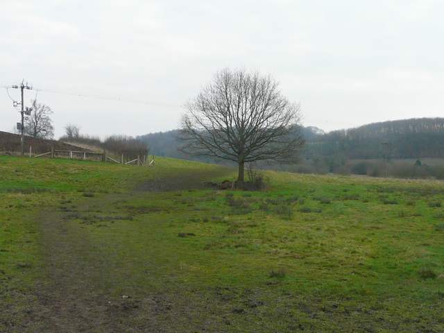
The bridleway descending to the road through Flaunden Bottom